Bank Wood
Wood, Forest in Cumberland Eden
England
Bank Wood
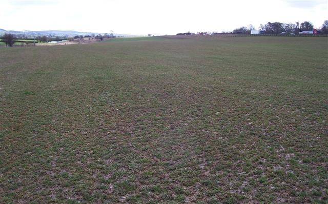
Bank Wood is a picturesque forest located in the county of Cumberland, England. Covering an area of approximately 100 acres, this wood is known for its natural beauty and diverse wildlife. It is situated on the outskirts of a small village, providing a tranquil escape from the hustle and bustle of urban life.
The forest is primarily composed of broadleaf trees, including oak, beech, and ash, which create a dense canopy overhead. The woodland floor is carpeted with an array of wildflowers and ferns, adding to its enchanting atmosphere. Walking along the well-maintained trails, visitors can enjoy the peaceful ambience and immerse themselves in nature's wonders.
Bank Wood is home to a variety of wildlife species, making it a popular spot for nature enthusiasts and birdwatchers. The forest provides habitat for birds such as woodpeckers, owls, and thrushes, as well as small mammals like squirrels and hedgehogs. The occasional sighting of deer adds to the charm of this woodland.
The forest is open to the public year-round and offers various recreational activities. Visitors can engage in hiking, birdwatching, and photography, or simply unwind in the tranquility of nature. The well-marked trails ensure easy navigation, and there are picnic areas available for those wishing to relax and enjoy a meal amidst the natural surroundings.
Bank Wood in Cumberland is a hidden gem, offering a peaceful retreat for nature lovers and a chance to connect with the beauty of the outdoors.
If you have any feedback on the listing, please let us know in the comments section below.
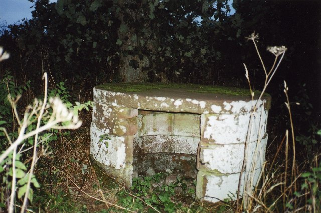
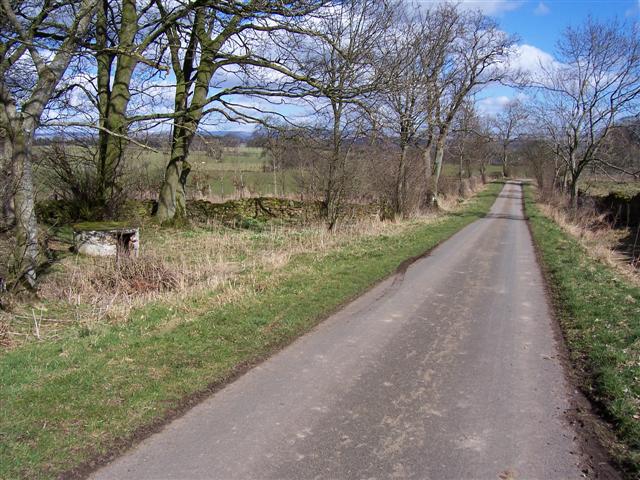
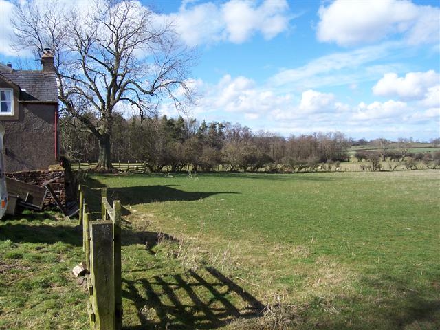
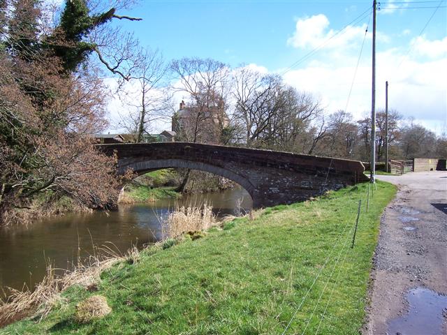
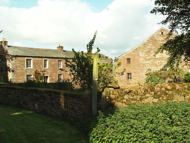
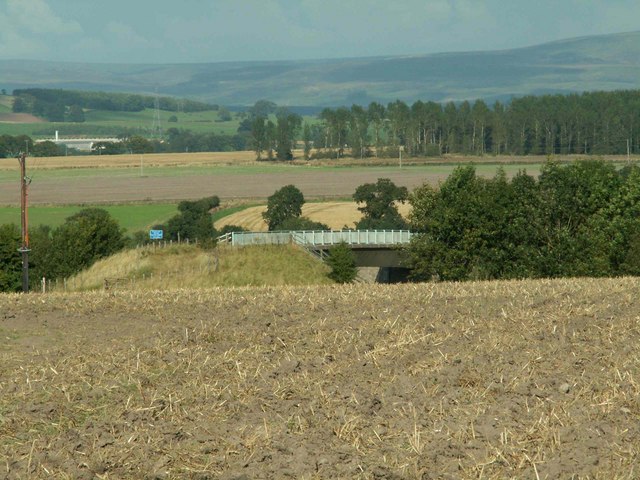
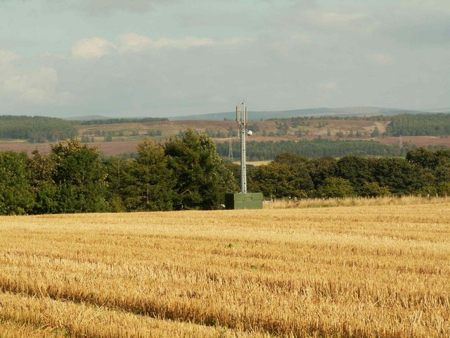
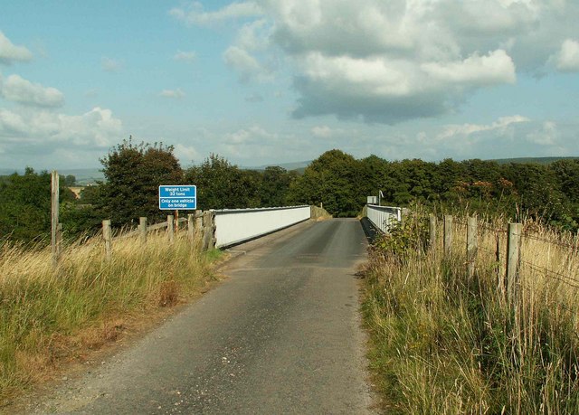
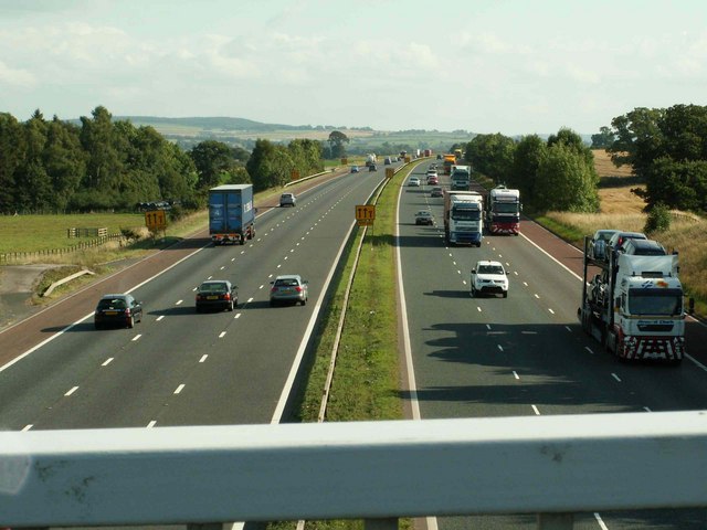
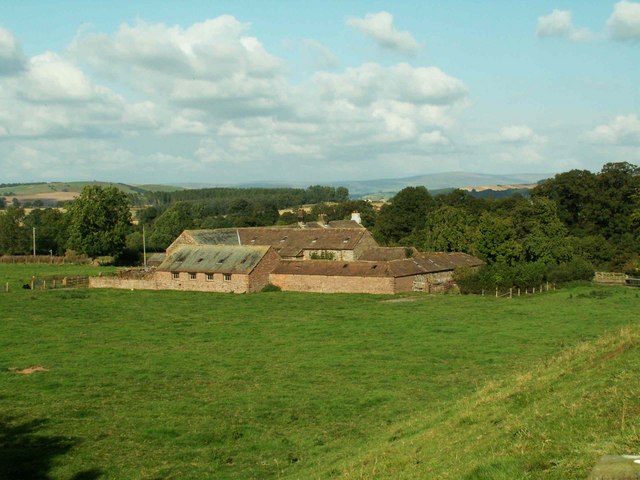
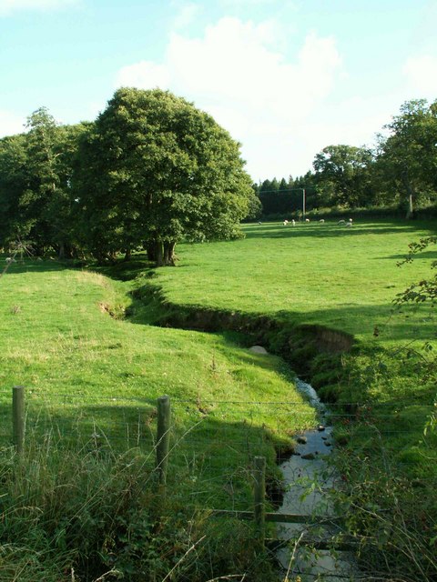
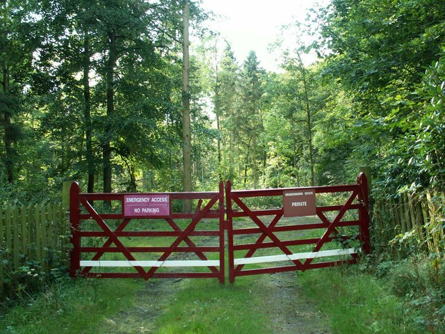
Bank Wood Images
Images are sourced within 2km of 54.737208/-2.8229745 or Grid Reference NY4738. Thanks to Geograph Open Source API. All images are credited.


Bank Wood is located at Grid Ref: NY4738 (Lat: 54.737208, Lng: -2.8229745)
Administrative County: Cumbria
District: Eden
Police Authority: Cumbria
What 3 Words
///turns.slices.inflation. Near Penrith, Cumbria
Nearby Locations
Related Wikis

Calthwaite
Calthwaite is a small village in rural Cumbria, England, situated between the small market town of Penrith and the larger city of Carlisle. It is within...
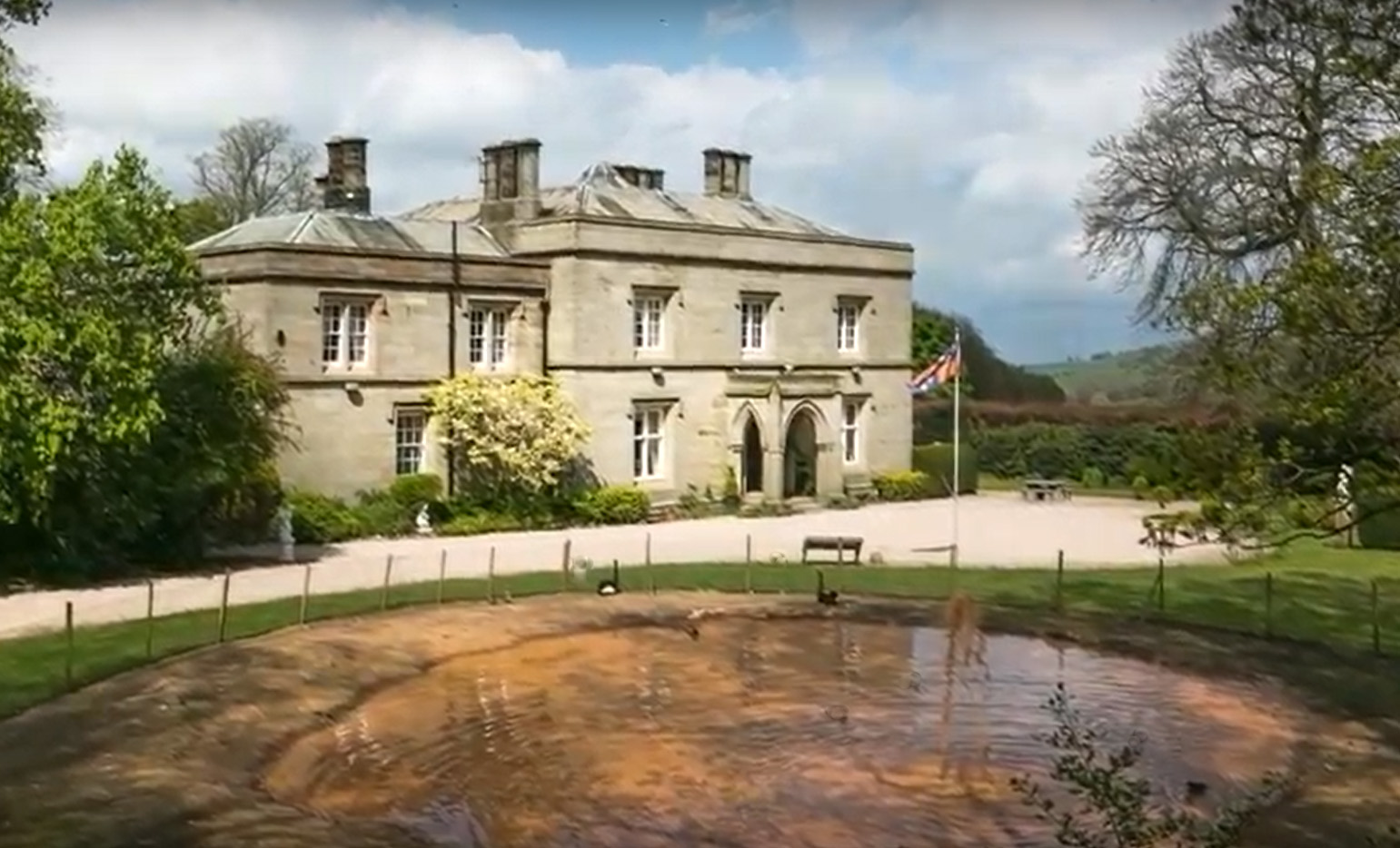
Calthwaite Hall
Calthwaite Hall, near Penrith in Cumbria, England, is a house of historical significance and is Grade II listed on the National Heritage List for England...

Plumpton railway station (Cumbria)
Plumpton railway station in Hesket parish in what is now Cumbria but was then Cumberland in the north west of England, was situated on the Lancaster and...
Calthwaite railway station
Calthwaite railway station in Hesket parish, was situated on the Lancaster and Carlisle Railway (the West Coast Main Line) between Carlisle and Penrith...

Brockleymoor
Brockleymoor was a hamlet in Cumbria, England, but it is now part of the village of Plumpton. It is located several miles north of Penrith, not far from...

Morton, Eden
Morton is a hamlet near the village of Calthwaite, in the civil parishes of Hesket and Skelton, within the Eden district of the English county of Cumbria...

Hutton in the Forest
Hutton in the Forest is a Grade I listed country house near the village of Skelton in the historic county of Cumberland, which now forms part of the modern...

Plumpton, Cumbria
Plumpton or Plumpton Wall is a small village and former civil parish, in the parish of Hesket, in the Westmorland and Furness district, in the traditional...
Nearby Amenities
Located within 500m of 54.737208,-2.8229745Have you been to Bank Wood?
Leave your review of Bank Wood below (or comments, questions and feedback).