Vallets Coppice
Wood, Forest in Herefordshire
England
Vallets Coppice
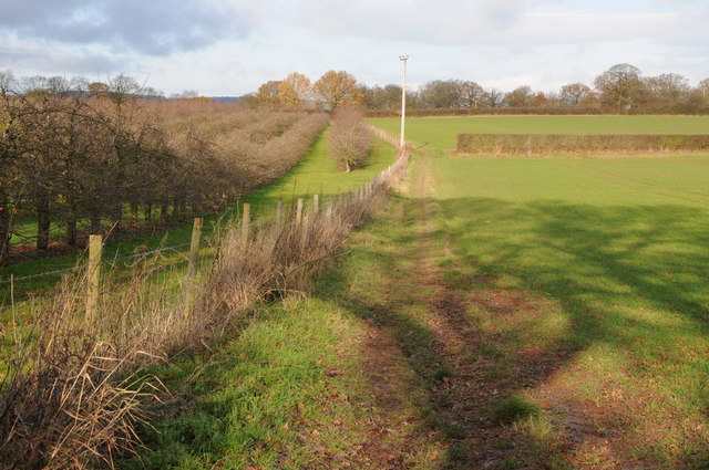
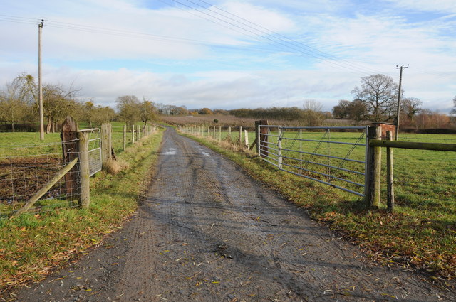
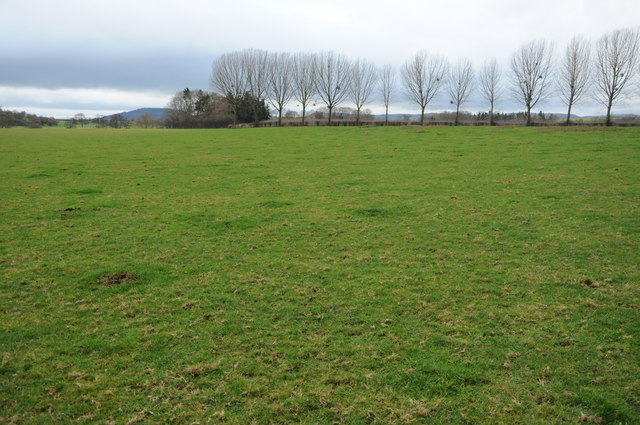
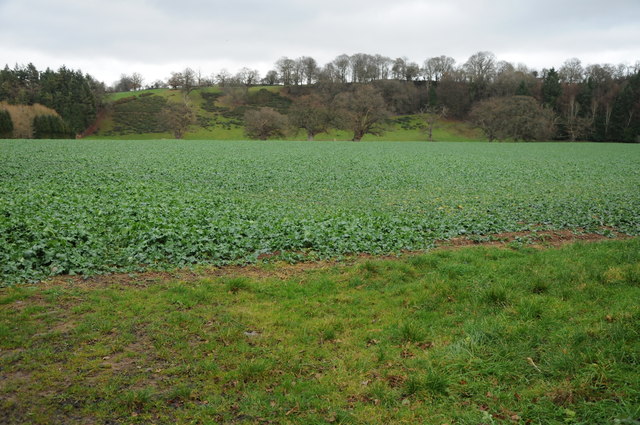
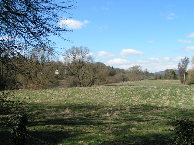
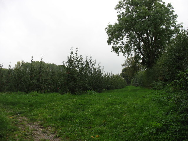
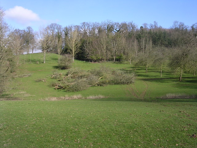
Vallets Coppice is a picturesque woodland located in the county of Herefordshire, England. Nestled within the tranquil countryside, this ancient forest spans over a vast area of approximately 100 hectares. The coppice is renowned for its diverse range of tree species, including oak, ash, beech, and birch, which form a dense canopy overhead, providing shade and shelter for the abundant wildlife that call this woodland home.
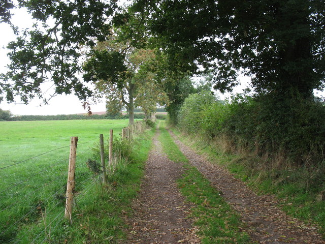
As visitors enter Vallets Coppice, they are greeted by a network of well-maintained trails, inviting them to explore the natural beauty and peacefulness of the surroundings. The paths meander through the forest, passing by enchanting glades, trickling streams, and patches of vibrant wildflowers that add a splash of color to the green landscape.
The woodland is not only a haven for nature enthusiasts but also for birdwatchers, as it attracts a wide variety of avian species. Birdsong fills the air, and lucky visitors may catch a glimpse of woodpeckers, owls, and various songbirds flitting among the branches.
Vallets Coppice has a rich history that dates back centuries. It was traditionally managed as a coppice woodland, where trees were regularly cut for timber and firewood, allowing new growth to emerge. Today, the management techniques in the coppice have evolved, focusing on conservation and sustainable practices to ensure the preservation of this valuable ecosystem.
Whether it's a leisurely stroll, a birdwatching expedition, or simply a desire for solitude amidst nature, Vallets Coppice offers a serene and captivating experience for all who venture into its leafy embrace.
If you have any feedback on the listing, please let us know in the comments section below.
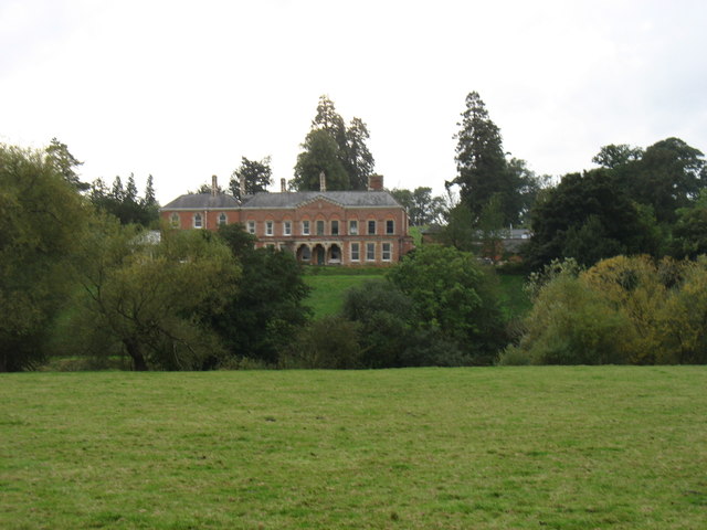
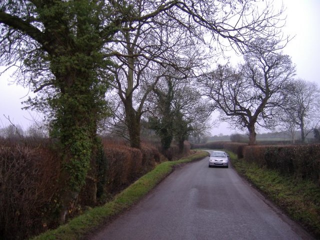
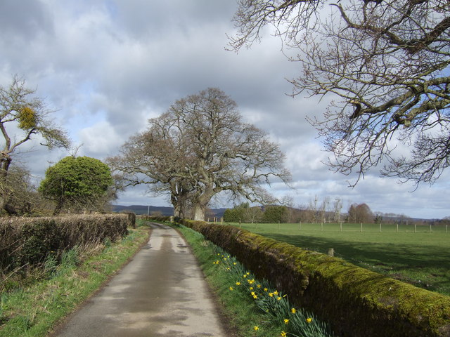
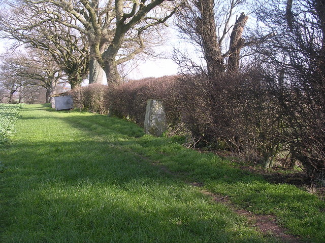
Vallets Coppice Images
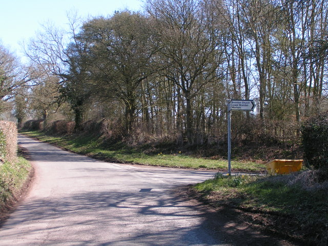
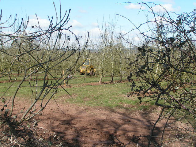
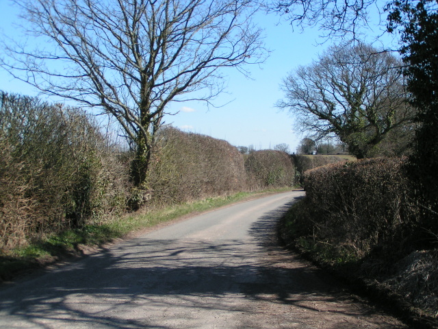
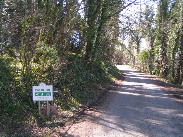
Images are sourced within 2km of 52.046351/-2.7891218 or Grid Reference SO4538. Thanks to Geograph Open Source API. All images are credited.
Vallets Coppice is located at Grid Ref: SO4538 (Lat: 52.046351, Lng: -2.7891218)
Unitary Authority: County of Herefordshire
Police Authority: West Mercia
What 3 Words
///archives.paraded.scooters. Near Belmont, Herefordshire
Nearby Locations
Related Wikis

Breinton
Breinton is a civil parish in Herefordshire, England. Breinton lies just to the west of Hereford. The name Breinton appears to be a modernised form of...

Upper Breinton
Upper Breinton is a village in Herefordshire, England. It is located in the civil parish of Breinton. == References == The geographic coordinates are from...

Eaton Bishop
Eaton Bishop is a small village and civil parish in Herefordshire, West Midlands, England. It is located south west of Hereford and is between the villages...

Clehonger
Clehonger is a village and civil parish in Herefordshire, England, and 7 km (4.3 mi) south-west of Hereford. Clehonger is from the old English 'Clayey...
Nearby Amenities
Located within 500m of 52.046351,-2.7891218Have you been to Vallets Coppice?
Leave your review of Vallets Coppice below (or comments, questions and feedback).