Needless Wood
Wood, Forest in Lancashire Wyre
England
Needless Wood

Needless Wood is a picturesque forest located in the county of Lancashire, England. Situated in the northwestern part of the country, this woodland area covers a vast expanse, making it a haven for nature enthusiasts and outdoor adventurers. With its dense foliage and diverse range of flora and fauna, Needless Wood offers a tranquil escape from the hustle and bustle of urban life.
The forest is known for its ancient and majestic trees, some of which are believed to be several centuries old. Towering oak, beech, and ash trees dominate the landscape, creating a serene and enchanting atmosphere. The woodland floor is carpeted with a rich variety of wildflowers, adding bursts of color to the scene during the spring and summer months.
Aside from its natural beauty, Needless Wood boasts several walking trails, making it an ideal destination for hikers and nature lovers. These paths wind through the forest, allowing visitors to explore its hidden treasures and enjoy the peaceful surroundings. The forest also offers opportunities for birdwatching, with various species of birds calling this woodland their home.
Needless Wood is a popular spot for picnics and family outings, with designated areas for relaxation and enjoying the natural surroundings. The forest is well-maintained, with proper facilities for visitors, including parking lots and picnic areas. Additionally, there are information boards throughout the woodland, providing educational insights into the local wildlife and ecosystem.
In conclusion, Needless Wood in Lancashire is a stunning forest that offers a serene retreat for those seeking a connection with nature. Its ancient trees, diverse flora, and well-maintained trails make it an attractive destination for outdoor enthusiasts and families alike.
If you have any feedback on the listing, please let us know in the comments section below.
Needless Wood Images
Images are sourced within 2km of 53.857279/-2.8227859 or Grid Reference SD4540. Thanks to Geograph Open Source API. All images are credited.


Needless Wood is located at Grid Ref: SD4540 (Lat: 53.857279, Lng: -2.8227859)
Administrative County: Lancashire
District: Wyre
Police Authority: Lancashire
What 3 Words
///slant.machine.growl. Near Great Eccleston, Lancashire
Nearby Locations
Related Wikis

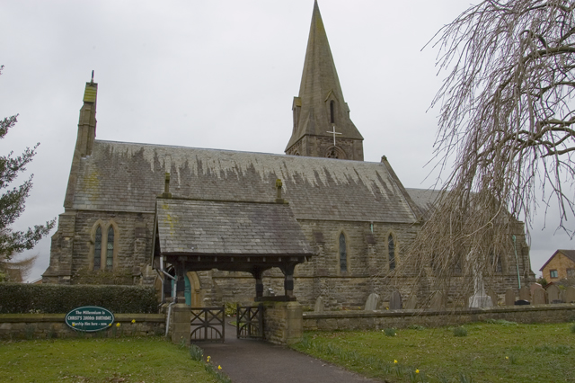
St Michael's Church, St Michael's on Wyre
St Michael's Church is an Anglican church in the village of St Michael's on Wyre, Lancashire, England. It is a typical late Medieval church and has been...

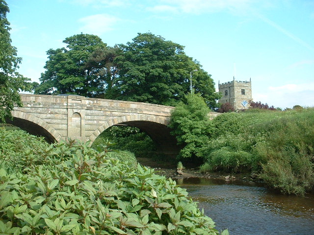
River Brock
The River Brock is a river running through the county of Lancashire in England. Commencing its journey on Fair Snape Fell, the infant River Brock runs...
St Michael's on Wyre
St Michael's on Wyre is a village on the Fylde, in the Borough of Wyre, in Lancashire, England; it lies on the River Wyre. The village is centred on the...
Upper Rawcliffe-with-Tarnacre
Upper Rawcliffe-with-Tarnacre is a civil parish on the Fylde, in the Borough of Wyre, in Lancashire, England. It had a population of 604 in 2001, increasing...
Inskip, Lancashire
Inskip is a small village in the Fylde area of Lancashire, England. It is part of the civil parish of Inskip-with-Sowerby. The village is close to the...
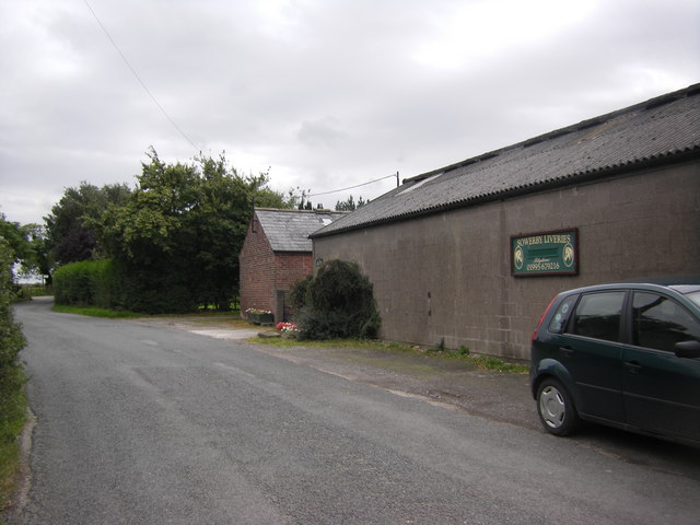
Inskip-with-Sowerby
Inskip-with-Sowerby is a civil parish in the Borough of Wyre, in Lancashire, England. A part of the Fylde, the parish includes the village of Inskip and...
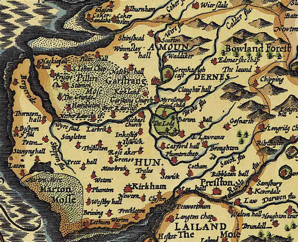
Amounderness Hundred
The Amounderness Hundred ( ə-MUN-dər-nəs) is one of the six subdivisions of the historic county of Lancashire in North West England, but the name is older...
Myerscough, Lancashire
Myerscough is a hamlet and former civil parish on the River Brock, 14 miles (23 km) from Lancaster, now in the parish of Myerscough and Bilsborrow, in...
Nearby Amenities
Located within 500m of 53.857279,-2.8227859Have you been to Needless Wood?
Leave your review of Needless Wood below (or comments, questions and feedback).