Lady's Coppice

Wood, Forest in Herefordshire

England

Lady's Coppice

Farmland at Breinton A footpath follows this fence separating this field and orchard.
Farmland at Breinton Credit: Philip Halling

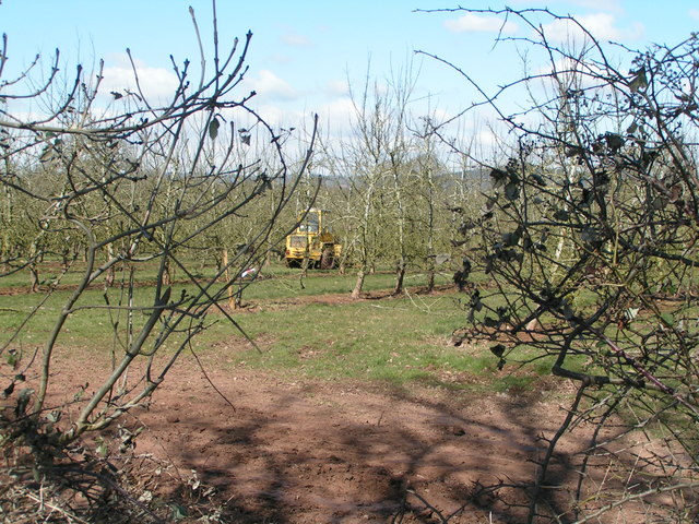
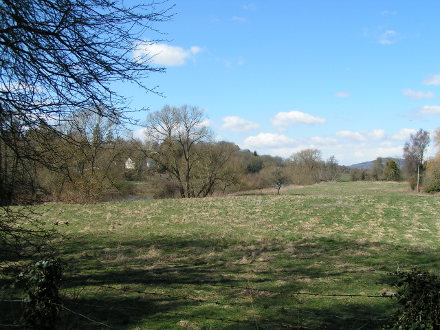
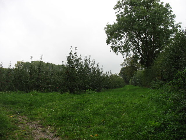
Lady's Coppice is a picturesque woodland located in Herefordshire, England. Covering an area of approximately 50 acres, this enchanting forest is nestled within the rolling countryside and offers a serene retreat for nature lovers and outdoor enthusiasts.

The wood is primarily composed of native broadleaf trees, including oak, ash, and beech, which provide a rich and diverse ecosystem for a variety of flora and fauna. The forest floor is carpeted with a tapestry of bluebells, wild garlic, and ferns, creating a vibrant and colorful display during the spring and summer months.

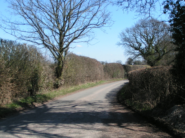
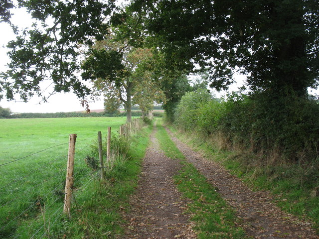
Lady's Coppice is crisscrossed by a network of well-maintained footpaths and trails, allowing visitors to explore the woodland at their own leisure. The paths wind through ancient trees and lead to hidden clearings, providing numerous opportunities for peaceful walks, picnics, and wildlife spotting.

The forest is home to a wide range of wildlife, including deer, badgers, foxes, and numerous bird species. It is a popular spot for birdwatching, with sightings of woodpeckers, owls, and warblers being common.

Lady's Coppice also holds historical significance, with evidence of Iron Age settlements and Roman activity found within its boundaries. Archaeological discoveries, such as pottery shards and ancient tools, have been unearthed in the area, adding to its cultural heritage.

With its natural beauty, diverse flora and fauna, and historical significance, Lady's Coppice is a true gem in the heart of Herefordshire. It offers a tranquil escape from the hustle and bustle of everyday life, allowing visitors to immerse themselves in the wonders of nature.

If you have any feedback on the listing, please let us know in the comments section below.

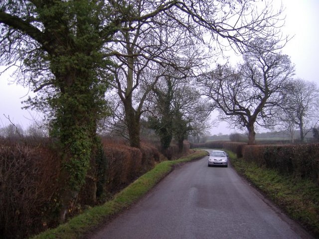
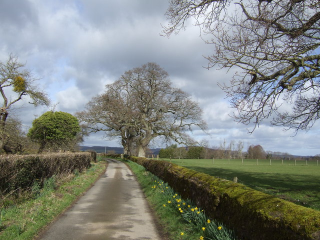
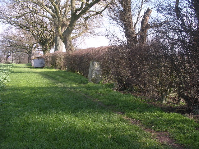
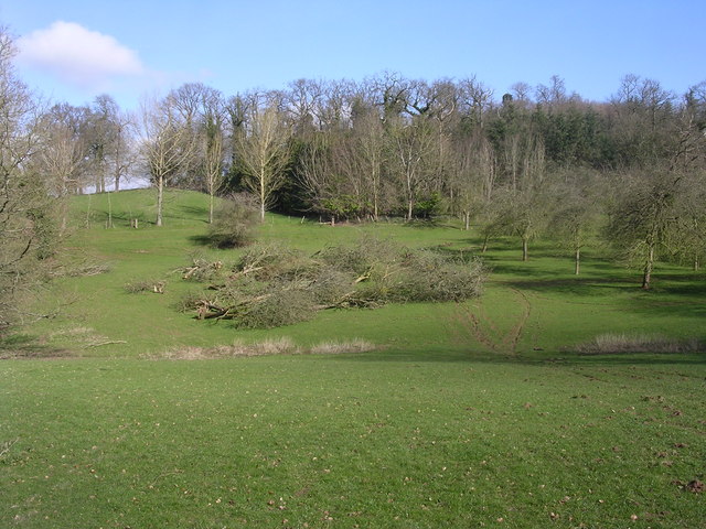
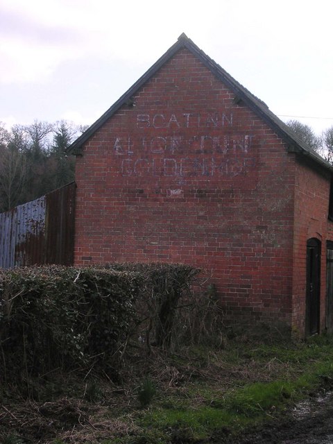
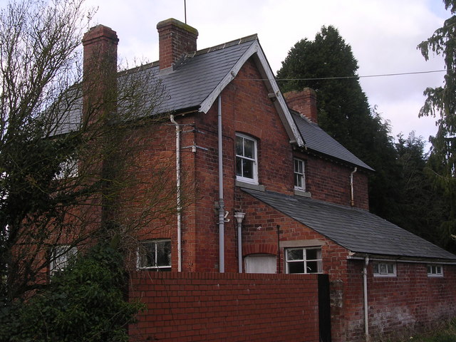
Lady's Coppice Images

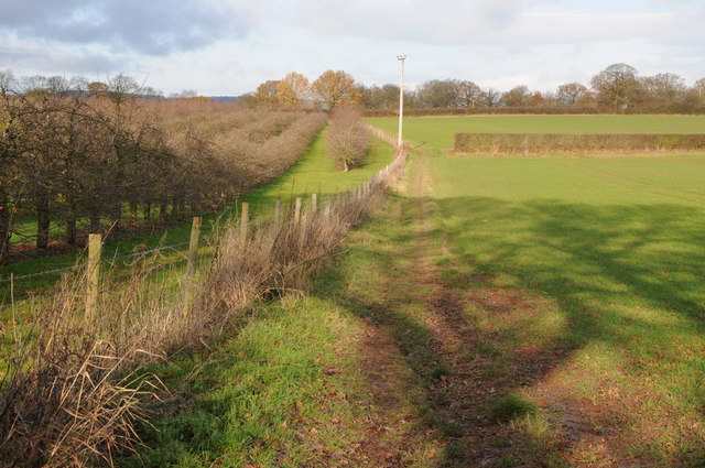
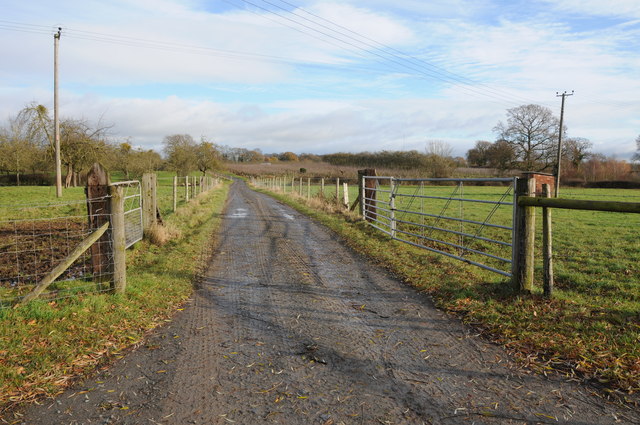
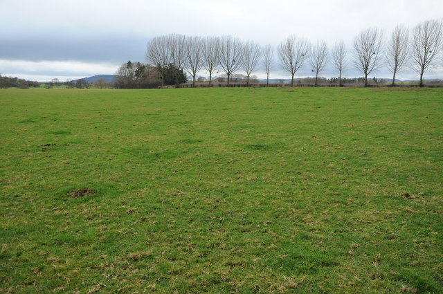
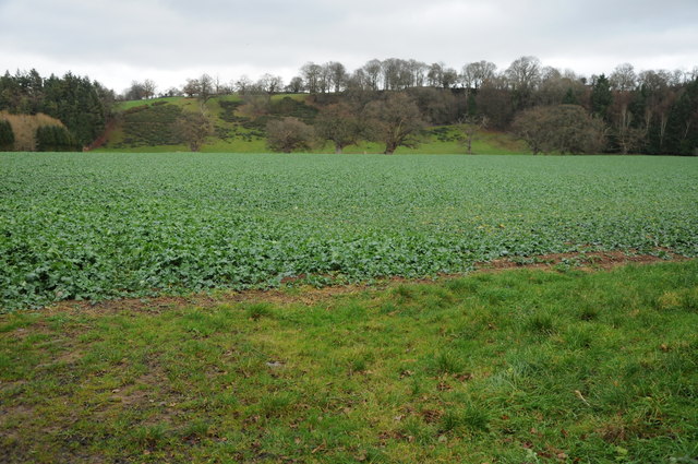
Images are sourced within 2km of 52.046629/-2.7945656 or Grid Reference SO4538. Thanks to Geograph Open Source API. All images are credited.

Farmland at Breinton A footpath follows this fence separating this field and orchard.
Farmland at Breinton
A footpath follows this fence separating this field and orchard.
Farm drive at Upper Breinton
Meadowland at Breinton The Wye Valley Walk crosses this meadowland near Breinton.
Meadowland at Breinton
The Wye Valley Walk crosses this meadowland near Breinton.
Arable land at Breinton
Working in the orchard near Upper Breinton
Lane heading east from Upper Breinton
Entering Breinton from the north
The Wye valley north of Breinton
Orchards at Sugwas Taken from the old route of the Wye Valley Walk (the new route is slightly further west).
Orchards at Sugwas
Taken from the old route of the Wye Valley Walk (the new route is slightly further west).
The Wye Valley Walk near Upper Breinton
Upper Breinton The Wye Valley Walk passes through this small village.
Upper Breinton
The Wye Valley Walk passes through this small village.
Lower Eaton House Seen from the Wye Valley Walk, the house is on the far side of the river.
Lower Eaton House
Seen from the Wye Valley Walk, the house is on the far side of the river.
The road to Upper Breinton A quiet country lane winds its way through cider orchard country.
The road to Upper Breinton
A quiet country lane winds its way through cider orchard country.
Oaks and daffodils The scenic lane near Lane Head Farm.
Oaks and daffodils
The scenic lane near Lane Head Farm.
Trig point in hedge The view from here is extensive and to the South West encompasses the Black Mountains, Black Hill and Black Darren with the escarpment of Hay Bluff. The River Wye flows just across the SW corner of this square
Trig point in hedge
The view from here is extensive and to the South West encompasses the Black Mountains, Black Hill and Black Darren with the escarpment of Hay Bluff. The River Wye flows just across the SW corner of this square
Orchard Orchard close to Sugwas Court. This is a mature orchard and some trees are being removed, hopefully on a selective rather than a wholesale basis.
Orchard
Orchard close to Sugwas Court. This is a mature orchard and some trees are being removed, hopefully on a selective rather than a wholesale basis.
Formerly, The Boat Inn Outbuildings opposite "The Boat" a Riverside pub by the Wye
Formerly, The Boat Inn
Outbuildings opposite "The Boat" a Riverside pub by the Wye
Formerly, The Boat Inn Shown as an Inn on 1940's map, appears to have been closed a number of years.
Hot and cold food offered on the wall of outbuilding opposite see <a href="https://www.geograph.org.uk/photo/358584">SO4540 : Formerly, The Boat Inn</a>.
Formerly, The Boat Inn
Shown as an Inn on 1940's map, appears to have been closed a number of years. Hot and cold food offered on the wall of outbuilding opposite see SO4540 : Formerly, The Boat Inn.
Show me another place!

Lady's Coppice is located at Grid Ref: SO4538 (Lat: 52.046629, Lng: -2.7945656)

Unitary Authority: County of Herefordshire

Police Authority: West Mercia

What 3 Words

///bombshell.reported.shielding. Near Belmont, Herefordshire

Related Wikis

Eaton Bishop

Eaton Bishop is a small village and civil parish in Herefordshire, West Midlands, England. It is located south west of Hereford and is between the villages...
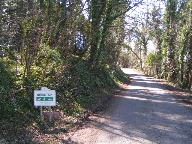
Breinton

Breinton is a civil parish in Herefordshire, England. Breinton lies just to the west of Hereford. The name Breinton appears to be a modernised form of...

Clehonger

Clehonger is a village and civil parish in Herefordshire, England, and 7 km (4.3 mi) south-west of Hereford. Clehonger is from the old English 'Clayey...

Upper Breinton

Upper Breinton is a village in Herefordshire, England. It is located in the civil parish of Breinton. == References == The geographic coordinates are from...

Nearby Amenities

Located within 500m of 52.046629,-2.7945656
Generator Method: photovoltaic
Generator Output Electricity: yes
Generator Source: solar
Generator Type: solar_photovoltaic_panel
Location: roof
Power: generator
Lat/Long: 52.0466595/-2.8009021
Information: board
Operator: National Trust
Tourism: information
Lat/Long: 52.0477847/-2.7994686
Board Type: history
Information: board
Operator: National Trust
Tourism: information
Lat/Long: 52.0495902/-2.7946191
The data included in this document is from www.openstreetmap.org. The data is made available under ODbL.

Have you been to Lady's Coppice?

Leave your review of Lady's Coppice below (or comments, questions and feedback).