Big Wood

Wood, Forest in Cumberland Eden

England

Big Wood

Ullswater Boats
Ullswater Boats Credit: Robert Struthers

Big Wood is a dense forest located in Cumberland County, England. Stretching over an expansive area of land, it is known for its abundant natural beauty and diverse flora and fauna. The forest is characterized by its towering trees and thick vegetation, providing a habitat for a variety of wildlife species.

Covering approximately 500 acres, Big Wood is a haven for nature enthusiasts, hikers, and wildlife photographers. The forest offers numerous walking trails and paths that wind through its vast expanse, allowing visitors to explore its hidden corners and discover its hidden gems. These trails are well-maintained and offer different levels of difficulty, catering to both casual walkers and seasoned hikers.

The wood is home to a rich array of plant life, including oak, beech, and ash trees, which dominate the landscape. In spring and summer, the forest is adorned with vibrant wildflowers, creating a picturesque scene. The diverse ecosystem supports a wide range of wildlife, such as deer, foxes, badgers, and a variety of bird species.

Big Wood is not only a natural sanctuary but also has historical significance. It is believed to have been used as a hunting ground by the ancient Romans and has remnants of their presence, including ancient pathways and earthworks.

With its stunning natural beauty and historical significance, Big Wood is a must-visit destination for anyone seeking tranquility and a deep connection with nature. Whether it's a leisurely stroll or an immersive exploration, this forest offers an unforgettable experience for all who venture within its boundaries.

If you have any feedback on the listing, please let us know in the comments section below.
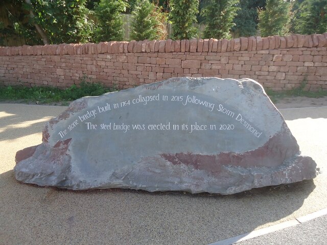
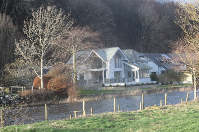
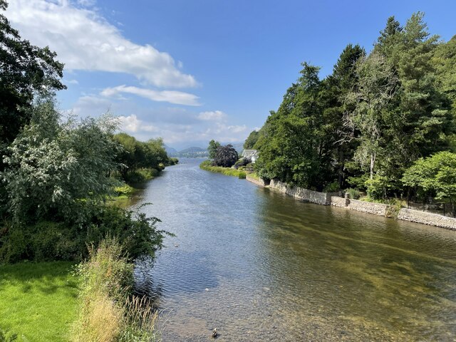
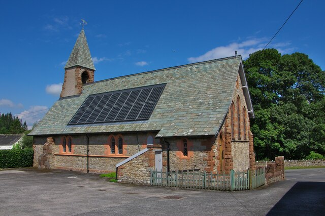
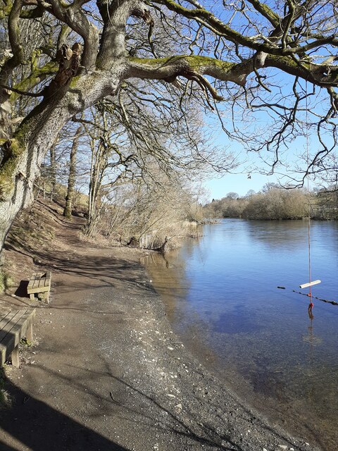
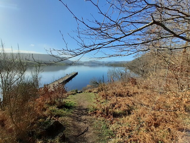
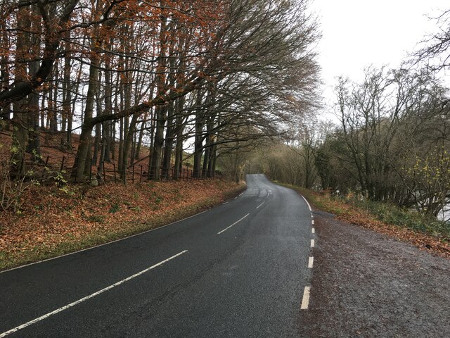
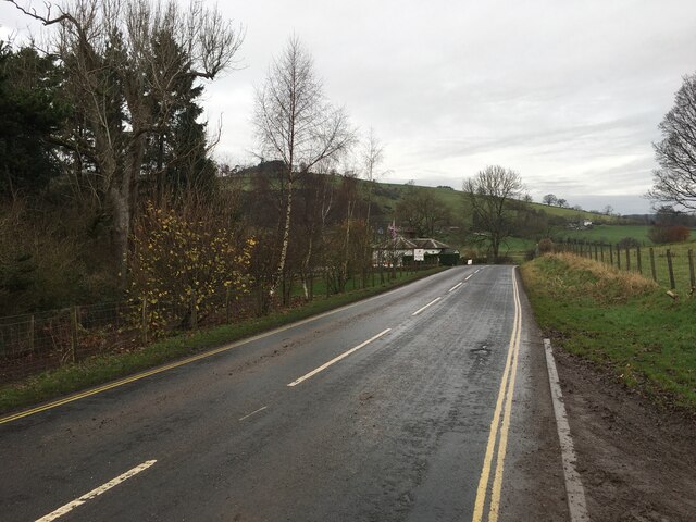
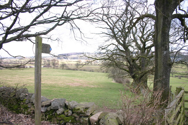
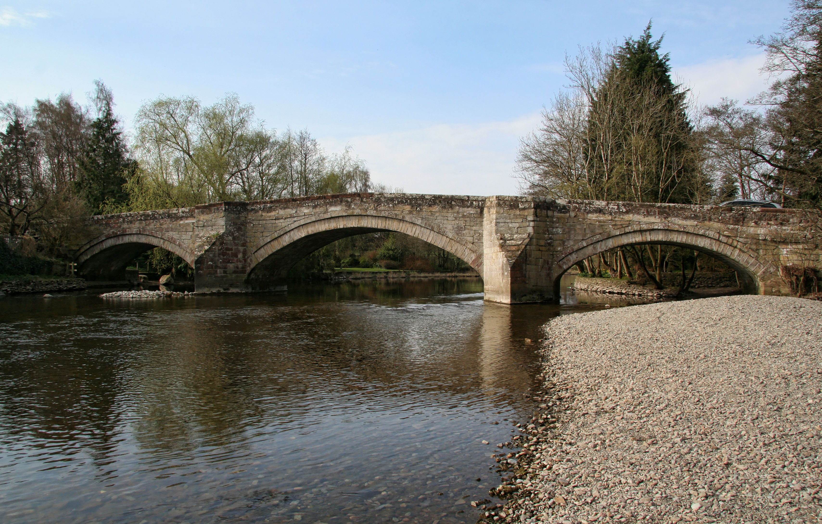
Big Wood Images

Images are sourced within 2km of 54.623369/-2.8388108 or Grid Reference NY4525. Thanks to Geograph Open Source API. All images are credited.

Ullswater Boats
Ullswater Boats
Plaque on the new Pooley Bridge
The underside of the new Pooley Bridge Looking downstream from the east (village) abutment. The restored village car park can be seen on the opposite bank.
The underside of the new Pooley Bridge
Looking downstream from the east (village) abutment. The restored village car park can be seen on the opposite bank.
OS Bench Mark OS cut bench mark from the 19th century levelling, on St Paul's Church. 495.5 feet above old datum. Weathered soft sandstone.
OS Bench Mark
OS cut bench mark from the 19th century levelling, on St Paul's Church. 495.5 feet above old datum. Weathered soft sandstone.
Landing stage at Pooley Bridge
Riverside houses. Pooley Bridge.
Riverside houses.
Pooley Bridge.
View down the river Eamont into Ullswater
St Paul's church
St Paul's church
River Eamont, Pooley Bridge Taken from the footpath alongside the river
River Eamont, Pooley Bridge
Taken from the footpath alongside the river
Landing Stage, Pooley Bridge Looking out onto Ullswater
Landing Stage, Pooley Bridge
Looking out onto Ullswater
A592 towards Penrith
On path WSW of Maiden Castle with view towards Wreay
Waterfoot Hotel Farm near Pooley Bridge
Boat house on Ullswater, W of Pooley Bridge
The new road bridge at Pooley Bridge The original bridge, erected in 1764 replaced an earlier bridge from the 16th century, collapsed on 6 December 2015 when Cumbria was hit by heavy flooding as a result of Storm Desmond. A temporary replacement bridge was opened on 20 March 2016. A new stainless steel bridge was lifted into place in May 2020, and opened in October 2020. (source wikipedia)
The new road bridge at Pooley Bridge
The original bridge, erected in 1764 replaced an earlier bridge from the 16th century, collapsed on 6 December 2015 when Cumbria was hit by heavy flooding as a result of Storm Desmond. A temporary replacement bridge was opened on 20 March 2016. A new stainless steel bridge was lifted into place in May 2020, and opened in October 2020. (source wikipedia)
River Eamont at Pooley Bridge Viewed in rain. The bridge is Pooley Bridge and has given its name to the village, but this new version of the bridge dates only from 2020.
River Eamont at Pooley Bridge
Viewed in rain. The bridge is Pooley Bridge and has given its name to the village, but this new version of the bridge dates only from 2020.
River Eamont at Pooley Bridge Looking downstream away from the village, during rain.
River Eamont at Pooley Bridge
Looking downstream away from the village, during rain.
Show me another place!

Big Wood is located at Grid Ref: NY4525 (Lat: 54.623369, Lng: -2.8388108)

Administrative County: Cumbria

District: Eden

Police Authority: Cumbria

What 3 Words

///tribes.pillow.intention. Near Penrith, Cumbria

Related Wikis

Nearby Amenities

Located within 500m of 54.623369,-2.8388108
Big Wood
Natural: wood
Lat/Long: 54.6232743/-2.8409712
Lodge Wood
Natural: wood
Lat/Long: 54.6250792/-2.8360869
Near Belt
Place: locality
Lat/Long: 54.6213369/-2.8424677
Fixme: Line continues ~S?
Power: pole
Transformer: distribution
Lat/Long: 54.6267654/-2.8348267
Near Belt Hill
Ele: 284
Natural: peak
Lat/Long: 54.6210844/-2.8410074
Power: pole
Lat/Long: 54.6255826/-2.8343447
Power: pole
Lat/Long: 54.6262039/-2.835002
The data included in this document is from www.openstreetmap.org. The data is made available under ODbL.

Have you been to Big Wood?

Leave your review of Big Wood below (or comments, questions and feedback).