Near Belt

Wood, Forest in Cumberland Eden

England

Near Belt

Ullswater Boats
Ullswater Boats Credit: Robert Struthers

Near Belt, Cumberland (Wood, Forest) is a small neighborhood located in Cumberland County, in the state of Maine, United States. Situated near the town of Cumberland, this community is known for its tranquil and natural surroundings.

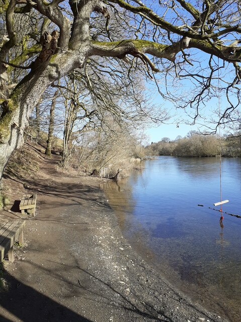
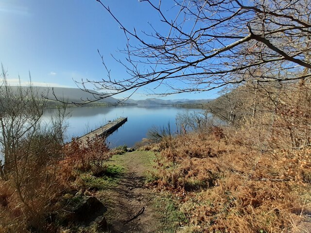
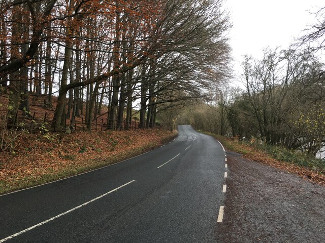
The primary feature of Near Belt is its dense forest, which covers a significant portion of the area. This forest is predominantly composed of various species of trees, including pine, oak, and maple, creating a picturesque landscape that appeals to nature enthusiasts and outdoor lovers. The forest is home to several wildlife species, such as deer, squirrels, and various bird species, making it an ideal spot for birdwatching and wildlife observation.

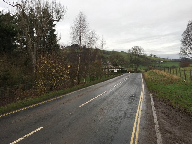
The neighborhood of Near Belt consists of a mix of residential and vacation properties, with a relatively small population. The residents of this area enjoy the benefits of living in a peaceful and secluded environment while still having easy access to the amenities and services offered by the nearby town of Cumberland.

Outdoor activities are popular in Near Belt, with residents and visitors taking advantage of the surrounding forest for hiking, biking, and nature walks. The neighborhood is also close to several parks and recreational areas, further enhancing the opportunities for outdoor recreation.

Near Belt, Cumberland (Wood, Forest) offers a unique combination of natural beauty, tranquility, and convenience. It provides residents and visitors with a chance to experience the serenity of living in a forested area while still being within reach of urban amenities.

If you have any feedback on the listing, please let us know in the comments section below.
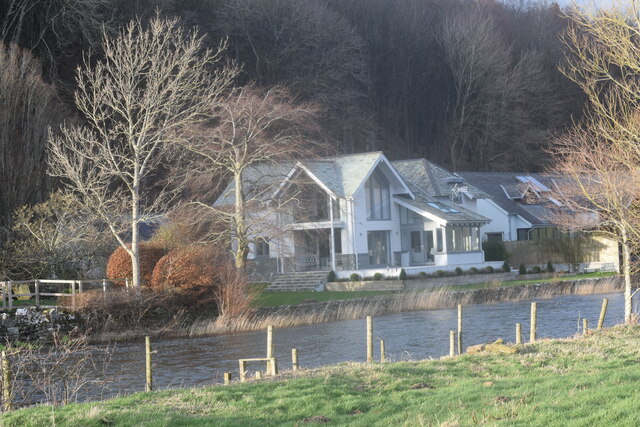
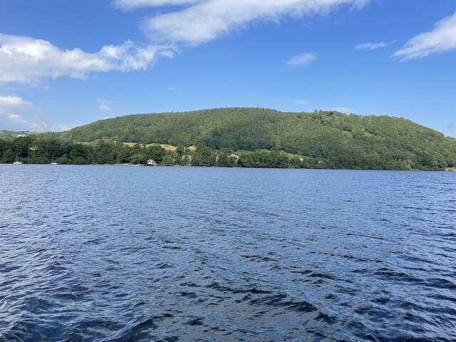
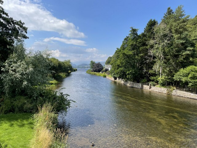
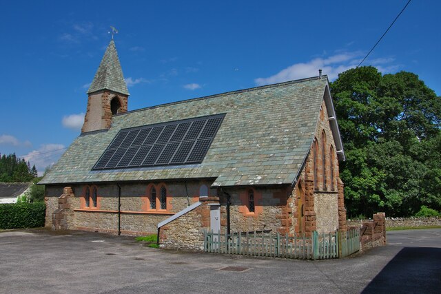
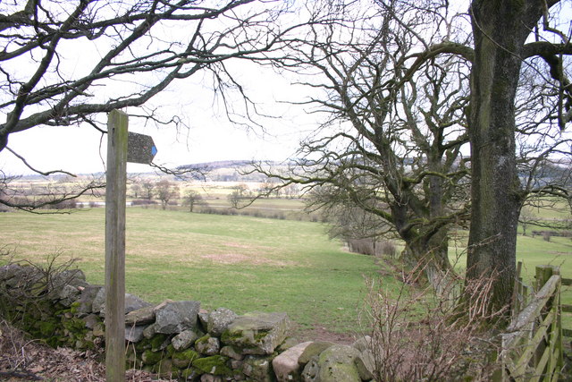
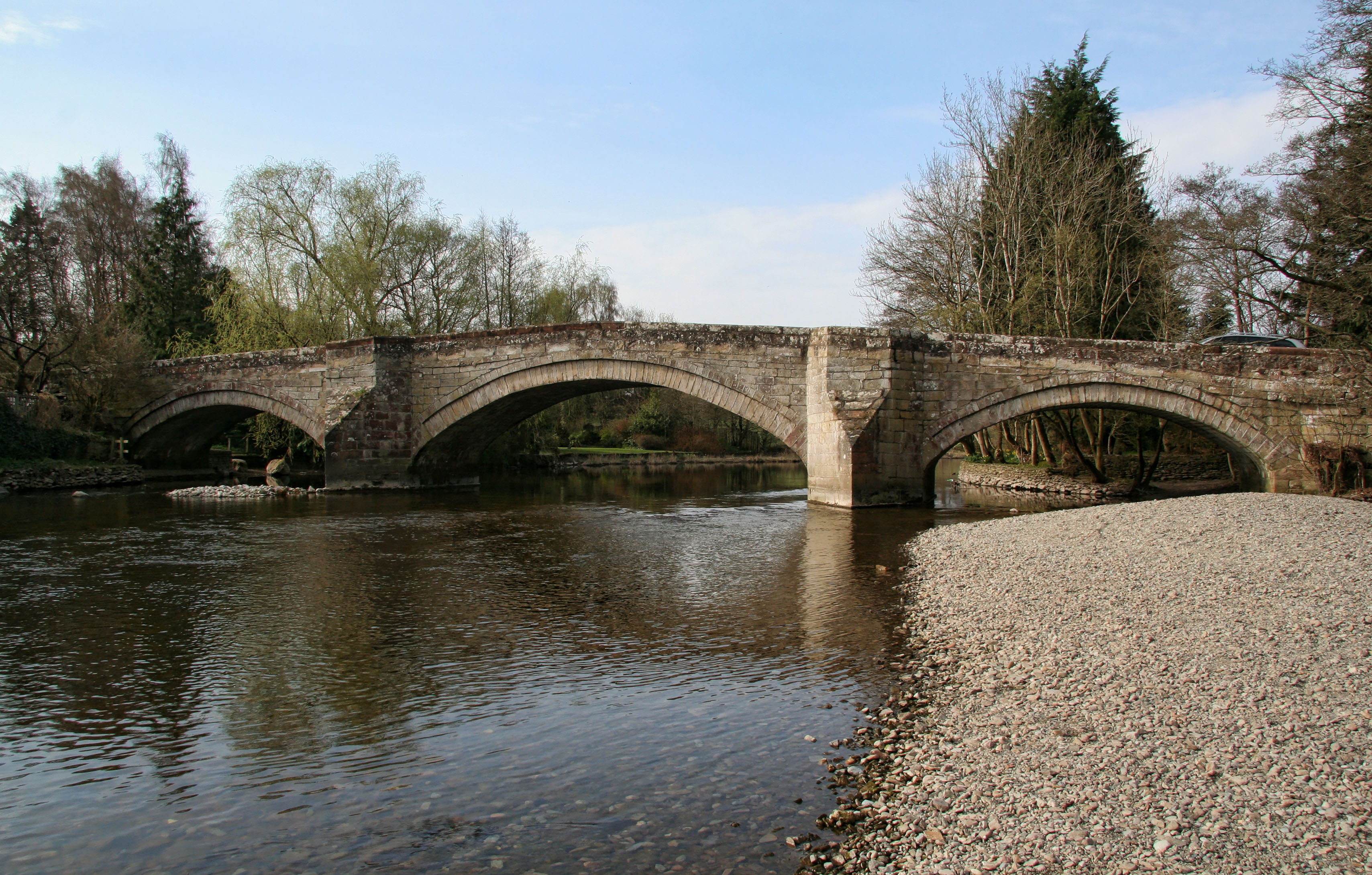
Near Belt Images

Images are sourced within 2km of 54.621245/-2.8418336 or Grid Reference NY4525. Thanks to Geograph Open Source API. All images are credited.

Ullswater Boats
Ullswater Boats
Plaque on the new Pooley Bridge
The underside of the new Pooley Bridge Looking downstream from the east (village) abutment. The restored village car park can be seen on the opposite bank.
The underside of the new Pooley Bridge
Looking downstream from the east (village) abutment. The restored village car park can be seen on the opposite bank.
OS Bench Mark OS cut bench mark from the 19th century levelling, on St Paul's Church. 495.5 feet above old datum. Weathered soft sandstone.
OS Bench Mark
OS cut bench mark from the 19th century levelling, on St Paul's Church. 495.5 feet above old datum. Weathered soft sandstone.
Landing stage at Pooley Bridge
Riverside houses. Pooley Bridge.
Riverside houses.
Pooley Bridge.
Ullswater shoreline. A short walk from Pooley Bridge.
Ullswater shoreline.
A short walk from Pooley Bridge.
Lakeside trees with Rumney's Plantation beyond
View down the river Eamont into Ullswater
St Paul's church
St Paul's church
River Eamont, Pooley Bridge Taken from the footpath alongside the river
River Eamont, Pooley Bridge
Taken from the footpath alongside the river
Landing Stage, Pooley Bridge Looking out onto Ullswater
Landing Stage, Pooley Bridge
Looking out onto Ullswater
A592 towards Penrith
On path WSW of Maiden Castle with view towards Wreay
Waterfoot Hotel Farm near Pooley Bridge
Boat house on Ullswater, W of Pooley Bridge
The new road bridge at Pooley Bridge The original bridge, erected in 1764 replaced an earlier bridge from the 16th century, collapsed on 6 December 2015 when Cumbria was hit by heavy flooding as a result of Storm Desmond. A temporary replacement bridge was opened on 20 March 2016. A new stainless steel bridge was lifted into place in May 2020, and opened in October 2020. (source wikipedia)
The new road bridge at Pooley Bridge
The original bridge, erected in 1764 replaced an earlier bridge from the 16th century, collapsed on 6 December 2015 when Cumbria was hit by heavy flooding as a result of Storm Desmond. A temporary replacement bridge was opened on 20 March 2016. A new stainless steel bridge was lifted into place in May 2020, and opened in October 2020. (source wikipedia)
Show me another place!

Near Belt is located at Grid Ref: NY4525 (Lat: 54.621245, Lng: -2.8418336)

Administrative County: Cumbria

District: Eden

Police Authority: Cumbria

What 3 Words

///guesswork.eventful.snipped. Near Penrith, Cumbria

Related Wikis

Nearby Amenities

Located within 500m of 54.621245,-2.8418336
Big Wood
Natural: wood
Lat/Long: 54.6232743/-2.8409712
Near Belt
Place: locality
Lat/Long: 54.6213369/-2.8424677
Near Belt Hill
Ele: 284
Natural: peak
Lat/Long: 54.6210844/-2.8410074
Power: pole
Lat/Long: 54.6171389/-2.839219
Power: pole
Lat/Long: 54.6173056/-2.8407226
Power: pole
Lat/Long: 54.6176921/-2.842171
Power: pole
Lat/Long: 54.6180811/-2.8436513
The data included in this document is from www.openstreetmap.org. The data is made available under ODbL.

Have you been to Near Belt?

Leave your review of Near Belt below (or comments, questions and feedback).