Soulby Fell

Downs, Moorland in Cumberland Eden

England

Soulby Fell

Ullswater Boats
Ullswater Boats Credit: Robert Struthers

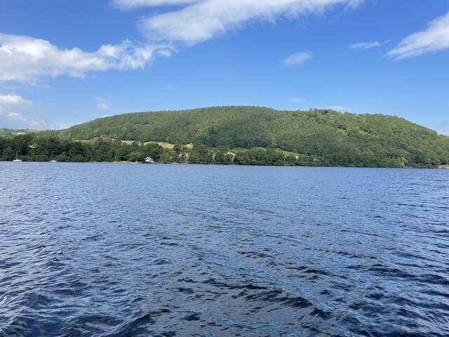
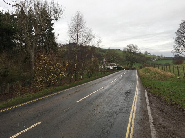
Soulby Fell is a picturesque area located in Cumberland, England. Situated in the northern part of the county, it is known for its breathtaking landscapes of downs and moorland. Covering an extensive area, Soulby Fell offers a diverse range of natural features and habitats.

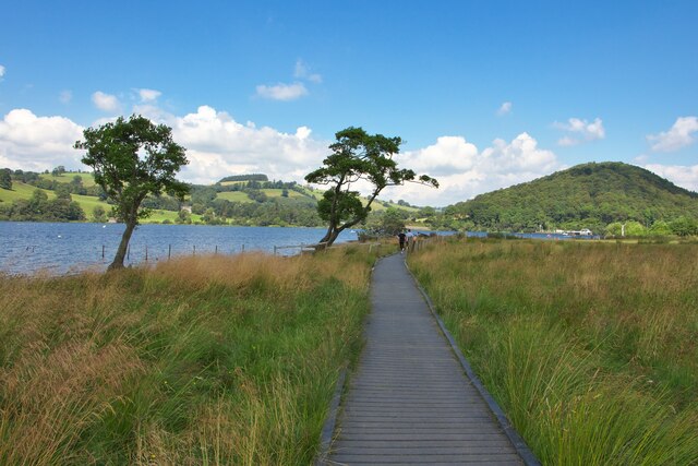
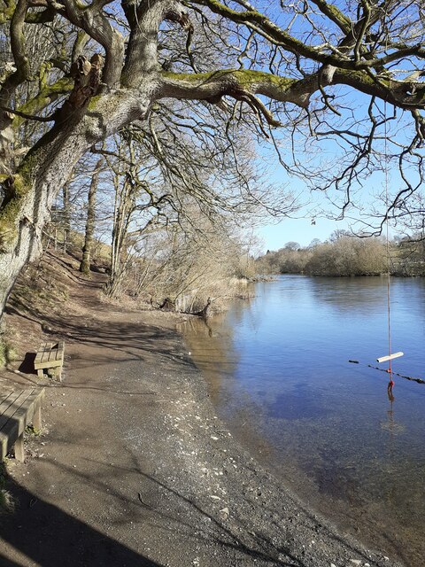
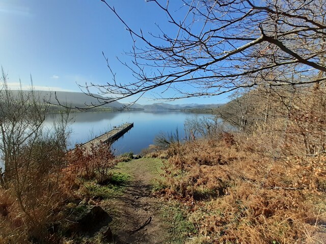
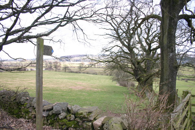
The downs of Soulby Fell are characterized by gently rolling hills and expansive grasslands. These open spaces provide a haven for various bird species, making it a popular destination for birdwatchers. The moorland, on the other hand, offers a more rugged terrain with heather-covered hillsides and scattered rocky outcrops. This unique environment supports a wide array of flora and fauna, including rare species such as the black grouse and the curlew.

Aside from its natural beauty, Soulby Fell also boasts a rich history. Remnants of ancient settlements, including stone circles and burial mounds, can be found scattered across the area. These archaeological sites provide valuable insights into the region's past and attract history enthusiasts from far and wide.

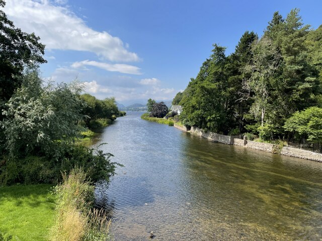
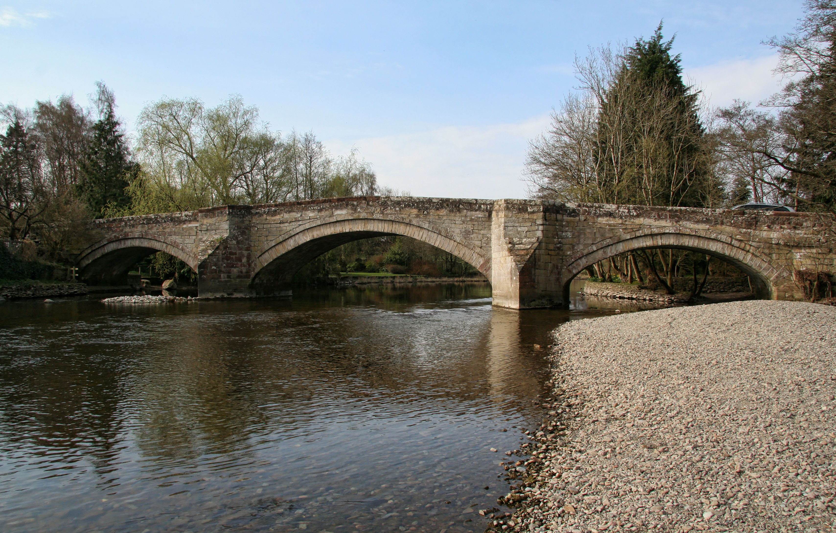
Soulby Fell is a haven for outdoor enthusiasts, offering ample opportunities for hiking, cycling, and wildlife spotting. Several well-marked trails traverse the area, allowing visitors to explore its beauty at their own pace. In addition, the numerous streams and rivers that flow through Soulby Fell provide excellent fishing spots for those seeking a tranquil angling experience.

Overall, Soulby Fell in Cumberland is a captivating destination that offers a blend of natural beauty, rich history, and outdoor activities. Its downs and moorland provide a diverse and enchanting landscape that is sure to leave a lasting impression on all who visit.

If you have any feedback on the listing, please let us know in the comments section below.

Soulby Fell Images

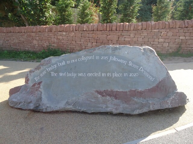
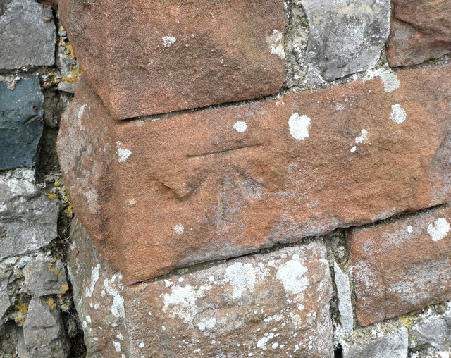
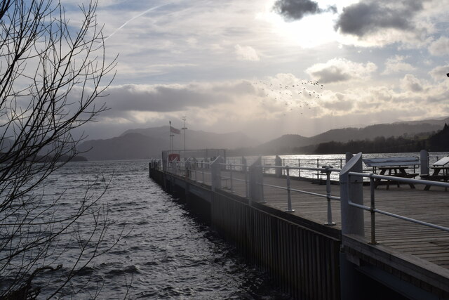
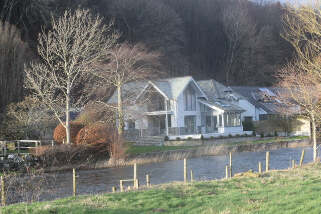
Images are sourced within 2km of 54.617586/-2.8471471 or Grid Reference NY4525. Thanks to Geograph Open Source API. All images are credited.

Ullswater Boats
Ullswater Boats
Plaque on the new Pooley Bridge
The underside of the new Pooley Bridge Looking downstream from the east (village) abutment. The restored village car park can be seen on the opposite bank.
The underside of the new Pooley Bridge
Looking downstream from the east (village) abutment. The restored village car park can be seen on the opposite bank.
OS Bench Mark OS cut bench mark from the 19th century levelling, on St Paul's Church. 495.5 feet above old datum. Weathered soft sandstone.
OS Bench Mark
OS cut bench mark from the 19th century levelling, on St Paul's Church. 495.5 feet above old datum. Weathered soft sandstone.
Landing stage at Pooley Bridge
Riverside houses. Pooley Bridge.
Riverside houses.
Pooley Bridge.
Ullswater shoreline. A short walk from Pooley Bridge.
Ullswater shoreline.
A short walk from Pooley Bridge.
Lakeside trees with Rumney's Plantation beyond
View down the river Eamont into Ullswater
St Paul's church
St Paul's church
Boardwalk by Gale Bay
River Eamont, Pooley Bridge Taken from the footpath alongside the river
River Eamont, Pooley Bridge
Taken from the footpath alongside the river
Landing Stage, Pooley Bridge Looking out onto Ullswater
Landing Stage, Pooley Bridge
Looking out onto Ullswater
A592 towards Penrith
On path WSW of Maiden Castle with view towards Wreay
Waterfoot Hotel Farm near Pooley Bridge
Boat house on Ullswater, W of Pooley Bridge
The new road bridge at Pooley Bridge The original bridge, erected in 1764 replaced an earlier bridge from the 16th century, collapsed on 6 December 2015 when Cumbria was hit by heavy flooding as a result of Storm Desmond. A temporary replacement bridge was opened on 20 March 2016. A new stainless steel bridge was lifted into place in May 2020, and opened in October 2020. (source wikipedia)
The new road bridge at Pooley Bridge
The original bridge, erected in 1764 replaced an earlier bridge from the 16th century, collapsed on 6 December 2015 when Cumbria was hit by heavy flooding as a result of Storm Desmond. A temporary replacement bridge was opened on 20 March 2016. A new stainless steel bridge was lifted into place in May 2020, and opened in October 2020. (source wikipedia)
Show me another place!

Soulby Fell is located at Grid Ref: NY4525 (Lat: 54.617586, Lng: -2.8471471)

Administrative County: Cumbria

District: Eden

Police Authority: Cumbria

What 3 Words

///stooping.moved.waffle. Near Penrith, Cumbria

Related Wikis

Nearby Amenities

Located within 500m of 54.617586,-2.8471471
Power: pole
Lat/Long: 54.6173056/-2.8407226
Power: pole
Lat/Long: 54.6176921/-2.842171
Power: pole
Lat/Long: 54.6180811/-2.8436513
The data included in this document is from www.openstreetmap.org. The data is made available under ODbL.

Have you been to Soulby Fell?

Leave your review of Soulby Fell below (or comments, questions and feedback).