Hunley Moss

Downs, Moorland in Cumberland Carlisle

England

Hunley Moss

Skitby Road, Smithfield Looking north-eastward.
Skitby Road, Smithfield Credit: Peter Wood

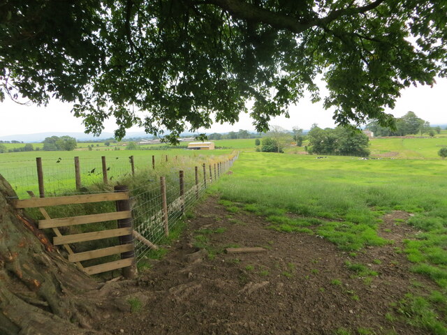
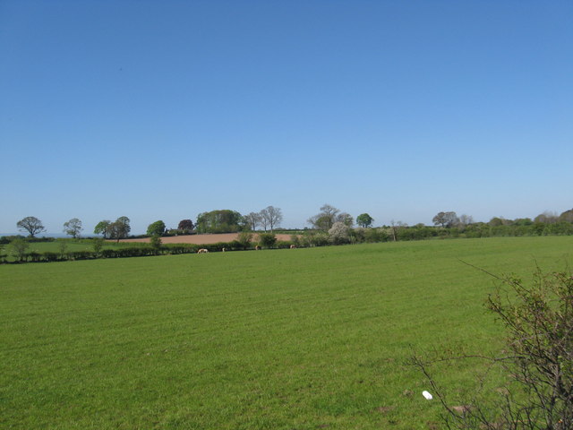
Hunley Moss is a sprawling and picturesque nature reserve located in the county of Cumberland, England. Situated on the Downs, it encompasses vast stretches of moorland, making it a haven for outdoor enthusiasts and nature lovers alike.

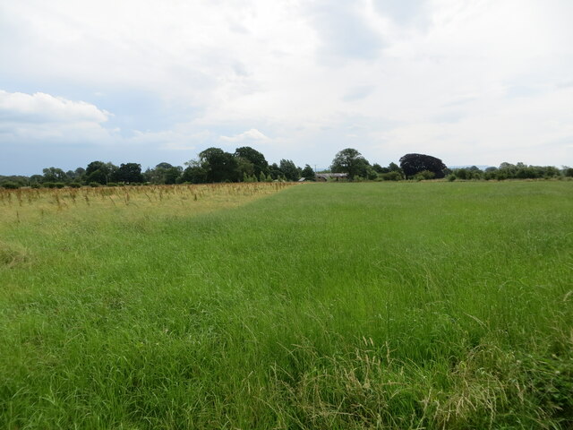
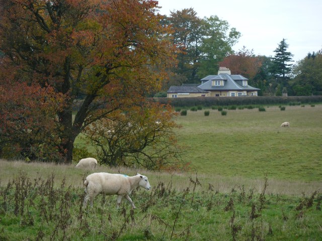
Covering an area of approximately 500 acres, Hunley Moss is renowned for its diverse range of flora and fauna. The moorland is characterized by a mosaic of heather, grasses, and wildflowers, creating a vibrant and colorful landscape that changes with the seasons. It is home to a variety of bird species, including skylarks, curlews, and lapwings, which can be observed soaring overhead or nesting in the tall grasses.

The reserve is also known for its unique geological features. Hunley Moss boasts several peat bogs, formed over thousands of years, which are of great scientific interest. These bogs provide a valuable habitat for a range of specialized plant species, such as sphagnum moss and insect-eating sundew.

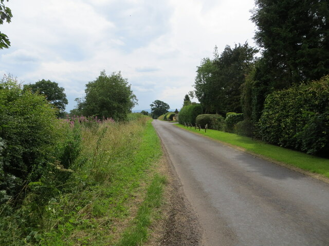
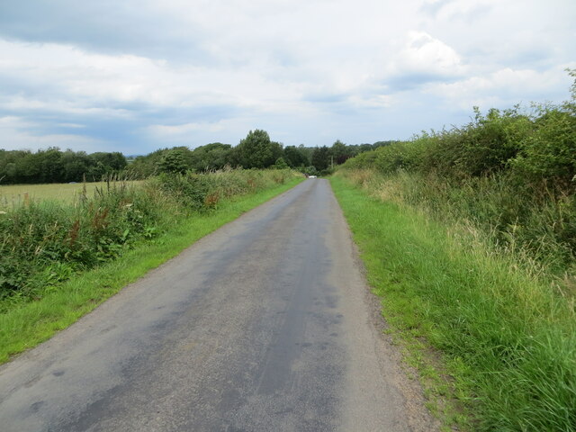
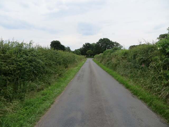
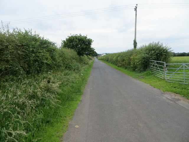
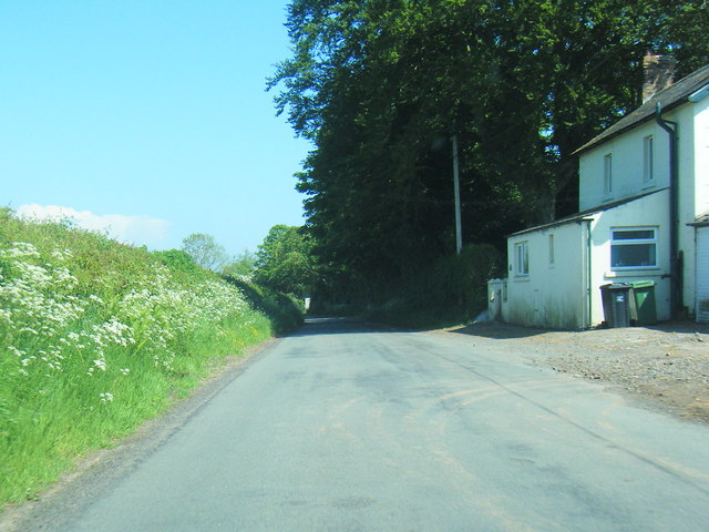
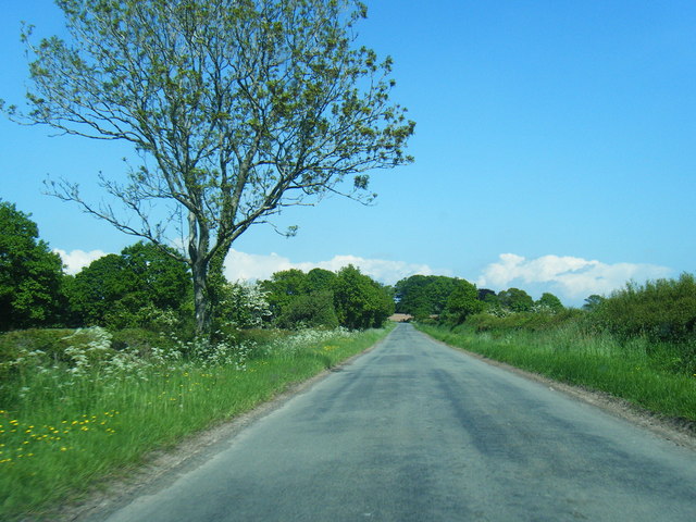
Visitors to Hunley Moss can explore the reserve via a network of well-maintained hiking trails, which offer breathtaking views of the surrounding countryside. The area is also popular with birdwatchers, who flock to the reserve to catch a glimpse of the rare and elusive species that call it home.

In summary, Hunley Moss is a stunning nature reserve in Cumberland, offering an abundance of natural beauty and wildlife. Whether you are seeking a peaceful walk, an opportunity to spot unique bird species, or a chance to explore the fascinating peat bogs, Hunley Moss is a must-visit destination for nature enthusiasts and those looking to connect with the great outdoors.

If you have any feedback on the listing, please let us know in the comments section below.
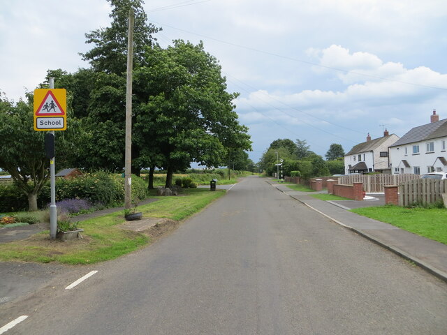
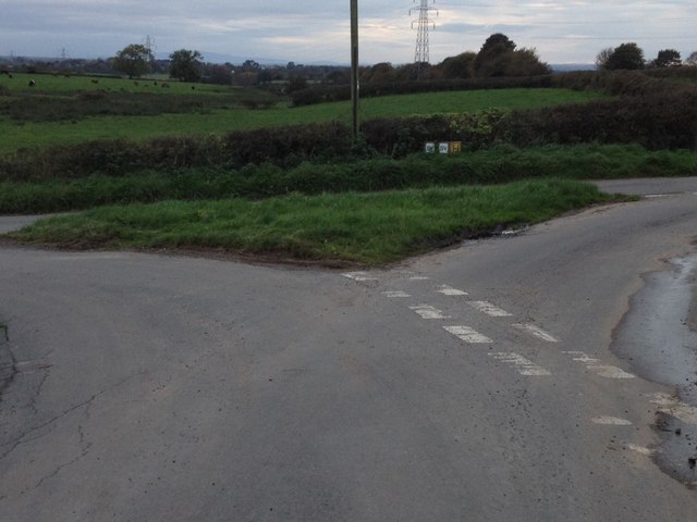
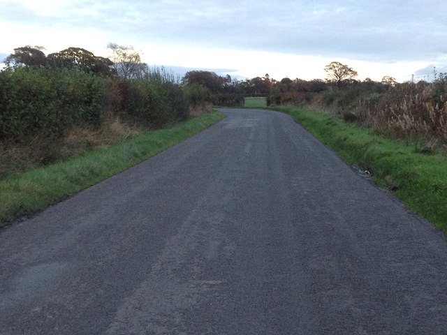
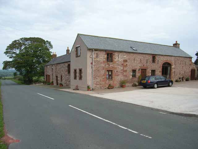
Hunley Moss Images

Images are sourced within 2km of 54.977268/-2.854408 or Grid Reference NY4565. Thanks to Geograph Open Source API. All images are credited.

Skitby Road, Smithfield Looking north-eastward.
Skitby Road, Smithfield
Looking north-eastward.
Hay field near to Rigghead Looking south-eastward in the direction of Sikeside
Hay field near to Rigghead
Looking south-eastward in the direction of Sikeside
Minor road at the entrance to Kirklinton Park Looking south-eastward.
Minor road at the entrance to Kirklinton Park
Looking south-eastward.
Hedge-lined minor road between Horsegills and Hallfoot Looking northward.
Hedge-lined minor road between Horsegills and Hallfoot
Looking northward.
Field edge footpath to Highberries Looking south-eastward.
Field edge footpath to Highberries
Looking south-eastward.
Hedge enclosed minor road approaching Hallflat Lane End Looking southward towards the A6071 road
Hedge enclosed minor road approaching Hallflat Lane End
Looking southward towards the A6071 road
Hedge enclosed minor road approaching Whitehill Farm Looking south-westward.
Hedge enclosed minor road approaching Whitehill Farm
Looking south-westward.
Minor road at Dykeside Looking south-eastward.
Minor road at Dykeside
Looking south-eastward.
Cheep nest boxes for sale This amusing sign was outside a house on the north side of the A6071 at Smithfield. When I stopped to take a photo the house owner came out for a friendly chat. He makes the boxes and sells them for charity. I would have bought one but my garden is well stocked with bird boxes.
Cheep nest boxes for sale
This amusing sign was outside a house on the north side of the A6071 at Smithfield. When I stopped to take a photo the house owner came out for a friendly chat. He makes the boxes and sells them for charity. I would have bought one but my garden is well stocked with bird boxes.
Smithfield: pre-Worboys road sign An old-fashioned signpost pre-dating the modern signage which sprang from the Worboys report of 1964, this sign warns of a crossroads ahead, unseen because of the left bend immediately ahead of us, before the junction.

The faded + symbol denopting crossroads can be discerned more clearly than the wording "CROSS ROADS" which is even more faded in the rectangle below the cross.
Smithfield: pre-Worboys road sign
An old-fashioned signpost pre-dating the modern signage which sprang from the Worboys report of 1964, this sign warns of a crossroads ahead, unseen because of the left bend immediately ahead of us, before the junction. The faded + symbol denopting crossroads can be discerned more clearly than the wording "CROSS ROADS" which is even more faded in the rectangle below the cross.
Kirklinton Park Lodge This beautiful house is on the Heatherbank to Uppertown Road.
Kirklinton Park Lodge
This beautiful house is on the Heatherbank to Uppertown Road.
Looking back to Smithfield in Cumbria The charming village sits on the A6071, Longtown to Brampton road.
Looking back to Smithfield in Cumbria
The charming village sits on the A6071, Longtown to Brampton road.
Pasture lands between Freelands and Highberries In Cumbria.
Pasture lands between Freelands and Highberries
In Cumbria.
Lane looking east at Fordsyke
Lane east of Fordsyke
Halifax Lane End junction with the A6071
Road junction near Horsegills
Minor road near Smithfield
Show me another place!

Hunley Moss is located at Grid Ref: NY4565 (Lat: 54.977268, Lng: -2.854408)

Administrative County: Cumbria

District: Carlisle

Police Authority: Cumbria

What 3 Words

///swear.desiring.splendid. Near Longtown, Cumbria

Nearby Locations

Hunley Moss

Related Wikis

Skitby

Skitby is a hamlet in the English county of Cumbria. Skitby lies northeast of the village of Smithfield. == External links == Map sources for Skitby

Smithfield, Cumbria

Smithfield is a village located in the parish of Kirklinton Middle approximately 8 miles north of Carlisle in Cumbria, United Kingdom, and has a population...

Scaleby

Scaleby is a village and civil parish in the English county of Cumbria. It is bounded on the north by Kirklinton and Irthington; whilst to the south lie...

Kirklinton

Kirklinton is a village in the Carlisle district, in the English county of Cumbria. The population of the civil parish of Kirklinton Middle, taken at the...

Kirklinton Middle

Kirklinton Middle is a civil parish in City of Carlisle district, Cumbria, England. At the 2011 census it had a population of 384.The parish is bordered...

Scaleby Castle

Scaleby Castle is in the village of Scaleby, Cumbria, England. The castle was originally built in the early 14th century, and extended in the 15th century...

Boltonfellend

Boltonfellend is a village in Cumbria, England. == External links == Media related to Boltonfellend at Wikimedia Commons

Hethersgill

Hethersgill is a village and a civil parish in the Carlisle district, in the county of Cumbria, England. Hethersgill has a church called St Mary's Church...

Nearby Amenities

Located within 500m of 54.977268,-2.854408
Information: guidepost
Tourism: information
Lat/Long: 54.9744609/-2.8545462
Power: tower
Lat/Long: 54.9798327/-2.8576642
Power: tower
Lat/Long: 54.9807969/-2.8532188
Keeper's Cottage
Internet Access: wlan
Internet Access Fee: customers
Tourism: chalet
Website: https://www.keeperscottage.holiday
Lat/Long: 54.9779451/-2.858122
Power: pole
Lat/Long: 54.975224/-2.8556315
Power: pole
Lat/Long: 54.9753401/-2.8544862
Power: pole
Lat/Long: 54.9754664/-2.8532401
Power: pole
Lat/Long: 54.9756019/-2.8518162
Power: pole
Lat/Long: 54.9759331/-2.8499732
Power: pole
Lat/Long: 54.9762949/-2.8478818
Power: pole
Lat/Long: 54.9767881/-2.8595606
Power: pole
Lat/Long: 54.9771008/-2.8578875
Power: pole
Lat/Long: 54.9773084/-2.8568708
Power: pole
Lat/Long: 54.9779737/-2.8576668
Power: pole
Lat/Long: 54.9764155/-2.8613775
Power: pole
Lat/Long: 54.9763553/-2.8616296
Power: pole
Lat/Long: 54.9767374/-2.8561588
Power: pole
Lat/Long: 54.9760846/-2.8553697
Power: pole
Lat/Long: 54.9746435/-2.8556628
Power: pole
Lat/Long: 54.9742521/-2.8551505
Power: pole
Lat/Long: 54.9740135/-2.8548202
Power: pole
Lat/Long: 54.9739053/-2.8547135
The data included in this document is from www.openstreetmap.org. The data is made available under ODbL.

Have you been to Hunley Moss?

Leave your review of Hunley Moss below (or comments, questions and feedback).