Meigle Moss

Downs, Moorland in Selkirkshire

Scotland

Meigle Moss

Clovenfords from the air Located 4 miles west of Galashiels at the crossroads of the A72 and B710 roads. Seen here from an Edinburgh bound flight from Prague.
Clovenfords from the air Credit: Thomas Nugent

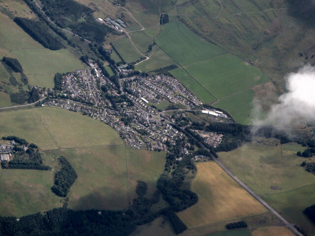
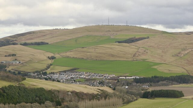
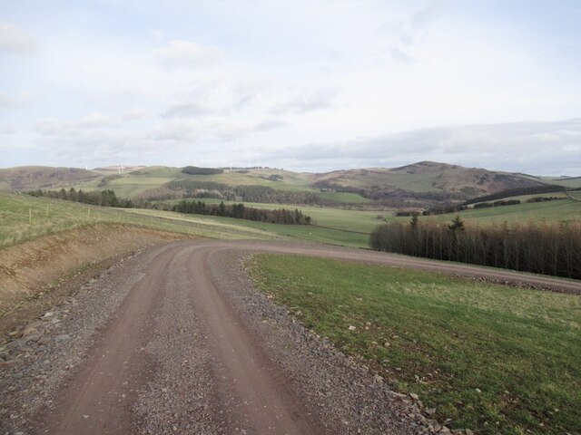
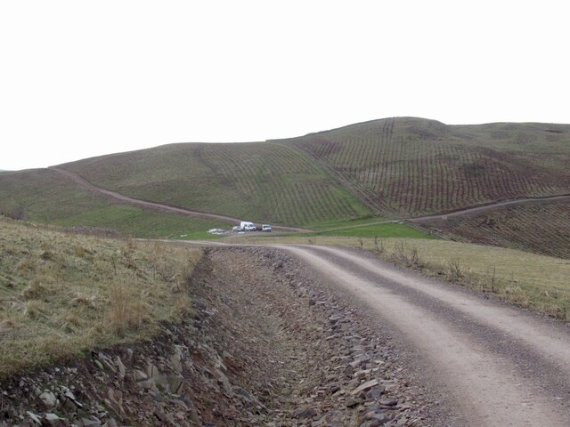
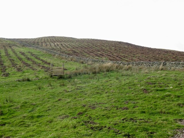
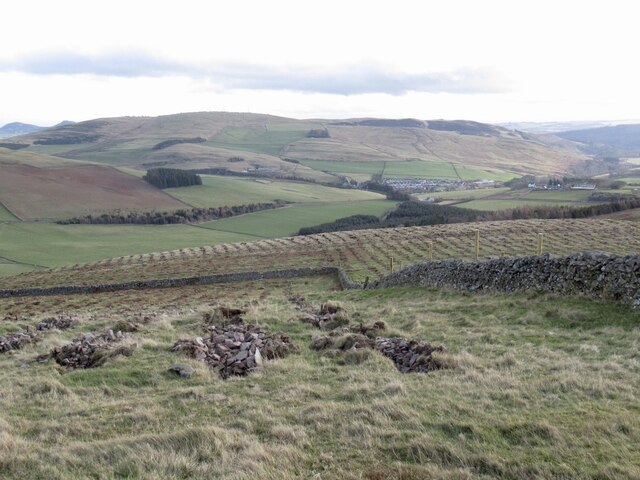
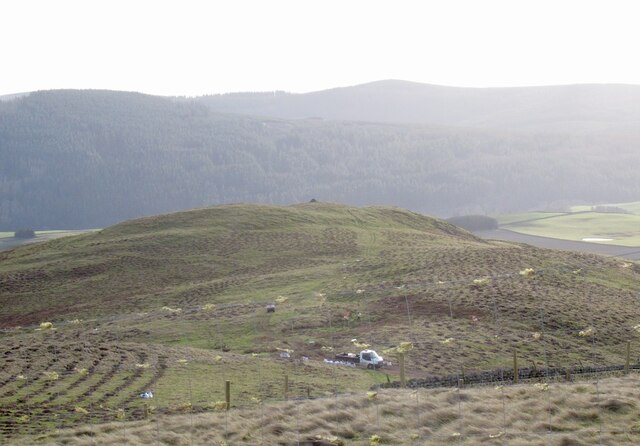
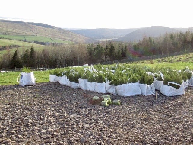
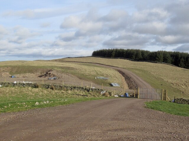
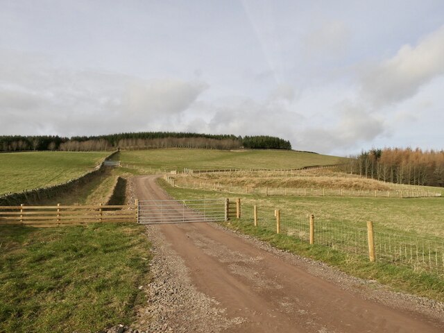
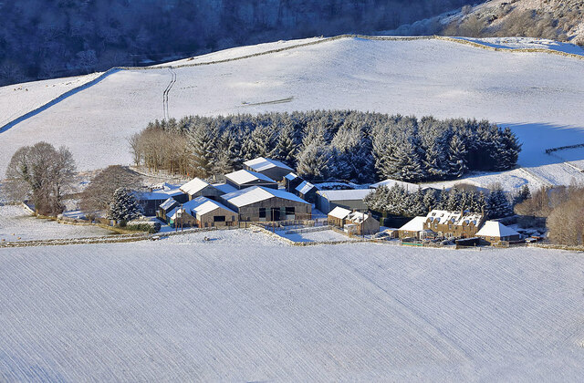
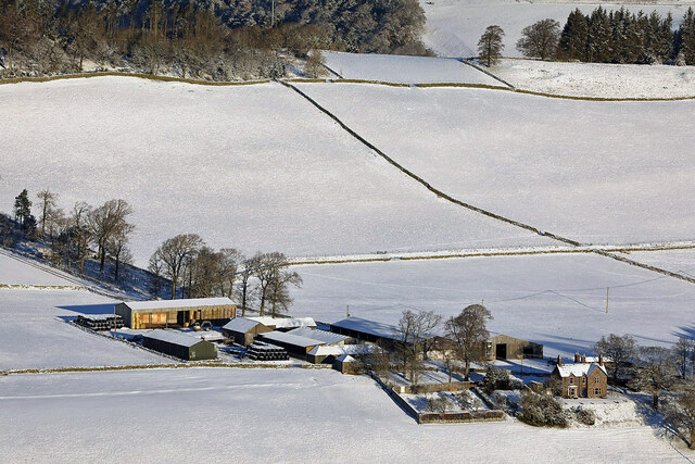
Meigle Moss is a vast expanse of downs and moorland located in Selkirkshire, Scotland. The area is characterized by its rolling hills, heather-covered slopes, and peat bogs, creating a rugged and wild landscape. Meigle Moss is known for its unique biodiversity, with a variety of plant and animal species thriving in its diverse habitats.

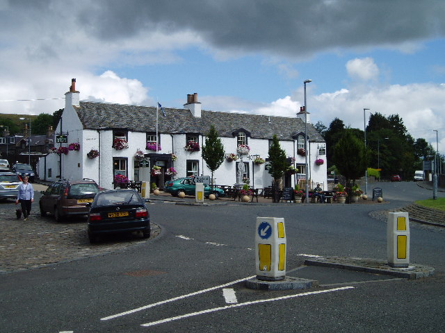
The area is popular among hikers and nature enthusiasts, who come to explore the miles of walking trails that wind through the moorland. The terrain can be challenging at times, with uneven ground and boggy areas, but the stunning views of the surrounding countryside make it worth the effort.

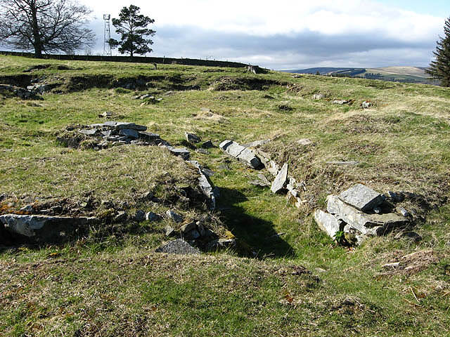
Meigle Moss is also home to a number of archaeological sites, including ancient burial mounds and stone circles, which provide a glimpse into the area's rich history. The moss is a designated Site of Special Scientific Interest (SSSI), highlighting its importance for conservation and protection of its unique natural features.

Overall, Meigle Moss offers visitors a chance to immerse themselves in the untamed beauty of the Scottish countryside, with its rugged terrain and diverse wildlife making it a truly special place to explore.

If you have any feedback on the listing, please let us know in the comments section below.
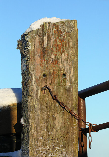
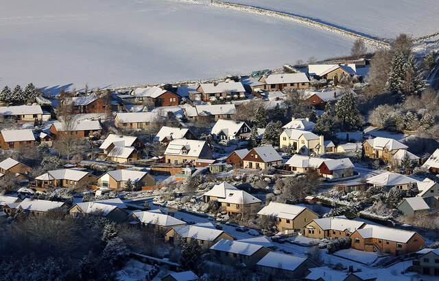
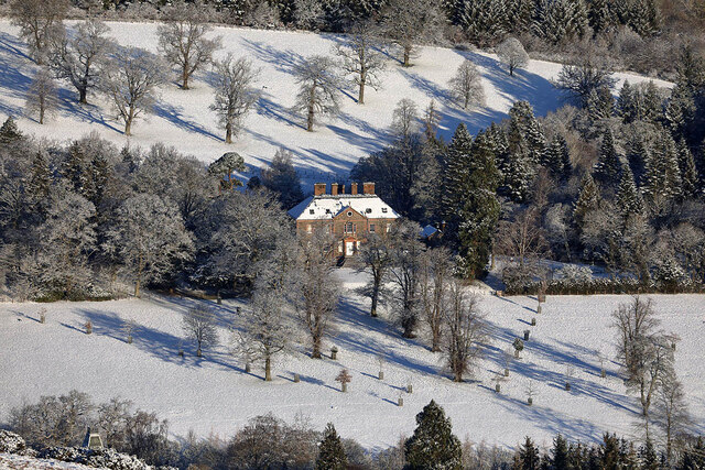
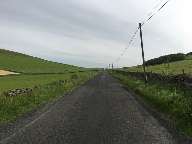
Meigle Moss Images

Images are sourced within 2km of 55.623728/-2.8680065 or Grid Reference NT4537. Thanks to Geograph Open Source API. All images are credited.

Clovenfords from the air Located 4 miles west of Galashiels at the crossroads of the A72 and B710 roads. Seen here from an Edinburgh bound flight from Prague.
Clovenfords from the air
Located 4 miles west of Galashiels at the crossroads of the A72 and B710 roads. Seen here from an Edinburgh bound flight from Prague.
Communication masts on Meigle Hill at sunset This telephoto shot was taken from my back garden.
Communication masts on Meigle Hill at sunset
This telephoto shot was taken from my back garden.
Caddonfoot and Meigle Hill View from Laidlawstiel Hill.
Caddonfoot and Meigle Hill
View from Laidlawstiel Hill.
New road, Dunlee Hill Associated with tree planting on Knowes Hill, the road continues almost all the way to the summit. It is quite gently graded and easy to ride up. Tree planting was taking place at the time.
New road, Dunlee Hill
Associated with tree planting on Knowes Hill, the road continues almost all the way to the summit. It is quite gently graded and easy to ride up. Tree planting was taking place at the time.
Road, Dunlee Hill Associated with tree planting on Knowes Hill, the road continues almost all the way to the summit. It is quite gently graded and easy to ride up. Tree planting was taking place at the time.
Road, Dunlee Hill
Associated with tree planting on Knowes Hill, the road continues almost all the way to the summit. It is quite gently graded and easy to ride up. Tree planting was taking place at the time.
Knowes Hill Trees had just been planted here, the team were at work at the time a short distance to the south.
Knowes Hill
Trees had just been planted here, the team were at work at the time a short distance to the south.
Newly planted trees, Knowes Hill Supplied by Alba Nurseries, East Lothian.
Newly planted trees, Knowes Hill
Supplied by Alba Nurseries, East Lothian.
Tree planting, Knowes Hill
Young trees awaiting planting Trees being planted on Knowes Hill. They are supplied by Alba nursery, East Lothian.
Young trees awaiting planting
Trees being planted on Knowes Hill. They are supplied by Alba nursery, East Lothian.
New road, Dunlee Hill Servicing the new woodland on Knowes Hill.
New road, Dunlee Hill
Servicing the new woodland on Knowes Hill.
New road up Knowes Hill View from the Bowland to Clovenfords road of the newly constructed forestry road.
New road up Knowes Hill
View from the Bowland to Clovenfords road of the newly constructed forestry road.
A November sunset over Meigle Hill The communication masts on Meigle Hill are visible in this photo taken from Blaikie’s Hill.
A November sunset over Meigle Hill
The communication masts on Meigle Hill are visible in this photo taken from Blaikie’s Hill.
Caddonlee Farm This telephoto shot was taken from Meigle Hill on a bitterly cold January day.
Caddonlee Farm
This telephoto shot was taken from Meigle Hill on a bitterly cold January day.
Torwoodlee Mains Farm This telephoto shot was taken from Meigle Hill on a bitterly cold January day.
Torwoodlee Mains Farm
This telephoto shot was taken from Meigle Hill on a bitterly cold January day.
A gate post and chain fastener on Meigle Hill The gate is on a Clovenfords Paths route.
A gate post and chain fastener on Meigle Hill
The gate is on a Clovenfords Paths route.
Houses at Clovenfords This telephoto shot was taken from Meigle Hill on a bitterly cold January day.
Houses at Clovenfords
This telephoto shot was taken from Meigle Hill on a bitterly cold January day.
Torwoodlee House in January This three-storey Georgian mansion, which dates back to 1783, is the home to the Pringles of Torwoodlee. This telephoto shot was taken from Meigle Hill on a bitterly cold January day.
Torwoodlee House in January
This three-storey Georgian mansion, which dates back to 1783, is the home to the Pringles of Torwoodlee. This telephoto shot was taken from Meigle Hill on a bitterly cold January day.
B710 towards Clovenfords
Show me another place!

Meigle Moss is located at Grid Ref: NT4537 (Lat: 55.623728, Lng: -2.8680065)

Unitary Authority: The Scottish Borders

Police Authority: The Lothians and Scottish Borders

What 3 Words

///seeing.poets.makeovers. Near Galashiels, Scottish Borders

Nearby Locations

Mains Hill Meigle Moss

Related Wikis

Clovenfords railway station

Clovenfords railway station served the village of Clovenfords, Scottish Borders, Scotland from 1866 to 1962 on the Peebles Railway. == History == The station...

Clovenfords

Clovenfords is a village in the Scottish Borders area of Scotland, 1 mile (2 kilometres) north of the hamlet of Caddonfoot and 4 miles (6 kilometres) west...

Torwoodlee Broch

Torwoodlee Broch is the remains of an iron-age broch located near the town of Galashiels in the Scottish Borders. == Description == Torwoodlee Broch...

Caddonfoot

Caddonfoot (Scottish Gaelic: Bun Chadain) is a village on the River Tweed, in the Scottish Borders area of Scotland, on the A707, near Galashiels. The...

Nearby Amenities

Located within 500m of 55.623728,-2.8680065
Noexit: yes
Lat/Long: 55.6204065/-2.8730485
Noexit: yes
Lat/Long: 55.6215886/-2.8737419
Noexit: yes
Lat/Long: 55.620545/-2.8696847
Noexit: yes
Lat/Long: 55.6216442/-2.8740028
Give Way
Direction: backward
Lat/Long: 55.6214339/-2.874821
Noexit: yes
Lat/Long: 55.6211025/-2.872767
Noexit: yes
Lat/Long: 55.6212431/-2.873071
Generator Method: photovoltaic
Generator Output Electricity: yes
Generator Source: solar
Generator Type: solar_photovoltaic_panel
Power: generator
Lat/Long: 55.6209152/-2.8714514
Generator Method: photovoltaic
Generator Output Electricity: yes
Generator Source: solar
Generator Type: solar_photovoltaic_panel
Power: generator
Lat/Long: 55.6203455/-2.8727754
Generator Method: photovoltaic
Generator Output Electricity: yes
Generator Source: solar
Generator Type: solar_photovoltaic_panel
Power: generator
Lat/Long: 55.6211219/-2.8707577
Generator Method: photovoltaic
Generator Output Electricity: yes
Generator Source: solar
Generator Type: solar_photovoltaic_panel
Power: generator
Lat/Long: 55.6213644/-2.8725874
Generator Method: photovoltaic
Generator Output Electricity: yes
Generator Source: solar
Generator Type: solar_photovoltaic_panel
Power: generator
Lat/Long: 55.6209683/-2.8741807
Power: pole
Lat/Long: 55.6274206/-2.8643734
Power: pole
Lat/Long: 55.627024/-2.865618
Power: pole
Lat/Long: 55.6266317/-2.8668345
Power: pole
Lat/Long: 55.6262395/-2.8680485
Power: pole
Lat/Long: 55.6258314/-2.8692931
Power: pole
Lat/Long: 55.6254448/-2.8704765
Power: pole
Lat/Long: 55.6250626/-2.8716753
Power: pole
Lat/Long: 55.6246832/-2.8728358
Power: pole
Lat/Long: 55.6243369/-2.8738997
Power: pole
Lat/Long: 55.6240035/-2.874933
The data included in this document is from www.openstreetmap.org. The data is made available under ODbL.

Have you been to Meigle Moss?

Leave your review of Meigle Moss below (or comments, questions and feedback).