Mains Hill
Hill, Mountain in Selkirkshire
Scotland
Mains Hill
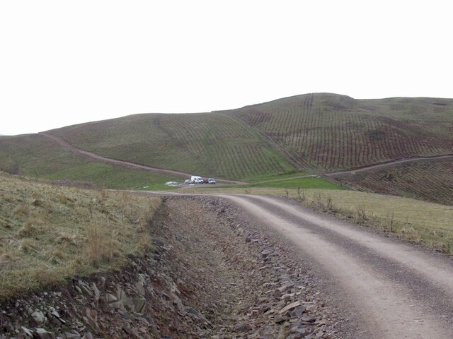
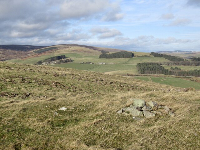
Mains Hill is a prominent hill located in the county of Selkirkshire, Scotland. Situated near the town of Selkirk, it forms part of the Southern Uplands range, which extends across the southern region of Scotland. Mains Hill boasts an elevation of approximately 431 meters (1,414 feet) above sea level, making it a notable landmark in the area.
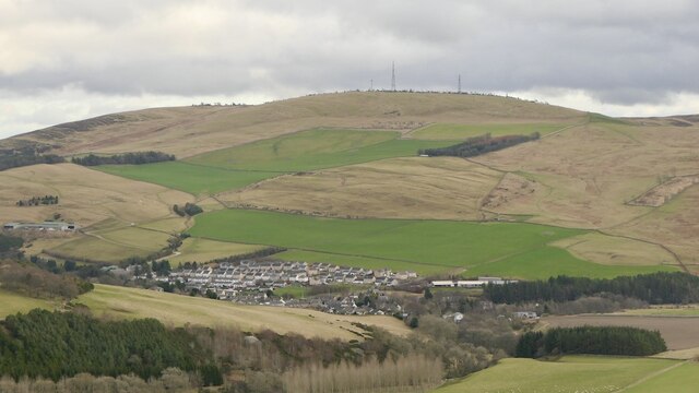
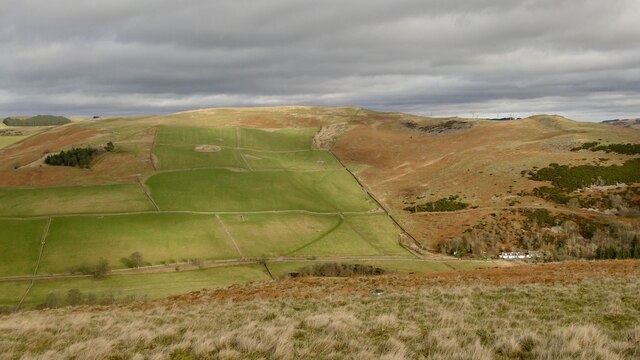
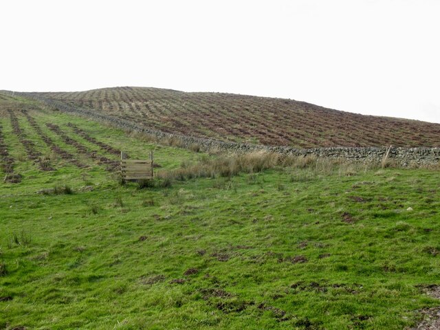
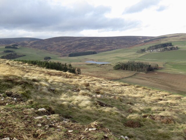
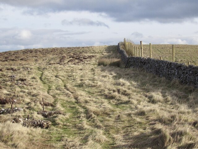
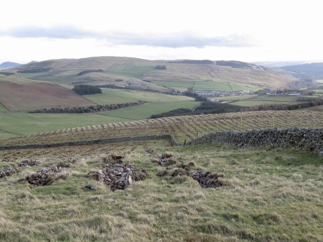
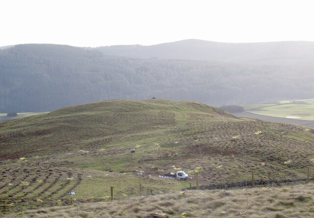
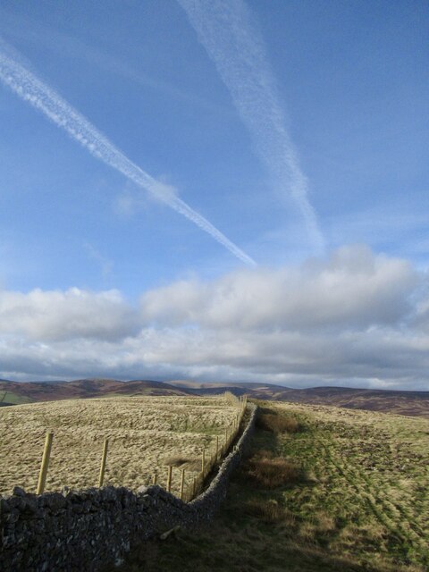
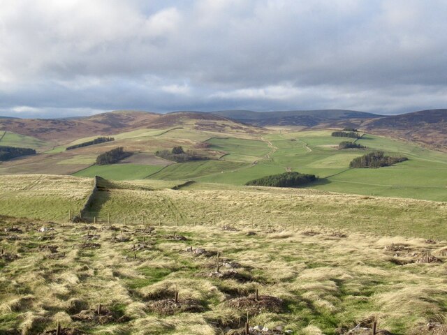
The hill itself is characterized by its gentle slopes and rounded summit, offering panoramic views of the surrounding countryside. Its location provides visitors with an opportunity to appreciate the natural beauty of Selkirkshire, as well as the nearby Ettrick Valley.
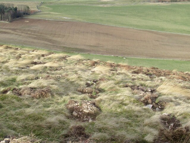
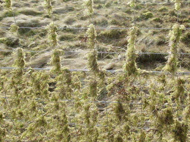
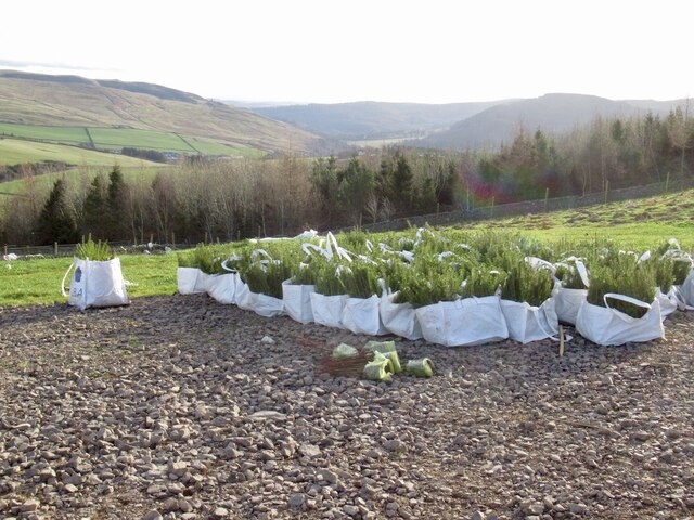
Mains Hill is a popular destination for outdoor enthusiasts, offering various activities such as hiking, nature walks, and birdwatching. The hill is home to a diverse range of flora and fauna, including heather, grasses, and various species of birds, making it an ideal spot for wildlife enthusiasts and nature lovers.
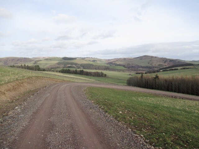
Access to Mains Hill is relatively straightforward, with various paths and trails leading to the summit. The hill is easily accessible from the town of Selkirk, with parking facilities available nearby. The hill's accessibility, combined with its natural beauty and recreational opportunities, make it a favored destination for both locals and tourists alike.
In summary, Mains Hill is a picturesque hill located in Selkirkshire, Scotland. With its stunning views, rich biodiversity, and recreational activities, it offers visitors a chance to immerse themselves in the natural wonders of the Southern Uplands.
If you have any feedback on the listing, please let us know in the comments section below.
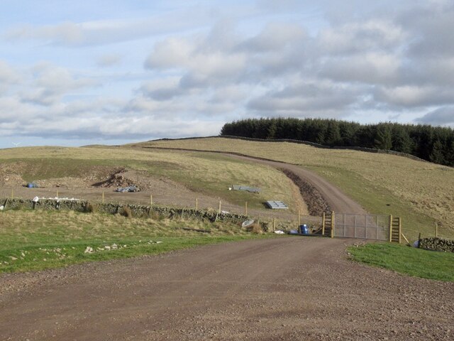
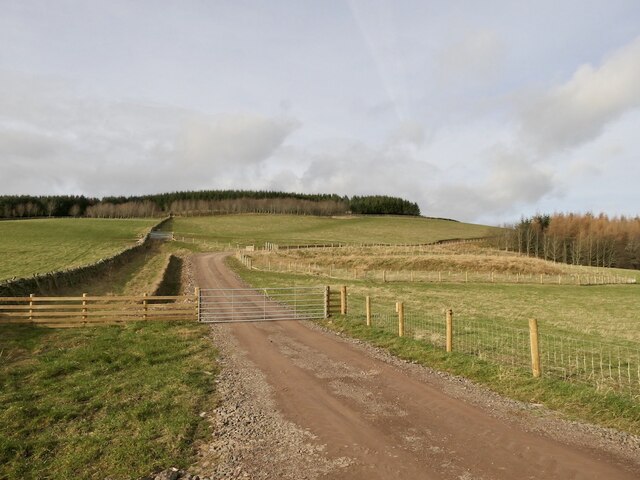
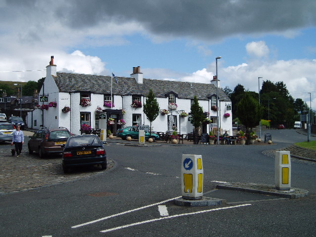
Mains Hill Images
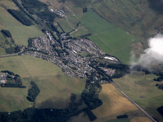
Images are sourced within 2km of 55.631967/-2.8681887 or Grid Reference NT4537. Thanks to Geograph Open Source API. All images are credited.
Mains Hill is located at Grid Ref: NT4537 (Lat: 55.631967, Lng: -2.8681887)
Unitary Authority: The Scottish Borders
Police Authority: The Lothians and Scottish Borders
What 3 Words
///meanings.explained.many. Near Galashiels, Scottish Borders
Nearby Locations
Related Wikis
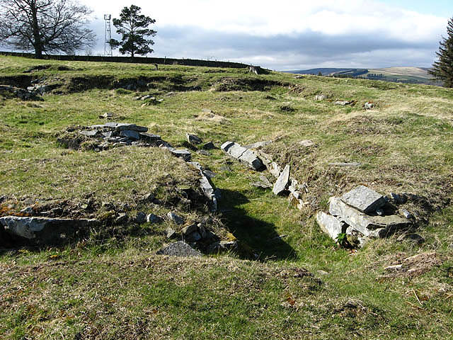
Torwoodlee Broch
Torwoodlee Broch is the remains of an iron-age broch located near the town of Galashiels in the Scottish Borders. == Description == Torwoodlee Broch...

Clovenfords railway station
Clovenfords railway station served the village of Clovenfords, Scottish Borders, Scotland from 1866 to 1962 on the Peebles Railway. == History == The station...
Clovenfords
Clovenfords is a village in the Scottish Borders area of Scotland, 1 mile (2 kilometres) north of the hamlet of Caddonfoot and 4 miles (6 kilometres) west...

Bowshank
Bowshank is a village in the Scottish Borders area of Scotland, close to the A7, beside the Gala Water. Nearby are Bow Castle Broch, as well as Buckholm...
Nearby Amenities
Located within 500m of 55.631967,-2.8681887Have you been to Mains Hill?
Leave your review of Mains Hill below (or comments, questions and feedback).