Skelfhill Fell
Hill, Mountain in Roxburghshire
Scotland
Skelfhill Fell

The requested URL returned error: 429 Too Many Requests
If you have any feedback on the listing, please let us know in the comments section below.
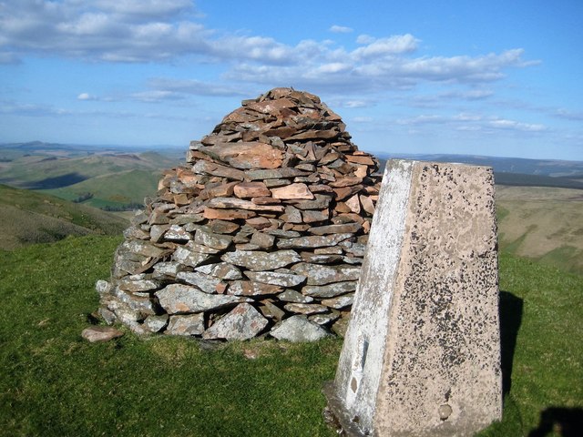
Skelfhill Fell Images
Images are sourced within 2km of 55.308231/-2.8611009 or Grid Reference NT4501. Thanks to Geograph Open Source API. All images are credited.


Skelfhill Fell is located at Grid Ref: NT4501 (Lat: 55.308231, Lng: -2.8611009)
Unitary Authority: The Scottish Borders
Police Authority: The Lothians and Scottish Borders
What 3 Words
///obeyed.hissing.beauty. Near Teviothead, Scottish Borders
Nearby Locations
Related Wikis

Cauldcleuch Head
Cauldcleuch Head is a hill in an unnamed range of Roxburghshire hills north of Langholm, part of the Southern Uplands of Scotland. The highest hill in...

Maiden Paps (Hawick)
The Maiden Paps are twin hills near Hawick, in the Scottish Borders of the south east of Scotland, so named because they have the shape of human breasts...

Teviothead
Teviothead (Scottish Gaelic: Ceann Tìbhiot) is a small village and civil parish in Teviotdale in the Scottish Borders, known locally as Teviotheid. It...

Dinley
Dinley is a hamlet in the Scottish Borders through which Hermitage Water flows. == Etymology == The first element, din, seems to be the Cumbric word for...
Nearby Amenities
Located within 500m of 55.308231,-2.8611009Have you been to Skelfhill Fell?
Leave your review of Skelfhill Fell below (or comments, questions and feedback).