High Knott
Hill, Mountain in Westmorland South Lakeland
England
High Knott

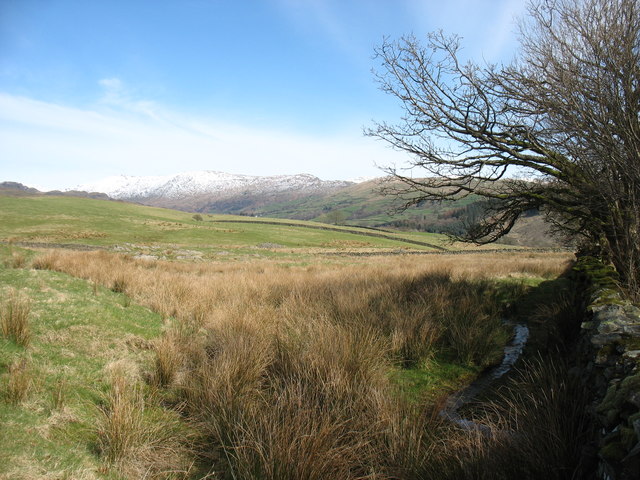
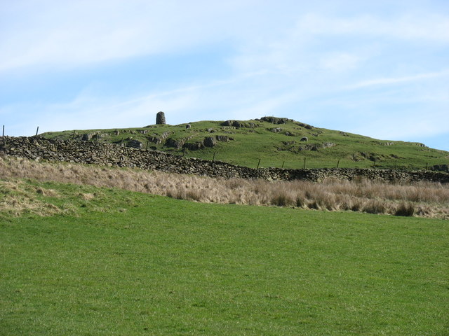
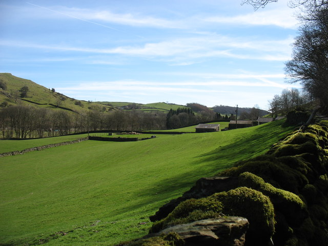
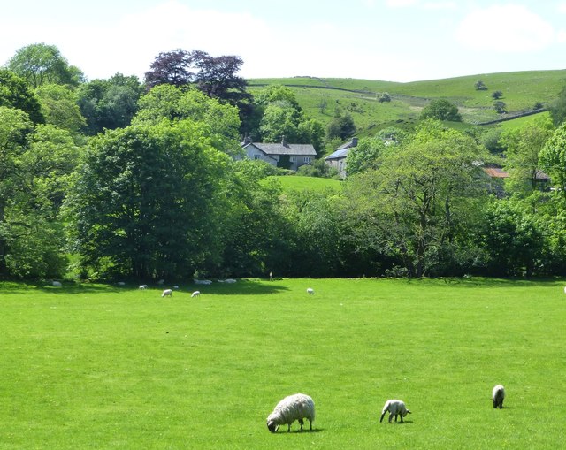
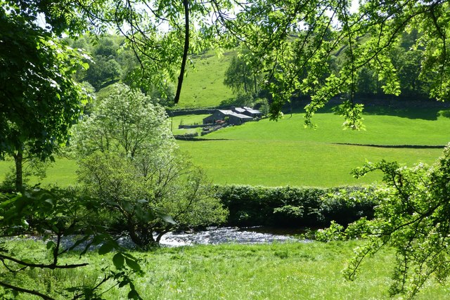
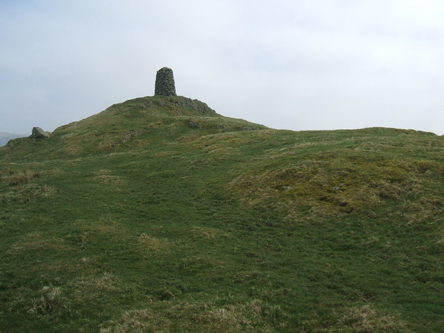
High Knott is a prominent hill located in the picturesque region of Westmorland, England. It lies within the picturesque Lake District National Park, which is renowned for its stunning scenery and natural beauty. With an elevation of approximately 1,419 feet (432 meters), High Knott offers breathtaking panoramic views of the surrounding landscape and is a popular destination for hikers and nature enthusiasts.
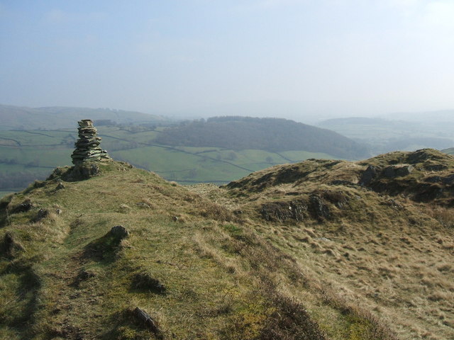
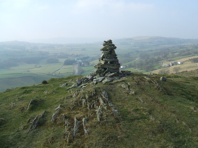
The hill is characterized by its gentle slopes and grassy terrain, making it accessible to walkers of varying abilities. Its summit provides an excellent vantage point, allowing visitors to admire the awe-inspiring vistas of rolling hills, lush valleys, and shimmering lakes that define the Lake District.
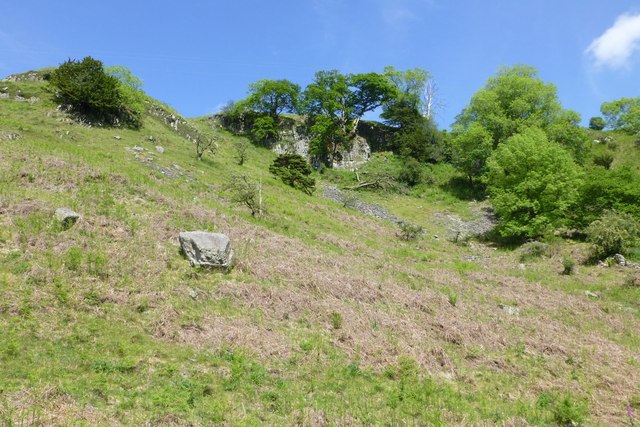
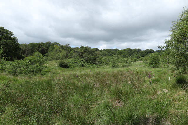
High Knott is also home to a diverse range of flora and fauna, adding to its allure. The hillside is covered in a lush carpet of heather, bracken, and grasses, providing habitat for a variety of bird species, including skylarks and meadow pipits. Wildlife enthusiasts may spot rabbits, foxes, and even deer during their visit.
Due to its proximity to other popular attractions in the region, such as Lake Windermere and Ambleside, High Knott is often incorporated into longer walking routes, allowing visitors to enjoy a day of exploration and discovery in the stunning Lake District landscape. Its accessibility, combined with its stunning views and natural beauty, make High Knott a must-visit destination for those seeking an outdoor adventure in Westmorland.
If you have any feedback on the listing, please let us know in the comments section below.
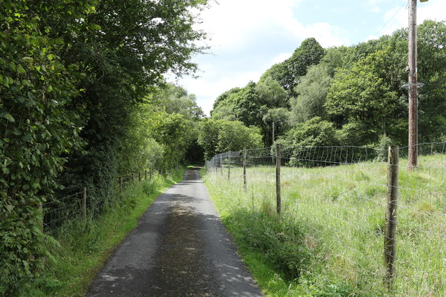
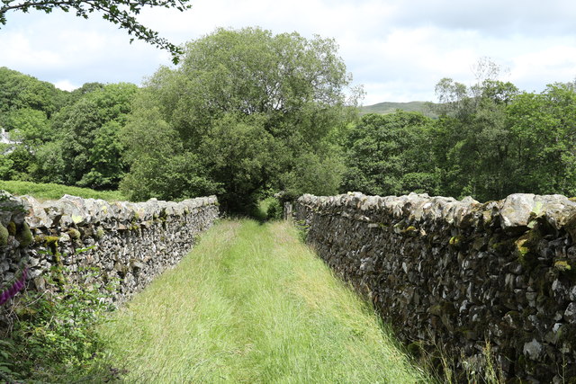
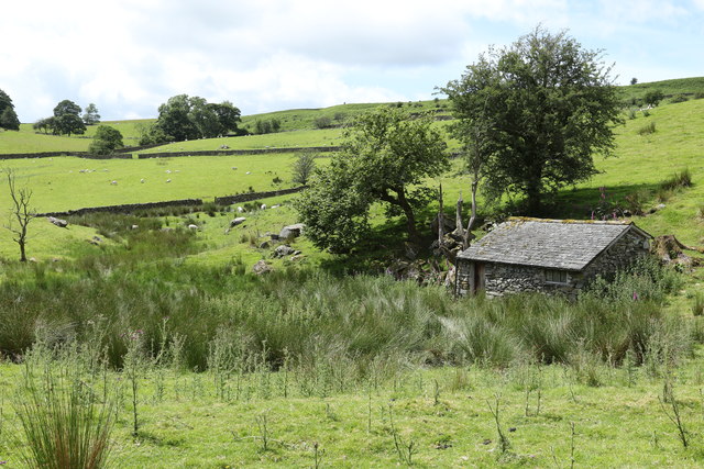
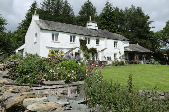
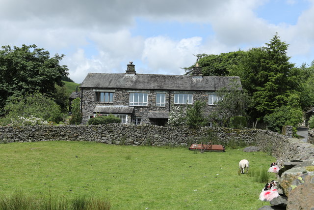
High Knott Images
Images are sourced within 2km of 54.393707/-2.8418492 or Grid Reference NY4500. Thanks to Geograph Open Source API. All images are credited.


High Knott is located at Grid Ref: NY4500 (Lat: 54.393707, Lng: -2.8418492)
Administrative County: Cumbria
District: South Lakeland
Police Authority: Cumbria
What 3 Words
///facing.cape.octagonal. Near Staveley, Cumbria
Nearby Locations
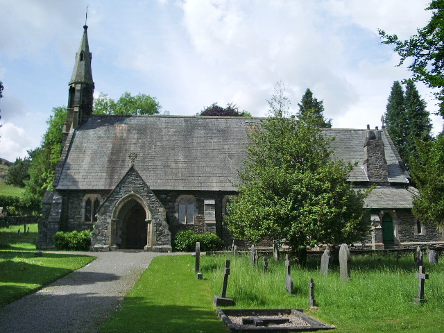
Related Wikis
High Knott
High Knott, marked on some Ordnance Survey maps as Williamson's Monument, is a hill in the eastern part of the English Lake District, near Staveley, Cumbria...
Hugill Fell
Hugill Fell is a hill in the English Lake District, near Staveley, Cumbria, on the western side of the Kentmere valley. The Database of British and Irish...
Reston Scar
Reston Scar is a fell in the Lake District of Cumbria, England. With a height of 837 feet (255 m), it overlooks the north side of Staveley village, and...

Hugill
Hugill is a civil parish in Cumbria, England. Hugill includes the village of Ings and the hamlets of Grassgarth, and Reston plus a large part of the village...
Ings, Cumbria
Ings is a village in the South Lakeland district of Cumbria, England. It lies on the course on the River Gowan and A591 road, 2 miles (3.2 km) east of...

Over Staveley
Over Staveley is a civil parish in South Lakeland, Cumbria, England. The parish comprises most of the village of Staveley north of the River Gowan, and...
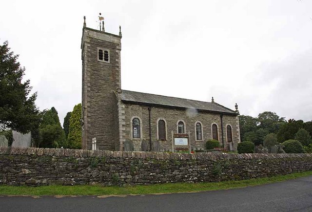
St James' Church, Staveley
St James' Church, Staveley is a Grade II listed parish church in the Church of England in Staveley, Cumbria. Its benefice is united with that of St Martin...
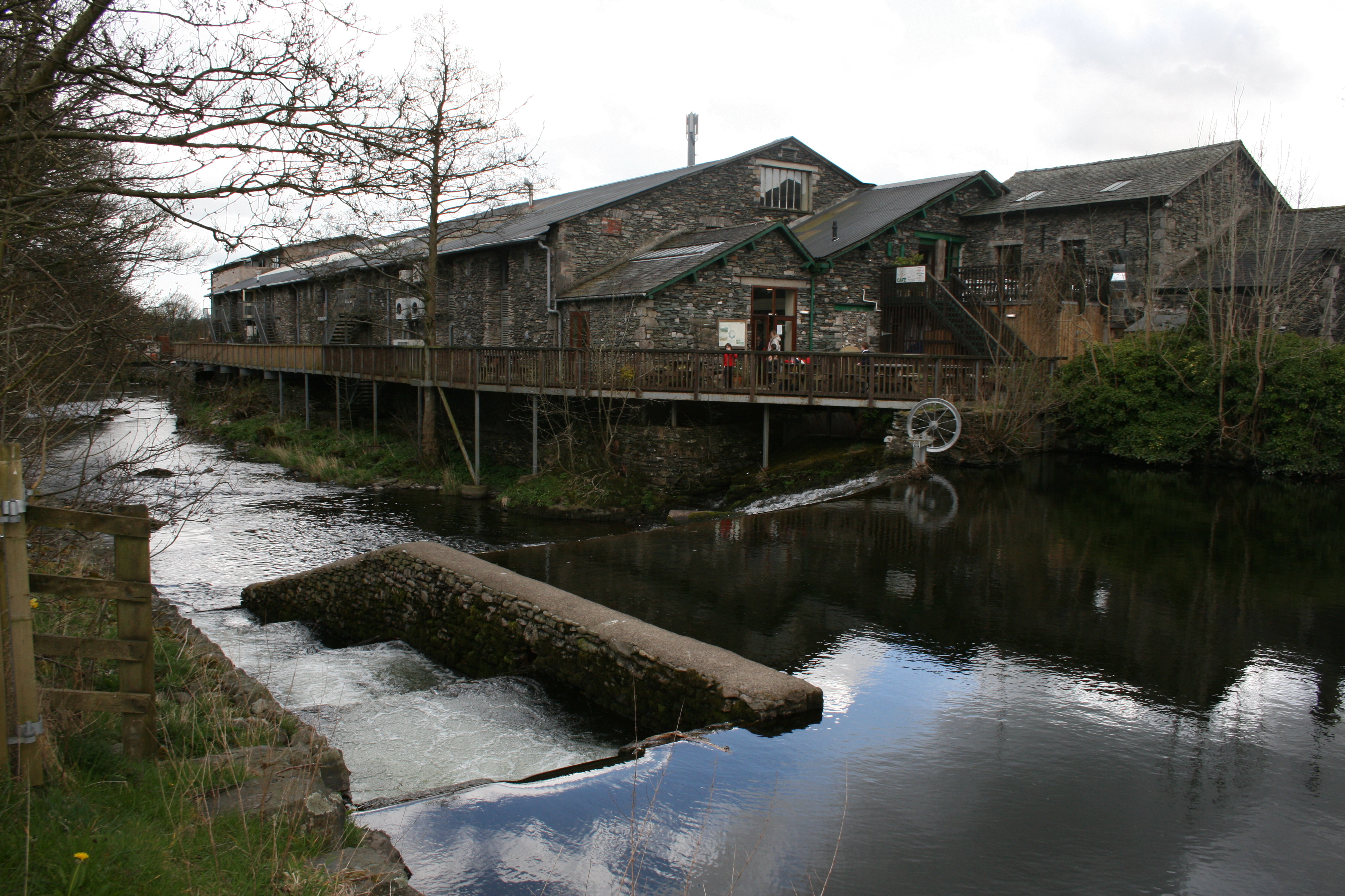
Staveley Mill Yard
Staveley Mill Yard is a former bobbin (spool) mill, which is now used for a variety of different local industries, shops and other commercial ventures...
Nearby Amenities
Located within 500m of 54.393707,-2.8418492Have you been to High Knott?
Leave your review of High Knott below (or comments, questions and feedback).