Browfoot Plantation
Wood, Forest in Westmorland South Lakeland
England
Browfoot Plantation

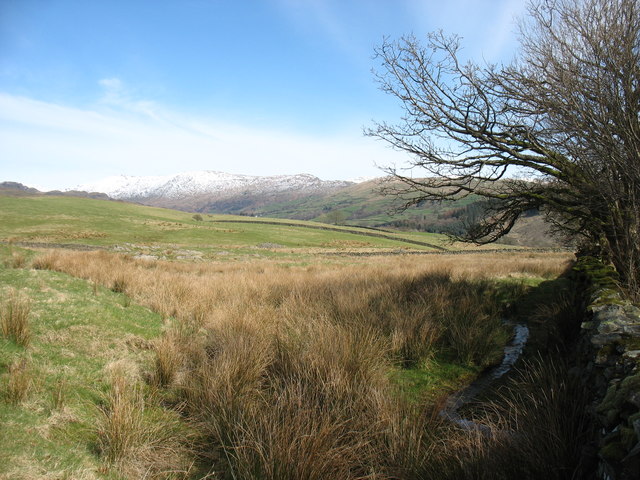
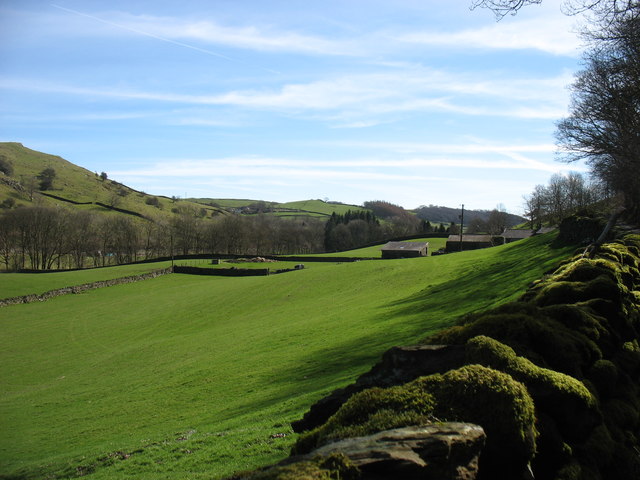
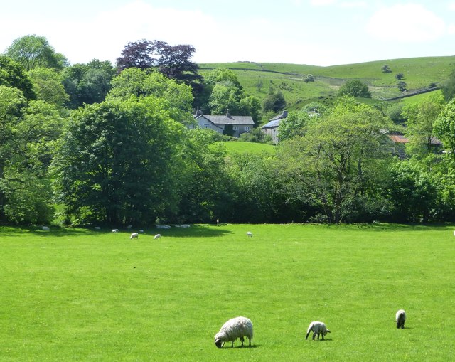
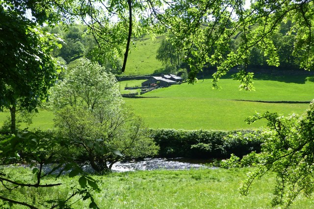
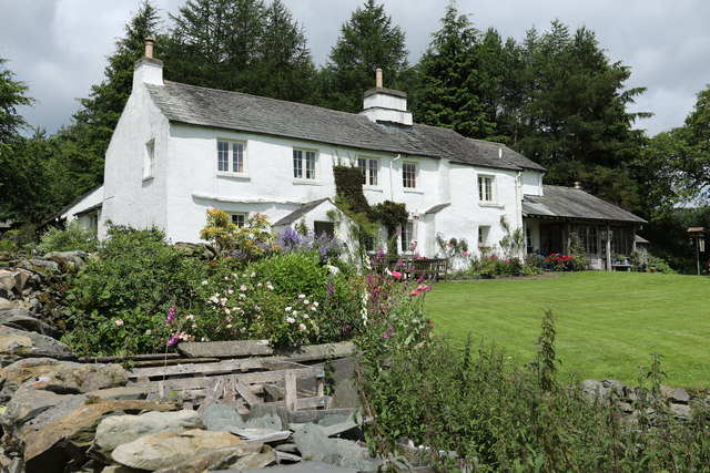
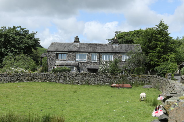
Browfoot Plantation is a picturesque estate located in the charming village of Westmorland, known for its abundant woodlands and lush forests. Situated amidst the stunning natural beauty of the area, the plantation covers a vast area of land, making it a haven for nature enthusiasts and those seeking tranquility.
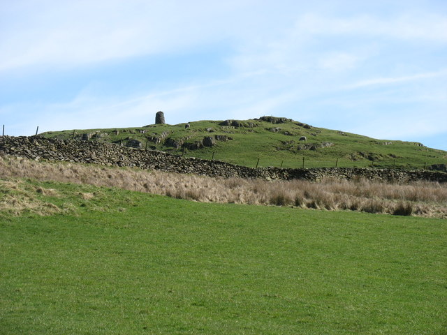
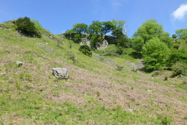
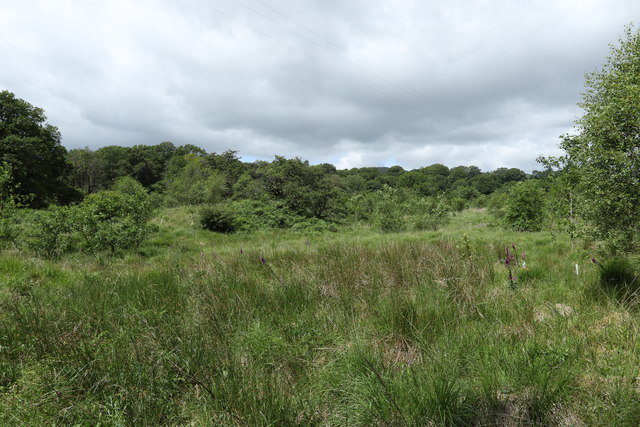
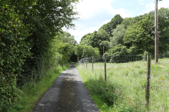
The plantation is renowned for its well-maintained woodlands, which offer a diverse range of flora and fauna. Towering trees, including oak, ash, and beech, dominate the landscape, providing a lush canopy that shelters a variety of wildlife. Deer, foxes, and numerous bird species can often be spotted in the forests, adding to the plantation's allure.
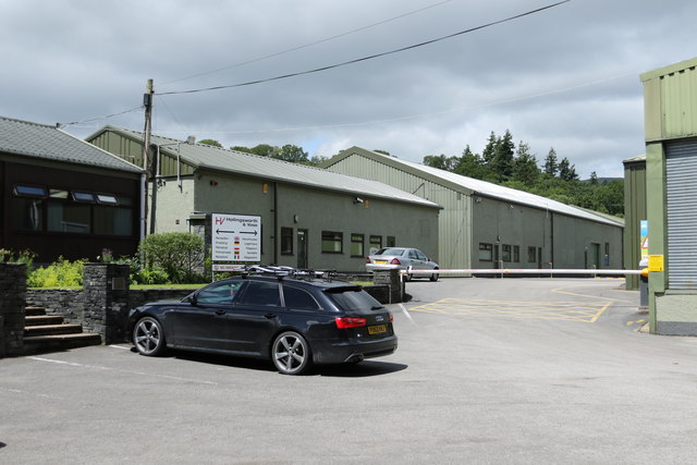
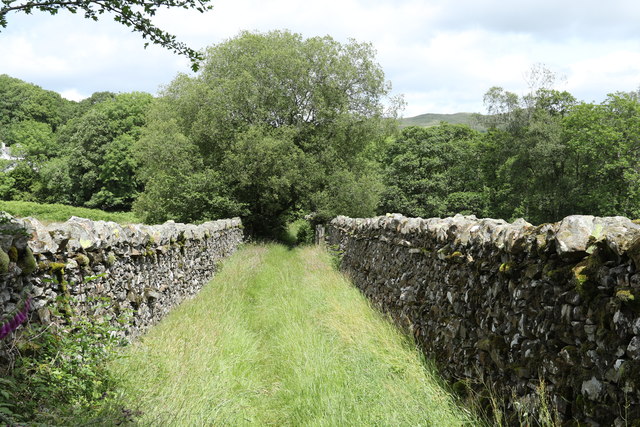
Apart from its natural splendor, Browfoot Plantation also boasts several amenities that enhance the visitor experience. The estate features well-marked hiking trails that wind through the woodlands, allowing visitors to explore the area at their leisure. Additionally, picnic areas have been set up in select locations, providing the perfect spot for a leisurely outdoor lunch.
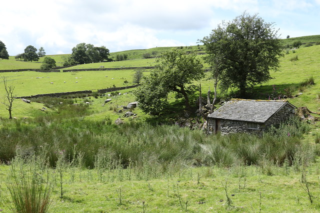
For those interested in history, Browfoot Plantation has a rich past. The plantation dates back several centuries and has been meticulously preserved, offering glimpses into the region's agricultural heritage. Visitors can witness the remnants of old farm buildings and learn about the traditional farming practices that once thrived on the estate.
Overall, Browfoot Plantation in Westmorland offers a captivating blend of natural beauty, recreational opportunities, and historical significance. Whether one seeks solace amidst the forests, wishes to embark on an adventurous hike, or desires to immerse themselves in the region's history, this idyllic estate is a must-visit destination.
If you have any feedback on the listing, please let us know in the comments section below.
Browfoot Plantation Images
Images are sourced within 2km of 54.397864/-2.8399011 or Grid Reference NY4500. Thanks to Geograph Open Source API. All images are credited.


Browfoot Plantation is located at Grid Ref: NY4500 (Lat: 54.397864, Lng: -2.8399011)
Administrative County: Cumbria
District: South Lakeland
Police Authority: Cumbria
What 3 Words
///impaled.popping.parading. Near Staveley, Cumbria
Nearby Locations
Related Wikis
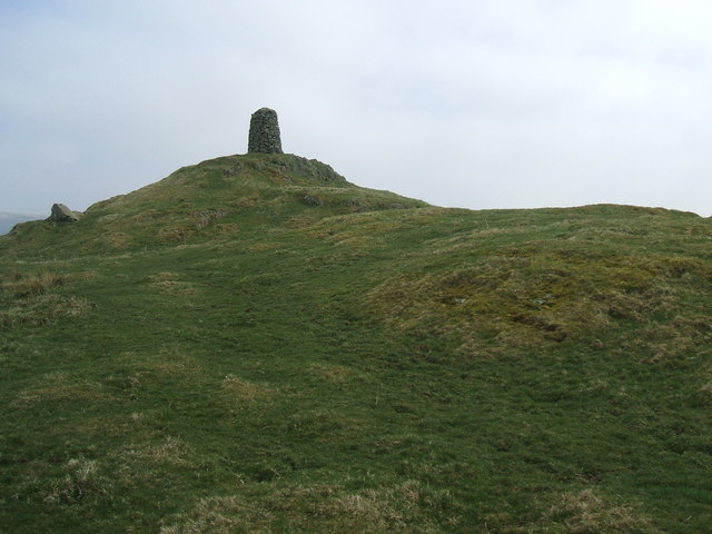
High Knott
High Knott, marked on some Ordnance Survey maps as Williamson's Monument, is a hill in the eastern part of the English Lake District, near Staveley, Cumbria...
Hugill Fell
Hugill Fell is a hill in the English Lake District, near Staveley, Cumbria, on the western side of the Kentmere valley. The Database of British and Irish...
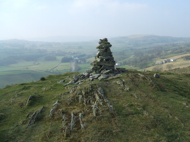
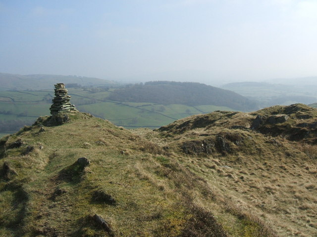
Reston Scar
Reston Scar is a fell in the Lake District of Cumbria, England. With a height of 837 feet (255 m), it overlooks the north side of Staveley village, and...

Hugill
Hugill is a civil parish in Cumbria, England. Hugill includes the village of Ings and the hamlets of Grassgarth, and Reston plus a large part of the village...
Nearby Amenities
Located within 500m of 54.397864,-2.8399011Have you been to Browfoot Plantation?
Leave your review of Browfoot Plantation below (or comments, questions and feedback).