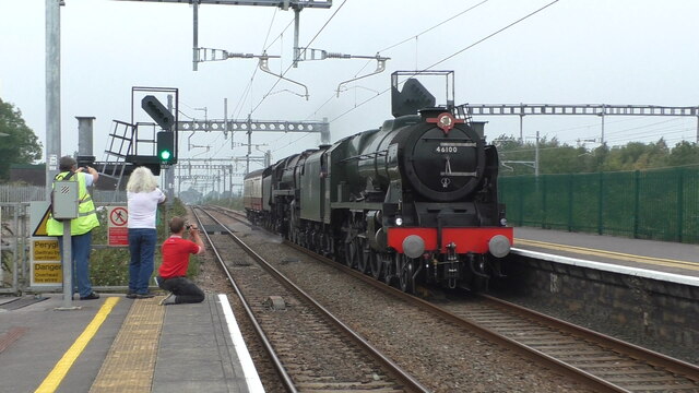
Caldicot Moor
Downs, Moorland in Monmouthshire
Wales
Caldicot Moor
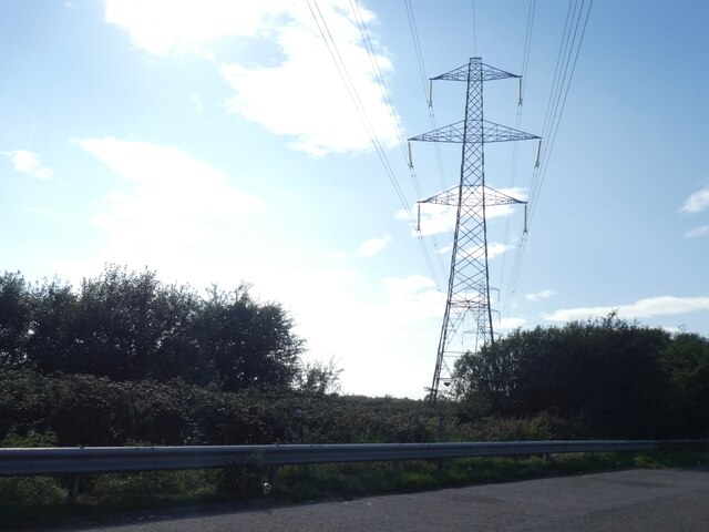
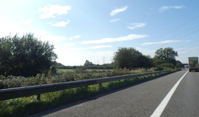
Caldicot Moor, located in Monmouthshire, Wales, is a stunning expanse of downs and moorland that stretches across approximately 950 acres. This area is renowned for its natural beauty, offering visitors a unique and diverse landscape to explore.
The moorland at Caldicot Moor is characterized by its vast open spaces, rolling hills, and panoramic views. The terrain is predominantly covered in heather and grasses, creating a picturesque and serene environment. Visitors can enjoy leisurely walks or hikes, taking in the breathtaking scenery and immersing themselves in nature.
The moorland is also home to a variety of wildlife, including indigenous bird species, such as skylarks and kestrels. This makes Caldicot Moor a popular spot for birdwatching enthusiasts, who can observe these fascinating creatures in their natural habitat.
In addition to its natural charm, Caldicot Moor holds historical significance as well. The area is scattered with remnants of World War II, including air raid shelters and pillboxes, serving as a reminder of the region's past.
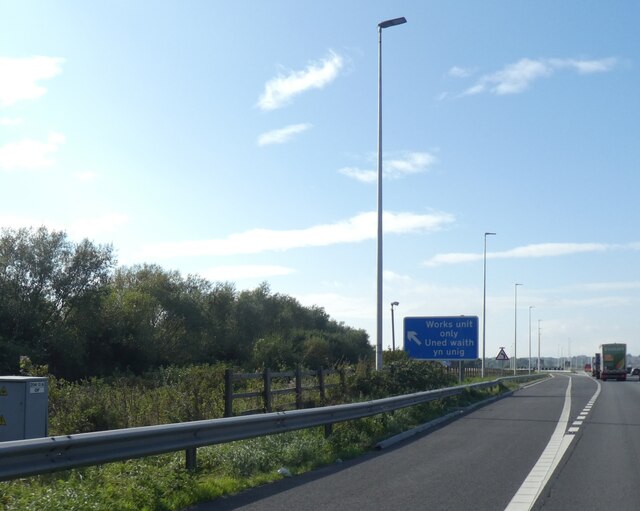
One of the standout features of Caldicot Moor is its accessibility. The area is easily reached via well-maintained footpaths and bridleways, allowing visitors to explore and appreciate the moorland at their own pace.
Overall, Caldicot Moor is a haven for nature lovers and history enthusiasts alike. Its breathtaking landscapes, abundant wildlife, and historical remnants make it a must-visit destination for anyone seeking a tranquil and enriching experience in the heart of Monmouthshire.
If you have any feedback on the listing, please let us know in the comments section below.
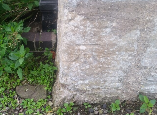
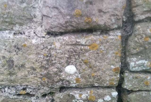
Caldicot Moor Images
Images are sourced within 2km of 51.575908/-2.7887377 or Grid Reference ST4586. Thanks to Geograph Open Source API. All images are credited.

Caldicot Moor is located at Grid Ref: ST4586 (Lat: 51.575908, Lng: -2.7887377)
Unitary Authority: Monmouthshire
Police Authority: Gwent
What 3 Words
///shipyards.crafted.showdown. Near Rogiet, Monmouthshire
Nearby Locations
Related Wikis

St Mary's Church, Rogiet
The Church of St Mary is the parish church of Rogiet, a small rural village on the Caldicot Levels, 8 miles west of Chepstow, Monmouthshire, Wales. It...

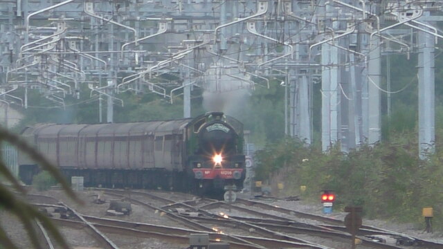
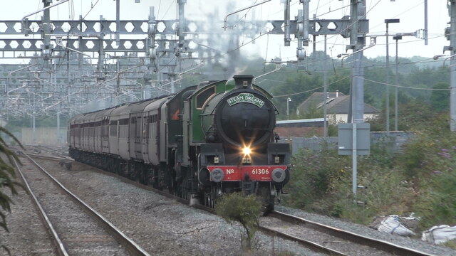
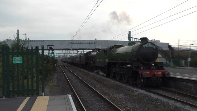
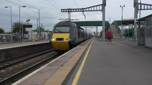
Severn Tunnel Junction railway station
Severn Tunnel Junction railway station (Welsh: Cyffordd Twnnel Hafren) is a minor station on the western side of the Severn Tunnel in the village of Rogiet...

St Michael and All Angels Church, Llanfihangel Rogiet
St Michael and All Angels Church, Llanfihangel Rogiet, is a redundant church in the hamlet of Llanfihangel Rogiet near the village of Rogiet, Monmouthshire...

Rogiet Primary School
Rogiet Primary School is located in the village of Rogiet, Monmouthshire, Wales. It caters for pupils aged 4 to 11 years of age. The current catchment...
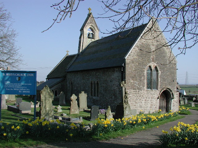
St Mary's Church, Undy
St Mary's Church, Undy is located in the village of Undy, in Monmouthshire, Wales. == History == The church dates to around the twelfth century. The pointed...

Rogiet
Rogiet (English: ; Welsh: Rhosied) is a small village and community (and electoral ward) in Monmouthshire, south east Wales, between Caldicot and Magor...

Rogiet Hoard
The Rogiet Hoard is a hoard of 3,778 Roman coins found at Rogiet, Monmouthshire, Wales in September 1998. The coins dated from 253 up until 295–296. The...
Undy A.F.C.
Undy Athletic Football Club is a Welsh association football club based in the village of Undy, Monmouthshire. The club plays in the Ardal South East league...
Nearby Amenities
Located within 500m of 51.575908,-2.7887377Have you been to Caldicot Moor?
Leave your review of Caldicot Moor below (or comments, questions and feedback).