Cheddar Moor
Downs, Moorland in Somerset Sedgemoor
England
Cheddar Moor
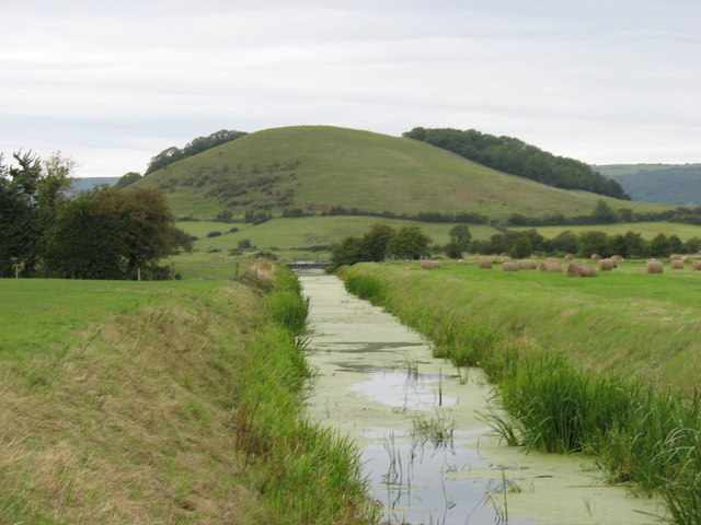
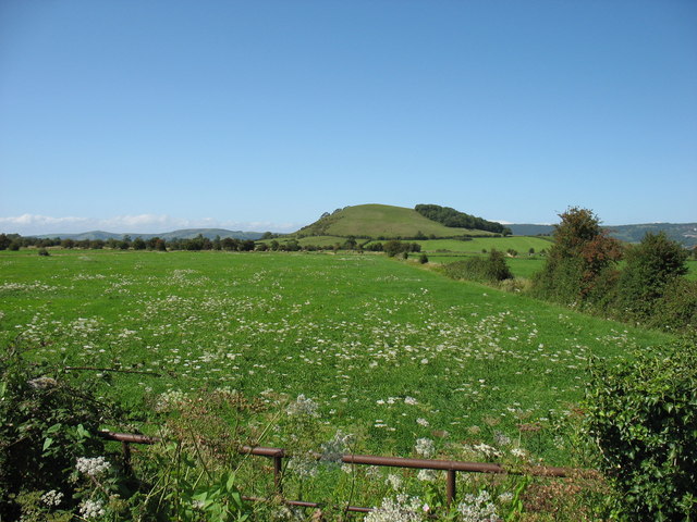
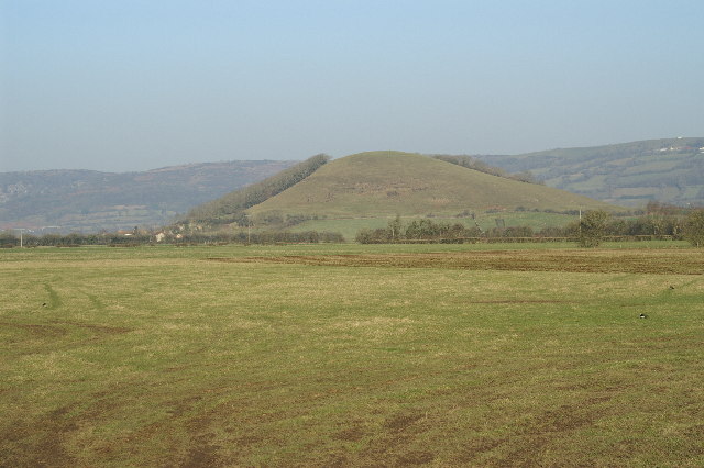
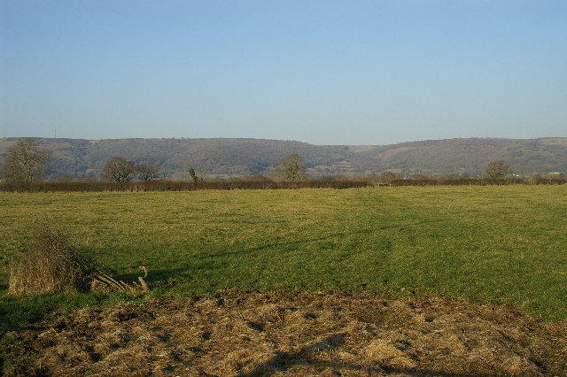
Cheddar Moor is a picturesque area located in Somerset, England. It is a combination of downs and moorland, offering a diverse landscape that attracts visitors from far and wide. Stretching over a vast area, Cheddar Moor is known for its stunning natural beauty and historical significance.
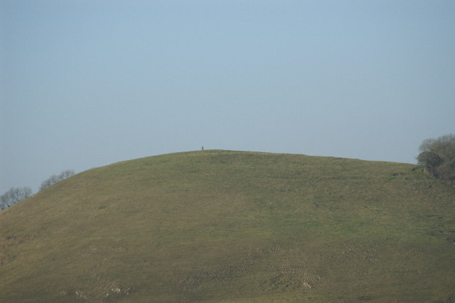
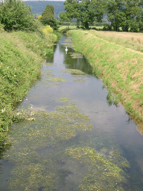
The moorland of Cheddar Moor is characterized by its open, expansive spaces covered in heather, grasses, and low-lying shrubs. This creates a unique habitat for various wildlife species, such as skylarks, meadow pipits, and even the occasional red deer. The moorland is also home to ancient burial mounds and stone circles, providing evidence of human activity dating back thousands of years.
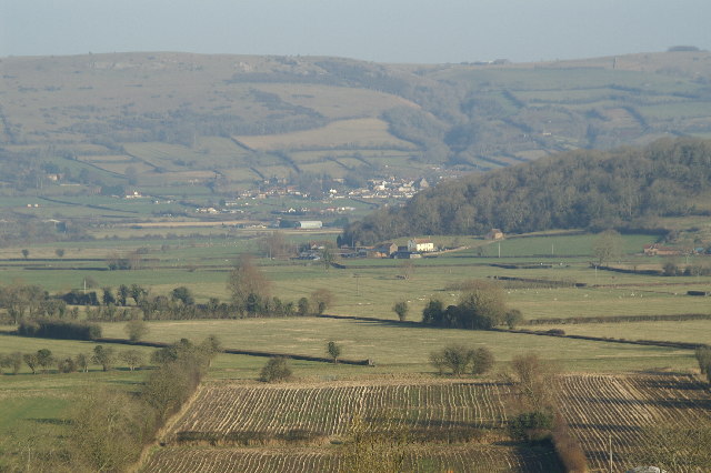
The downs of Cheddar Moor offer a contrasting landscape, with rolling hills and lush greenery. These downs provide breathtaking views of the surrounding countryside, including the famous Cheddar Gorge. The area is a haven for hikers and nature enthusiasts, with numerous walking trails and paths to explore.
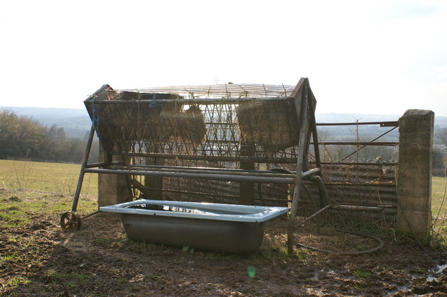
Cheddar Moor is not only appreciated for its natural beauty but also for its historical significance. The area has been inhabited by humans for centuries, with evidence of settlements and farming activities dating back to the Iron Age. The moorland was also utilized for grazing livestock, and remnants of old sheep pens can still be found scattered across the landscape.
Overall, Cheddar Moor in Somerset is a remarkable destination that offers a combination of stunning moorland and downs. With its rich biodiversity, breathtaking views, and historical significance, it continues to captivate visitors who seek to experience the beauty of the English countryside.
If you have any feedback on the listing, please let us know in the comments section below.
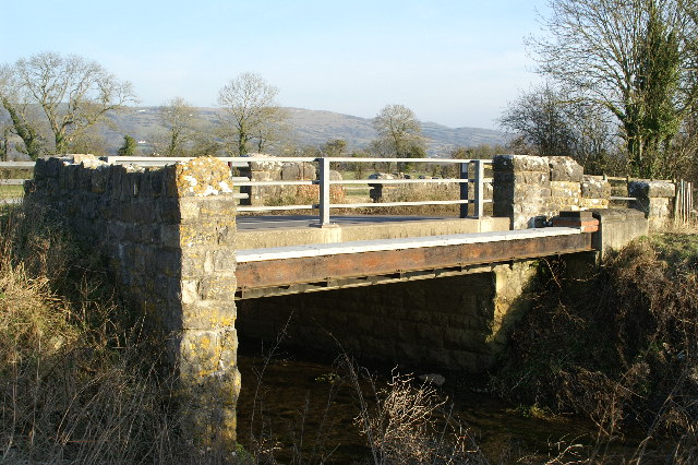
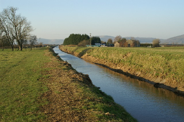
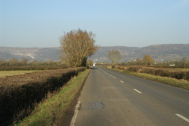
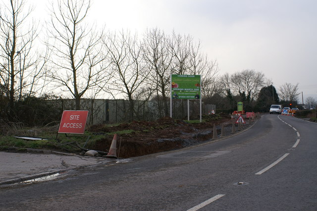
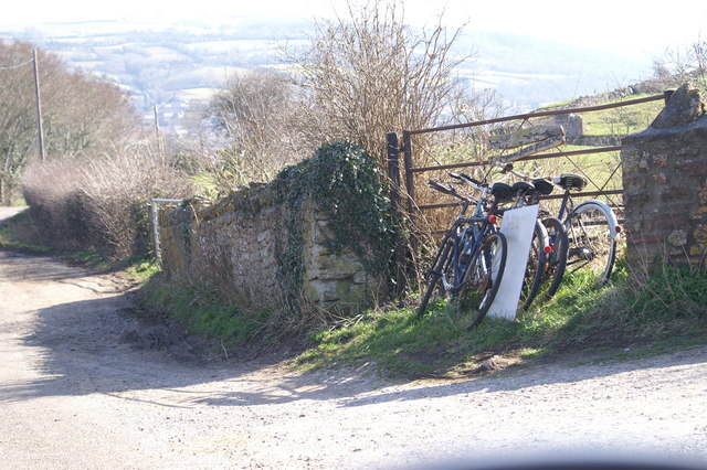
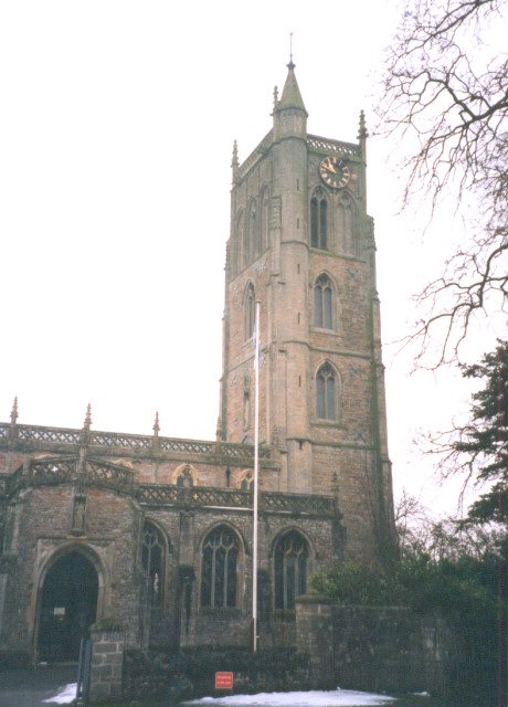
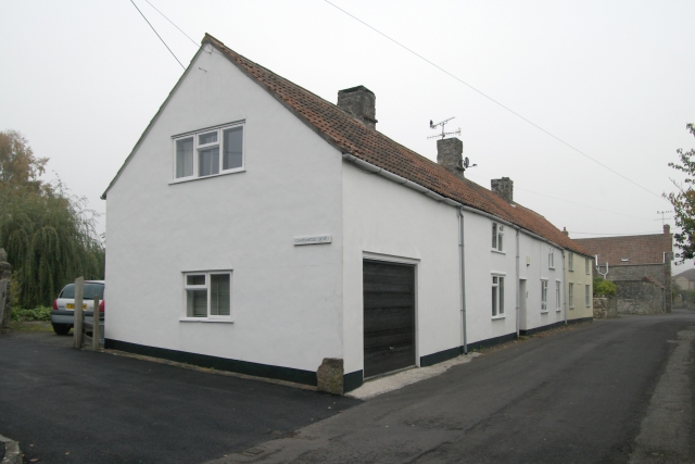
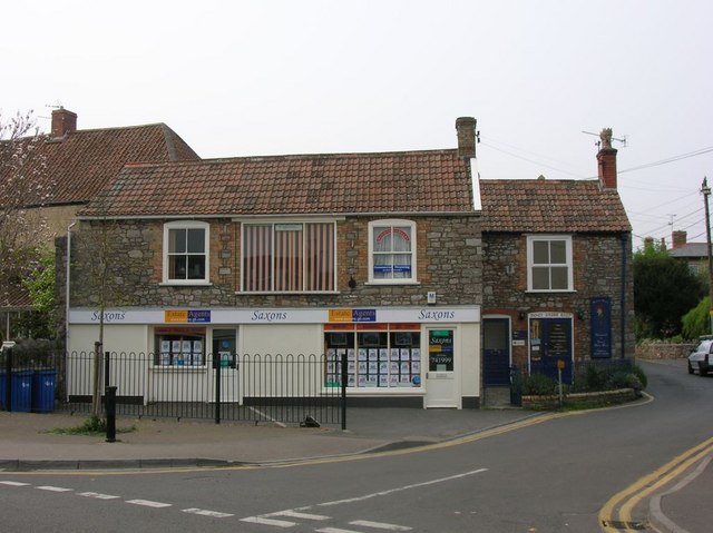
Cheddar Moor Images
Images are sourced within 2km of 51.259739/-2.7833129 or Grid Reference ST4551. Thanks to Geograph Open Source API. All images are credited.
Cheddar Moor is located at Grid Ref: ST4551 (Lat: 51.259739, Lng: -2.7833129)
Administrative County: Somerset
District: Sedgemoor
Police Authority: Avon and Somerset
What 3 Words
///spirit.alike.prance. Near Cheddar, Somerset
Nearby Locations
Related Wikis

Cheddar Ales
Cheddar Ales is an independent, artisanal brewery located in the village of Cheddar in Somerset, England, which produces a range of regular and seasonal...
Cheddar A.F.C.
Cheddar Association Football Club is a football club based in Cheddar, near Wells in Somerset, England. They are currently members of the Western League...

St Andrew's Church, Cheddar
The Church of St Andrew in Cheddar, Somerset, England dates from the 14th century and has been designated as a Grade I listed building.The church was restored...

Cheddar Palace
The Cheddar Palace was established in the 9th century, in Cheddar, Somerset, England. It was a royal hunting lodge in the Anglo-Saxon and medieval periods...
The Kings of Wessex Academy
The Kings of Wessex Academy, formerly known as the Kings of Wessex School, is a coeducational secondary school located in Cheddar, Somerset, England. As...

Cheddar railway station
Cheddar railway station was a station on the Bristol and Exeter Railway's Cheddar Valley line in Cheddar, Somerset, England. The station had substantial...
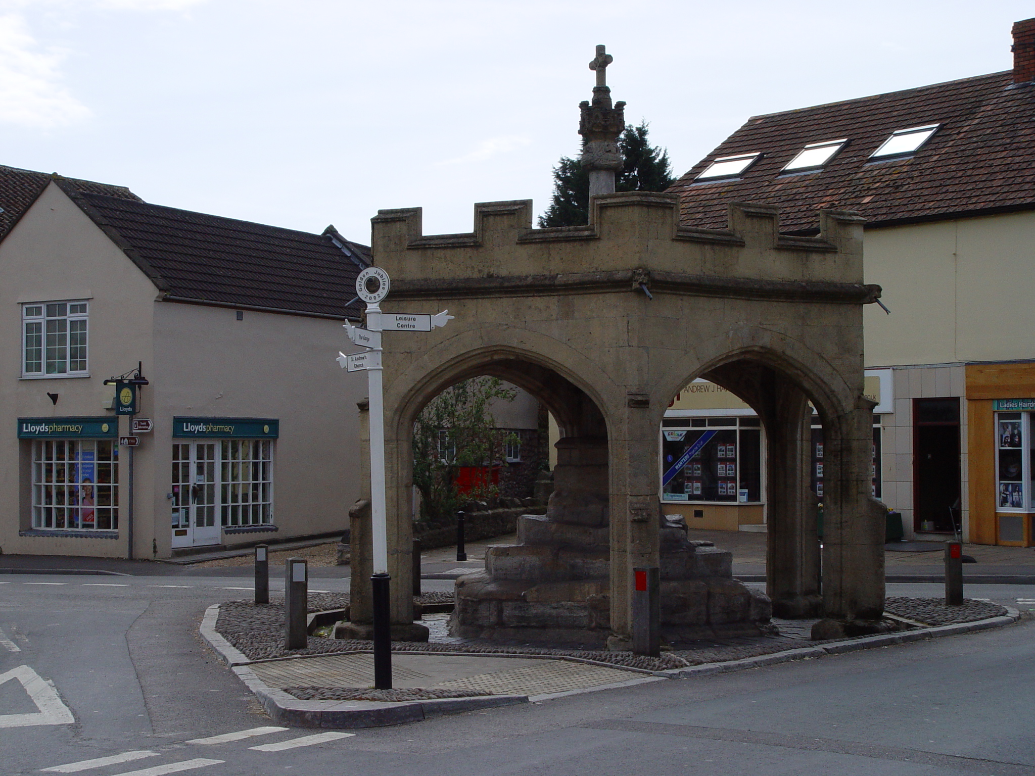
Market Cross, Cheddar
Cheddar Market Cross in the village of Cheddar within the English county of Somerset, England dates from the 15th century. It is a Scheduled Ancient Monument...
Fairlands Middle School
Fairlands Middle School is a coeducational middle school with roughly 522 pupils aged between 9 and 13 in 2012, located in Cheddar, Somerset, England....
Nearby Amenities
Located within 500m of 51.259739,-2.7833129Have you been to Cheddar Moor?
Leave your review of Cheddar Moor below (or comments, questions and feedback).