Church Wood
Wood, Forest in Cumberland Eden
England
Church Wood
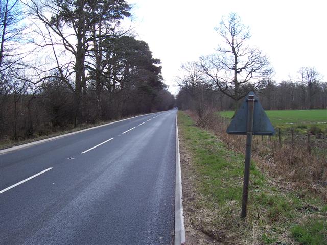
Church Wood, located in Cumberland, is a charming and picturesque woodland area that covers a sprawling area of forest in the region. This woodland is known for its rich biodiversity and stunning natural beauty, attracting nature enthusiasts and hikers alike.
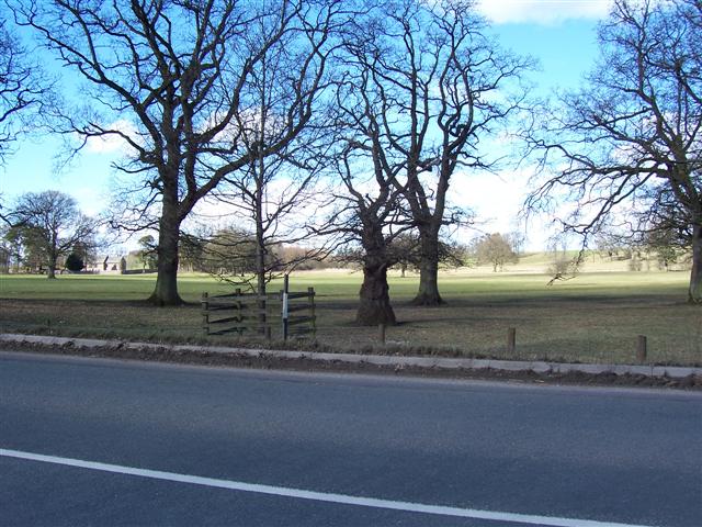
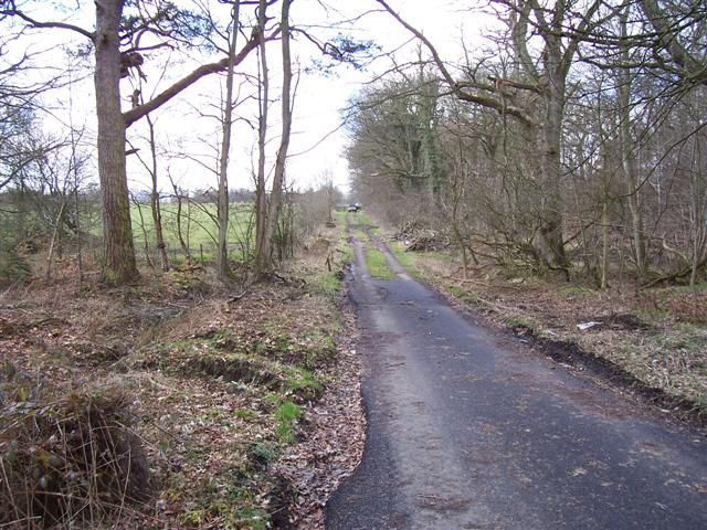
The wood is dominated by a variety of tree species, such as oak, beech, and birch, which create a lush and vibrant canopy. The forest floor is covered with a blanket of mosses, ferns, and wildflowers, creating a magical and serene atmosphere. Visitors can expect to encounter a diverse array of wildlife, including deer, squirrels, and a multitude of bird species.
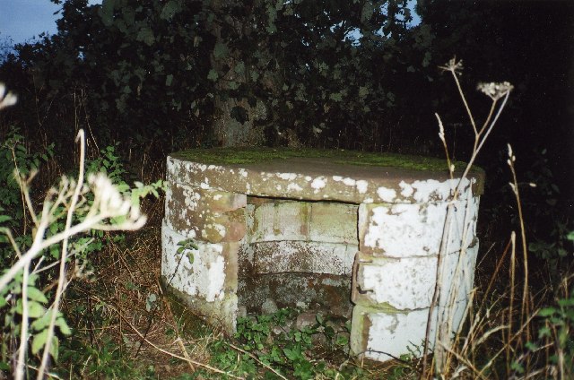
One of the highlights of Church Wood is the presence of a historic church nestled within its boundaries. This ancient church, dating back several centuries, adds a touch of charm and historical significance to the woodland. The church's crumbling stone walls and ivy-covered exterior create a captivating and romantic ambiance, making it a popular spot for photographers and history enthusiasts.
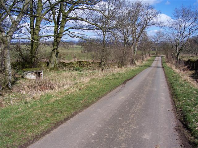
The wood offers a network of well-maintained trails that wind through the forest, providing visitors with ample opportunities for walking, jogging, and exploring. These trails also lead to several scenic viewpoints, offering breathtaking vistas of the surrounding countryside.
Church Wood, Cumberland, is a haven for both nature lovers and history buffs, providing a peaceful retreat from the hustle and bustle of everyday life. Whether you're seeking a tranquil walk in nature, an opportunity to observe wildlife, or a glimpse into the region's past, this woodland has something to offer for everyone.
If you have any feedback on the listing, please let us know in the comments section below.
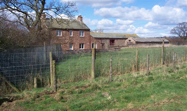
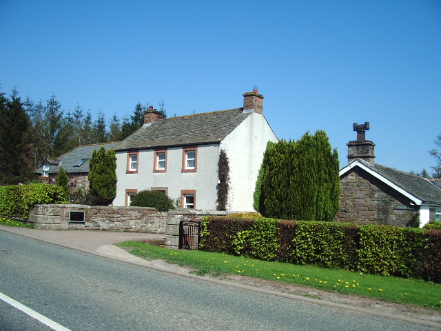
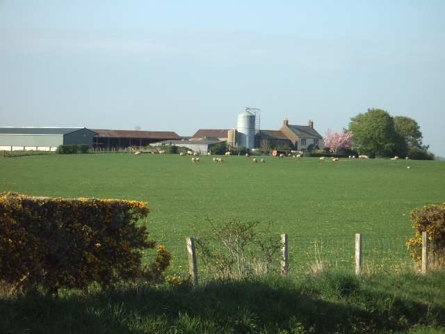
Church Wood Images
Images are sourced within 2km of 54.722418/-2.840902 or Grid Reference NY4536. Thanks to Geograph Open Source API. All images are credited.


Church Wood is located at Grid Ref: NY4536 (Lat: 54.722418, Lng: -2.840902)
Administrative County: Cumbria
District: Eden
Police Authority: Cumbria
What 3 Words
///showcases.pointer.tested. Near Penrith, Cumbria
Nearby Locations
Related Wikis

Unthank, Skelton
Unthank is a village in the civil parish of Skelton, in Cumbria, England. In 1870-72 the township had a population of 39 as recorded in the Imperial Gazetteer...

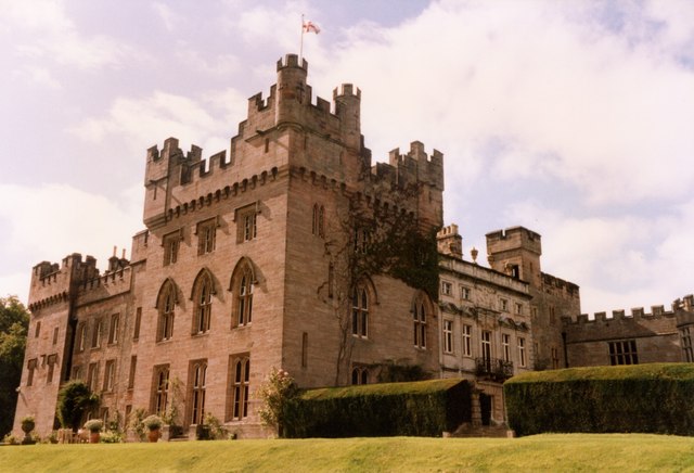
Hutton in the Forest
Hutton in the Forest is a Grade I listed country house near the village of Skelton in the historic county of Cumberland, which now forms part of the modern...

Unthank End
Unthank End is a hamlet in Cumbria, England. == See also == Listed buildings in Skelton, Cumbria == References == UK Coal Board The geographic coordinates...

Skelton, Cumbria
Skelton is a small village and civil parish about 7 miles (11 km) north west of Penrith in the English county of Cumbria. It is on the former route of...

Plumpton railway station (Cumbria)
Plumpton railway station in Hesket parish in what is now Cumbria but was then Cumberland in the north west of England, was situated on the Lancaster and...

Brockleymoor
Brockleymoor was a hamlet in Cumbria, England, but it is now part of the village of Plumpton. It is located several miles north of Penrith, not far from...

Morton, Eden
Morton is a hamlet near the village of Calthwaite, in the civil parishes of Hesket and Skelton, within the Eden district of the English county of Cumbria...

Calthwaite
Calthwaite is a small village in rural Cumbria, England, situated between the small market town of Penrith and the larger city of Carlisle. It is within...
Nearby Amenities
Located within 500m of 54.722418,-2.840902Have you been to Church Wood?
Leave your review of Church Wood below (or comments, questions and feedback).