Ash Beds
Wood, Forest in Shropshire
England
Ash Beds
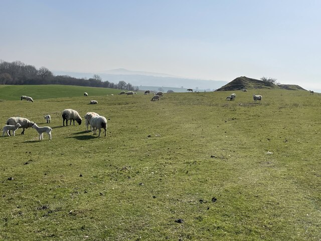
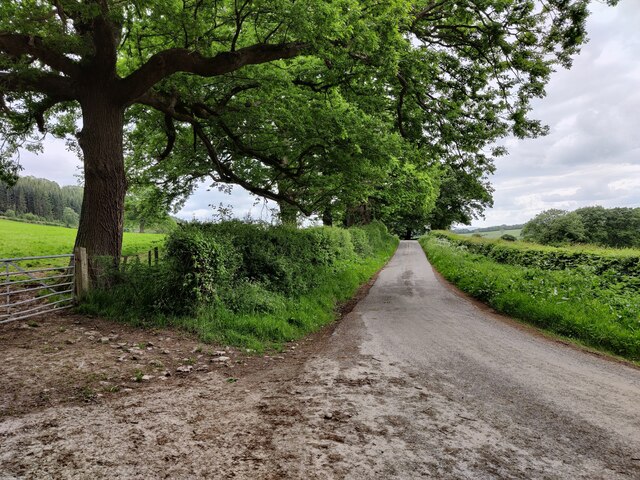
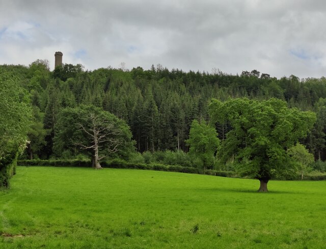
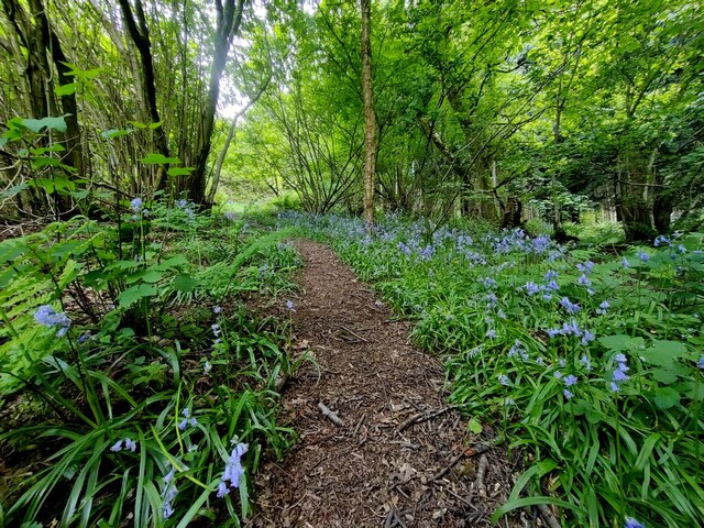
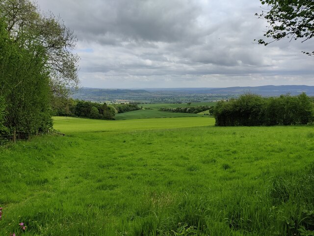
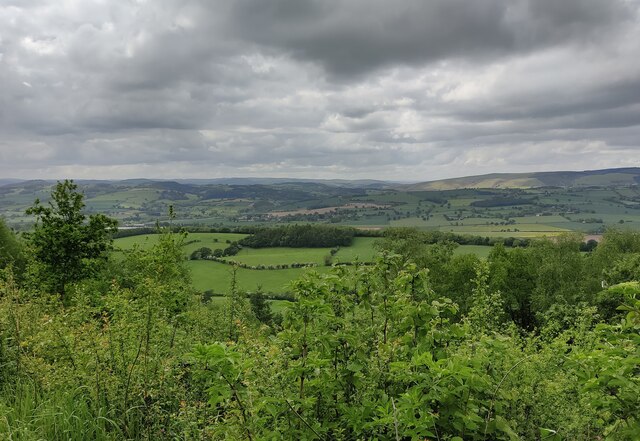
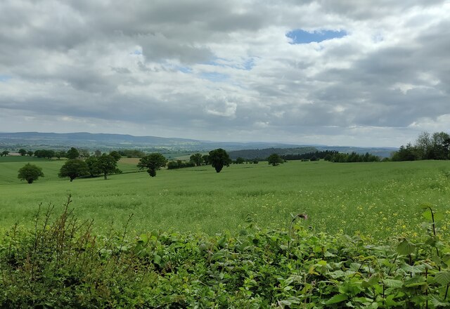
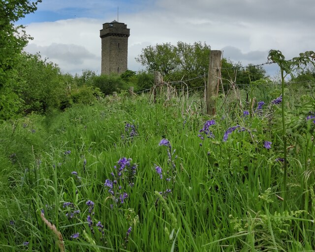
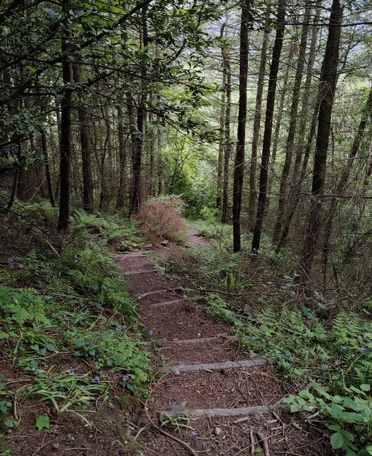
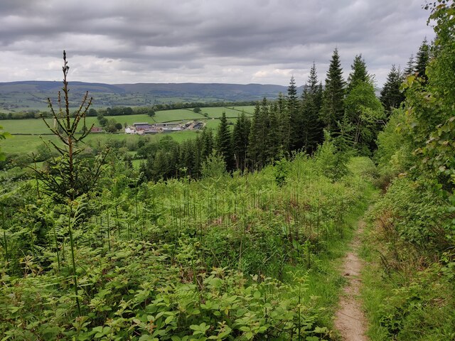
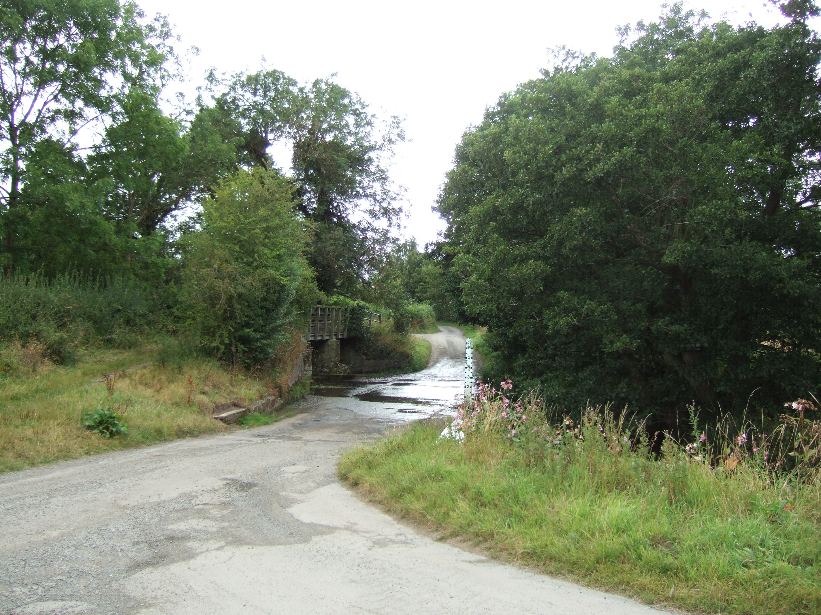
Ash Beds is a woodland area located in the county of Shropshire in England. Spread across a vast expanse, the forest is known for its dense growth of ash trees, which give the area its name. Ash Beds is situated in a picturesque location, nestled amidst rolling hills and meandering streams, creating a serene and tranquil environment.
The woodland is home to a rich variety of flora and fauna, with an abundance of wildlife thriving within its boundaries. The dense canopy of ash trees provides shelter and nesting sites for numerous bird species, including woodpeckers, owls, and various songbirds. Small mammals such as squirrels, rabbits, and foxes are also commonly spotted within the forest.
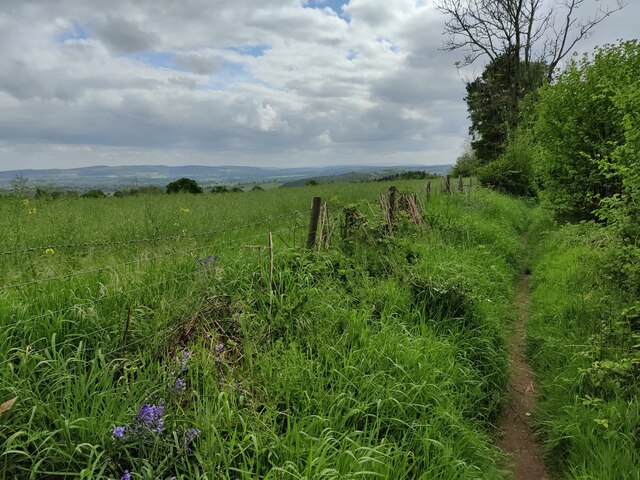
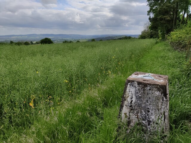
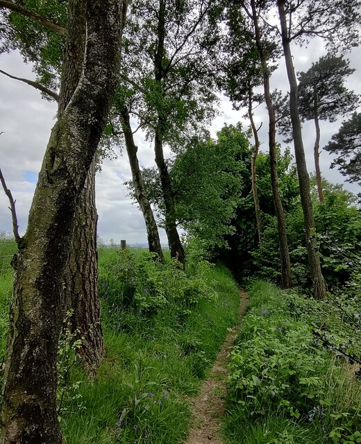
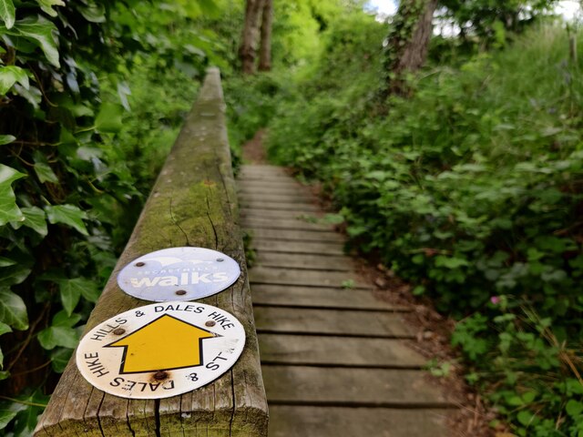
Ash Beds offers an ideal setting for nature enthusiasts and outdoor adventurers. There are several well-maintained walking trails that wind through the woodland, allowing visitors to explore its natural beauty at their own pace. The forest also provides ample opportunities for birdwatching, photography, and picnicking.
In addition to its natural attractions, Ash Beds holds historical significance. It is believed that the woodland has existed for centuries, with remnants of ancient settlements and archaeological findings discovered in the area. These historical elements add a layer of intrigue and fascination to the already captivating landscape.
Overall, Ash Beds in Shropshire is a haven for those seeking solace in nature. With its lush ash trees, diverse wildlife, and scenic trails, the woodland offers a memorable experience for visitors of all ages.
If you have any feedback on the listing, please let us know in the comments section below.
Ash Beds Images
Images are sourced within 2km of 52.46028/-2.7976964 or Grid Reference SO4585. Thanks to Geograph Open Source API. All images are credited.
Ash Beds is located at Grid Ref: SO4585 (Lat: 52.46028, Lng: -2.7976964)
Unitary Authority: Shropshire
Police Authority: West Mercia
What 3 Words
///decorate.prefer.intention. Near Craven Arms, Shropshire
Nearby Locations
Related Wikis

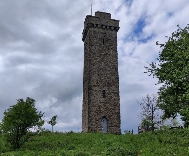
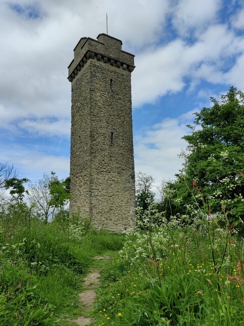
Flounders' Folly
Flounders' Folly is a tower, built in 1838, on Callow Hill, near Craven Arms at the western end of Wenlock Edge in Shropshire, England. The tower is approximately...

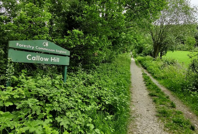
Callow Hill, Shropshire
Callow Hill is a hill near the village of Lower Dinchope between Craven Arms and Ludlow in the English county of Shropshire. Its summit marks the highest...
Strefford
Strefford is a historic hamlet in Shropshire, England. It lies in the civil parish of Wistanstow and is situated just off the A49 road 2 miles (3.2 km...

Upper Affcot
Upper Affcot is a hamlet in Shropshire, England. It is located on the A49 north of Craven Arms and south of Church Stretton, between the hamlets of Strefford...
Nearby Amenities
Located within 500m of 52.46028,-2.7976964Have you been to Ash Beds?
Leave your review of Ash Beds below (or comments, questions and feedback).