Long Bottom Coppice
Wood, Forest in Dorset
England
Long Bottom Coppice
Long Bottom Coppice, located in the picturesque county of Dorset in southwestern England, is a charming woodland area that covers approximately 50 acres. This ancient woodland is a true haven for nature enthusiasts and those seeking a peaceful escape from the bustling urban life.
The coppice is predominantly made up of deciduous trees such as oak, beech, and ash, which create a dense and lush canopy during the summer months. The forest floor is adorned with a rich variety of wildflowers, including bluebells, primroses, and wood anemones, adding bursts of vibrant colors to the landscape.
Long Bottom Coppice is home to a diverse range of wildlife, including a plethora of bird species such as woodpeckers, owls, and various songbirds. The woodland is also frequented by small mammals like rabbits, squirrels, and occasionally, deer. With its tranquil atmosphere and abundance of natural resources, the coppice provides an ideal habitat for these creatures to thrive.
Visitors to Long Bottom Coppice can explore the area through a network of well-maintained footpaths, allowing them to immerse themselves in the beauty of nature. The woodland also offers opportunities for recreational activities such as walking, birdwatching, and photography.
Managed by local conservation organizations, Long Bottom Coppice is carefully protected to maintain its ecological integrity and promote sustainable woodland management practices. It serves as a valuable educational resource, offering guided walks and workshops to raise awareness about the importance of preserving and appreciating natural environments.
Long Bottom Coppice, with its enchanting beauty and rich biodiversity, is a true gem of Dorset, attracting nature lovers and outdoor enthusiasts from far and wide.
If you have any feedback on the listing, please let us know in the comments section below.
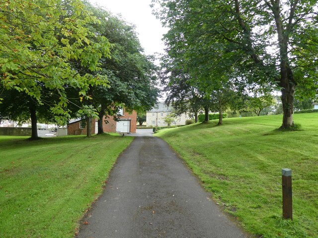
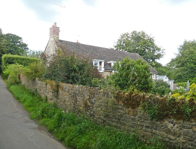
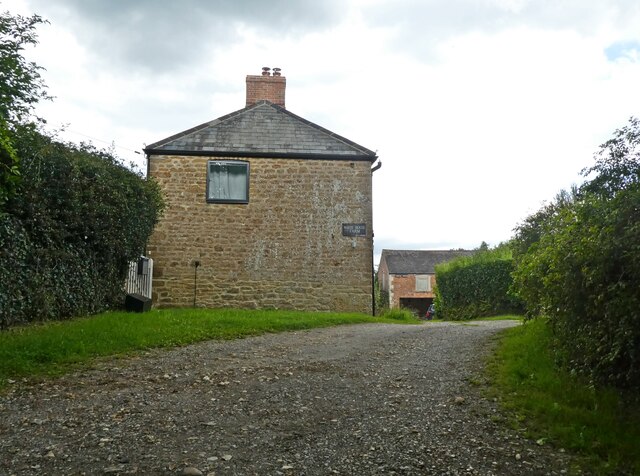
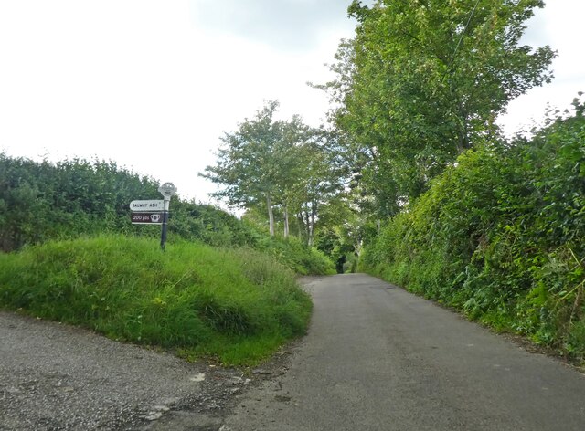
Long Bottom Coppice Images
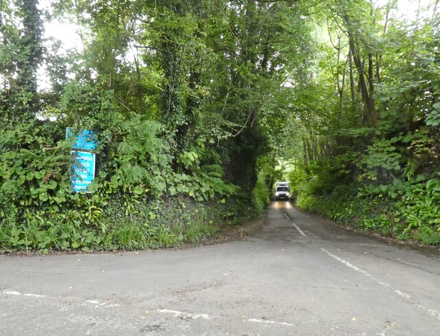
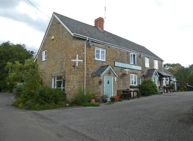
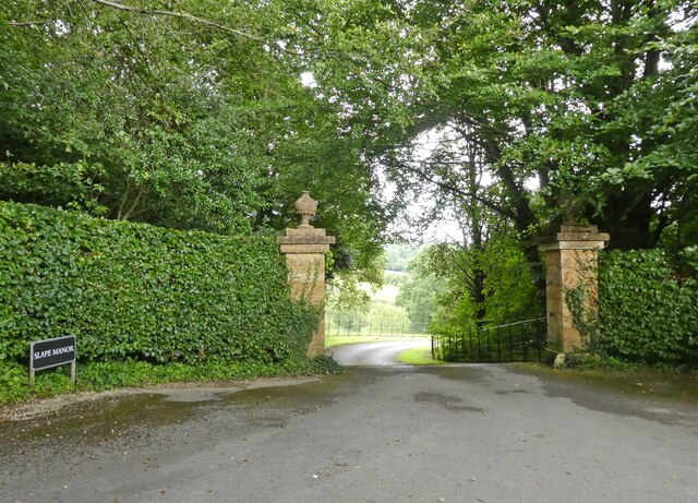
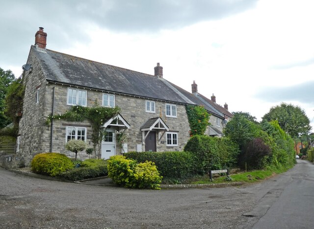
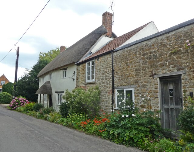
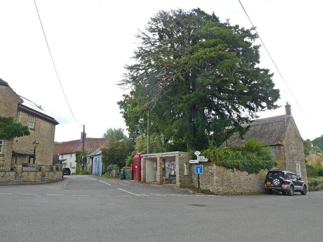
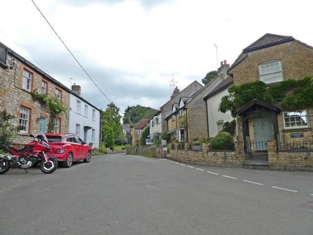
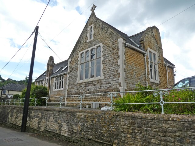
Images are sourced within 2km of 50.777737/-2.7687342 or Grid Reference SY4597. Thanks to Geograph Open Source API. All images are credited.
Long Bottom Coppice is located at Grid Ref: SY4597 (Lat: 50.777737, Lng: -2.7687342)
Unitary Authority: Dorset
Police Authority: Dorset
What 3 Words
///escapades.soulful.fury. Near Beaminster, Dorset
Nearby Locations
Related Wikis

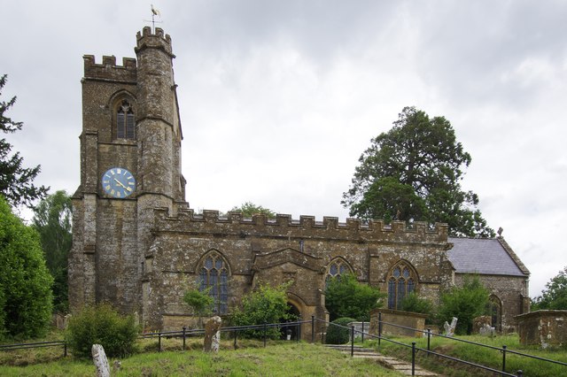
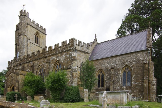
Holy Trinity Church, Salway Ash
Holy Trinity Church is a Church of England church in Salway Ash, Dorset, England. The church was designed by George Crickmay and built in 1887–89. It now...

Salway Ash
Salway Ash (also spelt Salwayash) is a village in Dorset, England. Holy Trinity Church was built there in 1887–89. == References ==

Oxbridge, Dorset
Oxbridge is a hamlet in the English county of Dorset. It lies on the River Brit between Bridport and Beaminster. == External links == Map sources for...

Netherbury
Netherbury is a village and civil parish in the English county of Dorset. It lies within the Dorset Council administrative area, by the small River Brit...
Nearby Amenities
Located within 500m of 50.777737,-2.7687342Have you been to Long Bottom Coppice?
Leave your review of Long Bottom Coppice below (or comments, questions and feedback).