Mountjoy Wood

Wood, Forest in Westmorland South Lakeland

England

Mountjoy Wood

Cottage at Fallen Yew, Underbarrow Numerous farm cats were lurking nearby!
Cottage at Fallen Yew, Underbarrow Credit: Karl and Ali

Mountjoy Wood is a picturesque forest located in the county of Westmorland, England. Covering an area of approximately 100 acres, it is a well-preserved woodland that attracts nature enthusiasts and hikers alike.

The wood is characterized by its diverse range of tree species, including oak, ash, beech, and birch. These majestic trees create a canopy, providing a cool and shaded environment even on hot summer days. The forest floor is covered in a thick carpet of moss and ferns, adding to its enchanting atmosphere.

Mountjoy Wood is home to a variety of wildlife, making it a haven for nature lovers. Birdwatchers can spot numerous species of birds, such as woodpeckers, owls, and warblers. The wood is also inhabited by small mammals like squirrels, rabbits, and foxes. If lucky, visitors may even catch a glimpse of a deer or badger.

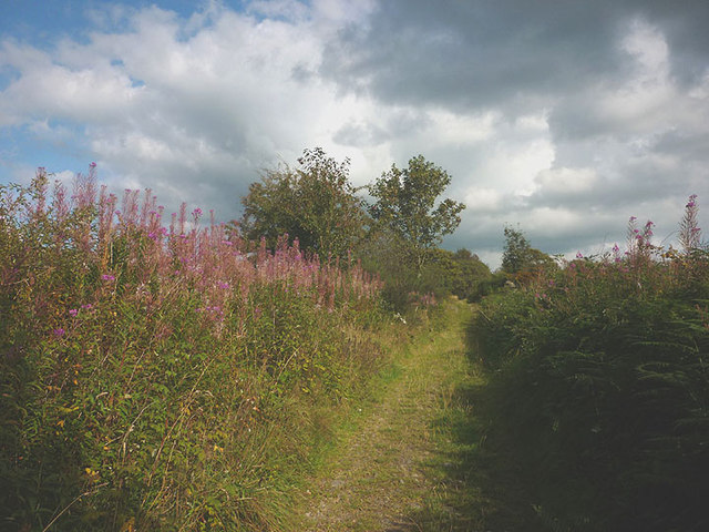
The wood offers several walking trails, allowing visitors to explore its beauty at their own pace. These well-maintained paths wind through the forest, offering stunning views and opportunities for peaceful solitude. The trails are suitable for all ages and abilities, making Mountjoy Wood a popular destination for families and individuals seeking a tranquil escape from the hustle and bustle of everyday life.

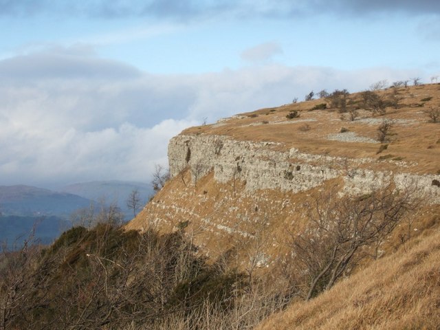
In addition to its natural beauty, Mountjoy Wood also holds historical significance. It is believed to have been part of a medieval hunting ground, and remnants of ancient fortifications can still be found within its boundaries.

Overall, Mountjoy Wood is a captivating destination that offers a harmonious blend of nature and history. Whether for a leisurely stroll, birdwatching, or simply to immerse oneself in the peaceful surroundings, this woodland provides a truly memorable experience.

If you have any feedback on the listing, please let us know in the comments section below.

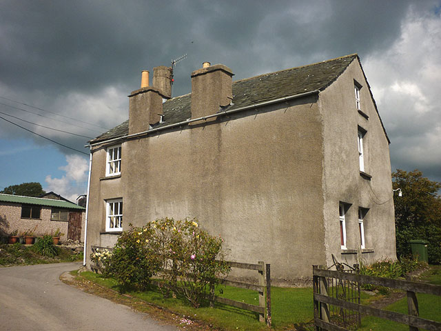
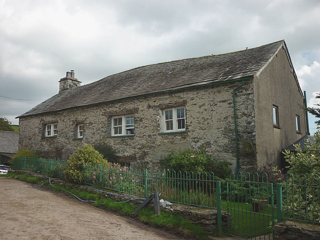
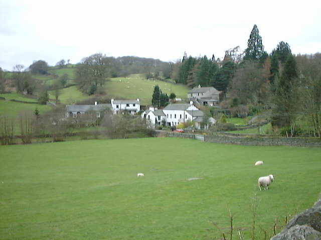
Mountjoy Wood Images

Images are sourced within 2km of 54.329749/-2.8332838 or Grid Reference SD4593. Thanks to Geograph Open Source API. All images are credited.

Cottage at Fallen Yew, Underbarrow Numerous farm cats were lurking nearby!
Cottage at Fallen Yew, Underbarrow
Numerous farm cats were lurking nearby!
Giant vegetables at Fallen Yew A couple of gigantic marrows loitering by the footpath. Not something you see every day.
Giant vegetables at Fallen Yew
A couple of gigantic marrows loitering by the footpath. Not something you see every day.
Wide hedge on Blakehowe Hill, Underbarrow The footpath over the hill passes close to this extraordinarily wide hedge. The remnants of a drystone wall concealed within.
Wide hedge on Blakehowe Hill, Underbarrow
The footpath over the hill passes close to this extraordinarily wide hedge. The remnants of a drystone wall concealed within.
Tranthwaite Hall A typically sturdy Lakeland stone farmhouse which is Grade II listed <span class="nowrap"><a title="http://www.britishlistedbuildings.co.uk/en-75316-tranthwaite-hall-farmhouse-underbarrow-an" rel="nofollow ugc noopener" href="http://www.britishlistedbuildings.co.uk/en-75316-tranthwaite-hall-farmhouse-underbarrow-an">Link</a><img style="margin-left:2px;" alt="External link" title="External link - shift click to open in new window" src="https://s1.geograph.org.uk/img/external.png" width="10" height="10"/></span>
Tranthwaite Hall
A typically sturdy Lakeland stone farmhouse which is Grade II listed LinkExternal link
Tiny clapper bridge above Tranthwaite Hall Two slabs of limestone span the un-named beck which runs along the eastern flank of Bell Hill. Sadly, it would appear that Himalayan balsam is starting to take hold in this stream course. I pulled up a few specimens near the ford and bridleway above but the amount just upstream would require a determined group effort to tackle now.
Tiny clapper bridge above Tranthwaite Hall
Two slabs of limestone span the un-named beck which runs along the eastern flank of Bell Hill. Sadly, it would appear that Himalayan balsam is starting to take hold in this stream course. I pulled up a few specimens near the ford and bridleway above but the amount just upstream would require a determined group effort to tackle now.
Bridleway north of Bell Hill A very pleasant walled track lined by rosebay willowherb and lots of juicy blackberries.
Bridleway north of Bell Hill
A very pleasant walled track lined by rosebay willowherb and lots of juicy blackberries.
Lindreth Brow A white cottage in a secluded spot by the side of the bridleway which skirts south of Bell Hill.
Lindreth Brow
A white cottage in a secluded spot by the side of the bridleway which skirts south of Bell Hill.
Well near Lindreth Brow Beside the bridleway but no sign of water today.
Well near Lindreth Brow
Beside the bridleway but no sign of water today.
Bridleway south of Lindreth Brow The track emerges from woodland and enters more open pastureland.
Bridleway south of Lindreth Brow
The track emerges from woodland and enters more open pastureland.
Pastures and walls by Chapel Lane, Underbarrow Looking towards the white cottage at Mountjoy and Mountjoy Wood.
Pastures and walls by Chapel Lane, Underbarrow
Looking towards the white cottage at Mountjoy and Mountjoy Wood.
Cattle grazing by Chapel Lane, Underbarrow Beyond is the white cottage at Mountjoy.
Cattle grazing by Chapel Lane, Underbarrow
Beyond is the white cottage at Mountjoy.
The vaulted ceiling, All Saints Church, Underbarrow This is the eastern end of the church. I had to lie on the floor to get this view.
The vaulted ceiling, All Saints Church, Underbarrow
This is the eastern end of the church. I had to lie on the floor to get this view.
Wind vane and spire of All Saints Church, Underbarrow On a beautiful September afternoon.
Wind vane and spire of All Saints Church, Underbarrow
On a beautiful September afternoon.
Helicopter at The Broom A recently-arrived helicopter below <a href="https://www.geograph.org.uk/photo/2936950">SD4592 : Barn at The Broom</a> which now looks to have been converted to a dwelling since 2012.
Helicopter at The Broom
A recently-arrived helicopter below SD4592 : Barn at The Broom which now looks to have been converted to a dwelling since 2012.
Pastureland near Blakebank, Underbarrow Quiet, rolling pastureland with hedges, walls and wooded slopes. Northwards are the low fells above the lower reaches of Kentmere. This is not the tourist hub of Lakeland.
Pastureland near Blakebank, Underbarrow
Quiet, rolling pastureland with hedges, walls and wooded slopes. Northwards are the low fells above the lower reaches of Kentmere. This is not the tourist hub of Lakeland.
All Saints Church, Underbarrow There's a touch of the Thunderbird 3's about that spire?
All Saints Church, Underbarrow
There's a touch of the Thunderbird 3's about that spire?
Sheep passing through a gate near Crook Hall A group of Rough Fell ewes changing fields. Beyond, are the cottages and farm at Crook Hall. On the skyline are the fells above Kentmere.
Sheep passing through a gate near Crook Hall
A group of Rough Fell ewes changing fields. Beyond, are the cottages and farm at Crook Hall. On the skyline are the fells above Kentmere.
Track to Crook Hall The path through Crook Hall is flanked by two stone pillars topped with fierce lions. The effect is such as to completely demoralise the traveller, thinking what awful fate awaits within?
Track to Crook Hall
The path through Crook Hall is flanked by two stone pillars topped with fierce lions. The effect is such as to completely demoralise the traveller, thinking what awful fate awaits within?
Show me another place!

Mountjoy Wood is located at Grid Ref: SD4593 (Lat: 54.329749, Lng: -2.8332838)

Administrative County: Cumbria

District: South Lakeland

Police Authority: Cumbria

What 3 Words

///blueberry.voters.usage. Near Staveley, Cumbria

Nearby Locations

Mountjoy Wood

Related Wikis

Underbarrow

Underbarrow is a small village in Cumbria, England, located 3 miles (4.8 km) west of Kendal. The village is in the Lake District National Park. It is in...

Crook, Cumbria

Crook is a village and civil parish in the South Lakeland district of the English county of Cumbria, located on the B5284 road between Kendal and Windermere...

Crosthwaite

Crosthwaite is a small village located in the Parish of Crosthwaite and Lyth, South Lakeland, Cumbria, England. It is in the Lake District National Park...

Scout Scar

Scout Scar, also called Underbarrow Scar, is a hill in the English Lake District, west of Kendal, Cumbria and above the village of Underbarrow. It reaches...

Nearby Amenities

Located within 500m of 54.329749,-2.8332838
Barrier: stile
Lat/Long: 54.3285513/-2.826808
Barrier: stile
Lat/Long: 54.327971/-2.8351513
Barrier: stile
Lat/Long: 54.3275624/-2.8356026
Mount Joy Farm South Fold
Artist Name: Andy Goldsworthy
Artwork Type: installation
Tourism: artwork
Website: http://www.sheepfoldscumbria.co.uk/html/info/info05.htm
Lat/Long: 54.332926/-2.8321219
Mount Joy Farm North Fold
Artist Name: Andy Goldsworthy
Artwork Type: installation
Tourism: artwork
Website: http://www.sheepfoldscumbria.co.uk/html/info/info05.htm
Lat/Long: 54.3341963/-2.8326451
Power: pole
Lat/Long: 54.3283746/-2.8263695
Power: pole
Lat/Long: 54.3275499/-2.8268857
Power: pole
Lat/Long: 54.3273334/-2.8283319
Power: pole
Lat/Long: 54.3271369/-2.8295926
Power: pole
Lat/Long: 54.3269988/-2.8304821
Power: pole
Lat/Long: 54.3266356/-2.8325234
Power: pole
Lat/Long: 54.3260596/-2.8328562
The data included in this document is from www.openstreetmap.org. The data is made available under ODbL.

Have you been to Mountjoy Wood?

Leave your review of Mountjoy Wood below (or comments, questions and feedback).