Colthay Coppice
Wood, Forest in Dorset
England
Colthay Coppice
Colthay Coppice, located in the county of Dorset in England, is a beautiful wood or forest area that offers a serene escape from the hustle and bustle of modern life. With its lush greenery and diverse flora and fauna, it is a haven for nature lovers and outdoor enthusiasts.
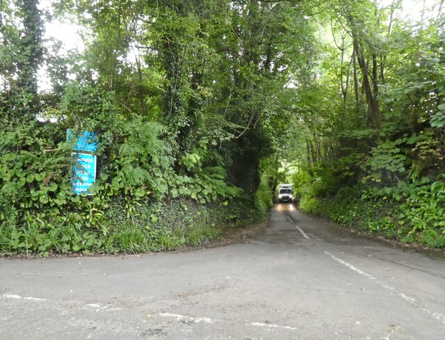
Covering an area of approximately 200 acres, Colthay Coppice is characterized by its dense woodland, tall trees, and meandering paths. It is home to a variety of tree species including oak, beech, and ash, which provide a rich canopy that filters sunlight and creates a tranquil ambiance. The forest floor is adorned with vibrant wildflowers, ferns, and mosses, adding to its natural beauty.
The wood is crisscrossed by a network of well-maintained footpaths, allowing visitors to explore and immerse themselves in its peaceful surroundings. These paths wind through the forest, leading to hidden clearings, babbling brooks, and stunning viewpoints. The sounds of birds chirping and leaves rustling in the wind create a symphony of nature that enhances the overall experience.
Colthay Coppice is also home to a diverse range of wildlife. Visitors may spot various species of birds, including woodpeckers, robins, and owls, as well as small mammals like foxes, rabbits, and squirrels. Rare and protected species such as dormice and bats are also known to inhabit the area.
Whether it's a leisurely walk, a picnic amidst nature, or birdwatching, Colthay Coppice offers a tranquil retreat for those seeking solace in the natural world. Its untouched beauty and peaceful atmosphere make it a true gem of Dorset's countryside.
If you have any feedback on the listing, please let us know in the comments section below.
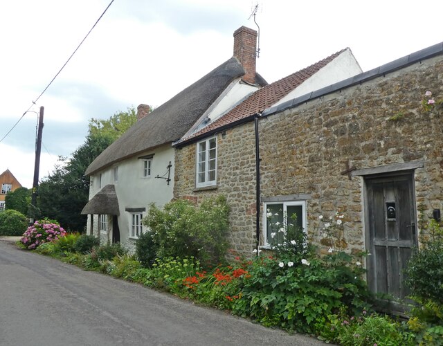
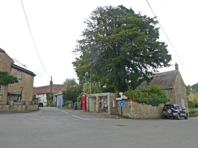
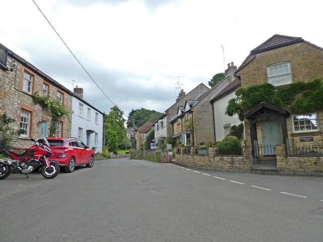
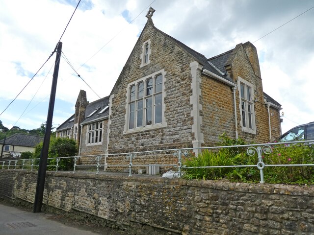
Colthay Coppice Images
Images are sourced within 2km of 50.783855/-2.7778138 or Grid Reference SY4598. Thanks to Geograph Open Source API. All images are credited.
Colthay Coppice is located at Grid Ref: SY4598 (Lat: 50.783855, Lng: -2.7778138)
Unitary Authority: Dorset
Police Authority: Dorset
What 3 Words
///tamed.uplifting.sailing. Near Beaminster, Dorset
Nearby Locations
Related Wikis

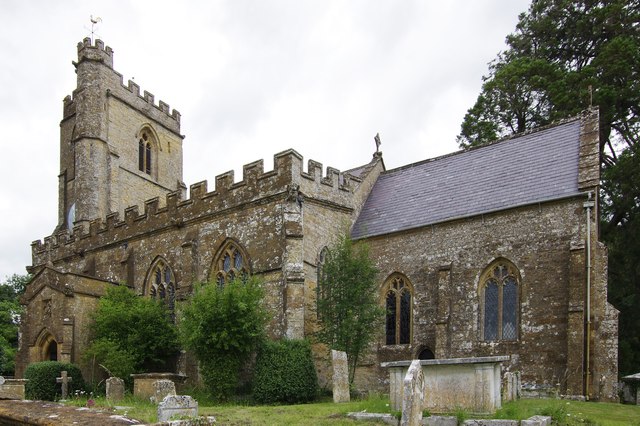
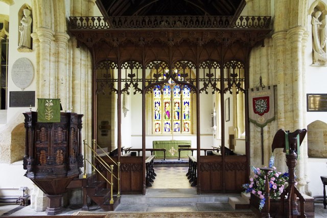
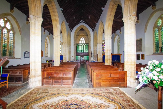
Holy Trinity Church, Salway Ash
Holy Trinity Church is a Church of England church in Salway Ash, Dorset, England. The church was designed by George Crickmay and built in 1887–89. It now...

Salway Ash
Salway Ash (also spelt Salwayash) is a village in Dorset, England. Holy Trinity Church was built there in 1887–89. == References ==

Netherbury
Netherbury is a village and civil parish in the English county of Dorset. It lies within the Dorset Council administrative area, by the small River Brit...

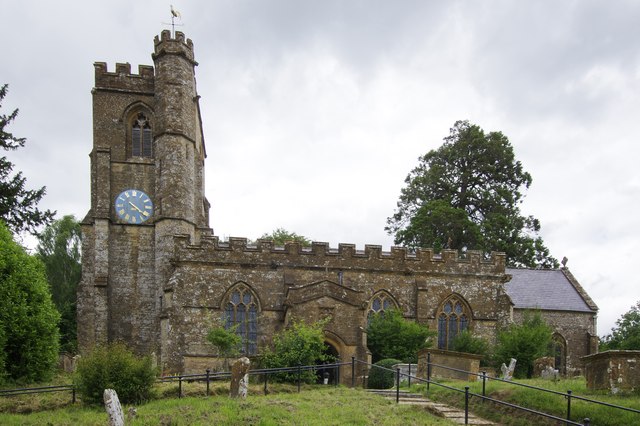
Stoke Abbott
Stoke Abbott is a village and civil parish in west Dorset, England, 2 miles (3.2 km) west of Beaminster. In 2013 the estimated population of the parish...

Oxbridge, Dorset
Oxbridge is a hamlet in the English county of Dorset. It lies on the River Brit between Bridport and Beaminster. == External links == Map sources for...

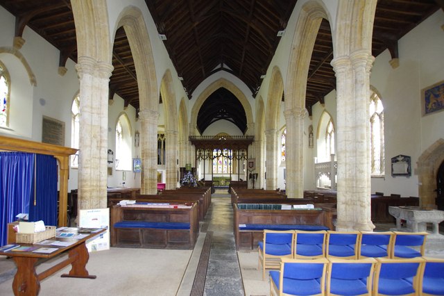
St Paul's Church, Broadoak
St Paul's Church is a Church of England church in Broadoak, Dorset, England. It was designed by Thomas Talbot Bury and built in 1865–66. The church has...

Parnham House
Parnham House is a sixteenth-century Grade I listed house located about 1 mile (1.6 km) from Beaminster in Dorset, England. Historic England describes...

Waddon Hill
Waddon Hill is a hill and the site of an old Roman fort near Beaminster, in the English county of Dorset. The name Waddon is from the Old English meaning...
Nearby Amenities
Located within 500m of 50.783855,-2.7778138Have you been to Colthay Coppice?
Leave your review of Colthay Coppice below (or comments, questions and feedback).