Furleigh Cross

Settlement in Dorset

England

Furleigh Cross

Hare and Hounds, Waytown
Hare and Hounds, Waytown Credit: Roger Cornfoot

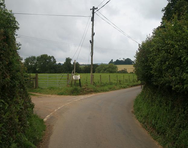
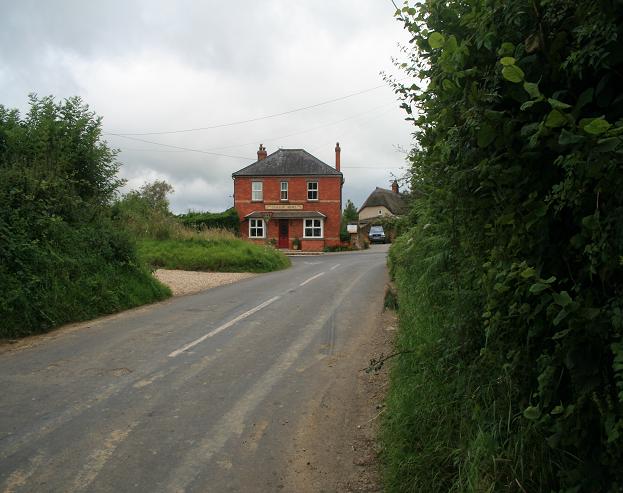
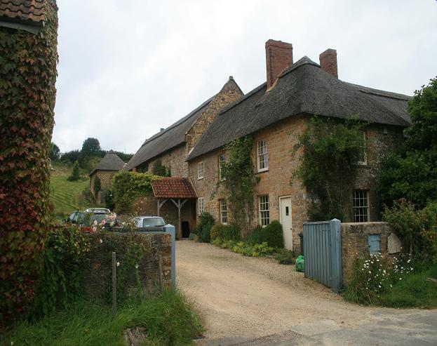
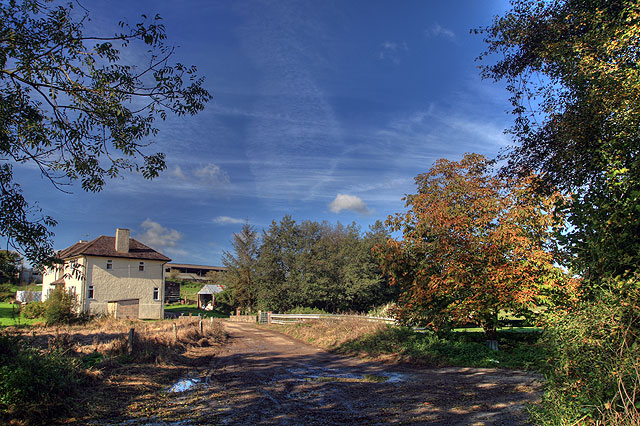
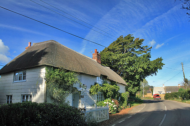
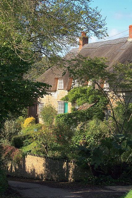
Furleigh Cross is a small rural hamlet located in the county of Dorset, England. Situated near the town of Bridport, it is nestled in the beautiful countryside of the Marshwood Vale, renowned for its rolling hills, meandering streams, and picturesque landscapes.

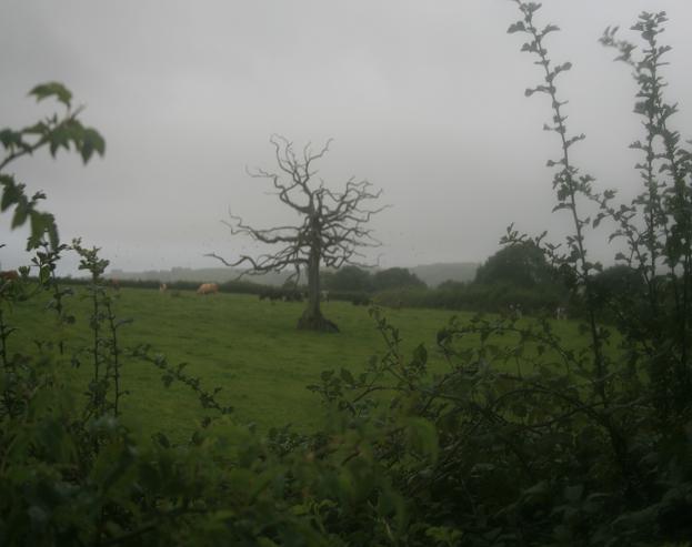
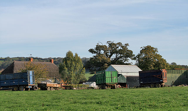
The hamlet consists of a few scattered houses and cottages, surrounded by fertile farmland and green fields. The area is predominantly agricultural, with farming being the primary occupation of its residents. The local community is known for its close-knit and friendly atmosphere, with a strong sense of community spirit.

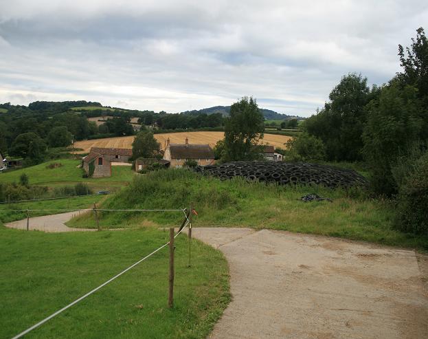
Despite its small size, Furleigh Cross is home to a few notable landmarks. One such landmark is Furleigh Estate, a renowned vineyard that produces award-winning English sparkling wines. The vineyard offers tours and tastings, allowing visitors to learn about the winemaking process while enjoying the stunning views of the surrounding countryside.

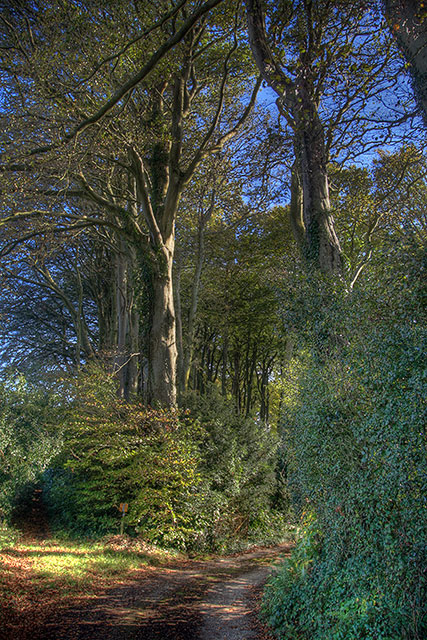
Nature enthusiasts will find plenty to explore in the vicinity of Furleigh Cross. The nearby Marshwood Trails offer a network of footpaths and bridleways, allowing hikers, cyclists, and horse riders to discover the area's beautiful scenery. The hamlet is also close to the Jurassic Coast, a UNESCO World Heritage Site known for its stunning cliffs, fossil-rich beaches, and scenic coastal walks.

Overall, Furleigh Cross is a tranquil and idyllic countryside hamlet, offering a peaceful escape from the hustle and bustle of city life. With its charming rural setting, friendly community, and natural beauty, it is a hidden gem in the heart of Dorset.

If you have any feedback on the listing, please let us know in the comments section below.

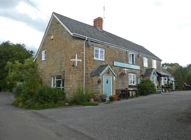
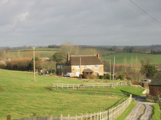
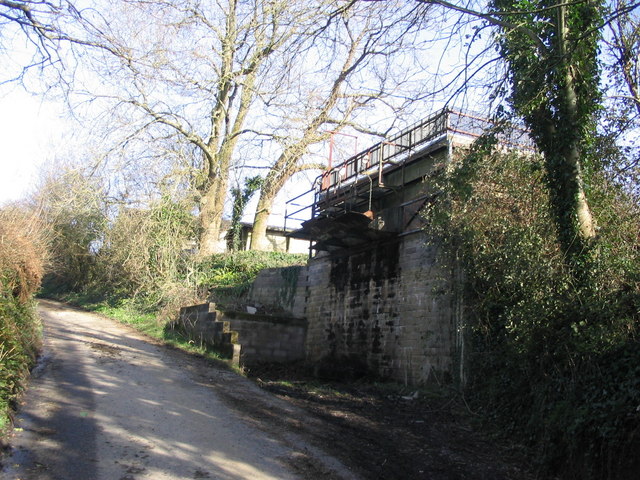
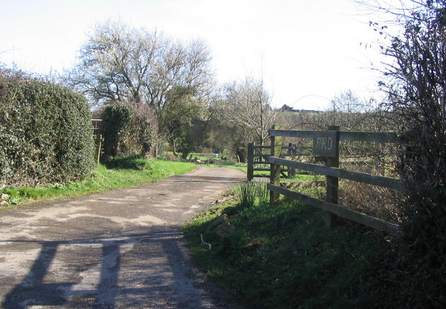
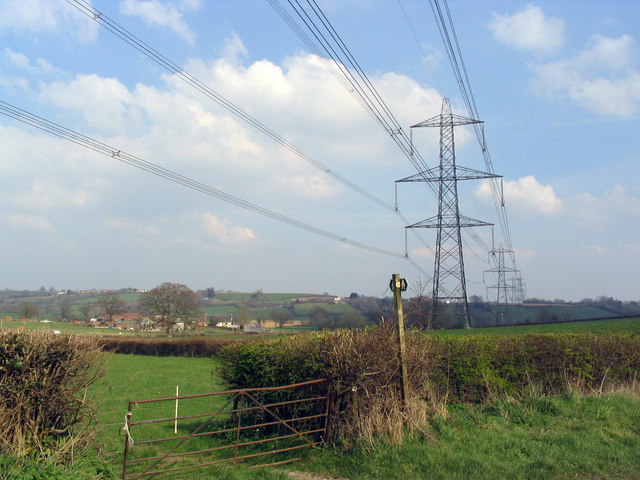
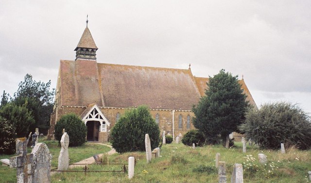
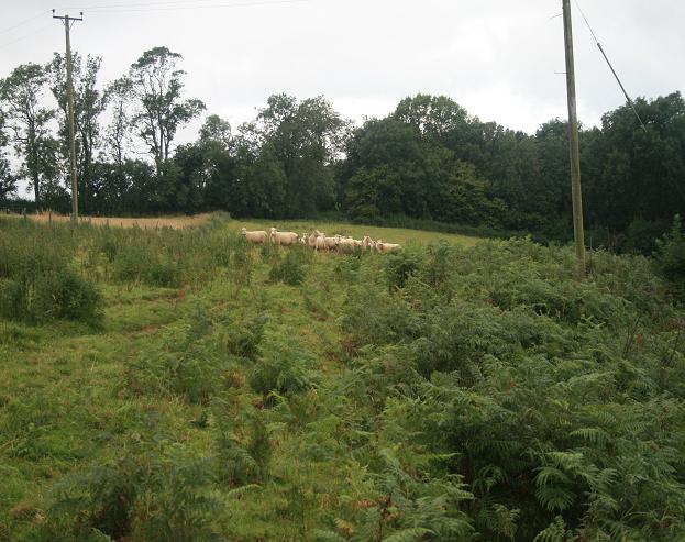
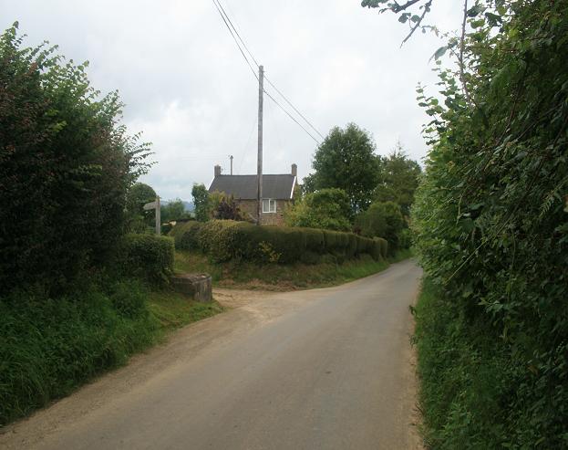
Furleigh Cross Images

Images are sourced within 2km of 50.778956/-2.7814629 or Grid Reference SY4598. Thanks to Geograph Open Source API. All images are credited.

Hare and Hounds, Waytown
Brinsham Farm, Salwayash
Farm loading bay between Waytown & Salwayash This solidly-built stone structure appears to be some sort of loading bay for farm produce. Presumably a vehicle would pull into the lay-by and produce would be dropped through the hoppers into the back. The land at the top of the embankment is shown on the map as an orchard, but I can't see this loading method being very kind to fruit. Anybody know more about this?
Farm loading bay between Waytown & Salwayash
This solidly-built stone structure appears to be some sort of loading bay for farm produce. Presumably a vehicle would pull into the lay-by and produce would be dropped through the hoppers into the back. The land at the top of the embankment is shown on the map as an orchard, but I can't see this loading method being very kind to fruit. Anybody know more about this?
Entrance to Higher Ford Farm This is the entrance track leading to Higher Ford Farm, SY465967. The sign just says 'FORD', and the river bridge a little further down the road looks fairly new and may have replaced a ford crossing.
Entrance to Higher Ford Farm
This is the entrance track leading to Higher Ford Farm, SY465967. The sign just says 'FORD', and the river bridge a little further down the road looks fairly new and may have replaced a ford crossing.
Bidlake Farm and more pylons A view from the road between Broadoak and Atrim towards Bidlake Farm. A public footpath crosses the road at this point.
Bidlake Farm and more pylons
A view from the road between Broadoak and Atrim towards Bidlake Farm. A public footpath crosses the road at this point.
Salway Ash (or Salwayash): church of the Holy Trinity
Sheep in bracken The view of sheep in bracken to the west of the footpath behind Bottle Cottage.
Sheep in bracken
The view of sheep in bracken to the west of the footpath behind Bottle Cottage.
Bottle Cottage Looking north east towards Bottle Cottage.  Notice the concrete milk stand, where the farmer used to leave the churns of milk ready for picking up for transportation to the dairy.  The demands of improved hygiene, through quick chilling, and bulk tank transporters means that milkk stands are no longer used.
Bottle Cottage
Looking north east towards Bottle Cottage. Notice the concrete milk stand, where the farmer used to leave the churns of milk ready for picking up for transportation to the dairy. The demands of improved hygiene, through quick chilling, and bulk tank transporters means that milkk stands are no longer used.
Road junction From the road between Netherbury and South Bowood, the road to the left goes to Silkhay and Hingsdon Farms
Road junction
From the road between Netherbury and South Bowood, the road to the left goes to Silkhay and Hingsdon Farms
Gollop Arms The Gollop Arms, South Bowood on the B3162 as viewed from the east
Gollop Arms
The Gollop Arms, South Bowood on the B3162 as viewed from the east
Silkhay Farm Looking north west to Silkhay Farm.  The tyres and plastic sheeting provide a covering for the heap of silage, which will provide feed for cattle during the winter.
Silkhay Farm
Looking north west to Silkhay Farm. The tyres and plastic sheeting provide a covering for the heap of silage, which will provide feed for cattle during the winter.
A dead tree at Monkwood Farm
Strode Manor Farm
Strode Manor Farm
North Bowood
North Bowood
Entrance to Strode Manor There appears to be no public access to the manor: this is as far as you can legally approach.
Entrance to Strode Manor
There appears to be no public access to the manor: this is as far as you can legally approach.
Dunster Farm Seen from the main road to Broadoak.
Dunster Farm
Seen from the main road to Broadoak.
South Bowood A Picture-Postcard cottage.
South Bowood
A Picture-Postcard cottage.
Show me another place!

Furleigh Cross is located at Grid Ref: SY4598 (Lat: 50.778956, Lng: -2.7814629)

Unitary Authority: Dorset

Police Authority: Dorset

What 3 Words

///flicked.fatherly.foil. Near Beaminster, Dorset

Related Wikis

Holy Trinity Church, Salway Ash

Holy Trinity Church is a Church of England church in Salway Ash, Dorset, England. The church was designed by George Crickmay and built in 1887–89. It now...

Salway Ash

Salway Ash (also spelt Salwayash) is a village in Dorset, England. Holy Trinity Church was built there in 1887–89. == References ==

St Paul's Church, Broadoak

St Paul's Church is a Church of England church in Broadoak, Dorset, England. It was designed by Thomas Talbot Bury and built in 1865–66. The church has...

Netherbury

Netherbury is a village and civil parish in the English county of Dorset. It lies within the Dorset Council administrative area, by the small River Brit...

Oxbridge, Dorset

Oxbridge is a hamlet in the English county of Dorset. It lies on the River Brit between Bridport and Beaminster. == External links == Map sources for...

Stoke Abbott

Stoke Abbott is a village and civil parish in west Dorset, England, 2 miles (3.2 km) west of Beaminster. In 2013 the estimated population of the parish...

St Saviour's Church, Dottery

St Saviour's Church is a Church of England church in Dottery, Dorset, England. Erected in 1881–82, the corrugated iron church (Tin tabernacle) is the only...

Atrim

Atrim is a small village in Dorset, England, just north of the large town, Bridport. It is situated on the River Simene. The nearest village is Dottery...

Nearby Amenities

Located within 500m of 50.778956,-2.7814629
Furleigh Cross
Is In: Dorset, England, UK
Place: locality
Lat/Long: 50.7801161/-2.7776536
The data included in this document is from www.openstreetmap.org. The data is made available under ODbL.

Have you been to Furleigh Cross?

Leave your review of Furleigh Cross below (or comments, questions and feedback).