Strode, Lower
Settlement in Dorset
England
Strode, Lower
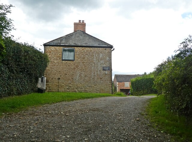
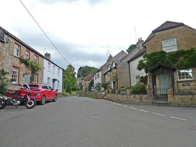
Strode is a small village located in the county of Dorset, which is situated in the southwest region of England. It falls within the administrative district of West Dorset and is part of the civil parish of Lower Wraxall. The village is nestled amidst the picturesque countryside, offering residents and visitors a tranquil and scenic environment.
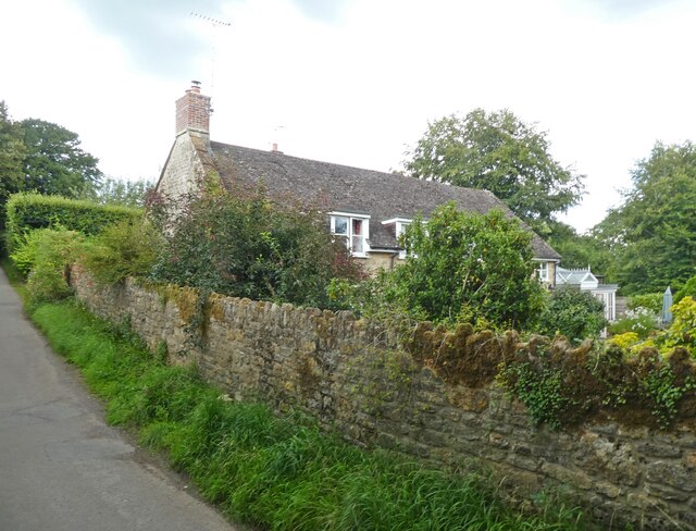
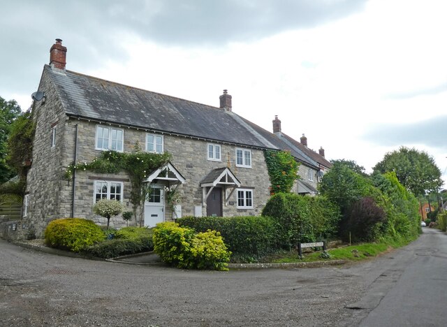
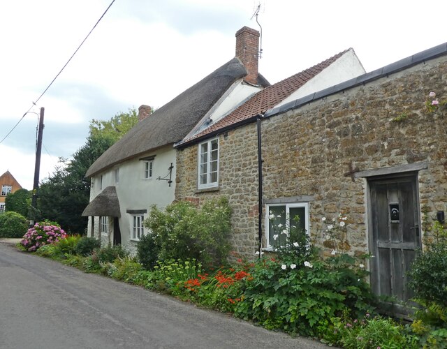
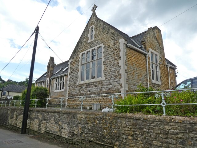
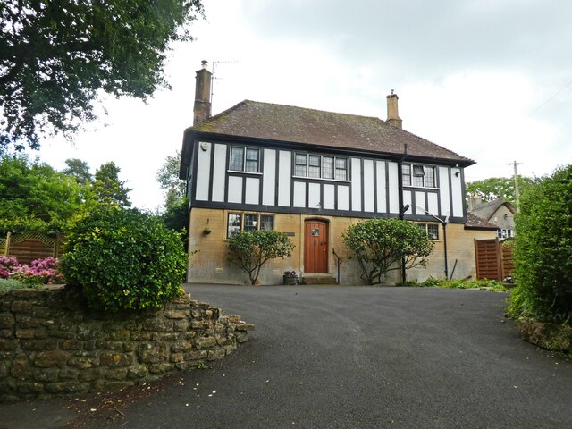
Strode is primarily a residential area, with a population of around 100 residents. The village consists of a handful of houses, most of which are traditional stone cottages that add to its rustic charm. The community in Strode is close-knit, fostering a friendly and welcoming atmosphere.
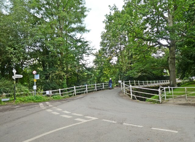
Although Strode is a relatively small village, it benefits from its proximity to nearby towns and amenities. The larger village of Yetminster is just a short distance away, providing residents with access to essential services such as shops, schools, and healthcare facilities. The surrounding area also offers ample opportunities for outdoor activities, including walking, cycling, and exploring the beautiful Dorset countryside.
Strode's location in Dorset also places it within reach of several notable attractions. The historic town of Sherborne, known for its medieval abbey and castle, is a popular destination for visitors and can be easily reached from Strode. Additionally, the stunning Jurassic Coast, a UNESCO World Heritage Site, is within driving distance, offering breathtaking coastal views and opportunities for fossil hunting.
In summary, Strode is a charming and peaceful village in Lower Dorset. It provides residents with a close-knit community and access to nearby amenities, as well as the opportunity to explore the beautiful countryside and nearby attractions.
If you have any feedback on the listing, please let us know in the comments section below.
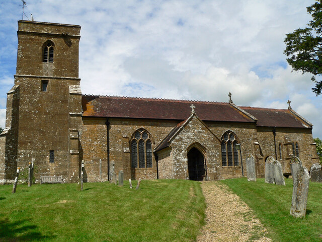
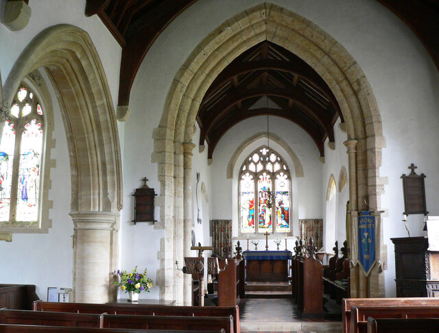
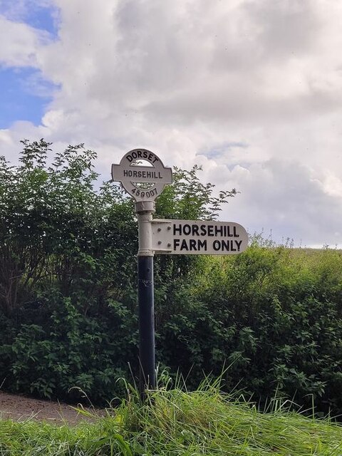
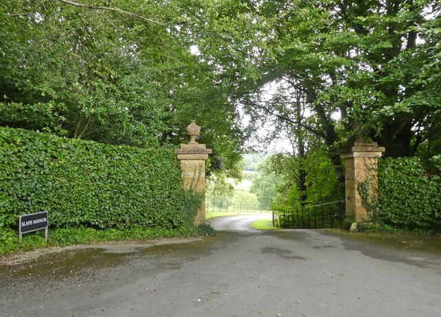
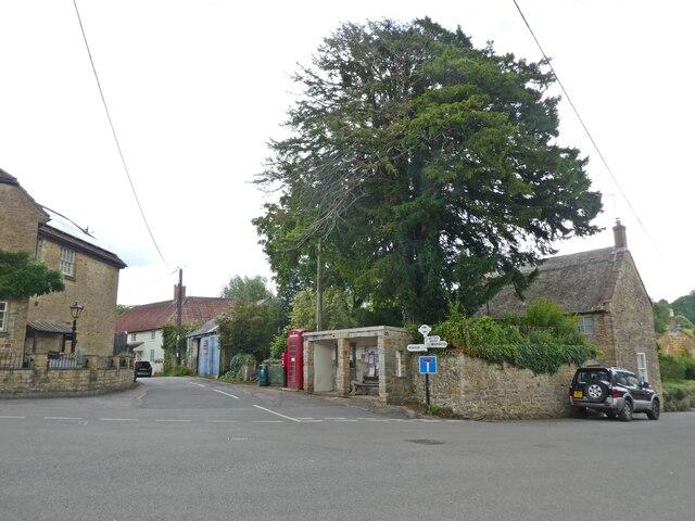
Strode, Lower Images
Images are sourced within 2km of 50.786239/-2.769427 or Grid Reference SY4598. Thanks to Geograph Open Source API. All images are credited.
Strode, Lower is located at Grid Ref: SY4598 (Lat: 50.786239, Lng: -2.769427)
Unitary Authority: Dorset
Police Authority: Dorset
What 3 Words
///grading.rewrites.remembers. Near Beaminster, Dorset
Related Wikis

Netherbury
Netherbury is a village and civil parish in the English county of Dorset. It lies within the Dorset Council administrative area, by the small River Brit...

Holy Trinity Church, Salway Ash
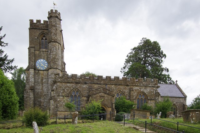
Holy Trinity Church is a Church of England church in Salway Ash, Dorset, England. The church was designed by George Crickmay and built in 1887–89. It now...

Stoke Abbott
Stoke Abbott is a village and civil parish in west Dorset, England, 2 miles (3.2 km) west of Beaminster. In 2013 the estimated population of the parish...

Oxbridge, Dorset
Oxbridge is a hamlet in the English county of Dorset. It lies on the River Brit between Bridport and Beaminster. == External links == Map sources for...

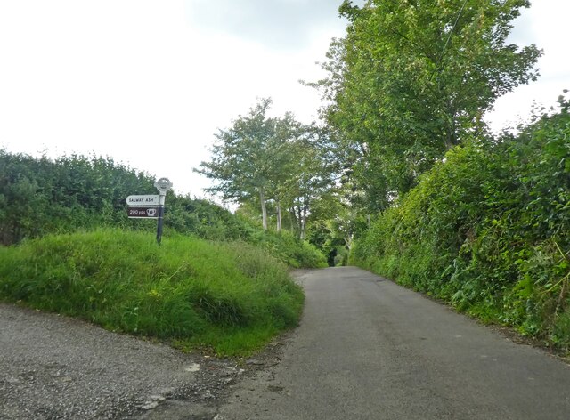
Salway Ash
Salway Ash (also spelt Salwayash) is a village in Dorset, England. Holy Trinity Church was built there in 1887–89. == References ==

Parnham House
Parnham House is a sixteenth-century Grade I listed house located about 1 mile (1.6 km) from Beaminster in Dorset, England. Historic England describes...

Melplash
Melplash is a village in western Dorset, England. It is situated on the A3066 road 3 miles (4.8 km) north of Bridport and 2 miles (3.2 km) south of Beaminster...
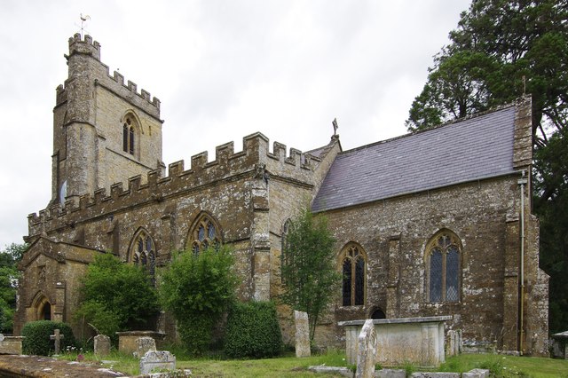
Christ Church, Melplash
Christ Church is a Church of England church in Melplash, Dorset, England. It was built in 1845–46 to the designs of Benjamin Ferrey and has been a Grade...
Related Videos

WALKS IN DORSET at MELPLASH & NETHERBURY (4K)
In this episode of my series “ Walks in Dorset” I explore around the villages of Melplash & Netherbury – located about 3 miles ...

Finishing the Wessex Ridgeway Part 3: Dinner on Lewesdon Hill | Macaroni Cheese | Vosne-Romanée
Part of my two day walk to finish the Wessex Ridgeway. After an early evening pint at the Red Lion in Beaminster I headed back ...
![South of England | Europe 2023 Travel Vlog [CC]](https://i.ytimg.com/vi/aEKhLpBoRa4/hqdefault.jpg)
South of England | Europe 2023 Travel Vlog [CC]
In which Chad and I travel around the Dorset area while visiting Joey, Peter, and their pups. Joey's Music: @JoeyClarksonMusic ...
Lewesdon Hill, Historic County Top of Dorset.
Part of our historic county top series and day 2 of our 10 day tour of the South-West of England. MUSIC: Cryin In My Beer by ...
Have you been to Strode, Lower?
Leave your review of Strode, Lower below (or comments, questions and feedback).