Furley
Settlement in Devon East Devon
England
Furley
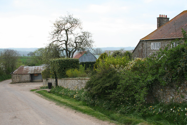
Furley is a small village located in the county of Devon, in the southwestern part of England. Situated amidst the rolling hills and picturesque countryside, Furley offers a tranquil and idyllic setting for its residents and visitors alike.
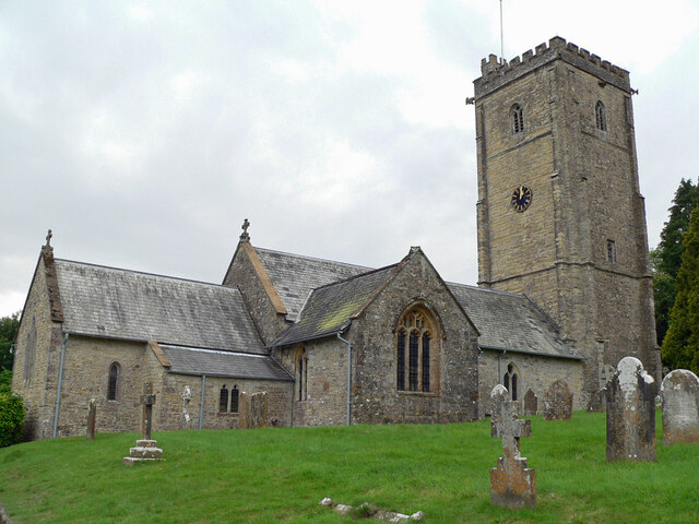
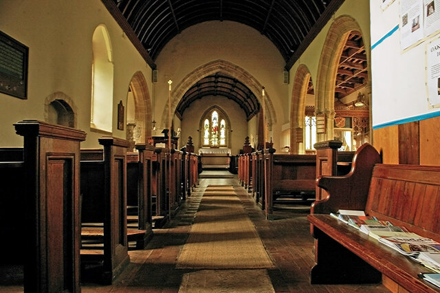
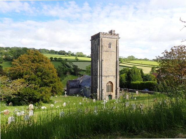
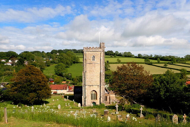
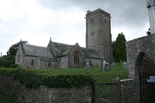
The village is known for its charming and traditional architecture, with many of its buildings dating back several centuries. The local church, St. Mary's, is a prominent landmark, showcasing beautiful gothic-style architecture and serving as a focal point for community events.
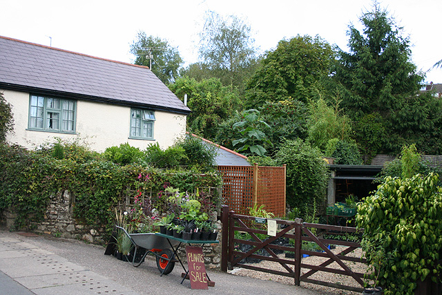
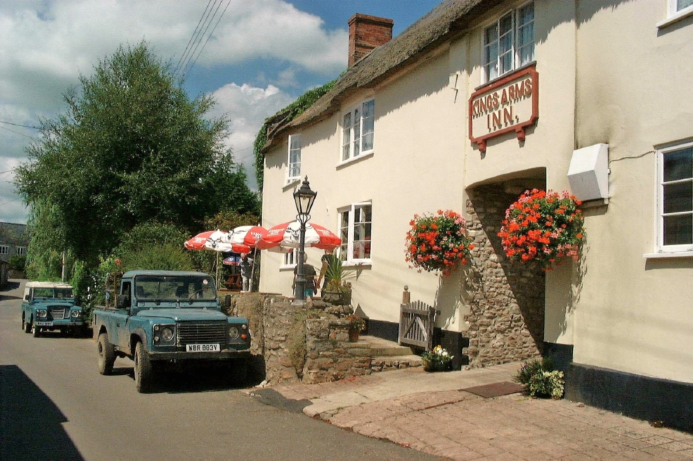
Despite its small size, Furley offers a range of amenities and services to cater to its residents' needs. The village boasts a local pub, The Furley Arms, which is a popular gathering spot for locals and tourists alike, offering a friendly atmosphere and traditional British cuisine.
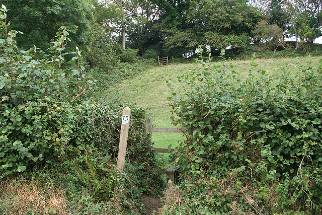
Nature enthusiasts will find plenty to explore in the surrounding area, as Furley is surrounded by lush green fields, meandering rivers, and scenic walking trails. The nearby Dartmoor National Park provides opportunities for outdoor activities such as hiking, cycling, and horseback riding, allowing residents to connect with nature and enjoy the stunning landscapes.
Furley has a close-knit community that takes pride in its local events and traditions. Annual village fairs and festivals, such as the Furley Summer Fair and the Harvest Festival, bring the community together and celebrate the village's heritage.
With its peaceful ambiance, beautiful surroundings, and strong sense of community, Furley is an enchanting village that offers an escape from the hustle and bustle of city life, making it a hidden gem in the heart of Devon.
If you have any feedback on the listing, please let us know in the comments section below.
Furley Images
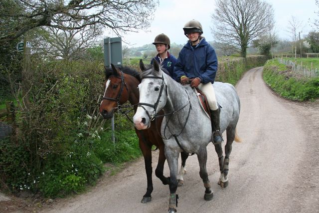
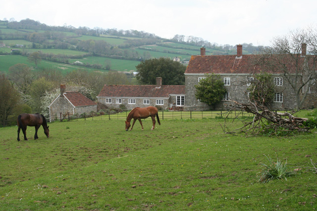
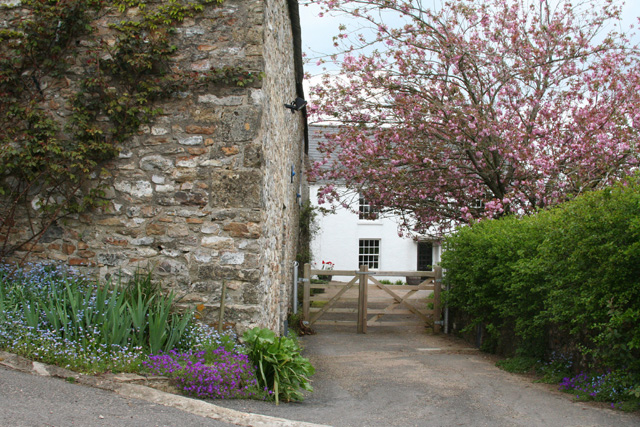
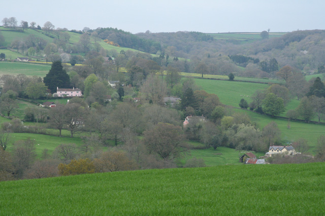
Images are sourced within 2km of 50.834441/-3.038753 or Grid Reference ST2604. Thanks to Geograph Open Source API. All images are credited.
![Membury: nearing Waterhouse Farm On the public footpath from Case Bridge. Looking south-south-east. The farmhouse dates from the 16th century, according to W G Hoskins [W G Hoskins, Devon, Devon Books, 1992]](https://s3.geograph.org.uk/photos/16/15/161519_4574f6ed.jpg)


Furley is located at Grid Ref: ST2604 (Lat: 50.834441, Lng: -3.038753)
Administrative County: Devon
District: East Devon
Police Authority: Devon and Cornwall
What 3 Words
///tallest.earlobes.lizard. Near Axminster, Devon
Nearby Locations
Related Wikis
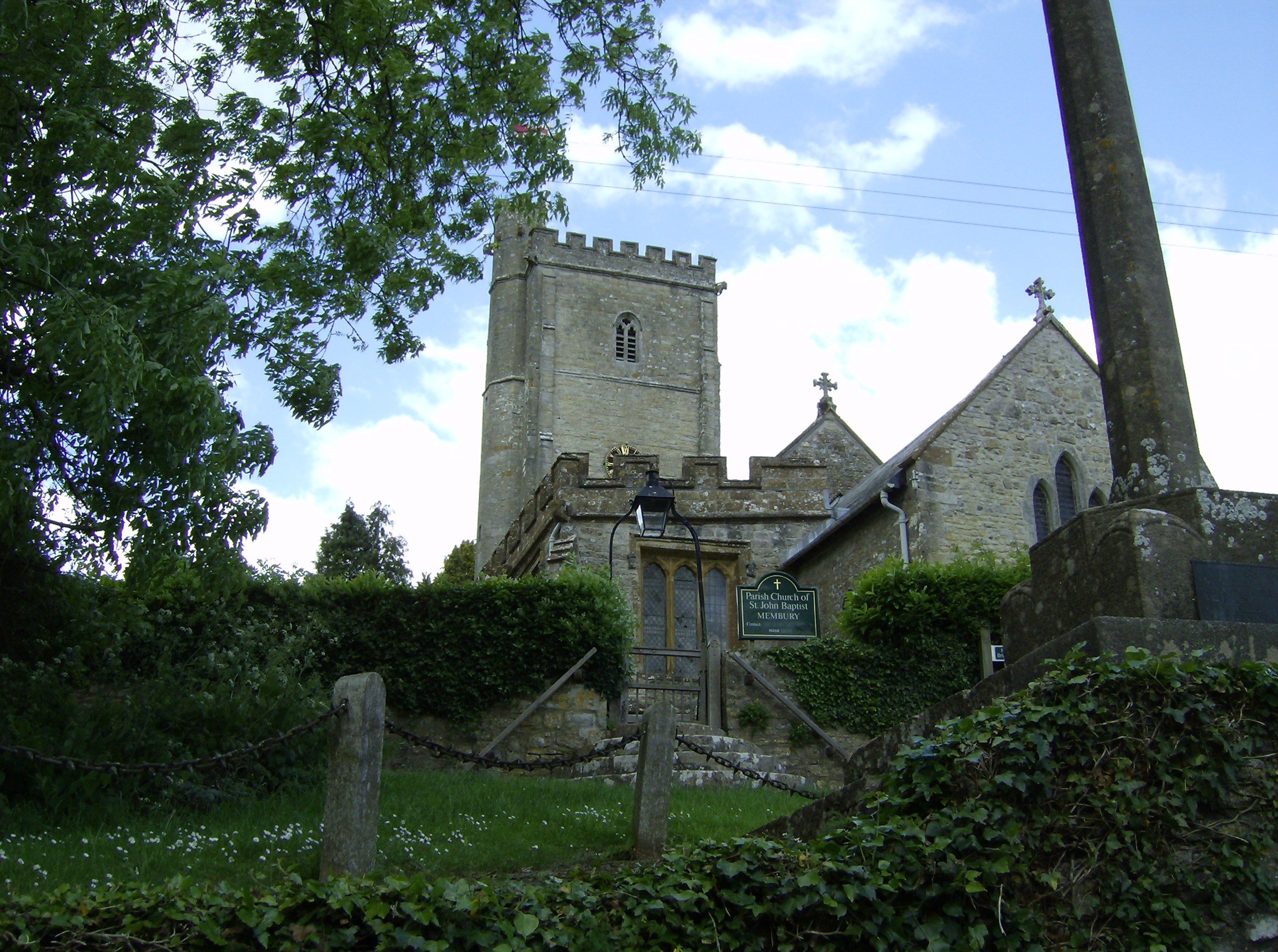
Membury, Devon
Membury is a village three miles north west of Axminster in East Devon district. The population at the 2011 Census was 501. The village has a 13th-century...

Membury Castle
Membury Castle is an Iron Age hillfort situated above the village of Membury in Devon. The fort occupies a commanding hilltop position some 204 metres...
Stockland, Devon
Stockland is a village and civil parish in Devon, close to the Somerset boundary. The parish is surrounded clockwise from the north by the parishes of...

Holy City, Devon
Holy City is a hamlet in the parish of Chardstock, East Devon, England. It is approximately 5 miles (8.0 km) due north of the town of Axminster, and 4...
Nearby Amenities
Located within 500m of 50.834441,-3.038753Have you been to Furley?
Leave your review of Furley below (or comments, questions and feedback).