Moor Copse

Wood, Forest in Devon East Devon

England

Moor Copse

Membury: approaching Case Bridge Case Bridge, out of shot, is a crossing of the river Yarty. Ahead the lane leads to Membury village. Looking north west
Membury: approaching Case Bridge Credit: Martin Bodman

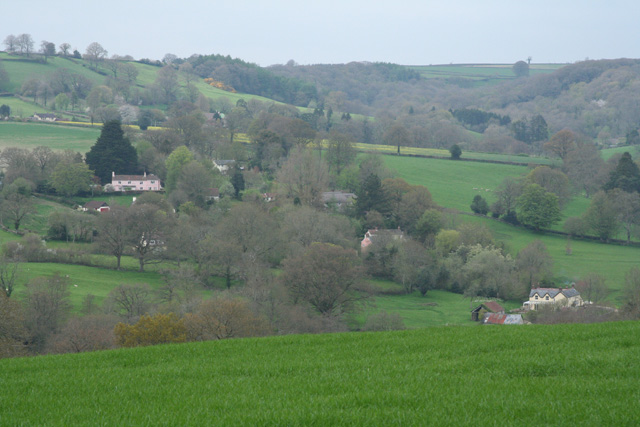
Moor Copse is a beautiful woodland located in Devon, England. Spanning an area of approximately 200 acres, it is known for its rich biodiversity and stunning natural scenery. The copse is situated in the heart of Devon, surrounded by rolling hills and picturesque countryside.

Characterized by its dense tree cover and vibrant undergrowth, Moor Copse is primarily composed of native deciduous species such as oak, beech, and birch. These trees provide a vital habitat for a wide range of wildlife, including numerous bird species, small mammals, and insects.

The copse is crisscrossed by a network of walking trails, which allow visitors to explore the area and immerse themselves in nature. The paths wind through the woodland, offering glimpses of hidden clearings, babbling brooks, and small ponds. Along the way, visitors may encounter various flora and fauna, such as bluebells, wild garlic, and butterflies.

Moor Copse is also home to a diverse array of birdlife. Birdwatchers flock to the copse to catch a glimpse of species such as woodpeckers, nuthatches, and warblers. The tranquil environment of the copse provides an ideal setting for observing and appreciating these fascinating creatures.

Managed by a local conservation organization, Moor Copse is dedicated to preserving and enhancing the natural environment. Regular maintenance and conservation efforts ensure that the copse remains a haven for wildlife and a delight for visitors. Whether it's for a peaceful walk, birdwatching, or simply enjoying the serenity of nature, Moor Copse offers an unforgettable experience for all who venture into its leafy embrace.

If you have any feedback on the listing, please let us know in the comments section below.

Moor Copse Images

Images are sourced within 2km of 50.837021/-3.0447332 or Grid Reference ST2604. Thanks to Geograph Open Source API. All images are credited.
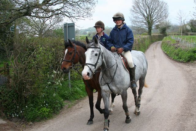
Membury: approaching Case Bridge Case Bridge, out of shot, is a crossing of the river Yarty. Ahead the lane leads to Membury village. Looking north west
Membury: approaching Case Bridge
Case Bridge, out of shot, is a crossing of the river Yarty. Ahead the lane leads to Membury village. Looking north west
Membury: nearing Waterhouse Farm On the public footpath from Case Bridge. Looking south-south-east. The farmhouse dates from the 16th century, according to W G Hoskins [W G Hoskins, Devon, Devon Books, 1992]
Membury: nearing Waterhouse Farm
On the public footpath from Case Bridge. Looking south-south-east. The farmhouse dates from the 16th century, according to W G Hoskins [W G Hoskins, Devon, Devon Books, 1992]
Membury: towards Furley By the lane from Furley Cross. View towards Furley hamlet, which stands in a side valley of the Yarty, above Membury Court
Membury: towards Furley
By the lane from Furley Cross. View towards Furley hamlet, which stands in a side valley of the Yarty, above Membury Court
Membury: by Challenger Farm Looking west-south-west on the lane to Furley Cross
Membury: by Challenger Farm
Looking west-south-west on the lane to Furley Cross
Chardstock: The Half Moon The road from Membury to Chard is here known as the Half Moon. It is thought by some that the name derives from a now vanished stone setting or circle. Looking north east
Chardstock: The Half Moon
The road from Membury to Chard is here known as the Half Moon. It is thought by some that the name derives from a now vanished stone setting or circle. Looking north east
Stockland: the Yarty valley Looking east-south-east near Trimshayes Farm
Stockland: the Yarty valley
Looking east-south-east near Trimshayes Farm
Membury: former inn at Long Bridge Now a private house, this was formerly the Longbridge Inn and the sign still stands across the road. It was listed as a pub by CAMRA in 1993 when it featured a restaurant and two skittle alleys. There are now two bridges nearby: one over the Yarty and a second over another watercourse, possibly an old leat or tail race or flood channel
Membury: former inn at Long Bridge
Now a private house, this was formerly the Longbridge Inn and the sign still stands across the road. It was listed as a pub by CAMRA in 1993 when it featured a restaurant and two skittle alleys. There are now two bridges nearby: one over the Yarty and a second over another watercourse, possibly an old leat or tail race or flood channel
Membury: sign on Long Bridge Membury is now a Devon parish but was clearly in Dorset during the reign of George IV. The cast-iron sign on the crossing of the Yarty has survived from that period. Looking north
Membury: sign on Long Bridge
Membury is now a Devon parish but was clearly in Dorset during the reign of George IV. The cast-iron sign on the crossing of the Yarty has survived from that period. Looking north
Membury: the Yarty valley Looking west across the valley, a little south of Stockland village
Membury: the Yarty valley
Looking west across the valley, a little south of Stockland village
Membury: the Yarty valley Looking south west in the direction of Beacon Hill
Membury: the Yarty valley
Looking south west in the direction of Beacon Hill
Membury: Osmore Farm Looking north west
Membury: Osmore Farm
Looking north west
Membury: Osmore Farm Looking west to the Yarty valley by the farm entrance
Membury: Osmore Farm
Looking west to the Yarty valley by the farm entrance
Membury: Goodlands, Furley Thatch and hedge near Hook Cross, looking east-south-east. In the valley of a Yarty tributary
Membury: Goodlands, Furley
Thatch and hedge near Hook Cross, looking east-south-east. In the valley of a Yarty tributary
Membury: telephone box at Furley By Hook Cross, looking north east
Membury: telephone box at Furley
By Hook Cross, looking north east
Osmore Farm Photograph taken from the walled garden just above the farmhouse. The building is Grade II listed and originally dates back to the 14th century
Osmore Farm
Photograph taken from the walled garden just above the farmhouse. The building is Grade II listed and originally dates back to the 14th century
Osmore Farm Photograph taken from field above the farm buildings, looking North West across the Yarty valley.
Osmore Farm
Photograph taken from field above the farm buildings, looking North West across the Yarty valley.
Lane and stream North of Ford house in a lovely secluded valley in east Devon.
Lane and stream
North of Ford house in a lovely secluded valley in east Devon.
Godworthy Farm Perched on top of a hill in east Devon; the farm is reached from the south by this scenic lane starting at <a href="https://www.geograph.org.uk/photo/366544">ST2705 : Lane and stream</a>.
Godworthy Farm
Perched on top of a hill in east Devon; the farm is reached from the south by this scenic lane starting at ST2705 : Lane and stream.
Show me another place!

Moor Copse is located at Grid Ref: ST2604 (Lat: 50.837021, Lng: -3.0447332)

Administrative County: Devon

District: East Devon

Police Authority: Devon and Cornwall

What 3 Words

///canoe.drill.headset. Near Axminster, Devon

Related Wikis

Stockland, Devon

Stockland is a village and civil parish in Devon, close to the Somerset boundary. The parish is surrounded clockwise from the north by the parishes of...
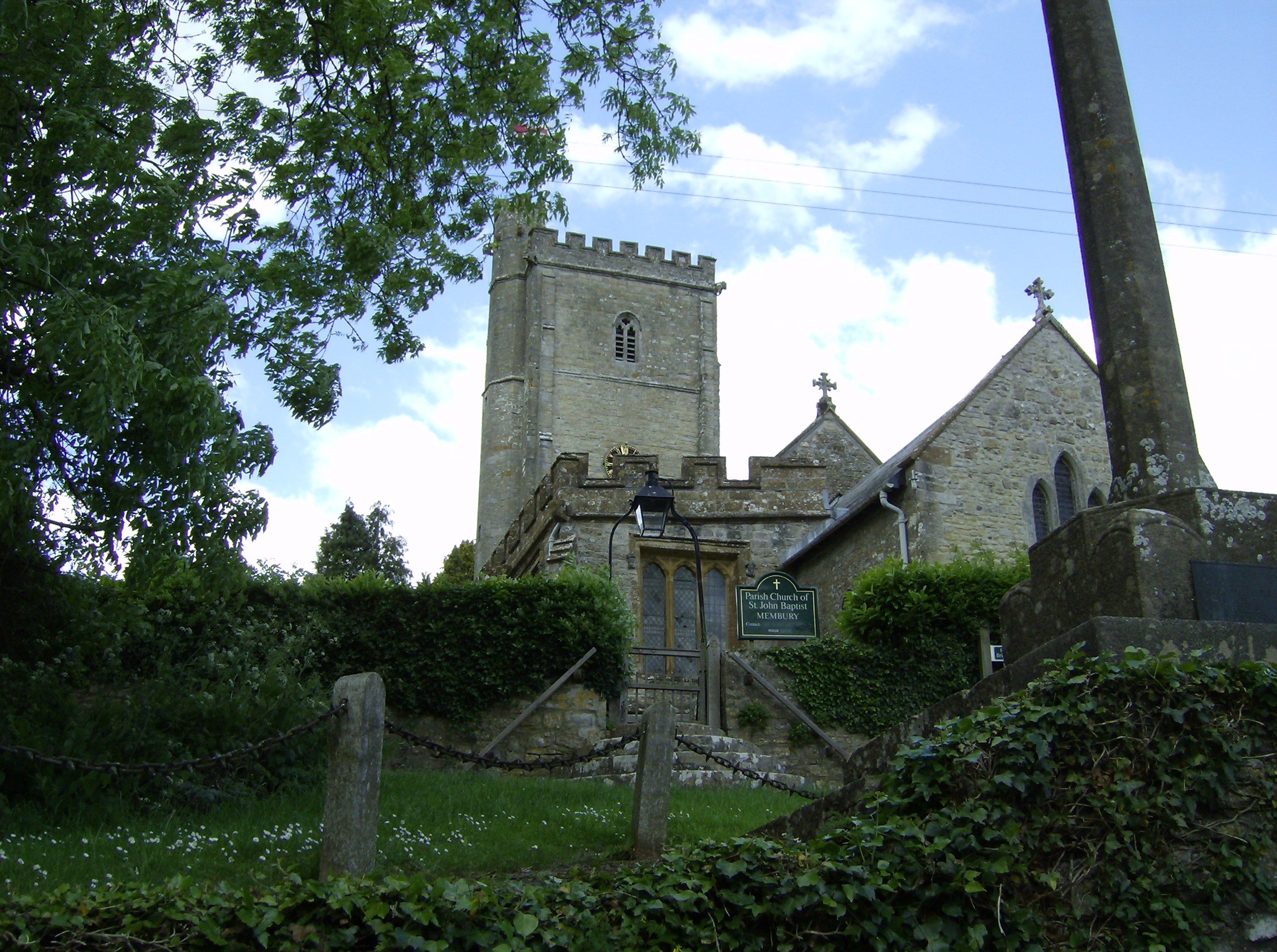
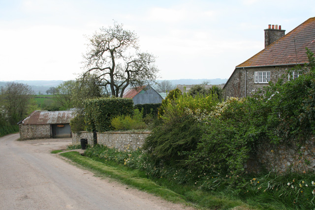
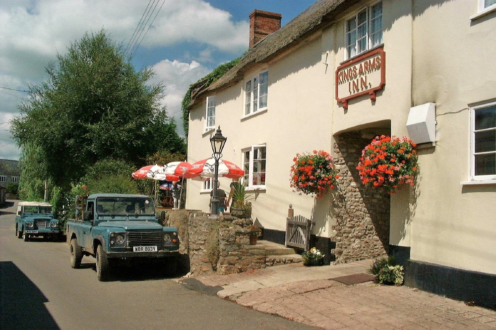
Membury, Devon

Membury is a village three miles north west of Axminster in East Devon district. The population at the 2011 Census was 501.The village has a 13th-century...
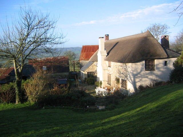
Membury Castle

Membury Castle is an Iron Age hillfort situated above the village of Membury in Devon. The fort occupies a commanding hilltop position some 204 metres...

Holy City, Devon

Holy City is a hamlet in the parish of Chardstock, East Devon, England. It is approximately 5 miles (8.0 km) due north of the town of Axminster, and 4...

Yarcombe

Yarcombe is a village and civil parish in the county of Devon, England, situated in the East Devon administrative district on the A30 road near the towns...

Wambrook

Wambrook is a village and civil parish in the Blackdown Hills, Somerset, England. The village lies about 2 miles (3 km) southwest of the town of Chard...

Church of St Mary, Wambrook

The Anglican Church of St Mary in Wambrook, Somerset, England, was built in the 13th century. It is a Grade II* listed building. == History == The church...

Horse Pool Camp

Horse Pool Camp is a univallate Iron Age hill fort enclosure in the South Somerset district of Somerset, England. It is also known as Whitestaunton Camp...

Nearby Amenities

Located within 500m of 50.837021,-3.0447332
Osmore Orchards
Place: locality
Lat/Long: 50.837629/-3.0479046
Osmore Farm
Place: locality
Lat/Long: 50.8366927/-3.0471813
Power: pole
Transformer: distribution
Lat/Long: 50.8388396/-3.0389039
Power: pole
Voltage: 11000
Lat/Long: 50.8381756/-3.0388449
Power: pole
Voltage: 11000
Lat/Long: 50.8372363/-3.0387926
Power: pole
Voltage: 11000
Lat/Long: 50.8365605/-3.0387497
Power: pole
Voltage: 11000
Lat/Long: 50.8357694/-3.0386424
The data included in this document is from www.openstreetmap.org. The data is made available under ODbL.

Have you been to Moor Copse?

Leave your review of Moor Copse below (or comments, questions and feedback).