Great Gill Plantation
Wood, Forest in Cumberland Allerdale
England
Great Gill Plantation
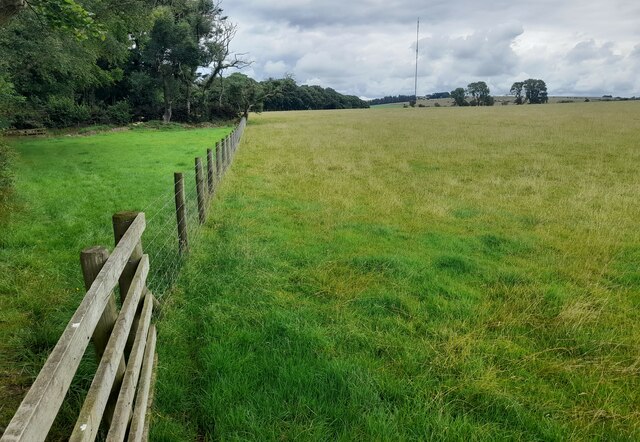
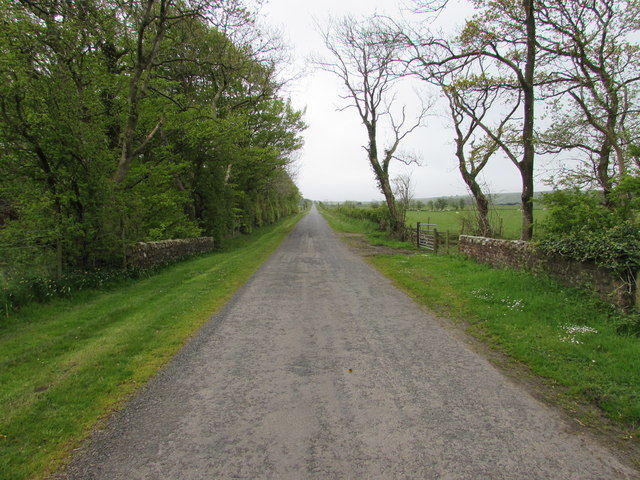
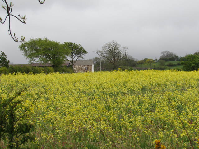
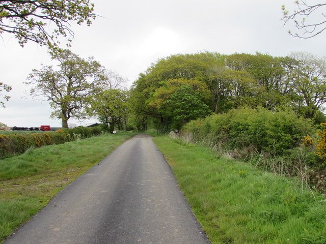
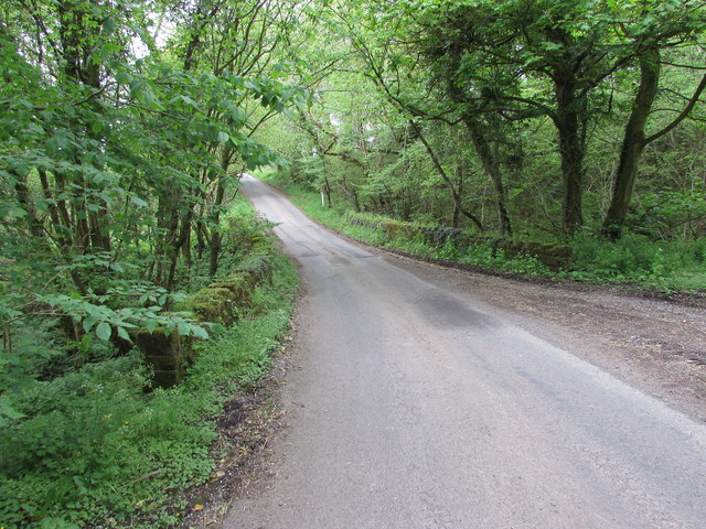
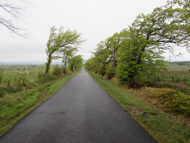
Great Gill Plantation is a sprawling woodland located in Cumberland, a county in the northwest of England. Covering an area of approximately 200 acres, it is a majestic forest that offers a picturesque and serene environment for visitors to explore and enjoy.
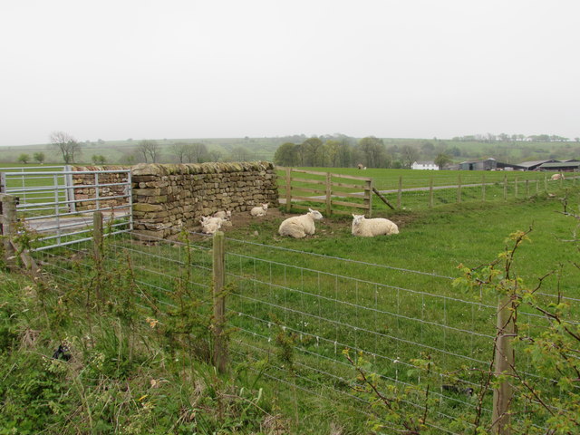
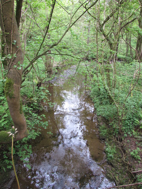
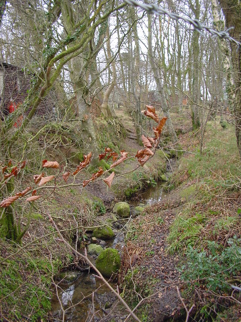
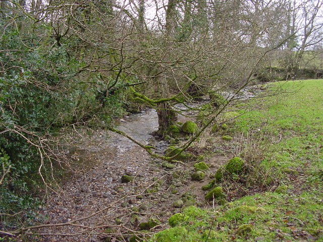
The plantation is primarily composed of a diverse range of trees, including oak, ash, beech, and pine, which create a vibrant and lush canopy overhead. These trees have flourished over the years, forming a dense and enchanting woodland that is home to a variety of wildlife. Visitors can expect to encounter a wide array of bird species, such as woodpeckers, thrushes, and owls, as well as small mammals like squirrels and rabbits.
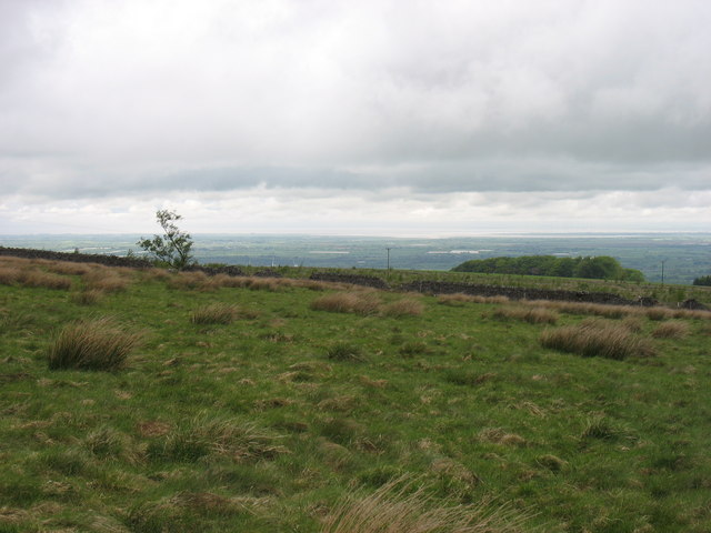
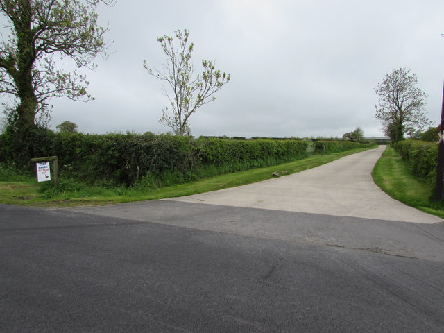
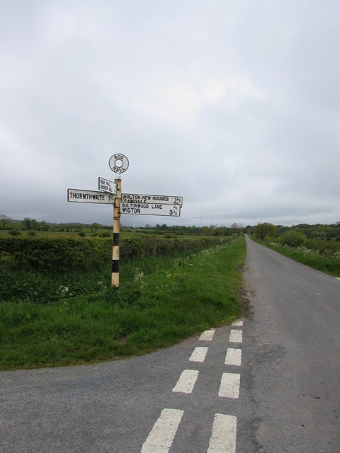
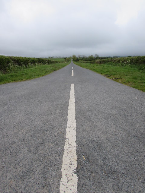
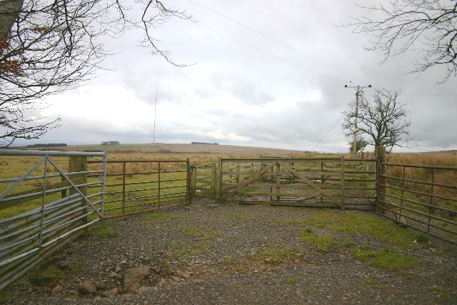
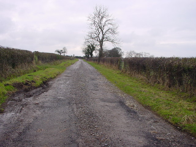
Traversing through Great Gill Plantation, visitors will discover an extensive network of well-maintained footpaths and trails, allowing for leisurely walks and hikes amidst the natural beauty of the forest. The paths wind through the plantation, unveiling stunning views of the surrounding landscape and providing opportunities for peaceful moments of reflection.
The plantation also boasts a charming picnic area, where visitors can unwind and enjoy a packed lunch amidst the tranquil surroundings. Additionally, there are designated areas for camping and barbecues, making Great Gill Plantation an ideal destination for outdoor enthusiasts and families seeking a day of recreation.
Overall, Great Gill Plantation offers a captivating and immersive experience for nature lovers. Its rich biodiversity, well-preserved trails, and picturesque views make it a must-visit destination for anyone seeking solace in the enchanting embrace of nature.
If you have any feedback on the listing, please let us know in the comments section below.
Great Gill Plantation Images
Images are sourced within 2km of 54.763072/-3.1432824 or Grid Reference NY2641. Thanks to Geograph Open Source API. All images are credited.
Great Gill Plantation is located at Grid Ref: NY2641 (Lat: 54.763072, Lng: -3.1432824)
Administrative County: Cumbria
District: Allerdale
Police Authority: Cumbria
What 3 Words
///surely.slanting.fortnight. Near Wigton, Cumbria
Nearby Locations
Related Wikis

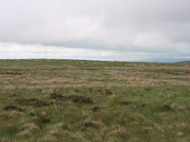
Sandale transmitting station
The Sandale transmitting station is the main radio transmitting station for the county of Cumbria, including the Lake District, and eastern Dumfries and...
Boltons
Boltons is a civil parish in the Cumberland district, in the ceremonial county of Cumbria, England. According to the 2001 census it had a population of...

Bolton Wood Lane
Bolton Wood Lane is a hamlet in Cumbria, England. It is located 3.1 miles (5.0 km) by road to the southwest of South End, to the east of Bolton Low Houses...
Bolton New Houses
Bolton New Houses is a hamlet in Cumbria, England. Historically a part of Cumberland, it is located 3.1 miles (5.0 km) by the road to the southwest of...

Westward, Cumbria
Westward is a small village and civil parish in the English county of Cumbria. It had a population of 814, at the 2001 census, increasing slightly to 838...

Faulds Brow
Faulds Brow is a small rise in the English Lake District, northwest of the village of Caldbeck in Cumbria. It is the subject of a chapter of Wainwright...

Caldbeck transmitting station
The Caldbeck transmitting station is a broadcasting and telecommunications facility, situated close to the village of Caldbeck, in Cumbria, England (Grid...

All Saints Church, Boltongate
All Saints' Church is in the village of Boltongate, Cumbria, England. It is an active Anglican parish church in the deanery of Solway, the archdeaconry...
Nearby Amenities
Located within 500m of 54.763072,-3.1432824Have you been to Great Gill Plantation?
Leave your review of Great Gill Plantation below (or comments, questions and feedback).