Appleby Magna
Settlement in Leicestershire / Derbyshire North West Leicestershire
England
Appleby Magna
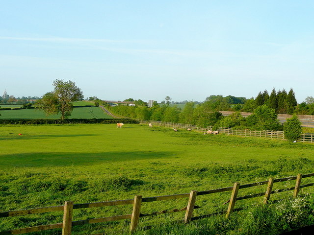
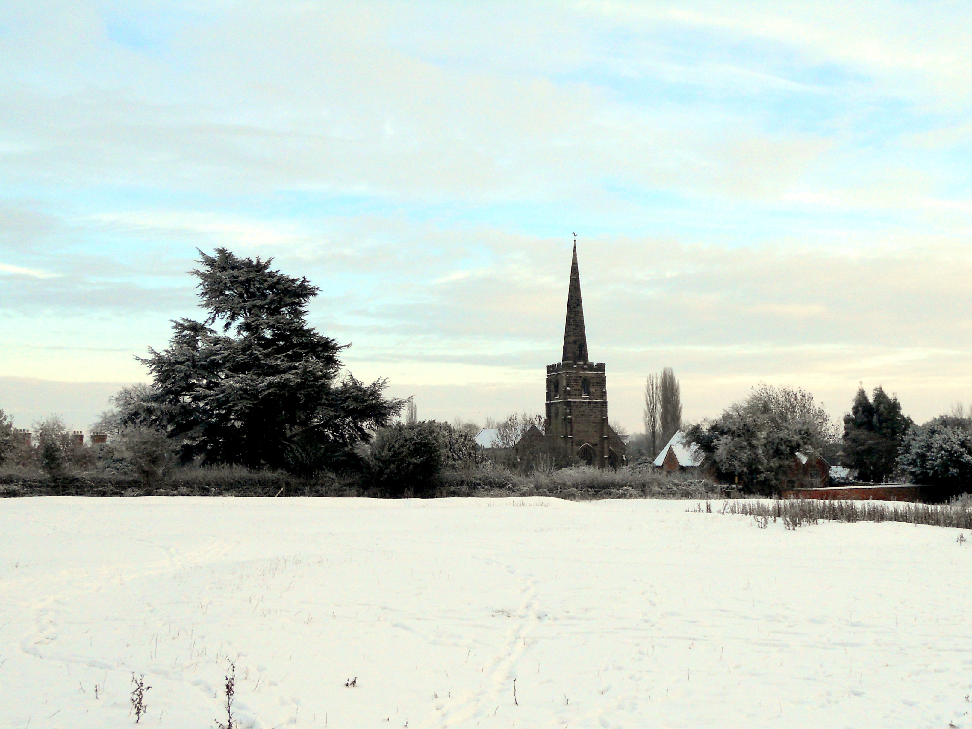
Appleby Magna is a small village located on the border of Leicestershire and Derbyshire in England. It lies approximately 14 miles northwest of Leicester and 5 miles northeast of Ashby-de-la-Zouch. The village is nestled in the scenic countryside and is surrounded by rural landscapes and farmland.
Historically, Appleby Magna has been an important settlement since the Roman times, evidenced by the discovery of Roman coins and artifacts in the area. The village grew during the medieval period and still retains much of its historic charm today. The centerpiece of the village is the magnificent St. Michael's Church, a Grade I listed building dating back to the 13th century. The church features stunning architectural details and a beautiful stained glass window.
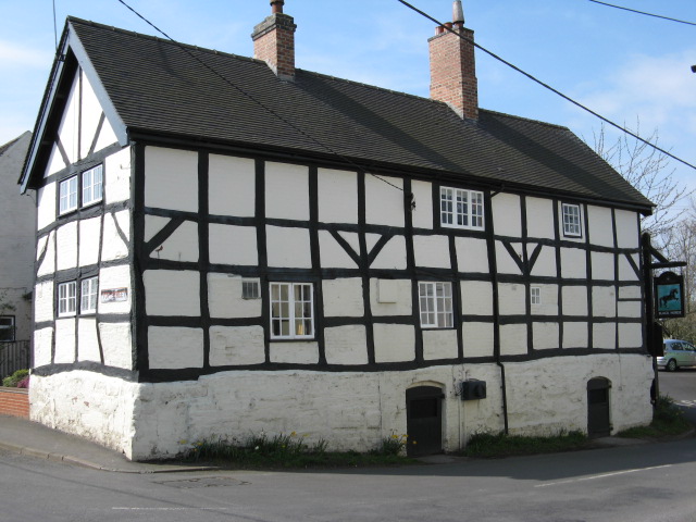
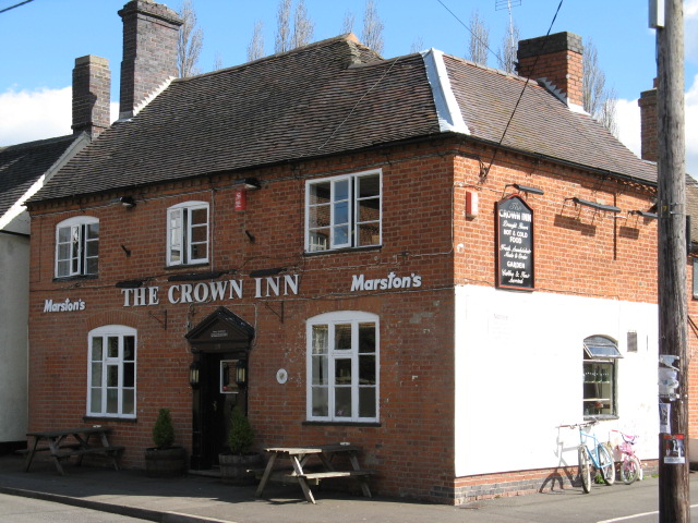
Appleby Magna is also known for its well-preserved timber-framed buildings, including the Bull's Head pub, which dates back to the 17th century. The village has a close-knit community and a friendly atmosphere, making it a popular place to live for those seeking a tranquil and picturesque setting.
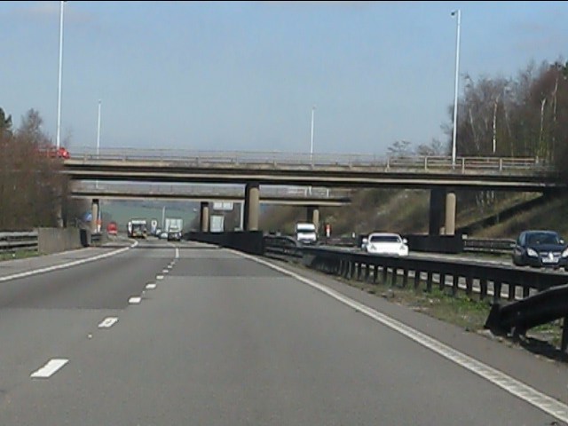
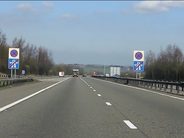
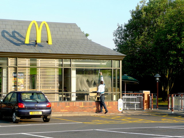
In terms of amenities, Appleby Magna offers a range of facilities including a primary school, a village hall, a post office, and a few local shops. The village is also well-connected, with good road links to nearby towns and cities, making it an ideal location for commuters.
Overall, Appleby Magna is a charming village that combines its rich history with beautiful surroundings, making it a desirable place to visit or reside in Leicestershire / Derbyshire.
If you have any feedback on the listing, please let us know in the comments section below.
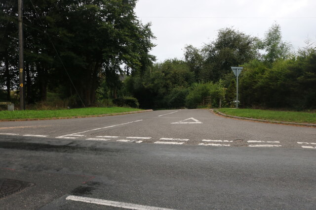
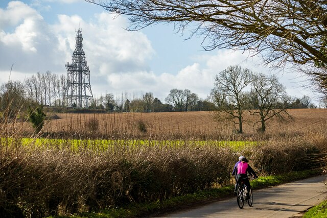
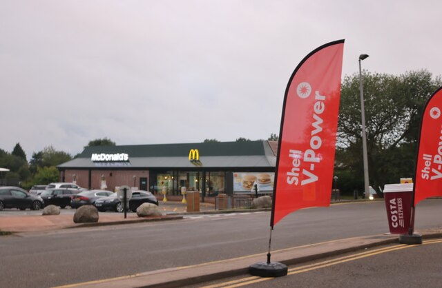
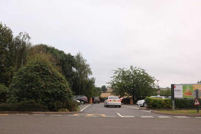
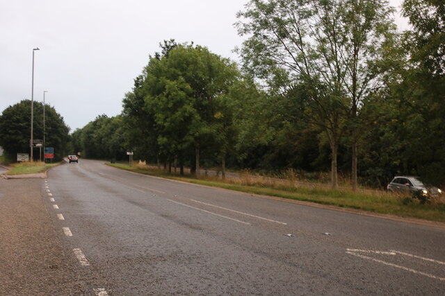
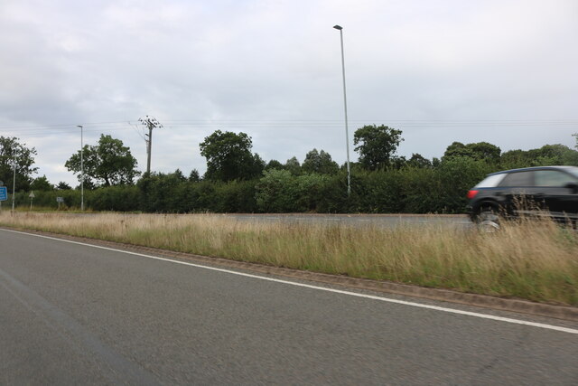
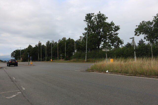
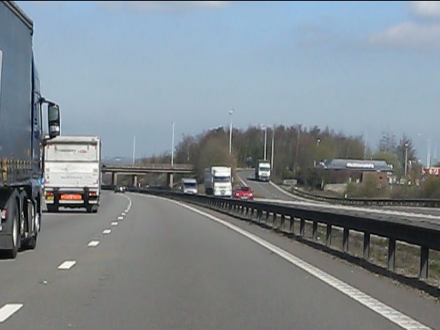
Appleby Magna Images
Images are sourced within 2km of 52.684875/-1.530888 or Grid Reference SK3109. Thanks to Geograph Open Source API. All images are credited.


Appleby Magna is located at Grid Ref: SK3109 (Lat: 52.684875, Lng: -1.530888)
Administrative County: Leicestershire
District: North West Leicestershire
Police Authority: Leicestershire
What 3 Words
///finds.enforced.repaying. Near Measham, Leicestershire
Nearby Locations
Related Wikis

St Michael and All Angels' Church, Appleby Magna
St Michael and All Angels’ Church, Appleby Magna is a Grade II* listed parish church in the Church of England in Appleby Magna, Leicestershire == History... ==
Appleby Magna
Appleby Magna is a village and civil parish in the North West Leicestershire district, in the county of Leicestershire, England. It includes the small...

Sir John Moore Church of England Primary School
Sir John Moore Church of England Primary School, previously known as Appleby Grammar School, is a junior school situated in the village of Appleby Magna...
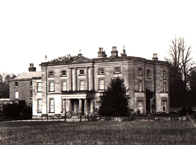
Appleby Hall
Appleby Hall was a manor house or stately home built in the small hamlet of Appleby Parva, on the outskirts of Appleby Magna. A Manor was mentioned in...

Appleby Parva
Appleby Parva, or Little Appleby (Known locally as Over-Town), part of the parish of Appleby Magna in Leicestershire, is a hamlet about 1 mile (1.6 km...

Snarestone railway station
Snarestone railway station is a disused railway station that formerly served the village of Snarestone, North West Leicestershire from 1873 to 1931. The...

Stretton en le Field
Stretton en le Field is a small village and civil parish in the North West Leicestershire district of Leicestershire, England, about 7 miles/11 km south...
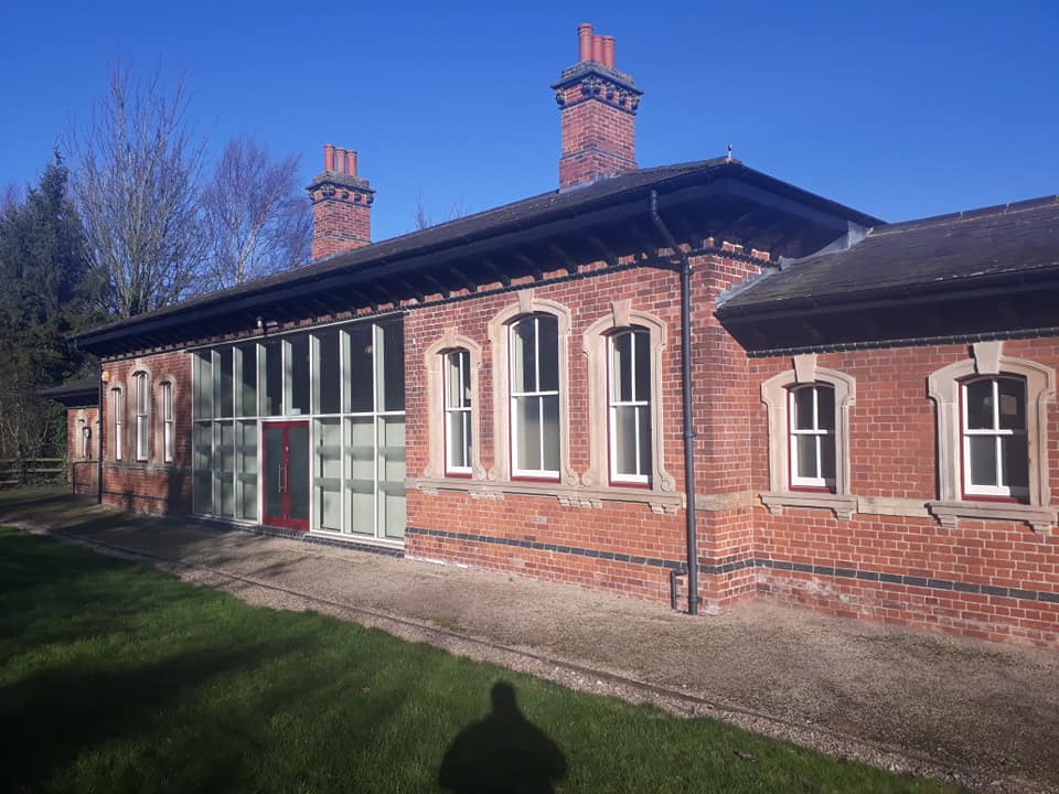
Measham railway station
Measham railway station is a disused railway station that formerly served the village of Measham, North West Leicestershire from 1873 to 1931. The station...
Nearby Amenities
Located within 500m of 52.684875,-1.530888Have you been to Appleby Magna?
Leave your review of Appleby Magna below (or comments, questions and feedback).