Appleby Magna

Civil Parish in Leicestershire North West Leicestershire

England

Appleby Magna

Austrey Lane, Appleby Parva From Atherstone Road
Austrey Lane, Appleby Parva Credit: David Howard

Appleby Magna is a civil parish located in the district of North West Leicestershire, in the county of Leicestershire, England. It is a small village situated approximately 14 miles southwest of the city of Leicester. The parish covers an area of about 4.5 square miles and has a population of around 1,200 people.

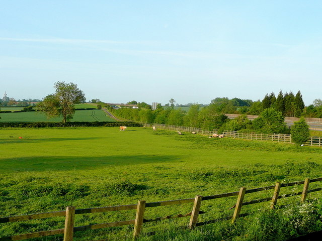
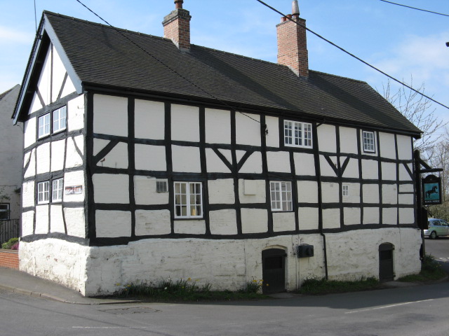
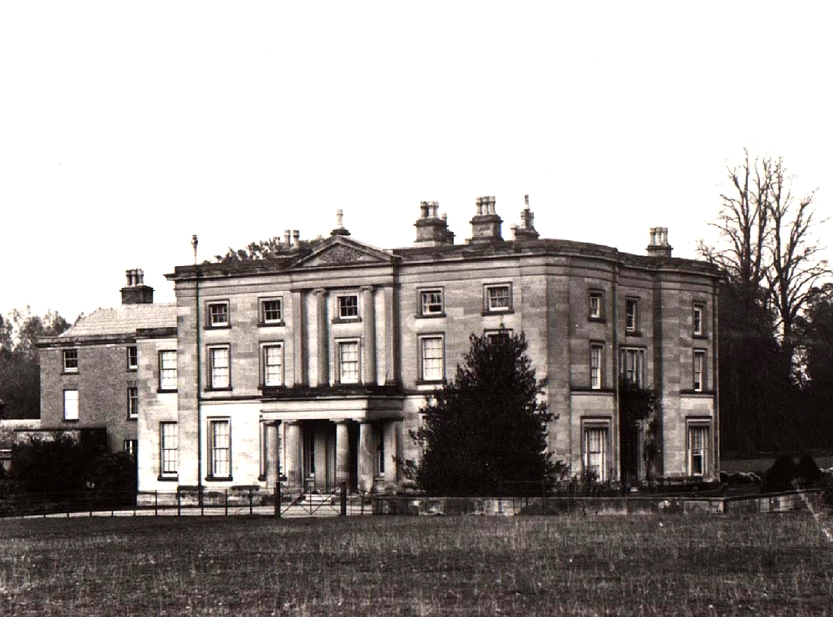
The village of Appleby Magna is known for its rich history and picturesque surroundings. It is characterized by its traditional English countryside charm, with a mix of old thatched cottages, Georgian houses, and modern housing developments. The village is surrounded by open fields, rolling hills, and woodland areas, offering plenty of opportunities for outdoor activities such as walking, cycling, and horse riding.

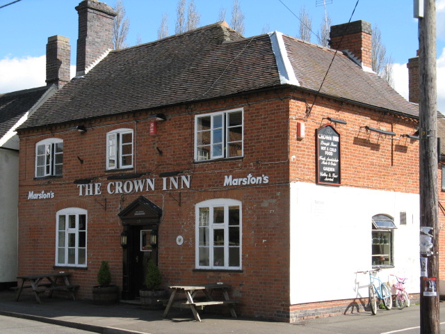
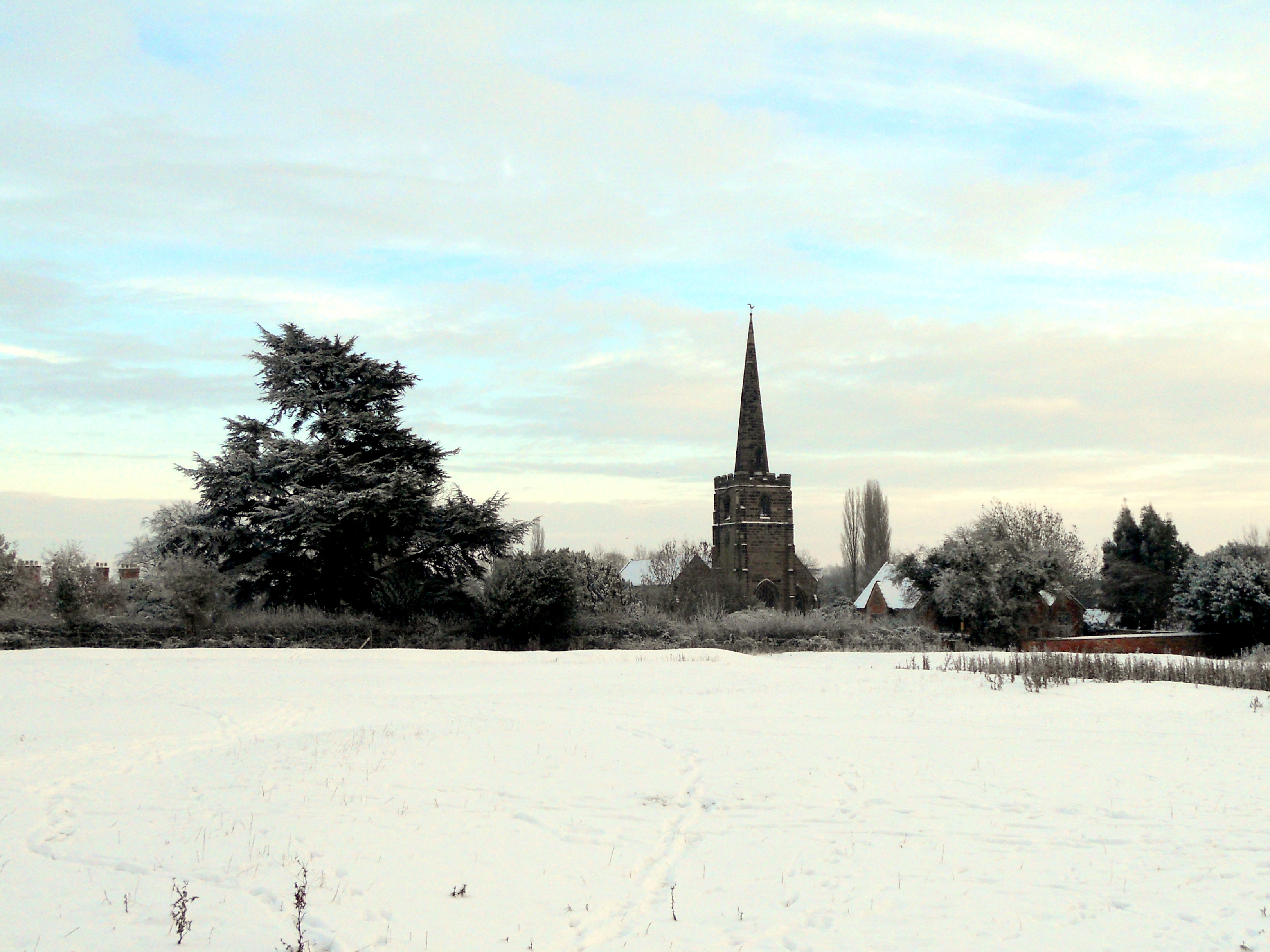
Appleby Magna has a strong sense of community, with several local amenities and services available to its residents. These include a primary school, a village hall, a post office, a village shop, and a pub. The village also has a beautiful parish church, St. Michael and All Angels, which dates back to the 13th century and is a popular attraction for tourists and history enthusiasts.

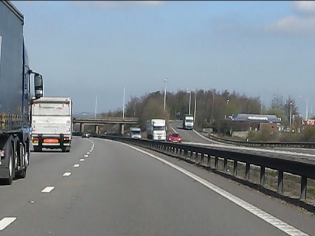
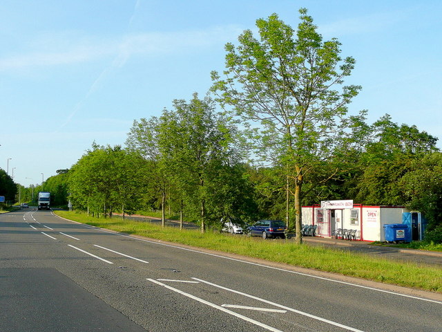
In addition to its natural beauty and amenities, Appleby Magna is well-connected to nearby towns and cities. The village is situated close to major road networks, including the A444 and the M42, providing easy access to Leicester, Birmingham, and other parts of the Midlands.

Overall, Appleby Magna is a charming and peaceful village with a strong community spirit, making it a desirable place to live for those seeking a rural lifestyle with convenient access to nearby urban areas.

If you have any feedback on the listing, please let us know in the comments section below.

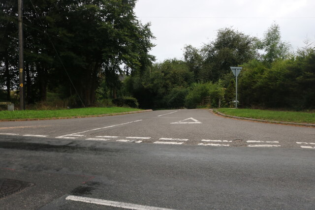
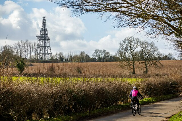
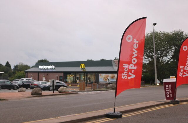
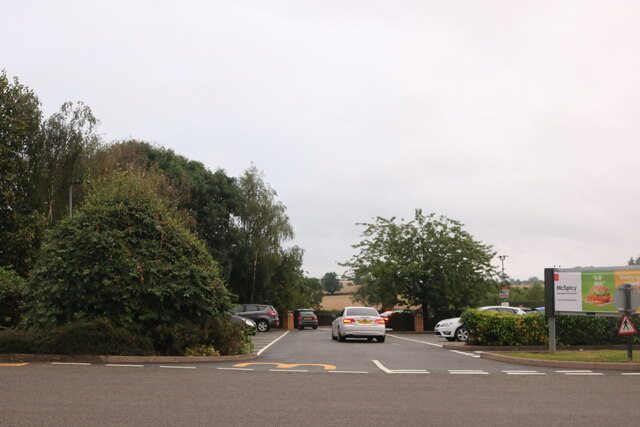
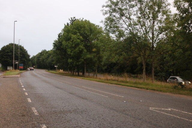
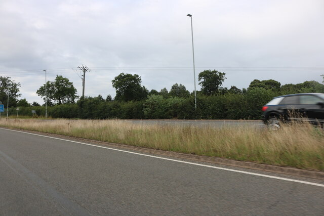
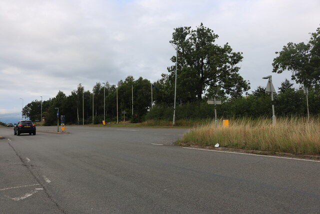
Appleby Magna Images

Images are sourced within 2km of 52.683048/-1.532638 or Grid Reference SK3109. Thanks to Geograph Open Source API. All images are credited.

Austrey Lane, Appleby Parva From Atherstone Road
Austrey Lane, Appleby Parva
From Atherstone Road
Austrey Road, Appleby Parva A narrow lane, connecting Appleby Parva (and Magna) with Austrey. On the horizon - an unignorable feature - is the Twycross Microwave Transmitting Station.
Austrey Road, Appleby Parva
A narrow lane, connecting Appleby Parva (and Magna) with Austrey. On the horizon - an unignorable feature - is the Twycross Microwave Transmitting Station.
McDonald's, Appleby Magna
McDonald's car park, Appleby Magna
Acresford Road, Appleby Magna
Atherstone Road, Appleby Magna
M42 Motorway near Appleby Parva The parapet ahead on the right marks the passage of a farm track underneath the motorway.
M42 Motorway near Appleby Parva
The parapet ahead on the right marks the passage of a farm track underneath the motorway.
M42 Motorway - farm bridge south of junction 11
M42 Motorway approaching junction 11
M42 Motorway - junction 11 bridges Another classic UK roundabout junction with two separate bridges.
M42 Motorway - junction 11 bridges
Another classic UK roundabout junction with two separate bridges.
End of Motorway The "crossed chopsticks" signs indicate that the M42 ends, to be instantly replaced by the "clearway" of the A42. The M42/A42 saga is a typical UK bodge roadbuilding tale, with an end result which probably pleases nobody. For more details, see: <span class="nowrap"><a title="http://www.cbrd.co.uk/motorway/m42" rel="nofollow ugc noopener" href="http://www.cbrd.co.uk/motorway/m42">Link</a><img style="margin-left:2px;" alt="External link" title="External link - shift click to open in new window" src="https://s1.geograph.org.uk/img/external.png" width="10" height="10"/></span>
End of Motorway
The "crossed chopsticks" signs indicate that the M42 ends, to be instantly replaced by the "clearway" of the A42. The M42/A42 saga is a typical UK bodge roadbuilding tale, with an end result which probably pleases nobody. For more details, see: LinkExternal link
A42 near Stretton en le Field
Pasture by the M42 Early morning view from the McDonald's car park at Appleby Magna.
Pasture by the M42
Early morning view from the McDonald's car park at Appleby Magna.
Early morning window-cleaning McDonald's Appleby Magna restaurant at M42 junction 11.
Early morning window-cleaning
McDonald's Appleby Magna restaurant at M42 junction 11.
The Munch Box A roadside caff in the same gridsquare as <a href="https://www.geograph.org.uk/photo/2428776">SK3010 : Early morning window-cleaning</a> multinational fast-food outlet.
The Munch Box
A roadside caff in the same gridsquare as SK3010 : Early morning window-cleaning multinational fast-food outlet.
Appleby Magna Black Horse Pub Grade II Listed pub with classic timbered exterior
Appleby Magna Black Horse Pub
Grade II Listed pub with classic timbered exterior
Appleby Magna Crown Inn Marstons village pub close to the church
Appleby Magna Crown Inn
Marstons village pub close to the church
Show me another place!

Appleby Magna is located at Grid Ref: SK3109 (Lat: 52.683048, Lng: -1.532638)

Administrative County: Leicestershire

District: North West Leicestershire

Police Authority: Leicestershire

What 3 Words

///relatives.circular.carrots. Near Measham, Leicestershire

Related Wikis

Nearby Amenities

Located within 500m of 52.683048,-1.532638
Appleby Magna
Place: village
Wikidata: Q2545336
Wikipedia: en:Appleby Magna
Lat/Long: 52.6844007/-1.5328214
Bus Stop
Black Horse PH
Alt Name: Appleby Magna - Top Street
Bus: yes
Naptan AltCommonName: Appleby Magna - Top Street
Naptan AtcoCode: 260013007
Naptan Bearing: N
Naptan CommonName: Black Horse PH
Naptan Indicator: outside
Naptan Landmark: Black Horse PH
Naptan NaptanCode: leijdmga
Naptan Notes: Non-Hourly - County
Naptan Street: Top Street
Naptan Verified: no
Public Transport: platform
Source: naptan_import
Lat/Long: 52.6847648/-1.5310218
Bus Stop
Black Horse PH
Alt Name: Appleby Magna - Top Street
Bus: yes
Naptan AltCommonName: Appleby Magna - Top Street
Naptan AtcoCode: 260013008
Naptan Bearing: S
Naptan CommonName: Black Horse PH
Naptan Indicator: opposite
Naptan Landmark: Black Horse PH
Naptan NaptanCode: leijdmgd
Naptan Notes: Non-Hourly - County
Naptan Street: Top Street
Naptan Verified: no
Public Transport: platform
Source: naptan_import
Lat/Long: 52.6844684/-1.531099
Bus Stop
Post Office
Bus: yes
Naptan AtcoCode: 260013011
Naptan Bearing: E
Naptan CommonName: Post Office
Naptan Indicator: opposite
Naptan Landmark: Post Office
Naptan NaptanCode: leijdmgp
Naptan Notes: Non-Hourly - County
Naptan Street: Mawby's Lane
Naptan Verified: no
Public Transport: platform
Source: naptan_import
Lat/Long: 52.6856684/-1.5344739
Bus Stop
Post Office
Bus: yes
Naptan AtcoCode: 260013012
Naptan Bearing: W
Naptan CommonName: Post Office
Naptan Indicator: outside
Naptan Landmark: Post Office
Naptan NaptanCode: leijdmgt
Naptan Notes: Non-Hourly - County
Naptan Street: Mawby's Lane
Naptan Verified: no
Public Transport: platform
Shelter: yes
Source: naptan_import
Lat/Long: 52.6855911/-1.5346806
Post Box
Operator: Royal Mail
Operator Wikidata: Q638098
Post Box Design: type_m
Post Box Type: lamp
Ref: DE12 1120
Lat/Long: 52.6869525/-1.5350388
Post Box
Operator: Royal Mail
Operator Wikidata: Q638098
Post Box Design: type_k
Post Box Type: pillar
Ref: DE12 1169
Royal Cypher: EIIR
Royal Cypher Wikidata: Q33102113
Lat/Long: 52.6855437/-1.533886
Church Hall
Lat/Long: 52.6854007/-1.5361176
Pub
The Black Horse
Addr City: Swadlincote
Addr Housenumber: 2
Addr Postcode: DE12 7AH
Addr Street: Top Street
Addr Village: Appleby Magna
Fhrs Id: 1679371
Wikidata: Q26336505
Lat/Long: 52.6848086/-1.5311072
Mawby's Lane Stores
Addr City: Swadlincote
Addr Housenumber: 26
Addr Postcode: DE12 7AA
Addr Street: Mawby's Lane
Old Name: Appleby Magma Post Office
Shop: convenience
Website: https://mawbyslanestores.wixsite.com/shop
Lat/Long: 52.6853841/-1.5339016
Disused Amenity: post_office
Old Name: Appleby Magma Post Office
Lat/Long: 52.6853678/-1.5338212
Pub
The Crown Inn
Addr City: Swadlincote
Addr Housenumber: 23
Addr Postcode: DE12 7BB
Addr Street: Church Street
Addr Village: Appleby Magna
Fhrs Id: 1629048
Lat/Long: 52.68459/-1.5356906
Generator Method: photovoltaic
Generator Output Electricity: yes
Generator Source: solar
Generator Type: solar_photovoltaic_panel
Location: roof
Power: generator
Lat/Long: 52.6858888/-1.5307571
Generator Method: photovoltaic
Generator Output Electricity: yes
Generator Source: solar
Generator Type: solar_photovoltaic_panel
Location: roof
Power: generator
Lat/Long: 52.6861018/-1.5341475
Generator Method: photovoltaic
Generator Output Electricity: yes
Generator Source: solar
Generator Type: solar_photovoltaic_panel
Location: roof
Power: generator
Lat/Long: 52.6819116/-1.534869
Telephone
Booth: K6
Covered: booth
Listed Status: Grade II
Phone: +44 1530 270490
Lat/Long: 52.6846566/-1.5358199
Bench
Lat/Long: 52.6870169/-1.535041
Telephone
Defibrillator
Booth: K6
Covered: booth
Defibrillator Location: inside red phone box, Top Street, Appleby Magna
Emergency: defibrillator
Listed Status: Grade II
Man Made: telephone_box
Ref GB The Circuit: 2277588F-D47A-4638-9066-ABED00FDBB49
Lat/Long: 52.6843496/-1.5311183
Bench
Lat/Long: 52.6844205/-1.5310955
Post Office
Appleby Magna Stop
Addr City: Swadlincote
Addr Housename: Crown Inn Car Park
Addr Postcode: DE12 7BB
Addr Street: Church Street
Addr Village: Applyby Magna
Ref Pol Id: 179212
Source: pol_branch_list_2022‑05‑27
Lat/Long: 52.684663/-1.53553
Power: pole
Source: Bing
Transition: yes
Lat/Long: 52.6815736/-1.5325673
Power: pole
Source: Bing
Lat/Long: 52.6816777/-1.5315977
Power: pole
Source: Bing
Lat/Long: 52.6817696/-1.5306924
Power: pole
Source: Bing
Lat/Long: 52.6818972/-1.5295337
Power: pole
Source: Bing
Lat/Long: 52.6821631/-1.5270393
Power: pole
Source: Bing
Lat/Long: 52.6819793/-1.5287519
Power: pole
Source: Bing
Lat/Long: 52.6820736/-1.5278775
Power: pole
Source: Bing
Lat/Long: 52.6822606/-1.5262091
The data included in this document is from www.openstreetmap.org. The data is made available under ODbL.

Have you been to Appleby Magna?

Leave your review of Appleby Magna below (or comments, questions and feedback).