Appleby

Civil Parish in Lincolnshire

England

Appleby

School Lane, Appleby
School Lane, Appleby Credit: David Brown

Appleby is a civil parish located in Lincolnshire, England. Situated approximately 5 miles northwest of Scunthorpe, it covers an area of around 9 square miles. The parish is primarily rural, with a small population of just over 200 residents.

The landscape of Appleby is characterized by rolling hills, open fields, and picturesque countryside. It is surrounded by several other small villages, including Broughton and Hibaldstow. The River Ancholme runs through the parish, providing a tranquil setting for residents and visitors alike.

Appleby has a rich history, with evidence of human habitation dating back to prehistoric times. The village itself is home to several historic buildings, including the Grade II listed Appleby Old Hall, a 16th-century manor house. St Bartholomew's Church, a medieval church dating back to the 12th century, is another notable landmark in the parish.

Despite its small size, Appleby offers a range of amenities to its residents. These include a primary school, a village hall, and a local pub. The parish also benefits from its close proximity to larger towns and cities, such as Scunthorpe, which provide additional amenities and services.

The rural setting of Appleby makes it an attractive destination for those seeking a peaceful and idyllic lifestyle. With its rich history, picturesque landscapes, and close-knit community, Appleby offers a unique charm that is cherished by its residents.

If you have any feedback on the listing, please let us know in the comments section below.
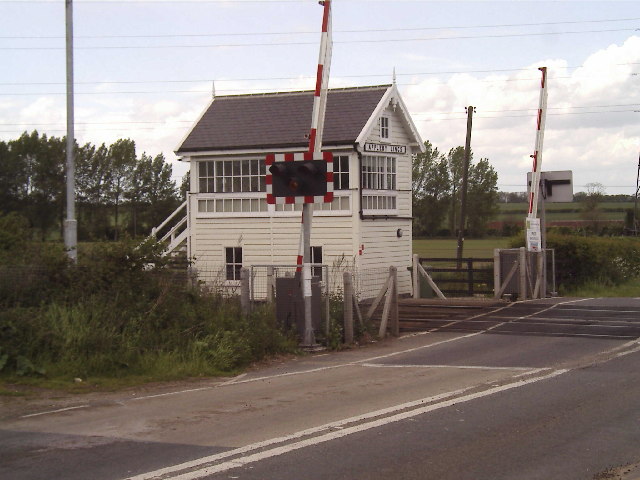
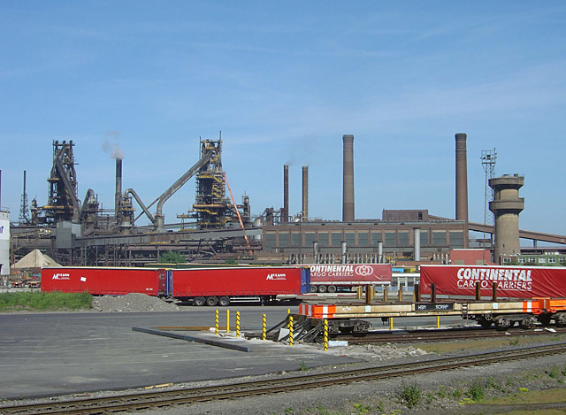
Appleby Images

Images are sourced within 2km of 53.607564/-0.561173 or Grid Reference SE9513. Thanks to Geograph Open Source API. All images are credited.

School Lane, Appleby
St Bartholomew's Church, Appleby
B1207 in Appleby
B1207 in Appleby
Road to Low Santon Farm
Autumn in the Rowland Plantation
Bridge over Sir Rowland Winn's Drain Sir Rowland Winn's Drain is vital for the drainage of Appleby Carrs. Thornholme Plantation is in the distance.
Bridge over Sir Rowland Winn's Drain
Sir Rowland Winn's Drain is vital for the drainage of Appleby Carrs. Thornholme Plantation is in the distance.
Track on Appleby Carrs Worlaby in the far distance.
Track on Appleby Carrs
Worlaby in the far distance.
Appleby Carrs and Thornholme Plantation Sir Rowland Winn's Drain crosses the picture.
Appleby Carrs and Thornholme Plantation
Sir Rowland Winn's Drain crosses the picture.
Track and plantation, Appleby Carrs Sir Rowland Winn's Drain is to the right of the farm track.
Track and plantation, Appleby Carrs
Sir Rowland Winn's Drain is to the right of the farm track.
New house, Carr Lane, Appleby
Site of Appleby (Lincs.) station, with Up freight train, 1993 View eastward, towards Barnetby, Immingham, Grimsby and Cleethorpes: ex-GC Sheffield - Doncaster - Cleethorpes main line. The station had been closed since 5/6/67, but the line is still very active. Class 60 Diesel No. 60013 'Robert Boyle' is westbound from Immingham Docks on probably a train of imported coal - in marked contrast to the original flow of coal, which would have been eastward for export.
Site of Appleby (Lincs.) station, with Up freight train, 1993
View eastward, towards Barnetby, Immingham, Grimsby and Cleethorpes: ex-GC Sheffield - Doncaster - Cleethorpes main line. The station had been closed since 5/6/67, but the line is still very active. Class 60 Diesel No. 60013 'Robert Boyle' is westbound from Immingham Docks on probably a train of imported coal - in marked contrast to the original flow of coal, which would have been eastward for export.
Appleby railway station (site), Lincolnshire Opened in 1866 by the Manchester Sheffield & Lincolnshire Railway on the line from Doncaster to Cleethorpes. View east towards Elsham and Cleethorpes. The main building used to stand roughly where the green container is.
Appleby railway station (site), Lincolnshire
Opened in 1866 by the Manchester Sheffield & Lincolnshire Railway on the line from Doncaster to Cleethorpes. View east towards Elsham and Cleethorpes. The main building used to stand roughly where the green container is.
Farmland, Low Santon Farm
Farmland, Santon Hill
Boggy ground towards The Follies
Rough ground near Kebwood Farm
Water tank at High Santon This seems to have replaced Clapgate Reservoir.
Water tank at High Santon
This seems to have replaced Clapgate Reservoir.
Along the lines towards Top Wood Looking towards the Ancholme Valley.
Along the lines towards Top Wood
Looking towards the Ancholme Valley.
Show me another place!

Appleby is located at Grid Ref: SE9513 (Lat: 53.607564, Lng: -0.561173)

Unitary Authority: North Lincolnshire

Police Authority: Humberside

What 3 Words

///kite.inspects.graphic. Near Appleby, Lincolnshire

Nearby Locations

Appleby

Related Wikis

Nearby Amenities

Located within 500m of 53.607564,-0.561173
Appleby
Historic Railway: station
Railway: site
Source: NPE
Lat/Long: 53.6036591/-0.5611962
Bus Stop
Rail Station
Naptan AtcoCode: 227000011060
Naptan Bearing: S
Naptan CommonName: Rail Station
Naptan Indicator: adj
Naptan NaptanCode: scumpjm
Naptan Street: Ermine Street
Naptan Verified: no
Source: naptan_import
Lat/Long: 53.6033791/-0.5619113
Power: tower
Lat/Long: 53.6056652/-0.5596968
Power: tower
Lat/Long: 53.6072057/-0.5560007
Power: pole
Lat/Long: 53.6047229/-0.5663539
Power: tower
Lat/Long: 53.6045002/-0.5625399
Railway: level_crossing
Source: OS OpenData StreetView;Bing
Lat/Long: 53.6036592/-0.5620825
Power: pole
Lat/Long: 53.6054887/-0.564402
Power: pole
Lat/Long: 53.6062498/-0.5624856
Power: pole
Lat/Long: 53.6069653/-0.5605814
Power: pole
Lat/Long: 53.6076996/-0.5586742
Power: pole
Lat/Long: 53.6084881/-0.5566972
Power: pole
Lat/Long: 53.6090313/-0.5551905
Railway: level_crossing
Source: Bing
Lat/Long: 53.6036365/-0.5620779
Keepers Cottage
Place: isolated_dwelling
Source: Bing
Lat/Long: 53.6043278/-0.5616761
Linden House
Place: isolated_dwelling
Source: Bing
Lat/Long: 53.6052254/-0.5619873
Appleby Garden Centre
Shop: garden_centre
Lat/Long: 53.6049855/-0.5617049
The data included in this document is from www.openstreetmap.org. The data is made available under ODbL.

Have you been to Appleby?

Leave your review of Appleby below (or comments, questions and feedback).