Appleby Parva

Settlement in Leicestershire North West Leicestershire

England

Appleby Parva

Austrey Lane, Appleby Parva From Atherstone Road
Austrey Lane, Appleby Parva Credit: David Howard

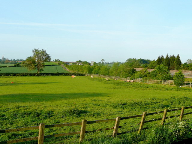
Appleby Parva is a small village located in the county of Leicestershire, in the East Midlands region of England. It lies approximately six miles southwest of the town of Ashby-de-la-Zouch and is surrounded by picturesque countryside and farmland.

The village is characterized by its charming, traditional English architecture, with a mix of stone and brick buildings dating back several centuries. Appleby Parva is known for its peaceful and rural atmosphere, making it an ideal place for those seeking a quiet and idyllic living environment. The village is home to a close-knit community, with a population of around 400 residents.

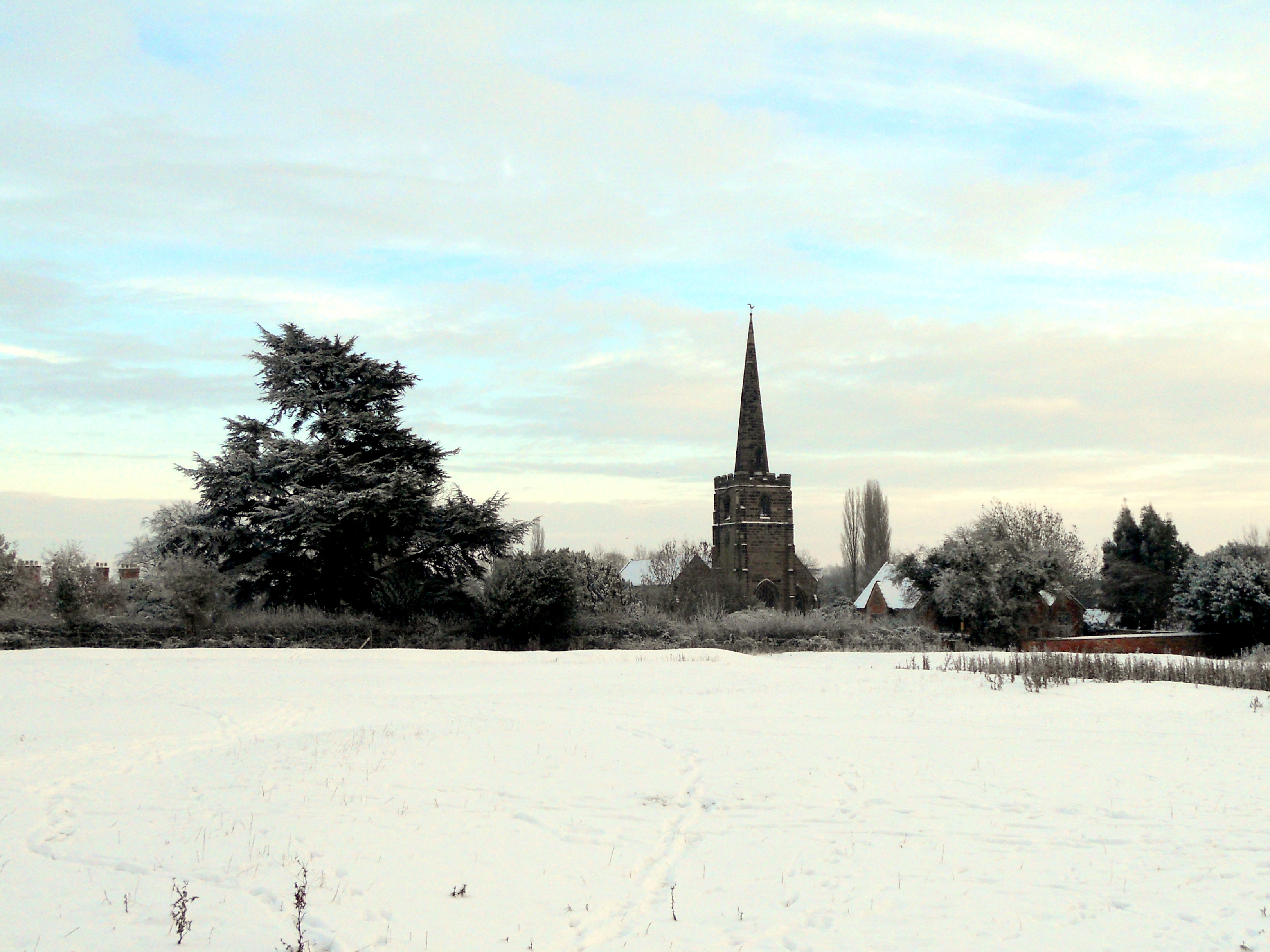
Although small in size, Appleby Parva has some notable features. St. Michael and All Angels Church, a beautiful medieval church, stands in the heart of the village and serves as a focal point for community gatherings and religious services. The village also boasts a local pub, The Black Horse, which offers a warm and friendly atmosphere for locals and visitors alike.

The surrounding countryside provides ample opportunities for outdoor activities, such as walking, hiking, and cycling. The nearby Ashby Woulds Heritage Trail offers a scenic route for nature enthusiasts to explore the area's natural beauty.

Overall, Appleby Parva is a charming and tranquil village that offers a slice of rural English life. Its historic buildings, close community, and proximity to nature make it an attractive place to live or visit in Leicestershire.

If you have any feedback on the listing, please let us know in the comments section below.

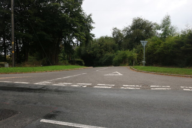
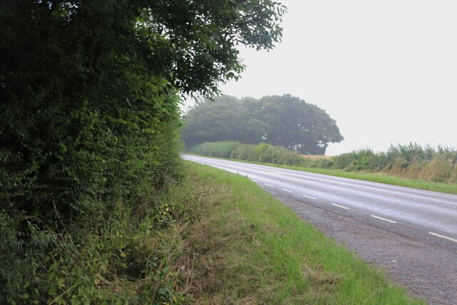
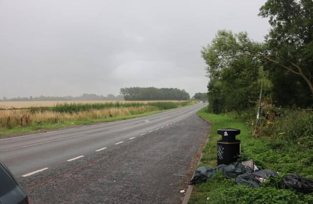
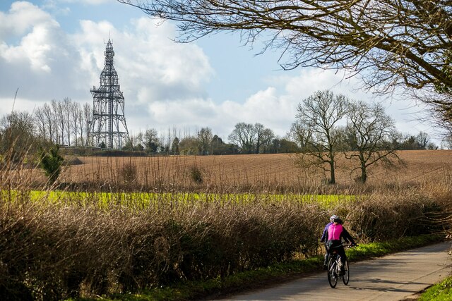
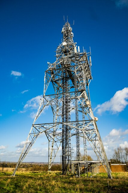
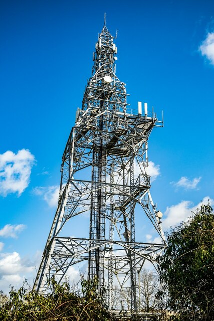
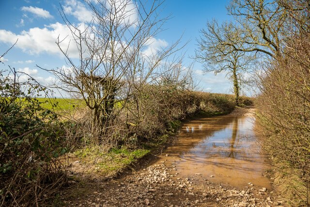
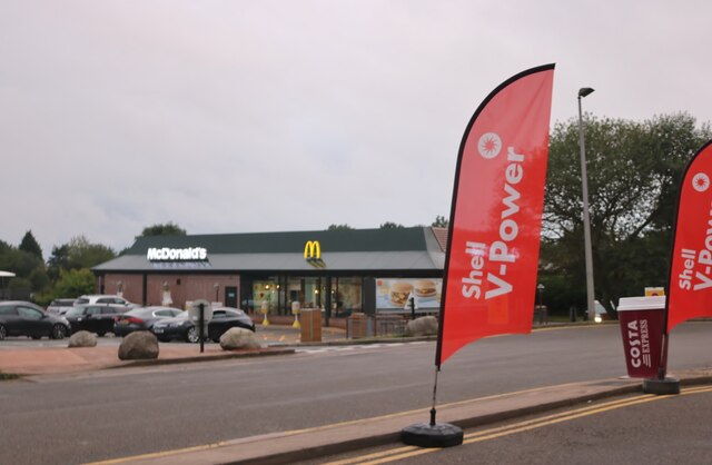
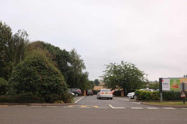
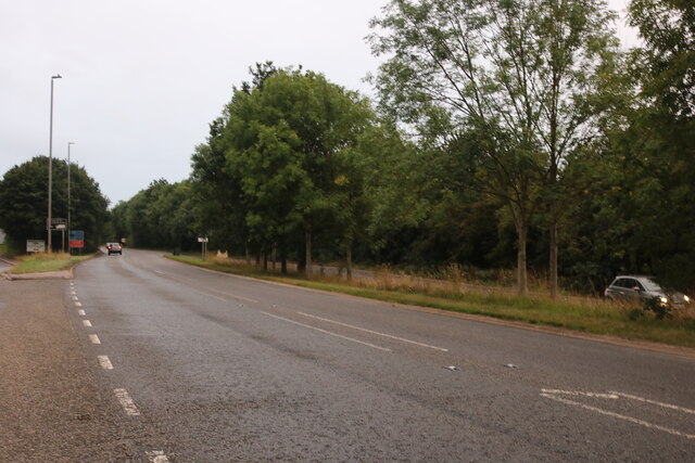
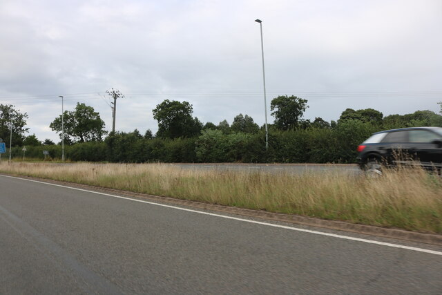
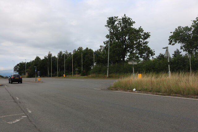
Appleby Parva Images

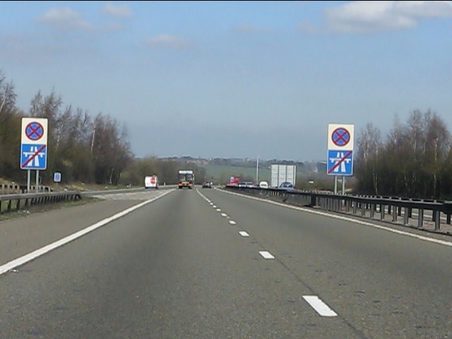
Images are sourced within 2km of 52.6769/-1.544418 or Grid Reference SK3008. Thanks to Geograph Open Source API. All images are credited.

Austrey Lane, Appleby Parva From Atherstone Road
Austrey Lane, Appleby Parva
From Atherstone Road
Atherstone Road south of Appleby Parva Tatborough Spinney is on the right of the road
Atherstone Road south of Appleby Parva
Tatborough Spinney is on the right of the road
Layby on Atherstone Road south of Appleby Parva
Austrey Road, Appleby Parva A narrow lane, connecting Appleby Parva (and Magna) with Austrey. On the horizon - an unignorable feature - is the Twycross Microwave Transmitting Station.
Austrey Road, Appleby Parva
A narrow lane, connecting Appleby Parva (and Magna) with Austrey. On the horizon - an unignorable feature - is the Twycross Microwave Transmitting Station.
Twycross Microwave Transmitting Station A wireless relay station constructed in about 1967. Its long term existence has seen the transmitting technology change repeatedly, with "horn antennas" replaced with dishes, and recently with more compact antennas.
Taken from Salt Street.
Twycross Microwave Transmitting Station
A wireless relay station constructed in about 1967. Its long term existence has seen the transmitting technology change repeatedly, with "horn antennas" replaced with dishes, and recently with more compact antennas. Taken from Salt Street.
Twycross Microwave Transmitting Station A wireless relay station constructed in about 1967. Its long term existence has seen the transmitting technology change repeatedly, with "horn antennas" replaced with dishes, and recently with more compact antennas.

Taken from Salt Street. Here is a closer range view which shows more surrounding geographic context, at the cost of the flattering perspective. <a href="https://www.geograph.org.uk/photo/7105477">SK3008 : Twycross Microwave Transmitting Station</a>
Twycross Microwave Transmitting Station
A wireless relay station constructed in about 1967. Its long term existence has seen the transmitting technology change repeatedly, with "horn antennas" replaced with dishes, and recently with more compact antennas. Taken from Salt Street. Here is a closer range view which shows more surrounding geographic context, at the cost of the flattering perspective. SK3008 : Twycross Microwave Transmitting Station
A diversion on Salt Street (rural-style), Appleby Parva After much rainfall, Salt street was hopelessly flooded along much of its length, with some parts nearly impassable. Gladly an opening in the hedgerow at the beginning of the blockage allowed passage via the adjacent field. Returning to Salt Street after the blockage was more difficult, and further blockages did not provide similar diversions.
A diversion on Salt Street (rural-style), Appleby Parva
After much rainfall, Salt street was hopelessly flooded along much of its length, with some parts nearly impassable. Gladly an opening in the hedgerow at the beginning of the blockage allowed passage via the adjacent field. Returning to Salt Street after the blockage was more difficult, and further blockages did not provide similar diversions.
McDonald's, Appleby Magna
McDonald's car park, Appleby Magna
Acresford Road, Appleby Magna
Atherstone Road, Appleby Magna
M42 Motorway near Appleby Parva The parapet ahead on the right marks the passage of a farm track underneath the motorway.
M42 Motorway near Appleby Parva
The parapet ahead on the right marks the passage of a farm track underneath the motorway.
M42 Motorway - farm bridge south of junction 11
M42 Motorway approaching junction 11
M42 Motorway - junction 11 bridges Another classic UK roundabout junction with two separate bridges.
M42 Motorway - junction 11 bridges
Another classic UK roundabout junction with two separate bridges.
End of Motorway The "crossed chopsticks" signs indicate that the M42 ends, to be instantly replaced by the "clearway" of the A42. The M42/A42 saga is a typical UK bodge roadbuilding tale, with an end result which probably pleases nobody. For more details, see: <span class="nowrap"><a title="http://www.cbrd.co.uk/motorway/m42" rel="nofollow ugc noopener" href="http://www.cbrd.co.uk/motorway/m42">Link</a><img style="margin-left:2px;" alt="External link" title="External link - shift click to open in new window" src="https://s1.geograph.org.uk/img/external.png" width="10" height="10"/></span>
End of Motorway
The "crossed chopsticks" signs indicate that the M42 ends, to be instantly replaced by the "clearway" of the A42. The M42/A42 saga is a typical UK bodge roadbuilding tale, with an end result which probably pleases nobody. For more details, see: LinkExternal link
Pasture by the M42 Early morning view from the McDonald's car park at Appleby Magna.
Pasture by the M42
Early morning view from the McDonald's car park at Appleby Magna.
Show me another place!

Appleby Parva is located at Grid Ref: SK3008 (Lat: 52.6769, Lng: -1.544418)

Administrative County: Leicestershire

District: North West Leicestershire

Police Authority: Leicestershire

What 3 Words

///belief.onto.craziest. Near Measham, Leicestershire

Related Wikis

Appleby Parva

Appleby Parva, or Little Appleby (Known locally as Over-Town), part of the parish of Appleby Magna in Leicestershire, is a hamlet about 1 mile (1.6 km...
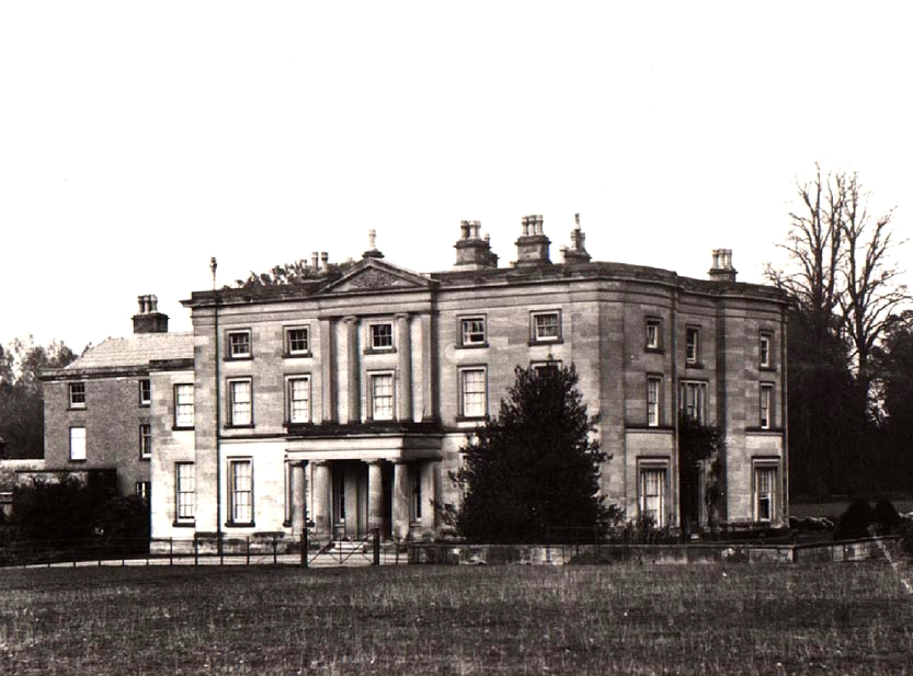
Appleby Hall

Appleby Hall was a manor house or stately home built in the small hamlet of Appleby Parva, on the outskirts of Appleby Magna. A Manor was mentioned in...

Sir John Moore Church of England Primary School

Sir John Moore Church of England Primary School, previously known as Appleby Grammar School, is a junior school situated in the village of Appleby Magna...

Appleby Magna

Appleby Magna is a village and civil parish in the North West Leicestershire district, in the county of Leicestershire, England. It includes the small...

Nearby Amenities

Located within 500m of 52.6769,-1.544418
Appleby Parva
Place: village
Wikidata: Q4781315
Wikipedia: en:Appleby Parva
Lat/Long: 52.676747/-1.5444299
Appleby Inn
Addr City: Swadlincote
Addr Postcode: DE12 7AP
Addr Street: Atherstone Road
Addr Village: Applyby Parva
Fhrs Id: 8752
Tourism: hotel
Lat/Long: 52.6774912/-1.5457352
The data included in this document is from www.openstreetmap.org. The data is made available under ODbL.

Have you been to Appleby Parva?

Leave your review of Appleby Parva below (or comments, questions and feedback).