West Coppice

Wood, Forest in Dorset

England

West Coppice

The Orange Way in Dorset and Somerset (42) A minor road is reached.
The Orange Way in Dorset and Somerset (42) Credit: Shazz

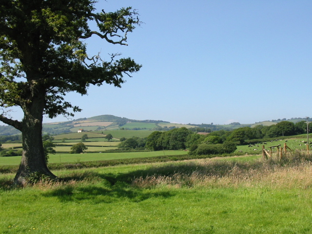
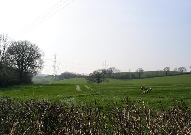
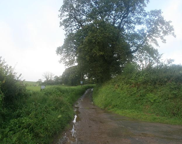
West Coppice is a picturesque wood located in the county of Dorset, England. Situated near the village of West Moors, it covers an area of approximately 50 hectares and is a popular destination for nature enthusiasts and outdoor enthusiasts alike.

The wood is characterized by its dense canopies of native broadleaf trees, mainly consisting of oak, beech, and ash. These towering trees provide a sheltered habitat for a variety of wildlife, including birds, small mammals, and insects. The forest floor is carpeted with a diverse range of flora, such as bluebells, primroses, and ferns, creating a vibrant and colorful landscape, particularly during the spring and summer months.

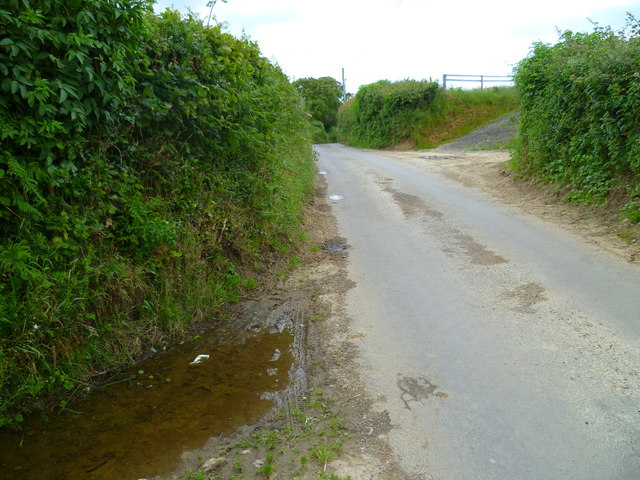
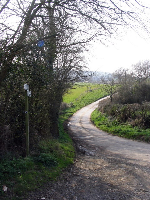
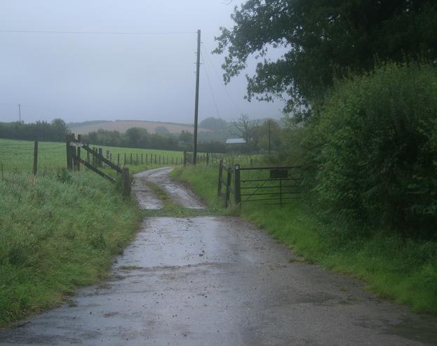
West Coppice is traversed by a network of well-maintained footpaths, allowing visitors to explore its natural beauty. These paths wind through the woodland, offering glimpses of tranquil glades, babbling brooks, and ancient trees. The wood also features several picnic areas, providing a peaceful spot for visitors to relax and enjoy the surroundings.

In addition to its natural beauty, West Coppice has historical significance as well. The wood is believed to have been part of an ancient hunting ground during the medieval period. Today, remnants of old deer parks and earthworks can still be found within the wood, serving as a reminder of its rich heritage.

Overall, West Coppice is a haven of tranquility and natural splendor, offering visitors the opportunity to immerse themselves in the beauty of Dorset's woodlands. Whether it be for a leisurely stroll, a picnic, or wildlife spotting, this enchanting forest is sure to captivate all who venture into its depths.

If you have any feedback on the listing, please let us know in the comments section below.
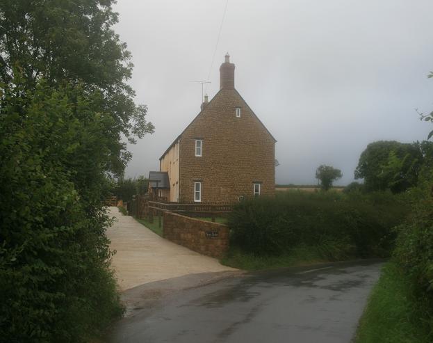
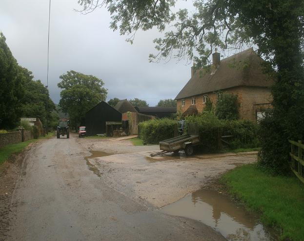
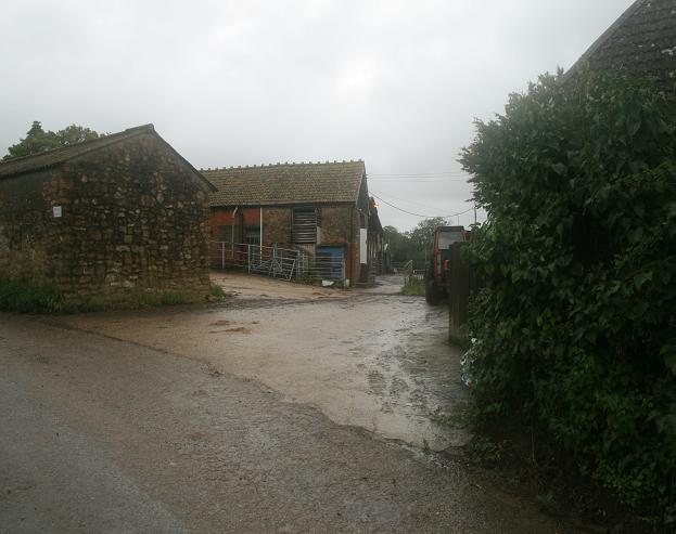
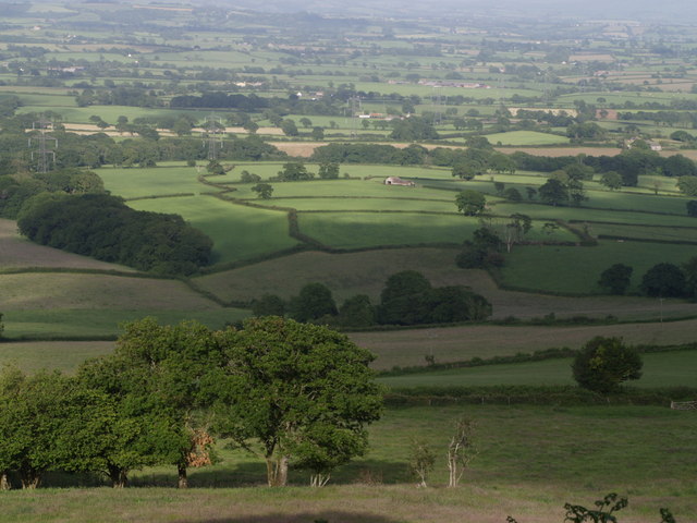
West Coppice Images

Images are sourced within 2km of 50.780563/-2.8017589 or Grid Reference SY4398. Thanks to Geograph Open Source API. All images are credited.

The Orange Way in Dorset and Somerset (42) A minor road is reached.
The Orange Way in Dorset and Somerset (42)
A minor road is reached.
Jubilee Trail west of Four Ashes Leaving the lane to Blackney to follow footpath W43 29 across this corn field, as seen in <a href="https://www.geograph.org.uk/photo/5484305">ST4300 : Brimley Coombe Farm</a>.
Jubilee Trail west of Four Ashes
Leaving the lane to Blackney to follow footpath W43 29 across this corn field, as seen in ST4300 : Brimley Coombe Farm.
Jubilee Trail west of Four Ashes The trail leaves the lane to Blackney here to cross the field on the right, as shown in <a href="https://www.geograph.org.uk/photo/5484318">ST4300 : Jubilee Trail west of Four Ashes</a>.
Jubilee Trail west of Four Ashes
The trail leaves the lane to Blackney here to cross the field on the right, as shown in ST4300 : Jubilee Trail west of Four Ashes.
Bridleway to Blackney Taking the high route to Blackney rather than the descending route preferred by the lane it is leaving, this is bridleway W43 17, seen on the other side of the lane from <a href="https://www.geograph.org.uk/photo/5484367">ST4300 : Bridleway sign west of Four Ashes</a> and <a href="https://www.geograph.org.uk/photo/5484322">ST4300 : Jubilee Trail west of Four Ashes</a>. The lane, but not this bridleway, is used by the Jubilee Trail.
Bridleway to Blackney
Taking the high route to Blackney rather than the descending route preferred by the lane it is leaving, this is bridleway W43 17, seen on the other side of the lane from ST4300 : Bridleway sign west of Four Ashes and ST4300 : Jubilee Trail west of Four Ashes. The lane, but not this bridleway, is used by the Jubilee Trail.
Fields near Paddock's Cross
Near Denhay Farms, Broadoak A view across fields near the Denhay Corner House and Upper and Lower Denhay Farms, near Broadoak.
Near Denhay Farms, Broadoak
A view across fields near the Denhay Corner House and Upper and Lower Denhay Farms, near Broadoak.
Track to Denhay Farms This is the point where the "road, generally less than 4m wide" towards Denhay Farms veers right and becomes an "other road, drive or track". The signs indicate that it is also a public bridleway.
Track to Denhay Farms
This is the point where the "road, generally less than 4m wide" towards Denhay Farms veers right and becomes an "other road, drive or track". The signs indicate that it is also a public bridleway.
Unusual view of an electricity pylon You'll have to take my word that this is the actual pylon at the precise grid reference I've entered - also, there is no option in "direction photographer facing" for UP! 
Interestingly, when comparing the 1:50000 map on Geograph with the 1:25000 map I was carrying, there is quite a big discrepancy between the exact siting of the pylons. This one is only shown on the larger scale map.
Unusual view of an electricity pylon
You'll have to take my word that this is the actual pylon at the precise grid reference I've entered - also, there is no option in "direction photographer facing" for UP! Interestingly, when comparing the 1:50000 map on Geograph with the 1:25000 map I was carrying, there is quite a big discrepancy between the exact siting of the pylons. This one is only shown on the larger scale map.
Broadoak: church of St. Paul Built in 1865
Broadoak: church of St. Paul
Built in 1865
Gollop Arms The Gollop Arms, South Bowood on the B3162 as viewed from the east
Gollop Arms
The Gollop Arms, South Bowood on the B3162 as viewed from the east
Backney Farm
Backney Farm
A dead tree at Monkwood Farm
The remains of an old orchard Obviously an orchard at one time, but only a small number of trees remain. Of those that are left, some have fallen over, but still manage to bear fruit.
The remains of an old orchard
Obviously an orchard at one time, but only a small number of trees remain. Of those that are left, some have fallen over, but still manage to bear fruit.
Track to Gerrard's Farm
Road leading to Glitney Farm
Hunts Holme Hunts Holme house viewed from the south
Hunts Holme
Hunts Holme house viewed from the south
Monkwood Farm
Monkwood Farm
Yard Farm
Yard Farm
Show me another place!

West Coppice is located at Grid Ref: SY4398 (Lat: 50.780563, Lng: -2.8017589)

Unitary Authority: Dorset

Police Authority: Dorset

What 3 Words

///labels.straddled.logged. Near Beaminster, Dorset

Related Wikis

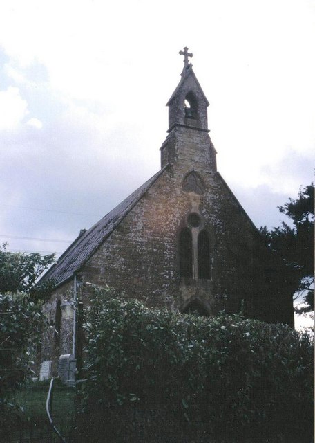
St Paul's Church, Broadoak

St Paul's Church is a Church of England church in Broadoak, Dorset, England. It was designed by Thomas Talbot Bury and built in 1865–66. The church has...

Marshwood Vale

The Marshwood Vale (or Vale of Marshwood) is a low-lying, bowl-shaped valley of Lower Lias clay, in the western tip of the county of Dorset in south-west...

Holy Trinity Church, Salway Ash

Holy Trinity Church is a Church of England church in Salway Ash, Dorset, England. The church was designed by George Crickmay and built in 1887–89. It now...

Pilsdon

Pilsdon is a hamlet and civil parish in the Dorset unitary authority area of Dorset, England. Dorset County Council's 2013 mid-year estimate of the parish...

Have you been to West Coppice?

Leave your review of West Coppice below (or comments, questions and feedback).