Miller's Clump
Wood, Forest in Shropshire
England
Miller's Clump

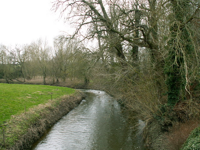
Miller's Clump is a picturesque woodland located in Shropshire, England. Situated near the village of Clun, this enchanting forest covers an area of approximately 100 acres, boasting a rich diversity of flora and fauna. The woodland is characterized by its dense canopy of ancient oak and beech trees, which provide a serene and tranquil atmosphere for visitors.
One of the most striking features of Miller's Clump is its varied topography. The forest is adorned with gentle undulating hills, creating a mesmerizing landscape that offers breathtaking views from different vantage points. The forest floor is covered in a lush carpet of wildflowers, including bluebells, primroses, and foxgloves, adding vibrant splashes of color to the greenery.
Miller's Clump is also home to a diverse range of wildlife. Visitors may spot deer, foxes, badgers, and a myriad of bird species, including woodpeckers, owls, and thrushes. The forest provides a vital habitat and sanctuary for these creatures, making it a haven for nature enthusiasts and wildlife photographers.
The woodland offers a network of well-maintained walking trails, allowing visitors to explore its hidden corners and discover its natural wonders. There are also designated picnic areas where visitors can relax and enjoy the serene surroundings, making it an ideal destination for families and outdoor enthusiasts.
In conclusion, Miller's Clump is a captivating woodland in Shropshire, renowned for its ancient trees, diverse wildlife, and stunning landscape. It offers a peaceful retreat for those seeking solace in nature, while also providing an opportunity to learn about and appreciate the beauty of the natural world.
If you have any feedback on the listing, please let us know in the comments section below.
Miller's Clump Images
Images are sourced within 2km of 52.746229/-2.8374418 or Grid Reference SJ4316. Thanks to Geograph Open Source API. All images are credited.


Miller's Clump is located at Grid Ref: SJ4316 (Lat: 52.746229, Lng: -2.8374418)
Unitary Authority: Shropshire
Police Authority: West Mercia
What 3 Words
///perusing.drop.give. Near Bicton, Shropshire
Nearby Locations
Related Wikis
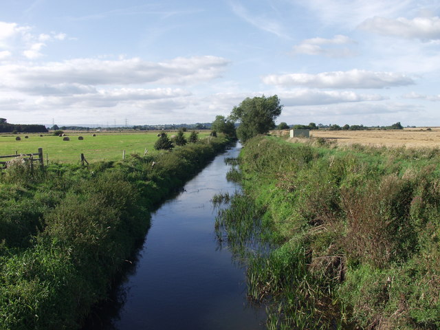
River Perry
The River Perry is a river in Shropshire, England. It rises near Oswestry and flows south to meet the River Severn above Shrewsbury. Along its 24 miles...

RAF Montford Bridge
Royal Air Force Montford Bridge, or more simply RAF Montford Bridge, is a former Royal Air Force satellite station, located near Shrewsbury, Shropshire...
Mytton, Shropshire
Mytton is a hamlet in Shropshire, England. It is situated in the parish of Pimhill, near to the small village of Fitz. Jonnie Woodall (1946-2009), Olympian...

Forton Heath
Forton Heath is a hamlet in Shropshire, England. It is located north of Montford Bridge, near to the small village of Fitz and near to the hamlets of Broomfields...
Nearby Amenities
Located within 500m of 52.746229,-2.8374418Have you been to Miller's Clump?
Leave your review of Miller's Clump below (or comments, questions and feedback).