Farthing's Coppice

Wood, Forest in Dorset

England

Farthing's Coppice

Stoke Abbott: Four Ashes crossroads This traditional Dorset signpost retains its original finial, giving location and grid reference details. The Whitchurch referred to is Whitchurch Canonicorum.

For a close-up of the finial, see <a href="https://www.geograph.org.uk/photo/1784564">ST4400 : Stoke Abbott: Four Ashes finger-post detail</a>.
Stoke Abbott: Four Ashes crossroads Credit: Chris Downer

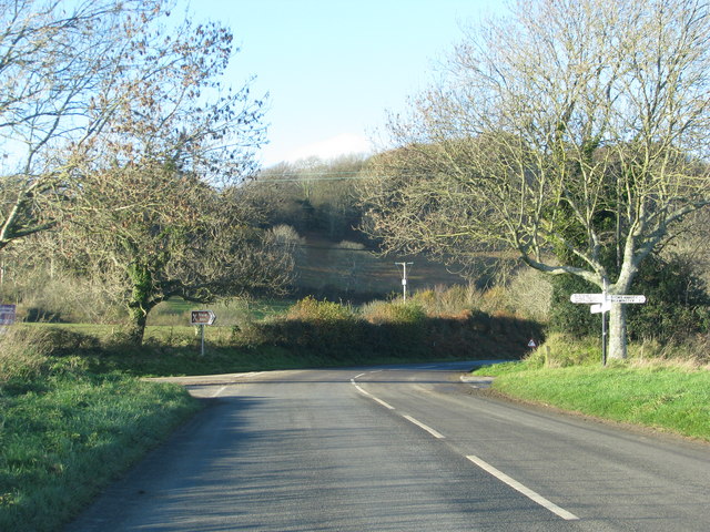
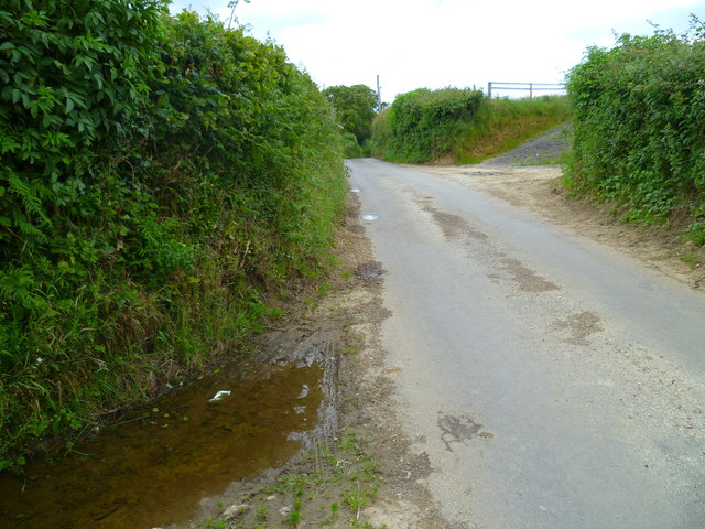
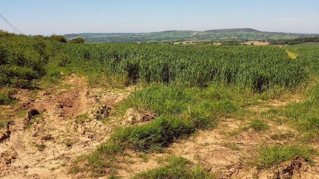
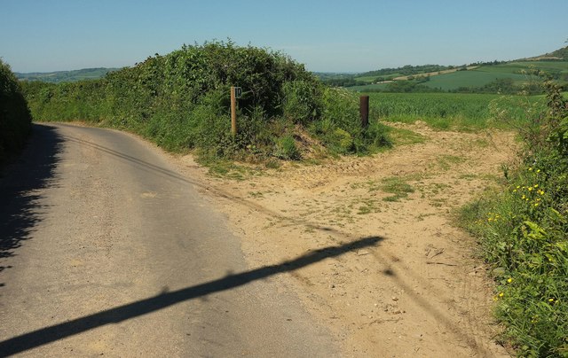
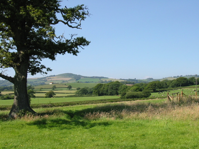
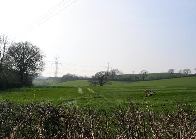
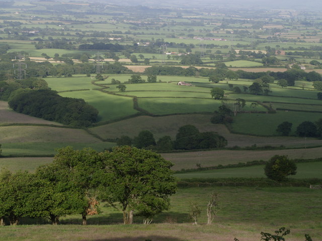
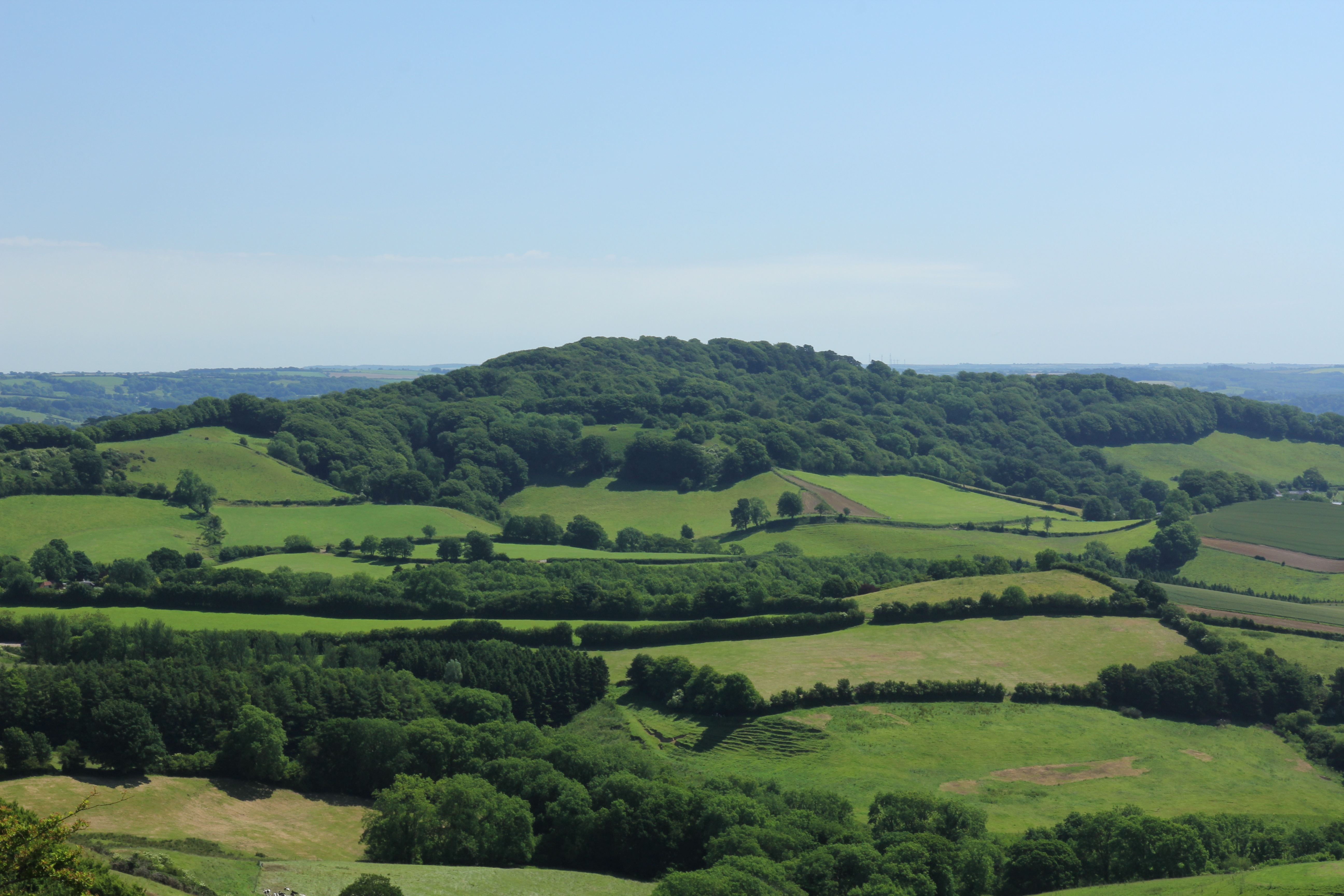
Farthing's Coppice is a picturesque woodland located in the county of Dorset, England. Covering an area of approximately 50 acres, it is considered to be one of the most enchanting forests in the region. The coppice is nestled in the heart of the Dorset countryside, surrounded by rolling hills and meandering streams.

The woodland is predominantly made up of a diverse range of native tree species, including oak, beech, ash, and birch. These towering trees create a dense canopy that provides shade and shelter to a variety of flora and fauna. Bluebells, primroses, and wild garlic carpet the forest floor during the spring months, adding a burst of color to the otherwise green landscape.

Farthing's Coppice is also home to a rich array of wildlife. Deer, foxes, and badgers can often be spotted roaming through the undergrowth, while a chorus of bird songs fills the air. The forest attracts birdwatchers from far and wide, as it offers a habitat for woodland birds such as woodpeckers, owls, and warblers.

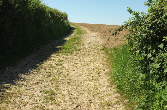
Visitors to Farthing's Coppice can explore the forest through a network of well-maintained footpaths. These paths wind their way through the trees, offering glimpses of hidden clearings and tranquil ponds. There are also benches strategically placed along the trails, allowing visitors to rest and soak in the peaceful ambiance.

Farthing's Coppice is a haven for nature lovers and outdoor enthusiasts alike. Its untouched beauty and tranquil atmosphere make it the perfect destination for those seeking solace in nature's embrace.

If you have any feedback on the listing, please let us know in the comments section below.

Farthing's Coppice Images

Images are sourced within 2km of 50.781788/-2.7975671 or Grid Reference SY4398. Thanks to Geograph Open Source API. All images are credited.

Stoke Abbott: Four Ashes crossroads This traditional Dorset signpost retains its original finial, giving location and grid reference details. The Whitchurch referred to is Whitchurch Canonicorum.

For a close-up of the finial, see <a href="https://www.geograph.org.uk/photo/1784564">ST4400 : Stoke Abbott: Four Ashes finger-post detail</a>.
Stoke Abbott: Four Ashes crossroads
This traditional Dorset signpost retains its original finial, giving location and grid reference details. The Whitchurch referred to is Whitchurch Canonicorum. For a close-up of the finial, see ST4400 : Stoke Abbott: Four Ashes finger-post detail.
Stoke Abbott: Four Ashes finger-post detail A close-up of the finial of the finger-post (see <a href="https://www.geograph.org.uk/photo/1784560">ST4400 : Stoke Abbott: Four Ashes crossroads</a>), giving location and grid reference details.
Stoke Abbott: Four Ashes finger-post detail
A close-up of the finial of the finger-post (see ST4400 : Stoke Abbott: Four Ashes crossroads), giving location and grid reference details.
Road junction at Four Ashes
The Orange Way in Dorset and Somerset (41)
The Orange Way in Dorset and Somerset (42) A minor road is reached.
The Orange Way in Dorset and Somerset (42)
A minor road is reached.
Footpath near Four Ashes This footpath which runs between the hedgerow and the stand is part of the Jubilee Way long distance footpath on the section between Stoke Abbot and Pilsdon Manor. In the background can be seen Pilsdon Pen the 277 metre high second highest point in Dorset which is an former Iron Age hill fort.
Footpath near Four Ashes
This footpath which runs between the hedgerow and the stand is part of the Jubilee Way long distance footpath on the section between Stoke Abbot and Pilsdon Manor. In the background can be seen Pilsdon Pen the 277 metre high second highest point in Dorset which is an former Iron Age hill fort.
Four Ashes Crossroads
Four Ashes The Jubilee  Trail crosses the B3162 at this crossroads, heading towards Blackney past the cottage ahead.
Four Ashes
The Jubilee Trail crosses the B3162 at this crossroads, heading towards Blackney past the cottage ahead.
Signpost at Four Ashes I think this signpost must have been shifted, if <a href="https://www.geograph.org.uk/photo/1784560">ST4400 : Stoke Abbott: Four Ashes crossroads</a> is anything to go by. The road in the background is the B3162 to Buck's Head; behind rises Crabb's Hill.
Signpost at Four Ashes
I think this signpost must have been shifted, if ST4400 : Stoke Abbott: Four Ashes crossroads is anything to go by. The road in the background is the B3162 to Buck's Head; behind rises Crabb's Hill.
Jubilee Trail west of Four Ashes Leaving the lane to Blackney to follow footpath W43 29 across this corn field, as seen in <a href="https://www.geograph.org.uk/photo/5484305">ST4300 : Brimley Coombe Farm</a>.
Jubilee Trail west of Four Ashes
Leaving the lane to Blackney to follow footpath W43 29 across this corn field, as seen in ST4300 : Brimley Coombe Farm.
Jubilee Trail west of Four Ashes The trail leaves the lane to Blackney here to cross the field on the right, as shown in <a href="https://www.geograph.org.uk/photo/5484318">ST4300 : Jubilee Trail west of Four Ashes</a>.
Jubilee Trail west of Four Ashes
The trail leaves the lane to Blackney here to cross the field on the right, as shown in ST4300 : Jubilee Trail west of Four Ashes.
Bridleway sign west of Four Ashes Bridleway W43 40 leaves the lane (which is followed by the Jubilee Trail) diagonally to the left; on the other side of the lane it becomes W43 17.
Bridleway sign west of Four Ashes
Bridleway W43 40 leaves the lane (which is followed by the Jubilee Trail) diagonally to the left; on the other side of the lane it becomes W43 17.
Bridleway to Blackney Taking the high route to Blackney rather than the descending route preferred by the lane it is leaving, this is bridleway W43 17, seen on the other side of the lane from <a href="https://www.geograph.org.uk/photo/5484367">ST4300 : Bridleway sign west of Four Ashes</a> and <a href="https://www.geograph.org.uk/photo/5484322">ST4300 : Jubilee Trail west of Four Ashes</a>. The lane, but not this bridleway, is used by the Jubilee Trail.
Bridleway to Blackney
Taking the high route to Blackney rather than the descending route preferred by the lane it is leaving, this is bridleway W43 17, seen on the other side of the lane from ST4300 : Bridleway sign west of Four Ashes and ST4300 : Jubilee Trail west of Four Ashes. The lane, but not this bridleway, is used by the Jubilee Trail.
B3162 and Crabb's Hill
Head of the valley, below Four Ashes
Four Ashes
Four Ashes
Fields near Paddock's Cross
Near Denhay Farms, Broadoak A view across fields near the Denhay Corner House and Upper and Lower Denhay Farms, near Broadoak.
Near Denhay Farms, Broadoak
A view across fields near the Denhay Corner House and Upper and Lower Denhay Farms, near Broadoak.
Show me another place!

Farthing's Coppice is located at Grid Ref: SY4398 (Lat: 50.781788, Lng: -2.7975671)

Unitary Authority: Dorset

Police Authority: Dorset

What 3 Words

///banquets.fears.contracting. Near Beaminster, Dorset

Related Wikis

Holy Trinity Church, Salway Ash

Holy Trinity Church is a Church of England church in Salway Ash, Dorset, England. The church was designed by George Crickmay and built in 1887–89. It now...

St Paul's Church, Broadoak

St Paul's Church is a Church of England church in Broadoak, Dorset, England. It was designed by Thomas Talbot Bury and built in 1865–66. The church has...

Salway Ash

Salway Ash (also spelt Salwayash) is a village in Dorset, England. Holy Trinity Church was built there in 1887–89. == References ==

Marshwood Vale

The Marshwood Vale (or Vale of Marshwood) is a low-lying, bowl-shaped valley of Lower Lias clay, in the western tip of the county of Dorset in south-west...

Pilsdon

Pilsdon is a hamlet and civil parish in the Dorset unitary authority area of Dorset, England. Dorset County Council's 2013 mid-year estimate of the parish...

Stoke Abbott

Stoke Abbott is a village and civil parish in west Dorset, England, 2 miles (3.2 km) west of Beaminster. In 2013 the estimated population of the parish...

Lewesdon Hill

Lewesdon Hill is a hill in west Dorset, England. With a maximum elevation of 279 m (915 ft), it is the highest point in Dorset. == Geography == === Location... ===

Netherbury

Netherbury is a village and civil parish in the English county of Dorset. It lies within the Dorset Council administrative area, by the small River Brit...

Have you been to Farthing's Coppice?

Leave your review of Farthing's Coppice below (or comments, questions and feedback).