Stooper's Hill Covert
Wood, Forest in Somerset South Somerset
England
Stooper's Hill Covert

Stooper's Hill Covert is a captivating woodland area located in Somerset, England. Spanning over a vast expanse, this enchanting forest offers a tranquil escape from the hustle and bustle of everyday life. With its dense canopy of trees and an array of diverse flora and fauna, Stooper's Hill Covert is a haven for nature enthusiasts and outdoor adventurers.
Situated on a gently sloping hill, the woodland is characterized by its ancient oak and beech trees, which provide a majestic backdrop to the surrounding landscape. The forest floor is adorned with a vibrant carpet of wildflowers, ferns, and mosses, creating a mesmerizing tapestry of colors and textures.
As visitors explore Stooper's Hill Covert, they may encounter a plethora of wildlife. The forest is home to various species, including deer, badgers, foxes, and a multitude of bird species. Nature enthusiasts can delight in observing these creatures in their natural habitat, as well as listening to the soothing sounds of birdsong that permeate the air.
The woodland also boasts a network of walking trails, allowing visitors to immerse themselves in the natural beauty while engaging in outdoor activities. These trails offer different levels of difficulty, catering to both casual strollers and avid hikers. Whether one chooses to embark on a leisurely stroll or an adventurous trek, Stooper's Hill Covert promises a mesmerizing and invigorating experience.
In conclusion, Stooper's Hill Covert in Somerset is a magnificent woodland that provides a serene and picturesque escape for nature lovers. With its diverse wildlife, awe-inspiring trees, and well-maintained trails, this forest offers a delightful haven for those seeking solace in the beauty of nature.
If you have any feedback on the listing, please let us know in the comments section below.
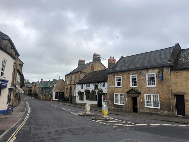
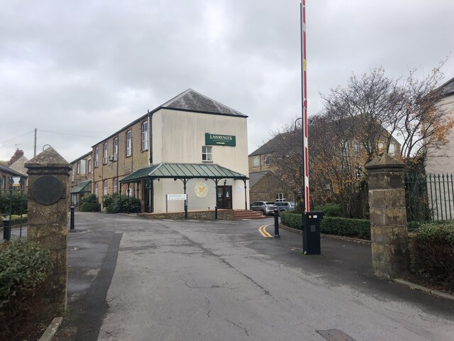
Stooper's Hill Covert Images
Images are sourced within 2km of 50.895799/-2.8037083 or Grid Reference ST4311. Thanks to Geograph Open Source API. All images are credited.


Stooper's Hill Covert is located at Grid Ref: ST4311 (Lat: 50.895799, Lng: -2.8037083)
Administrative County: Somerset
District: South Somerset
Police Authority: Avon and Somerset
What 3 Words
///expectant.reserving.encroach. Near Crewkerne, Somerset
Nearby Locations
Related Wikis
Beacon Limestone Formation
The Beacon Limestone Formation, historically known as the Junction Bed, is a formation of the early Jurassic age (Pliensbachian–Toarcian). It lies above...

Yeovil (UK Parliament constituency)
Yeovil is a constituency in Somerset created in 1918 and represented in the House of Commons of the Parliament of the United Kingdom. It has been represented...

Millwater
Millwater (grid reference ST439100) is a 1.4 hectare (3.5 acre) biological Site of Special Scientific Interest at Crewkerne in Somerset, notified in 1989...

Crewkerne Grammar School
Crewkerne Grammar School was a grammar school in the town of Crewkerne in the English county of Somerset. == History == The school was founded in 1499...
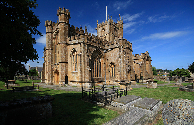
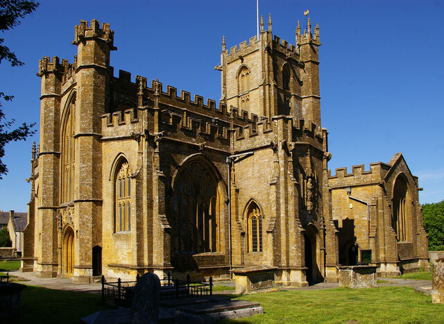
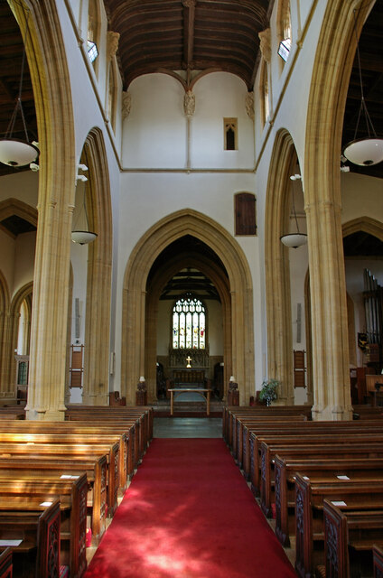
St Bartholomew's Church, Crewkerne
The Church of St Bartholomew in Crewkerne, Somerset, England dates from the 15th century and has been designated as a Grade I listed building.St Bartholomew...

Crewkerne Town Hall
Crewkerne Town Hall is a municipal building in the Market Square in Crewkerne, Somerset, England. The building, which is the meeting place of Crewkerne...
Wadham School
Wadham School is a school for pupils aged 11–18 situated on a 20-acre (81,000 m2) site on the outskirts of Crewkerne in Somerset, England. The school has...

Crewkerne Castle
Crewkerne Castle (which is also known as Castle Hill or Croft Castle) was possibly a Norman motte and bailey castle on a mound that is situated north-west...
Nearby Amenities
Located within 500m of 50.895799,-2.8037083Have you been to Stooper's Hill Covert?
Leave your review of Stooper's Hill Covert below (or comments, questions and feedback).