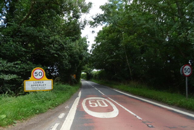
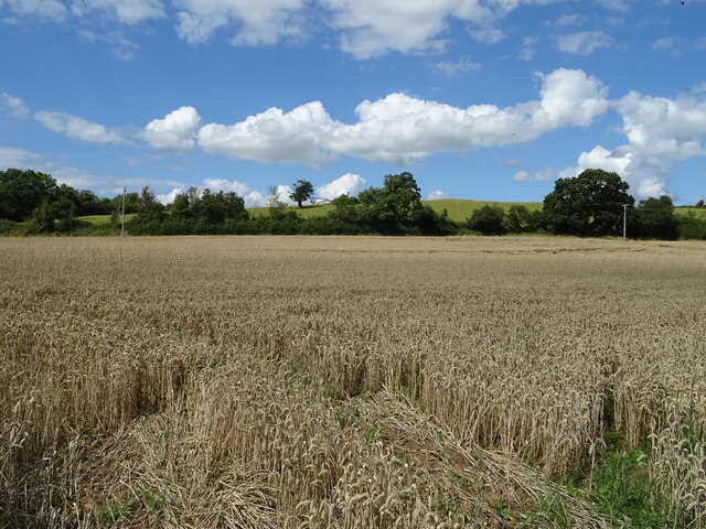
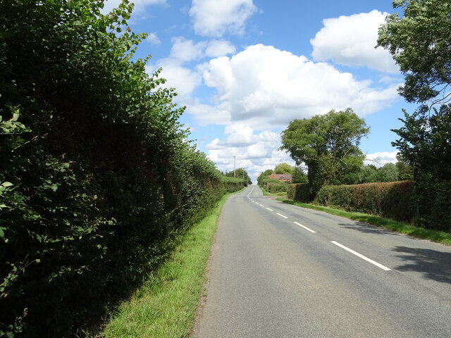
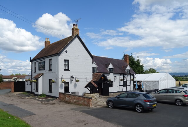
Apperley

Settlement in Gloucestershire Tewkesbury

England

Apperley

Old side for the Riverside Inn  The pub has now closed - see <a href="https://www.geograph.org.uk/photo/4976588">SO8427 : The Riverside Inn</a> for happier times.
Old side for the Riverside Inn Credit: JThomas

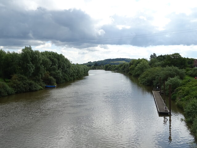
Apperley is a small village located in the county of Gloucestershire, England. Situated on the eastern bank of the River Severn, it is part of the Tewkesbury borough and lies approximately 8 miles southwest of the town of Tewkesbury.

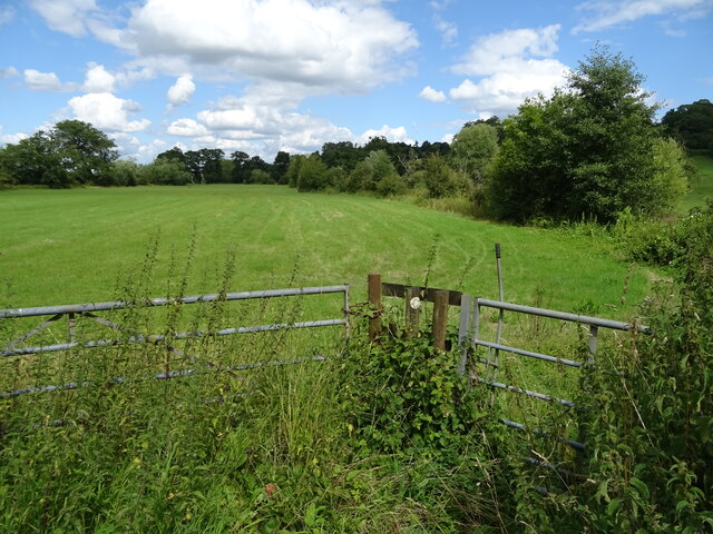
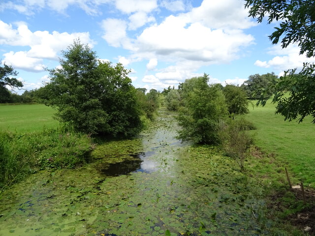
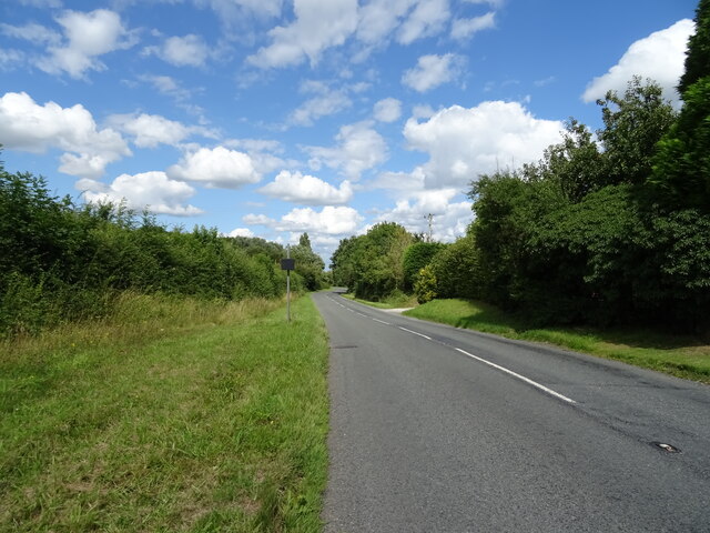
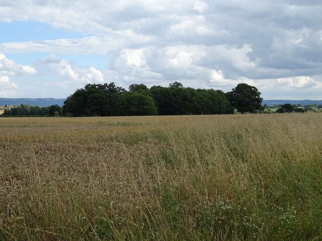
The village is known for its picturesque setting, surrounded by rolling countryside and offering stunning views of the river. It has a population of around 1,000 residents, creating a close-knit community atmosphere.

Apperley has a rich history, with evidence of human settlement dating back to the Roman era. The village was mentioned in the Domesday Book of 1086, highlighting its long-standing presence in the region.

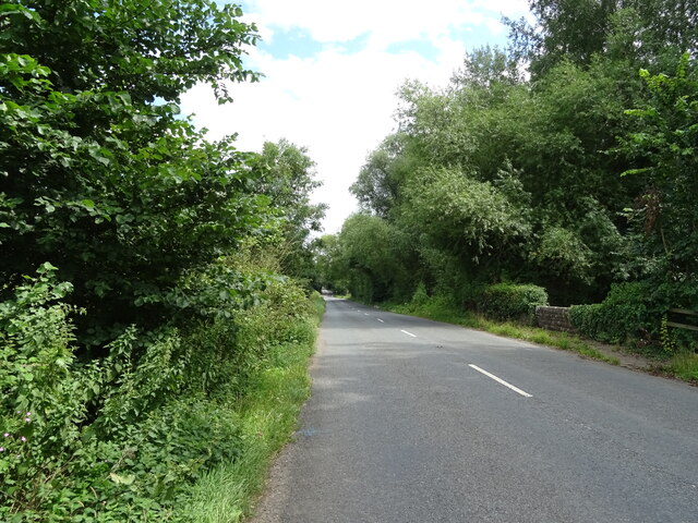
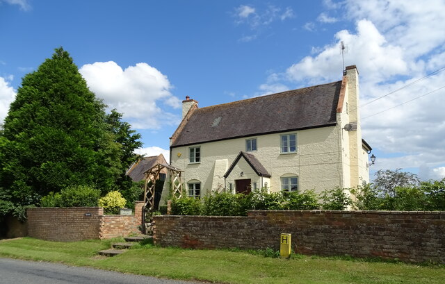
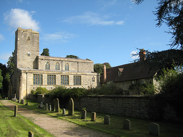
Today, Apperley maintains its rural charm, with traditional stone houses and thatched cottages dotting the landscape. The village is home to a historic church, St. Bartholomew's, which dates back to the 13th century and is a popular site for visitors interested in its architectural and historical significance.

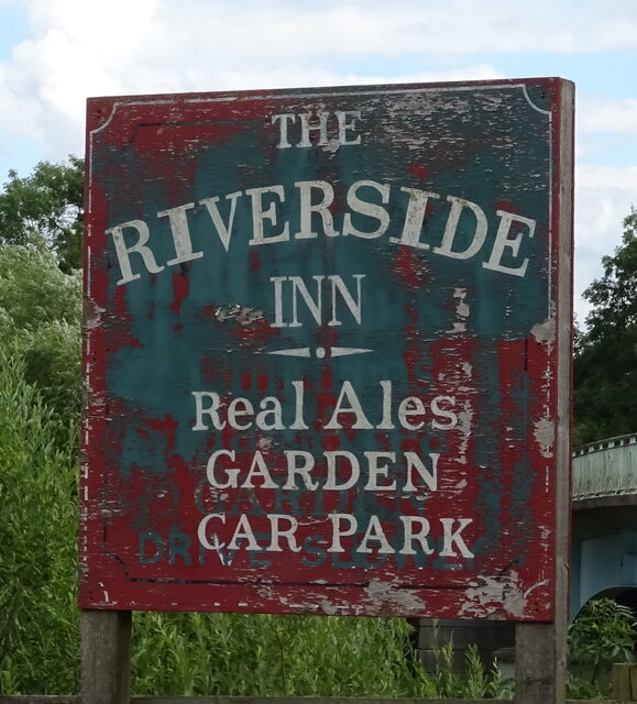
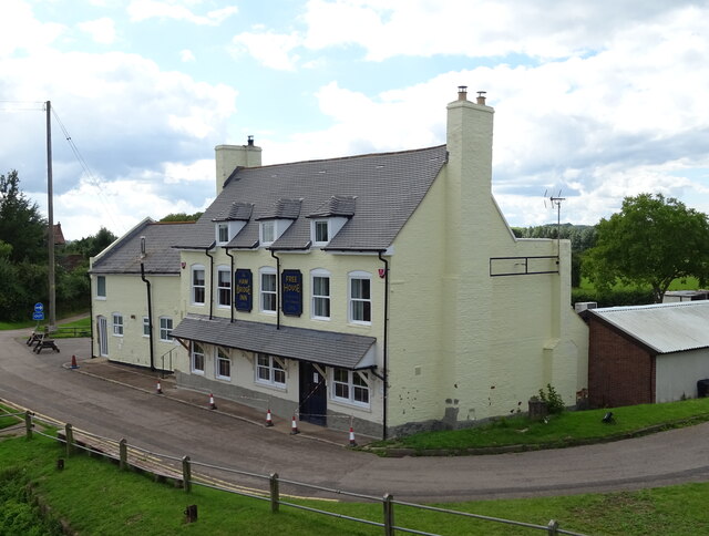
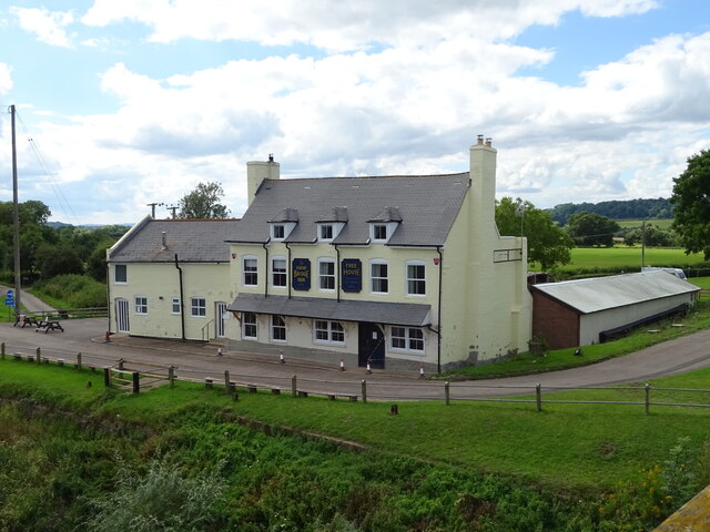
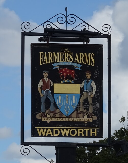
Despite its small size, Apperley offers a range of amenities for its residents and visitors. These include a village hall, a primary school, a local pub, and a recreational ground. The surrounding countryside provides ample opportunities for outdoor activities such as walking, cycling, and fishing.

Overall, Apperley is a tranquil village that embraces its natural surroundings and historical heritage, making it an attractive destination for those seeking a peaceful retreat in the heart of the Gloucestershire countryside.

If you have any feedback on the listing, please let us know in the comments section below.
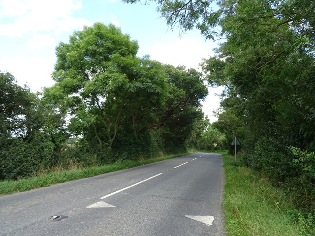
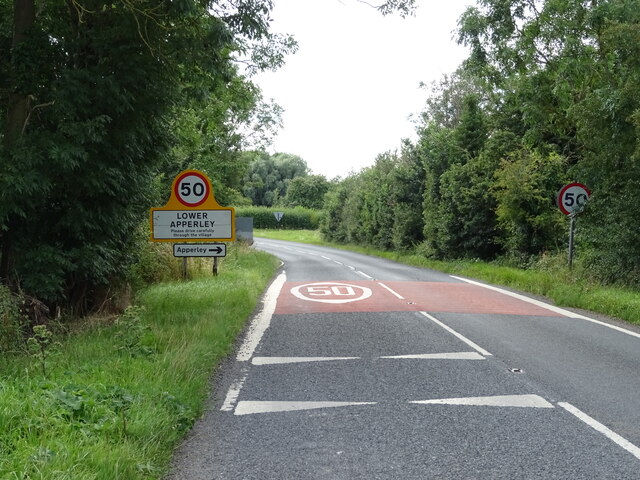
Apperley Images

Images are sourced within 2km of 51.951272/-2.200039 or Grid Reference SO8628. Thanks to Geograph Open Source API. All images are credited.

Old side for the Riverside Inn  The pub has now closed - see <a href="https://www.geograph.org.uk/photo/4976588">SO8427 : The Riverside Inn</a> for happier times.
Old side for the Riverside Inn
The pub has now closed - see SO8427 : The Riverside Inn for happier times.
The Haw Bridge Inn  From Haw Bridge.
The Haw Bridge Inn
From Haw Bridge.
The Haw Bridge Inn  From Haw Bridge.
The Haw Bridge Inn
From Haw Bridge.
On Haw Bridge Crossing the River Severn on the B4213.
On Haw Bridge
Crossing the River Severn on the B4213.
The River Severn View downstream from Haw Bridge.
The River Severn
View downstream from Haw Bridge.
Bridleway off the B4213
B4213 towards Lower Apperley
Handkerchief Pool A narrow pool on the flood plain.
Handkerchief Pool
A narrow pool on the flood plain.
Entering Lower Apperley On the B4213.
Entering Lower Apperley
On the B4213.
Cereal crop, Lower Apperley
B4213, Lower Apperley Towards the A38.
B4213, Lower Apperley
Towards the A38.
The Farmers Arms, Apperley  On the B4213.
The Farmers Arms, Apperley
On the B4213.
Sign for the Farmers Arms, Apperley
House on the B4213, Apperley
B4213, Apperley Towards the A38.
B4213, Apperley
Towards the A38.
Cereal crop towards Weir Plantation
B4213 towards Tewkesbury
Entering Lower Apperley On the B4213.
Entering Lower Apperley
On the B4213.
Show me another place!

Apperley is located at Grid Ref: SO8628 (Lat: 51.951272, Lng: -2.200039)

Administrative County: Gloucestershire

District: Tewkesbury

Police Authority: Gloucestershire

What 3 Words

///princely.clown.plausible. Near Tewkesbury, Gloucestershire

Related Wikis

Apperley

Apperley is a village in Gloucestershire, England, about 3 miles (5 km) southwest of Tewkesbury, 1 mile (1.6 km) south of Deerhurst and 1⁄3 mile (0.5 km...

Deerhurst

Deerhurst is a village and civil parish in Gloucestershire, England, about 2 miles (3 km) southwest of Tewkesbury. The village is on the east bank of the...

Odda's Chapel

Odda's Chapel is a former chantry chapel at Deerhurst, Gloucestershire. It is an 11th-century late Anglo-Saxon building, completed a decade before the...

St Mary's Priory Church, Deerhurst

St Mary's Priory Church, Deerhurst, is the Church of England parish church of Deerhurst, Gloucestershire, England. Much of the church is Anglo-Saxon. It...

Leigh, Gloucestershire

Leigh is a village and civil parish in the district of Tewkesbury, in the county of Gloucestershire, England. As of 2019, it has a population of 325....

River Chelt

The River Chelt is a tributary of England's largest river, the Severn. The Chelt flows through the western edge of the Cotswolds and the town of Cheltenham...

Coombe Hill Canal

Coombe Hill Canal lies in the Vale of Gloucester, south west England, north of Leigh and runs west 2.75 miles (4.43 km) from Coombe Hill Basin to the River...

Chaceley Meadow SSSI

Chaceley Meadow (grid reference SO857306) is a 1.8-hectare (4.4-acre) biological Site of Special Scientific Interest in Gloucestershire, notified in 1954...

Nearby Amenities

Located within 500m of 51.951272,-2.200039
Apperley
Is In: Gloucestershire, England, UK
Place: village
Postal Code: GL19 4
Wikidata: Q4781036
Lat/Long: 51.9540014/-2.2002369
Bus Stop
Westview
Bus: yes
Naptan AtcoCode: 1600GL4967
Naptan Bearing: N
Naptan CommonName: Westview
Naptan Indicator: before
Naptan NaptanCode: glodjapm
Naptan Street: School Road
Naptan Verified: no
Public Transport: platform
Source: naptan_import
Lat/Long: 51.9538068/-2.2019729
Bus Stop
Westview
Bus: yes
Naptan AtcoCode: 1600GL4968
Naptan Bearing: S
Naptan CommonName: Westview
Naptan Indicator: opp
Naptan NaptanCode: glodjapj
Naptan Street: School Road
Naptan Verified: no
Public Transport: platform
Source: naptan_import
Lat/Long: 51.9539479/-2.201816
Bus Stop
Cricket Club
Bus: yes
Naptan AtcoCode: 1600GL9067
Naptan Bearing: N
Naptan CommonName: Cricket Club
Naptan Indicator: by
Naptan NaptanCode: glodgwpm
Naptan Street: School Road
Naptan Verified: no
Public Transport: platform
Source: naptan_import
Lat/Long: 51.948293/-2.2035863
Bus Stop
Cricket Club
Bus: yes
Naptan AtcoCode: 1600GL9068
Naptan Bearing: S
Naptan CommonName: Cricket Club
Naptan Indicator: nr
Naptan NaptanCode: glodgwtd
Naptan Street: School Road
Naptan Verified: no
Public Transport: platform
Source: naptan_import
Lat/Long: 51.9482628/-2.2034346
Bus Stop
War Memorial
Bus: yes
Naptan AtcoCode: 1600GL9069
Naptan Bearing: N
Naptan CommonName: War Memorial
Naptan Indicator: by
Naptan NaptanCode: glodjagt
Naptan Street: School Rd
Naptan Verified: no
Public Transport: platform
Source: naptan_import
Lat/Long: 51.9520767/-2.2024333
Bus Stop
War Memorial
Bus: yes
Naptan AtcoCode: 1600GL9070
Naptan Bearing: S
Naptan CommonName: War Memorial
Naptan Indicator: nr
Naptan NaptanCode: glodjamd
Naptan Street: School Road
Naptan Verified: no
Public Transport: platform
Source: naptan_import
Lat/Long: 51.952176/-2.2022009
Bus Stop
Farmers' Arms
Naptan AtcoCode: 1600GL9135
Naptan Bearing: NE
Naptan CommonName: Farmers' Arms
Naptan Indicator: Opp
Naptan NaptanCode: glodjgdt
Naptan Street: B4213
Naptan Verified: no
Source: naptan_import
Lat/Long: 51.9495887/-2.1956126
Bus Stop
Farmers' Arms
Naptan AtcoCode: 1600GL9136
Naptan Bearing: SW
Naptan CommonName: Farmers' Arms
Naptan NaptanCode: glodjgjd
Naptan Street: B4213
Naptan Verified: no
Source: naptan_import
Lat/Long: 51.949571/-2.195467
Bus Stop
Apperley Park
Bus: yes
Naptan AtcoCode: 1600GL9141
Naptan Bearing: NE
Naptan CommonName: Apperley Park
Naptan Indicator: before
Naptan NaptanCode: glodjdmj
Naptan Street: Sawpit Lane
Naptan Verified: no
Public Transport: platform
Source: naptan_import
Lat/Long: 51.9545339/-2.1981235
Bus Stop
Apperley Park
Bus: yes
Naptan AtcoCode: 1600GL9142
Naptan Bearing: SW
Naptan CommonName: Apperley Park
Naptan Indicator: after
Naptan NaptanCode: glodjdmw
Naptan Street: Sawpit Lane
Naptan Verified: no
Public Transport: platform
Source: naptan_import
Lat/Long: 51.9544611/-2.1981274
Bus Stop
Severn Way
Bus: yes
Naptan AtcoCode: 1600GLT131
Naptan Bearing: N
Naptan CommonName: Severn Way
Naptan Indicator: Opp
Naptan NaptanCode: glodjdag
Naptan Street: Deerhurst Rd
Naptan Verified: no
Public Transport: platform
Source: naptan_import
Lat/Long: 51.9554065/-2.2006147
Fixme: incomplete
Lat/Long: 51.9472597/-2.1988612
Barrier: cycle_barrier
Lat/Long: 51.9549524/-2.1972206
Historic: memorial
Memorial: war_memorial
Lat/Long: 51.9516638/-2.2025658
Power: pole
Lat/Long: 51.9468945/-2.1996119
Power: pole
Lat/Long: 51.9475211/-2.1990526
Power: pole
Lat/Long: 51.9481324/-2.1985605
Power: pole
Lat/Long: 51.9482733/-2.1983399
Power: pole
Lat/Long: 51.948616/-2.1978477
Farmers Arms Apperley
Power: pole
Transformer: distribution
Voltage Primary: 11000
Lat/Long: 51.9494331/-2.1946076
Power: pole
Lat/Long: 51.9487747/-2.1953452
Mumfords Farm
Power: pole
Transformer: distribution
Voltage Primary: 11000
Lat/Long: 51.9487057/-2.1961686
Power: pole
Lat/Long: 51.9489049/-2.1966755
Power: pole
Lat/Long: 51.9491115/-2.1972053
Power: pole
Lat/Long: 51.9497034/-2.1965428
Power: pole
Lat/Long: 51.9506614/-2.1963872
Power: pole
Lat/Long: 51.951483/-2.1962558
Roefield
Power: pole
Transformer: distribution
Voltage Primary: 11000
Lat/Long: 51.9513871/-2.1934555
Power: pole
Lat/Long: 51.95164/-2.1944694
Power: pole
Lat/Long: 51.9519822/-2.1958709
Apperley
Power: pole
Transformer: distribution
Voltage Primary: 11000
Lat/Long: 51.9531797/-2.2006221
Location Transition: yes
Power: pole
Lat/Long: 51.9530158/-2.1997923
Power: pole
Lat/Long: 51.953058/-2.1986738
New House Cottage
Power: pole
Transformer: distribution
Voltage Primary: 11000
Lat/Long: 51.95312/-2.1974889
Power: pole
Lat/Long: 51.9531952/-2.1963463
Power: pole
Lat/Long: 51.9525699/-2.1954632
Power: pole
Lat/Long: 51.953327/-2.1948811
Apperley Green
Power: pole
Transformer: distribution
Voltage Primary: 11000
Lat/Long: 51.9516028/-2.2038504
Apperley Green South
Power: pole
Transformer: distribution
Voltage Primary: 11000
Lat/Long: 51.950949/-2.2052385
Power: pole
Lat/Long: 51.9514714/-2.2045009
Power: pole
Lat/Long: 51.9519516/-2.2038746
Power: pole
Lat/Long: 51.9524596/-2.203721
Power: pole
Lat/Long: 51.9529844/-2.2035299
Power: pole
Lat/Long: 51.9537204/-2.2059774
Power: pole
Lat/Long: 51.9537324/-2.2050186
Power: pole
Lat/Long: 51.9537403/-2.2044881
Power: pole
Lat/Long: 51.9535539/-2.2033549
Power: pole
Lat/Long: 51.9536857/-2.203314
Location Transition: yes
Power: pole
Lat/Long: 51.953918/-2.2032416
Power: transformer
Transformer: distribution
Voltage Primary: 11000
Lat/Long: 51.9537758/-2.2020668
Location Transition: yes
Power: pole
Transformer: distribution
Voltage Primary: 11000
Lat/Long: 51.9551887/-2.2029117
Cassey Cottage Sewage Pump
Location Transition: yes
Power: pole
Transformer: distribution
Voltage Primary: 11000
Lat/Long: 51.9549519/-2.1971892
Cassey Cottages
Power: pole
Transformer: distribution
Voltage Primary: 11000
Lat/Long: 51.9545321/-2.1970953
Power: pole
Lat/Long: 51.9542783/-2.1956
Power: pole
Lat/Long: 51.9540486/-2.1943232
The data included in this document is from www.openstreetmap.org. The data is made available under ODbL.

Have you been to Apperley?

Leave your review of Apperley below (or comments, questions and feedback).