Deerhurst
Civil Parish in Gloucestershire Tewkesbury
England
Deerhurst
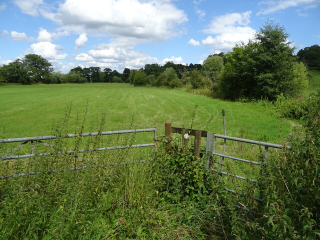
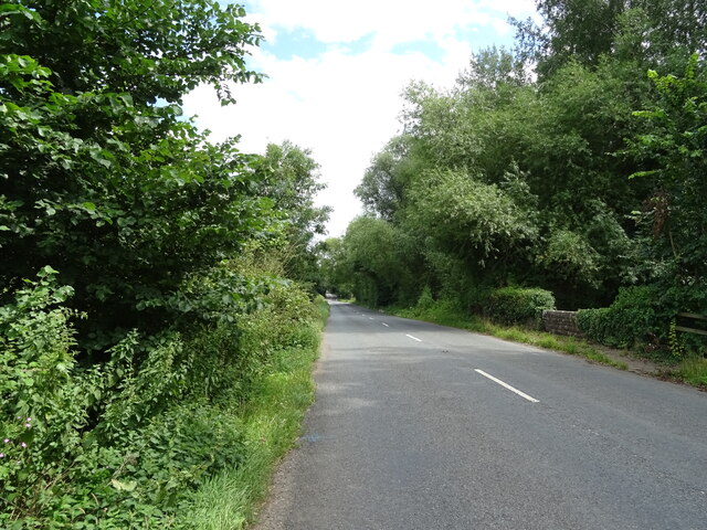
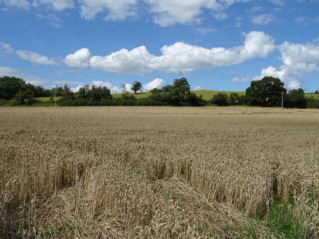
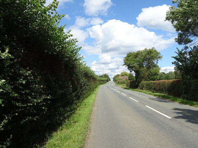
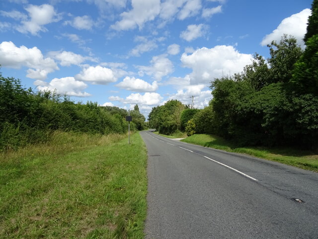
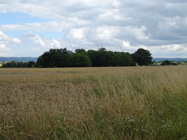
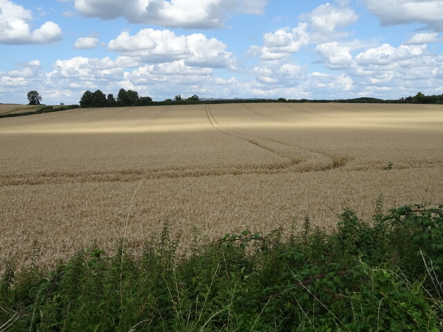
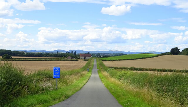
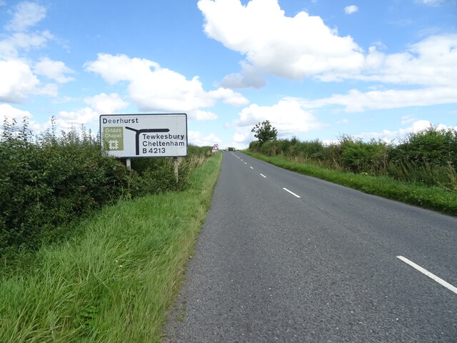
Deerhurst is a civil parish located in the county of Gloucestershire, England. Situated on the banks of the River Severn, it covers an area of approximately 5 square miles. The parish is primarily rural, characterized by picturesque countryside and rolling hills.
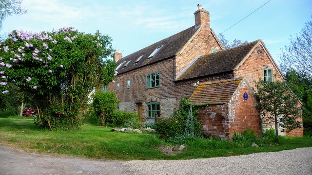
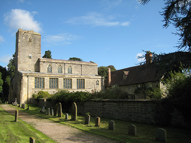
The village of Deerhurst is the main settlement within the parish and is known for its historical significance. It is home to the Deerhurst Priory, an ancient Saxon church that dates back to the 8th century. This architectural gem is renowned for its intricate carvings and is considered one of the finest examples of Anglo-Saxon architecture in England.
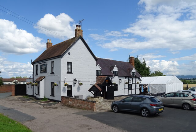
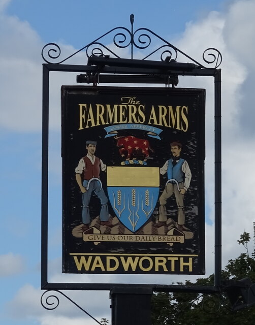
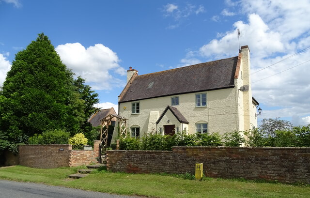
The parish is also home to a small but tight-knit community of residents. While the population is relatively small, it boasts a strong sense of community spirit and a friendly atmosphere. The village has a range of amenities, including a village hall, a primary school, and a local pub, which serves as a gathering place for locals and visitors alike.
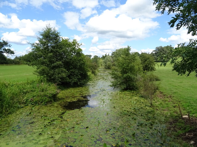
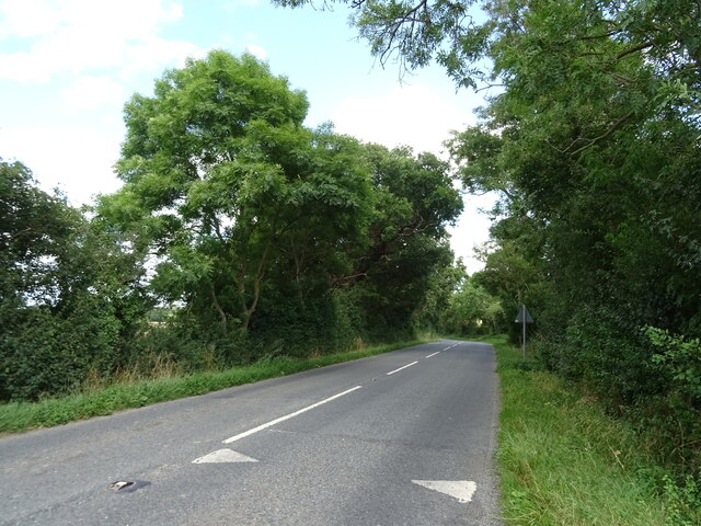
The surrounding countryside offers ample opportunities for outdoor activities such as hiking, cycling, and birdwatching. The River Severn adds to the charm of the area, providing scenic views and opportunities for fishing and boating.
Overall, Deerhurst is a peaceful and idyllic parish that offers a glimpse into England's rich history and provides a tranquil escape for those seeking a rural retreat.
If you have any feedback on the listing, please let us know in the comments section below.
Deerhurst Images
Images are sourced within 2km of 51.95232/-2.19156 or Grid Reference SO8628. Thanks to Geograph Open Source API. All images are credited.

Deerhurst is located at Grid Ref: SO8628 (Lat: 51.95232, Lng: -2.19156)
Administrative County: Gloucestershire
District: Tewkesbury
Police Authority: Gloucestershire
What 3 Words
///latches.victory.ghosts. Near Tewkesbury, Gloucestershire
Nearby Locations
Related Wikis

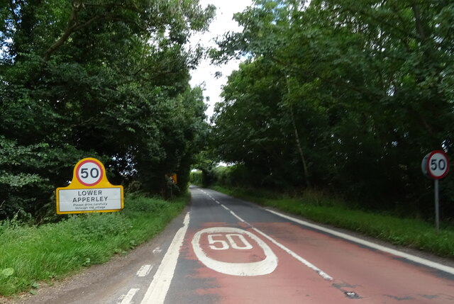
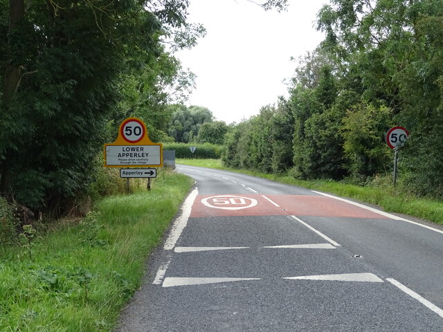
Apperley
Apperley is a village in Gloucestershire, England, about 3 miles (5 km) southwest of Tewkesbury, 1 mile (1.6 km) south of Deerhurst and 1⁄3 mile (0.5 km...

Deerhurst
Deerhurst is a village and civil parish in Gloucestershire, England, about 2 miles (3 km) southwest of Tewkesbury. The village is on the east bank of the...

Odda's Chapel
Odda's Chapel is a former chantry chapel at Deerhurst, Gloucestershire. It is an 11th-century late Anglo-Saxon building, completed a decade before the...
St Mary's Priory Church, Deerhurst
St Mary's Priory Church, Deerhurst, is the Church of England parish church of Deerhurst, Gloucestershire, England. Much of the church is Anglo-Saxon. It...

Leigh, Gloucestershire
Leigh is a village and civil parish in the district of Tewkesbury, in the county of Gloucestershire, England. As of 2019, it has a population of 325....

Coombe Hill Canal
Coombe Hill Canal lies in the Vale of Gloucester, south west England, north of Leigh and runs west 2.75 miles (4.43 km) from Coombe Hill Basin to the River...

Coombe Hill, Tewkesbury
Coombe Hill is a hamlet in the civil parish of Leigh in Gloucestershire, England. It lies on the A38 road between Gloucester and Tewkesbury, at the junction...

Turvey's Piece
Turvey's Piece (grid reference SO882301) is a 1.02-hectare (2.5-acre) biological Site of Special Scientific Interest in Gloucestershire near Deerhurst...
Nearby Amenities
Located within 500m of 51.95232,-2.19156Have you been to Deerhurst?
Leave your review of Deerhurst below (or comments, questions and feedback).