Apperknowle

Settlement in Derbyshire North East Derbyshire

England

Apperknowle

Landing strip. Small airfield near Summerley.
Landing strip. Credit: steven ruffles

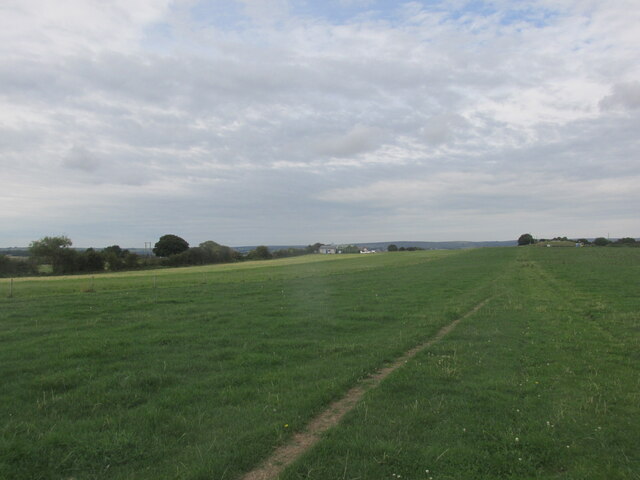
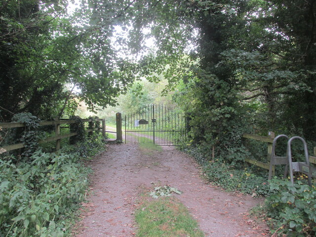
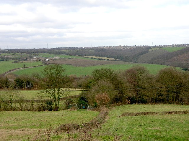
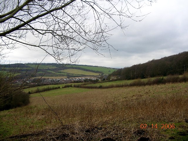
Apperknowle is a small village located in the North East Derbyshire district of Derbyshire, England. Situated about 6 miles south of Sheffield, it forms part of the wider civil parish of Unstone. The village is nestled within the picturesque countryside of the Peak District National Park, offering residents and visitors alike stunning views and ample opportunities for outdoor activities.

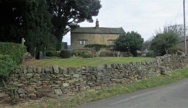
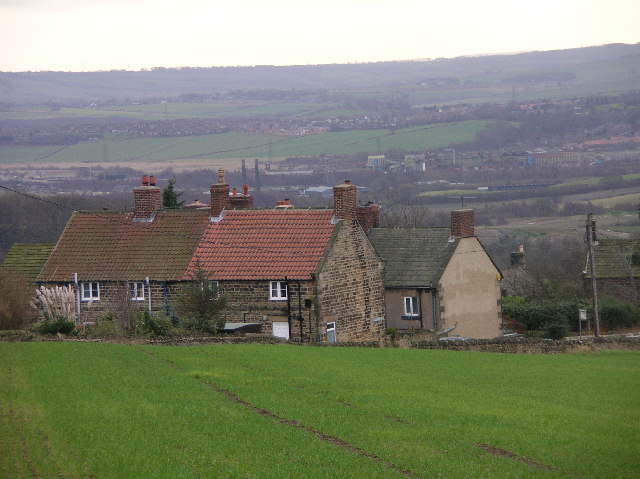
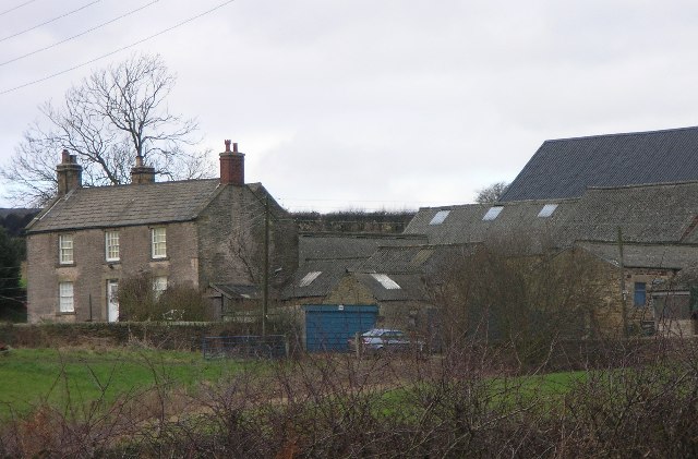
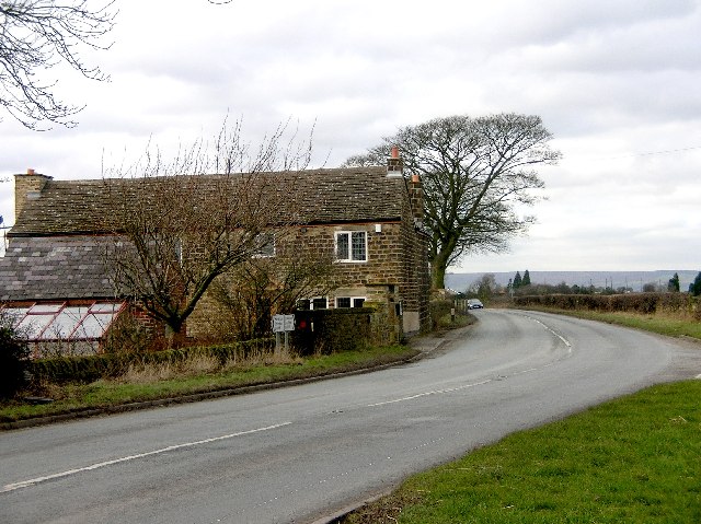
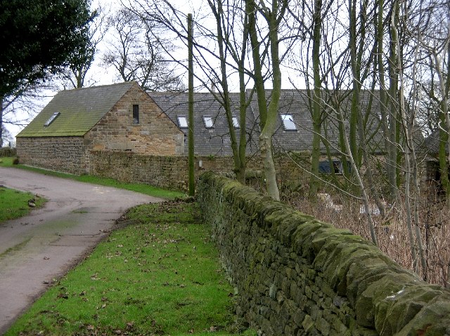
Historically, Apperknowle was a rural farming community, and to this day, it maintains its charming rural character. The village is known for its quaint cottages, many of which are made from local Derbyshire sandstone, and its peaceful atmosphere. It has a tight-knit community with a population of around 1,500 people.

Although small, Apperknowle offers some amenities for its residents. These include a village hall, a primary school, and a local pub. The village hall serves as a hub for various community events and activities, providing a space for gatherings, meetings, and celebrations. The primary school, Apperknowle Primary School, educates children from the village and surrounding areas.

Apperknowle is well-connected to nearby towns and cities by road, with easy access to the A61 and the M1 motorway. This allows residents to easily commute to Sheffield and other nearby urban centers.

Overall, Apperknowle is a charming village that offers a tranquil setting and a close-knit community, making it an attractive place to live for those seeking a peaceful rural lifestyle within reach of urban amenities.

If you have any feedback on the listing, please let us know in the comments section below.
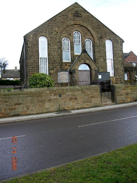
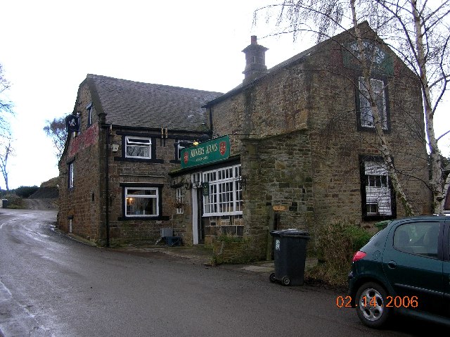
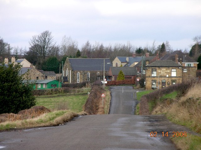
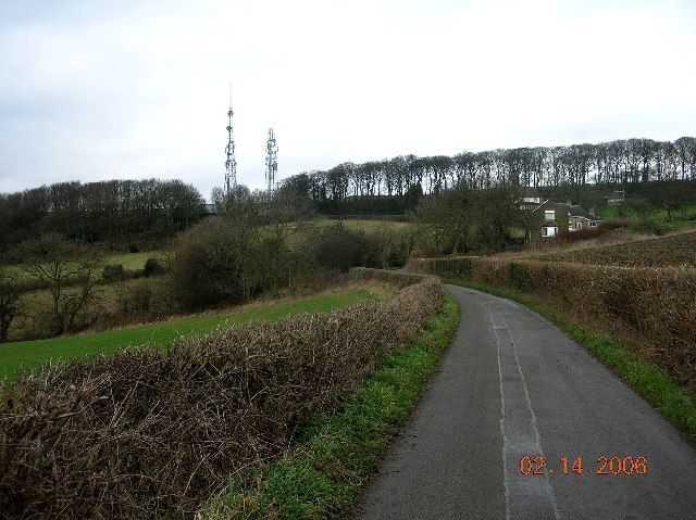
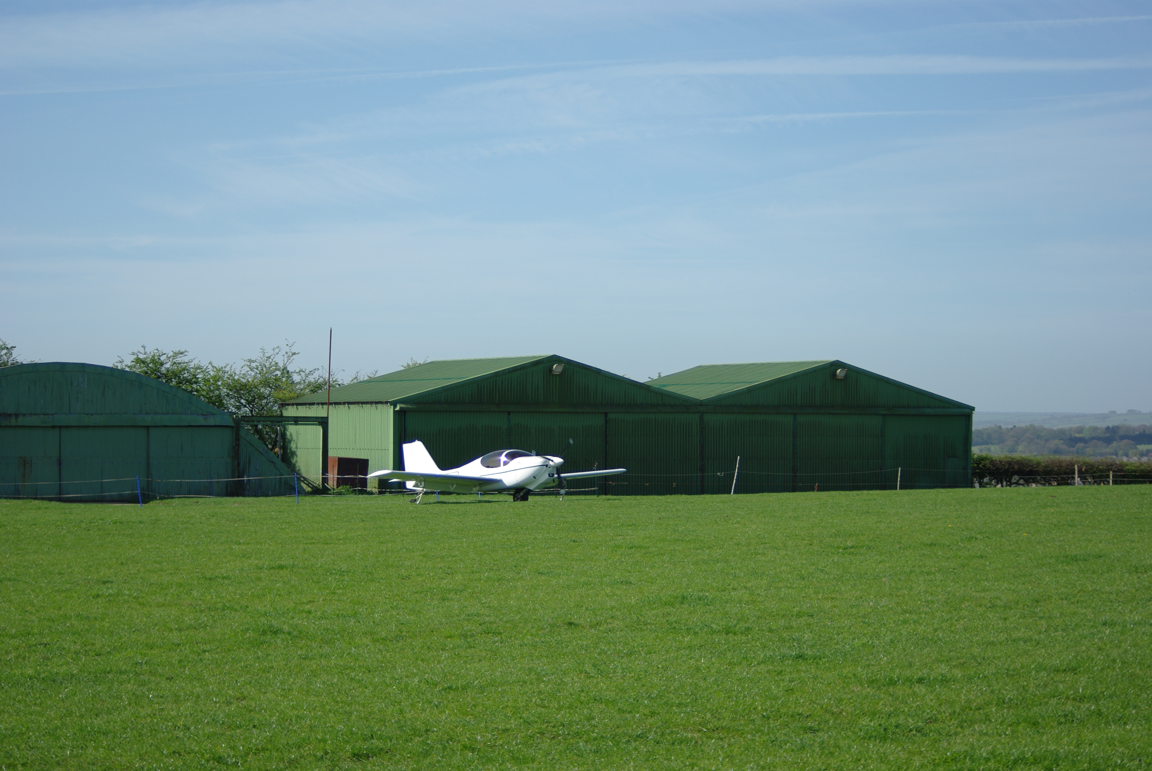
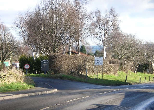
Apperknowle Images

Images are sourced within 2km of 53.298463/-1.426797 or Grid Reference SK3878. Thanks to Geograph Open Source API. All images are credited.

Landing strip. Small airfield near Summerley.
Landing strip.
Small airfield near Summerley.
Old farmhouse in Summerley. Along the Dronfield 2000 rotary walk.
Old farmhouse in Summerley.
Along the Dronfield 2000 rotary walk.
The River Drone. A very small river.
The River Drone.
A very small river.
Gateway to open country. Dronfield 2000 rotary walk.
Gateway to open country.
Dronfield 2000 rotary walk.
West Handley in NE Derbyshire Looking south over the village of West Handley in the foreground towards Chesterfield.
West Handley in NE Derbyshire
Looking south over the village of West Handley in the foreground towards Chesterfield.
Butcher Sick Farm, West Handley in NE Derbyshire
Black A'Moor Inn near Troway in NE Derbyshire
Troway Hill in NE Derbyshire A winding, steep climb from the village of Troway, heading in the direction of Marsh Lane & Eckington.
Troway Hill in NE Derbyshire
A winding, steep climb from the village of Troway, heading in the direction of Marsh Lane & Eckington.
Eckington Village from Troway crossroads. This rural scene was taken from the Troway crossroads to the west of Marsh Lane.
Eckington Village from Troway crossroads.
This rural scene was taken from the Troway crossroads to the west of Marsh Lane.
Snowden Farm, Troway, NE Derbyshire View from the car park of the Black A'Moor Inn on Snowden Lane looking north towards Coal Aston & Sheffield.
Snowden Farm, Troway, NE Derbyshire
View from the car park of the Black A'Moor Inn on Snowden Lane looking north towards Coal Aston & Sheffield.
Ridgeway Village seen from Troway (NE Derbyshire) This view is taken from the village of Troway looking east towards Ridgeway.
Ridgeway Village seen from Troway (NE Derbyshire)
This view is taken from the village of Troway looking east towards Ridgeway.
West Handley - NE Derbyshire
West Handley in NE Derbyshire Looking in a westerly direction towards Butcher Sick Farm.
West Handley in NE Derbyshire
Looking in a westerly direction towards Butcher Sick Farm.
Apperknowle Methodist Church, NE Derbyshire
Miner's Arms at Hundall in NE Derbyshire
Apperknowle in NE Derbyshire General View of Apperknowle from the south. Traveller's Rest Inn on the right.
Apperknowle in NE Derbyshire
General View of Apperknowle from the south. Traveller's Rest Inn on the right.
View towards Unstone in NE Derbyshire
TV masts at Hundall in NE Derbyshire
Show me another place!

Apperknowle is located at Grid Ref: SK3878 (Lat: 53.298463, Lng: -1.426797)

Administrative County: Derbyshire

District: North East Derbyshire

Police Authority: Derbyshire

What 3 Words

///stable.trips.care. Near Dronfield, Derbyshire

Nearby Locations

Apperknowle

Related Wikis

Nearby Amenities

Located within 500m of 53.298463,-1.426797
Apperknowle
Is In: Derbyshire, England, UK
Place: village
Wikidata: Q4781034
Wikipedia: en:Apperknowle
Lat/Long: 53.300107/-1.4278334
Parking
Description: Patch of gravel
Ele: 191
Lat/Long: 53.2961928/-1.4227455
Ele: 205.0000000
Lat/Long: 53.2972063/-1.4197897
Ele: 206.0000000
Lat/Long: 53.2970924/-1.4197532
Parking
Ele: 186
Lat/Long: 53.2972732/-1.4235555
Bench
Ele: 189.0000000
Lat/Long: 53.2987367/-1.4244762
Ele: 191
Lat/Long: 53.2989762/-1.4246625
Bus Stop
Bus: yes
Ele: 191
Naptan AtcoCode: 1000DAHS7756
Naptan NaptanCode: dbsgpgpt
Public Transport: platform
Lat/Long: 53.2990166/-1.4248806
Ele: 210.0000000
Lat/Long: 53.3009793/-1.4223025
Ele: 212.0000000
Lat/Long: 53.3018473/-1.4225695
Bench
Ele: 191
Lat/Long: 53.3009636/-1.4286977
Ele: 190.0000000
Removed Amenity: telephone
Lat/Long: 53.3004181/-1.4272734
Ele: 193
Lat/Long: 53.302136/-1.4311426
Ele: 218
Lat/Long: 53.2999257/-1.4197056
Bench
Ele: 157.0000000
Lat/Long: 53.2983088/-1.429599
Ele: 157.0000000
Lat/Long: 53.2990477/-1.4327457
Barrier: stile
Ele: 157.0000000
Steps: 1
Stile: stepover
Lat/Long: 53.2990672/-1.4326224
Bus Stop
Bus: yes
Public Transport: platform
Lat/Long: 53.3004009/-1.4272276
Turning Circle
Lat/Long: 53.3011575/-1.4281155
Bus Stop
Bus: yes
Public Transport: platform
Lat/Long: 53.3004233/-1.4275443
Ele: 189
Lat/Long: 53.3016612/-1.4303089
Turning Circle
Lat/Long: 53.3002508/-1.4287808
Turning Circle
Lat/Long: 53.3002371/-1.4266278
Turning Circle
Lat/Long: 53.2997891/-1.4287427
Defibrillator
Access: yes
Check Date: 2023-03-09
Defibrillator Location: On outside wall. Available 24/7
Emergency: defibrillator
Indoor: no
Lat/Long: 53.3002607/-1.42915
Generator Method: photovoltaic
Generator Output Electricity: yes
Generator Source: solar
Generator Type: solar_photovoltaic_panel
Location: roof
Power: generator
Lat/Long: 53.3003677/-1.426499
Generator Method: photovoltaic
Generator Output Electricity: yes
Generator Source: solar
Generator Type: solar_photovoltaic_panel
Location: roof
Power: generator
Lat/Long: 53.3004311/-1.4265513
Generator Method: photovoltaic
Generator Output Electricity: yes
Generator Source: solar
Generator Type: solar_photovoltaic_panel
Location: roof
Power: generator
Lat/Long: 53.3002507/-1.4263662
Generator Method: photovoltaic
Generator Output Electricity: yes
Generator Source: solar
Generator Type: solar_photovoltaic_panel
Location: roof
Power: generator
Lat/Long: 53.3002579/-1.4264118
Post Box
Collection Times: Mo-Fr 09:00; Sa 07:00
Drive Through: no
Post Box Type: lamp
Ref: S18 565D
Royal Cypher: EIIR
Royal Cypher Wikidata: Q33102113
Lat/Long: 53.3003978/-1.4276233
Parking
Capacity: 3
Lat/Long: 53.2965501/-1.4229223
The data included in this document is from www.openstreetmap.org. The data is made available under ODbL.

Have you been to Apperknowle?

Leave your review of Apperknowle below (or comments, questions and feedback).