Apley Forge

Settlement in Shropshire

England

Apley Forge

Deserted cottage at Darley There's not much but luck holding this place together - the roof's leaking and all the windows and doors are long gone. It's basically just a sheep shelter, and has never had gas, electricity, a mains water supply or vehicular access.
Deserted cottage at Darley Credit: Richard Law

Apley Forge is a historic village located in the county of Shropshire, England. Situated in the picturesque Severn Valley, the village is renowned for its rich industrial heritage and charming natural surroundings. Apley Forge is situated just a few miles north of the market town of Bridgnorth, making it easily accessible for visitors.

The village takes its name from the Apley Estate, which has been in existence for centuries. Apley Forge itself was a crucial part of the estate, serving as an ironworks and manufacturing center during the Industrial Revolution. The forge played a significant role in the local economy, producing a variety of iron products, including tools, machinery, and weaponry.

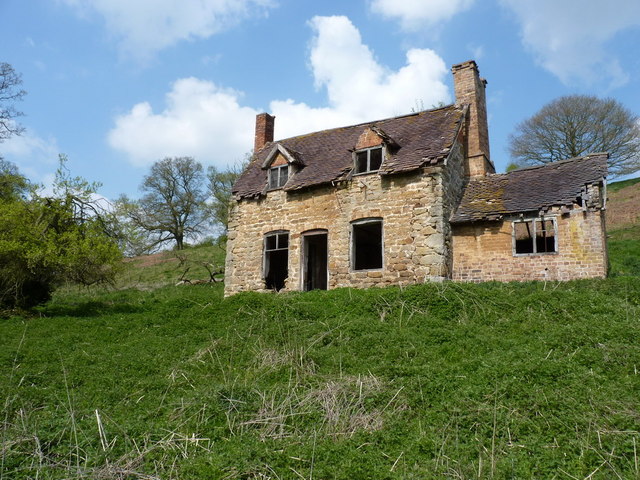
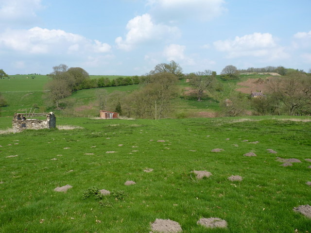
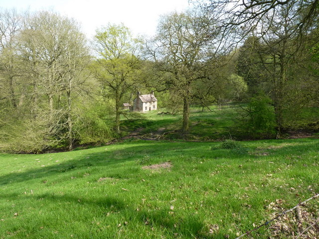
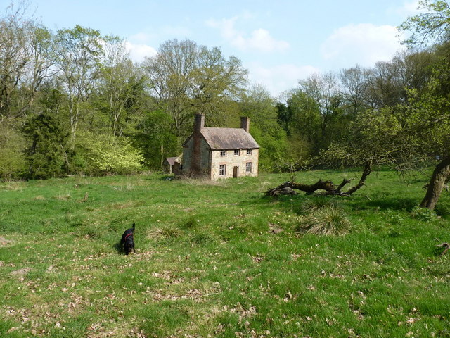
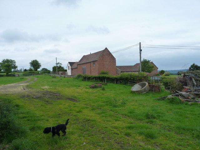
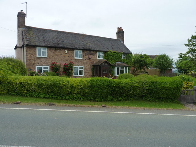
Today, Apley Forge retains its historical charm, with several well-preserved buildings that showcase its industrial past. The forge building itself still stands, serving as a reminder of the village's manufacturing heritage. Many of the other structures in the village, such as cottages and workshops, have also been preserved and converted into residential properties or small businesses.

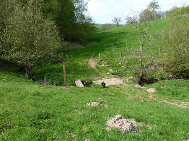
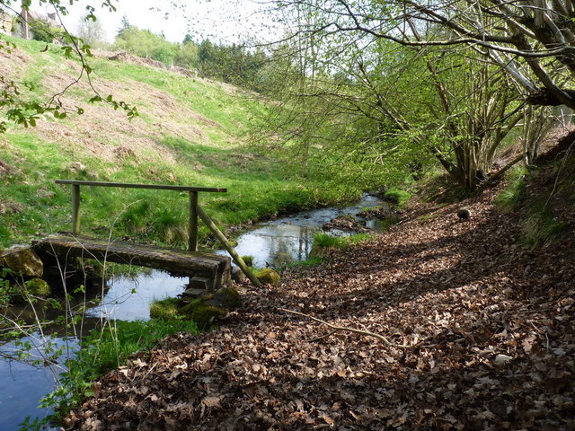
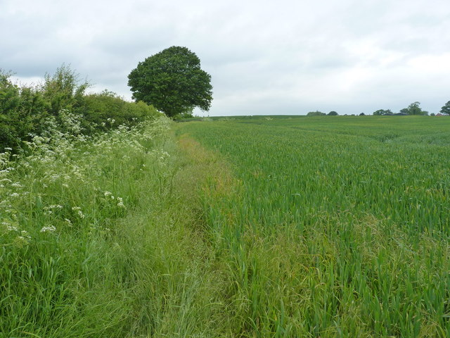
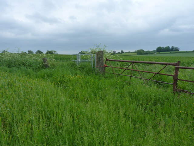
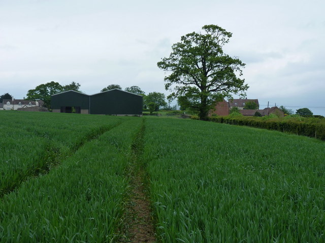
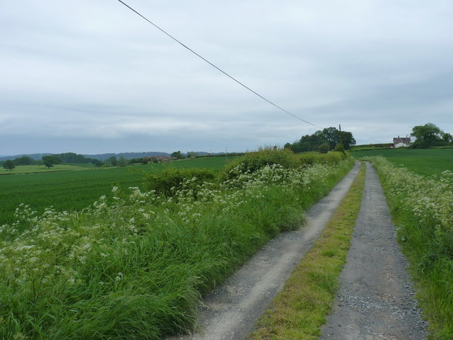
In addition to its historical significance, Apley Forge is also known for its scenic beauty. The village is surrounded by rolling hills and lush green fields, providing a tranquil setting for both residents and visitors. The nearby River Severn offers opportunities for leisurely walks and boating, while the surrounding countryside is ideal for hiking and cycling.

Apley Forge is a hidden gem in Shropshire, offering a unique blend of history and natural beauty. Whether exploring its industrial past or enjoying the peaceful countryside, visitors are sure to be captivated by the charm of this picturesque village.

If you have any feedback on the listing, please let us know in the comments section below.
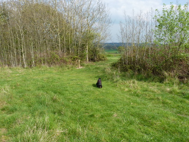
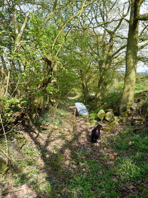
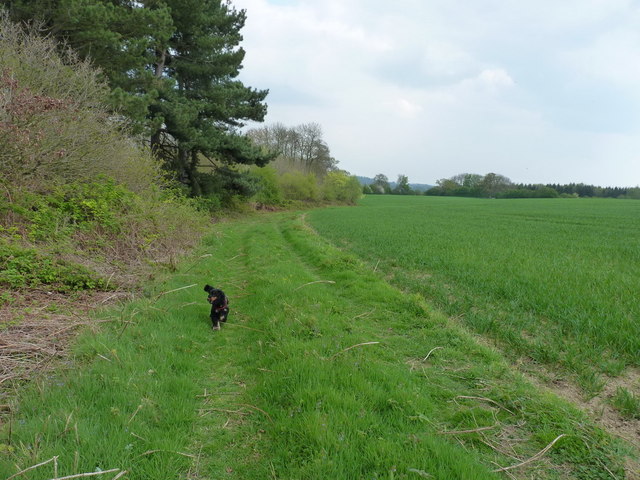
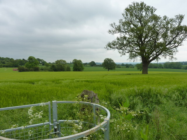
Apley Forge Images

Images are sourced within 2km of 52.578979/-2.4441507 or Grid Reference SO7098. Thanks to Geograph Open Source API. All images are credited.

Deserted cottage at Darley There's not much but luck holding this place together - the roof's leaking and all the windows and doors are long gone. It's basically just a sheep shelter, and has never had gas, electricity, a mains water supply or vehicular access.
Deserted cottage at Darley
There's not much but luck holding this place together - the roof's leaking and all the windows and doors are long gone. It's basically just a sheep shelter, and has never had gas, electricity, a mains water supply or vehicular access.
Footbridge across the Dean Brook
Footbridge below the old cottage The original line of the footpath previously used this bridge, but since the path's been diverted a little to the west due to expansion of the clay workings above, this is now visited less often.
Footbridge below the old cottage
The original line of the footpath previously used this bridge, but since the path's been diverted a little to the west due to expansion of the clay workings above, this is now visited less often.
Derelict farm buildings above the Dean Brook The ruins of a couple of field barns, one of rough stone and the other brick-built, in a field on the south side of the valley.
Derelict farm buildings above the Dean Brook
The ruins of a couple of field barns, one of rough stone and the other brick-built, in a field on the south side of the valley.
Abandoned farm at Darley This substantial farmhouse, with a scattering of outhouses nearby, lies abandoned in the woods near Darley. It looks in reasonable condition from a  distance, but once close up, the cracks appear, and some of them are big enough to let daylight right through walls.
Abandoned farm at Darley
This substantial farmhouse, with a scattering of outhouses nearby, lies abandoned in the woods near Darley. It looks in reasonable condition from a distance, but once close up, the cracks appear, and some of them are big enough to let daylight right through walls.
The abandoned farmhouse at Darley
Pheasant pens at Honeypot houses A large pen for pheasant-rearing, apparently attached to Rudgewood Farm or a nearby smallholding. The dog was VERY interested in the inhabitants of this...
Pheasant pens at Honeypot houses
A large pen for pheasant-rearing, apparently attached to Rudgewood Farm or a nearby smallholding. The dog was VERY interested in the inhabitants of this...
Footpath into the woods - Honeypot Coppice This has the look and feel of quite an old right of way; it leads down towards the Dean Brook valley, and a couple of abandoned farm buildings.
Footpath into the woods - Honeypot Coppice
This has the look and feel of quite an old right of way; it leads down towards the Dean Brook valley, and a couple of abandoned farm buildings.
Footpath in the corner of a field, Linleygreen The path west of here runs across open fields, before diving into a 'green lane' complete with bluebells, just where the new waymarker sits at the top of the copse.
Footpath in the corner of a field, Linleygreen
The path west of here runs across open fields, before diving into a 'green lane' complete with bluebells, just where the new waymarker sits at the top of the copse.
An old green lane near Linleygreen Part of the footpath network, this old lane with a stone retaining wall on the right, is now so little used that the bluebells are coming up along its whole length and width.
An old green lane near Linleygreen
Part of the footpath network, this old lane with a stone retaining wall on the right, is now so little used that the bluebells are coming up along its whole length and width.
Footpath at the edge of Thrift Coppice Thrift Coppice runs into Birch Wood as you walk east; both lie on the steep southern bank of the Dean Brook valley.
Footpath at the edge of Thrift Coppice
Thrift Coppice runs into Birch Wood as you walk east; both lie on the steep southern bank of the Dean Brook valley.
Footpath back towards Cross Lane Heads Little effort had been made to maintain this path through the crop - Daft Dog and I were forced to wade, thigh deep in my case, through the wet crop. Great fun. All the stiles and gates are in place, but the path is rarely used.
Footpath back towards Cross Lane Heads
Little effort had been made to maintain this path through the crop - Daft Dog and I were forced to wade, thigh deep in my case, through the wet crop. Great fun. All the stiles and gates are in place, but the path is rarely used.
Footpath to Nordley A rather overgrown (overplanted) path on the edge of a field near Nordley.
Footpath to Nordley
A rather overgrown (overplanted) path on the edge of a field near Nordley.
Best of luck with THIS stile... The stile's there, and quite new. What isn't so obvious in the photo is the 3-strand barbed wire fence that completely blocks it. Daft Dog went under the rickety gate, and I climbed it, as I didn't much fancy lacerating my legs.
Best of luck with THIS stile...
The stile's there, and quite new. What isn't so obvious in the photo is the 3-strand barbed wire fence that completely blocks it. Daft Dog went under the rickety gate, and I climbed it, as I didn't much fancy lacerating my legs.
Approaching Nordley On the footpath from the direction of Kingsley Farm, this is the view you get of the barns at Dairy Farm in Nordley.
Approaching Nordley
On the footpath from the direction of Kingsley Farm, this is the view you get of the barns at Dairy Farm in Nordley.
Farmyard clutter at Dairy Farm, Nordley Although the buildings visible on the other side of the road now appear to be residential-only, some signs of recent activity remain around the yard on this side of the road.
Farmyard clutter at Dairy Farm, Nordley
Although the buildings visible on the other side of the road now appear to be residential-only, some signs of recent activity remain around the yard on this side of the road.
Rosemary Cottage, Nordley
Bridleway down to the two Binnals The white-ish building on the right is Little Binnal, with the farm of Great Binnal just off to the left .
Bridleway down to the two Binnals
The white-ish building on the right is Little Binnal, with the farm of Great Binnal just off to the left .
Show me another place!

Apley Forge is located at Grid Ref: SO7098 (Lat: 52.578979, Lng: -2.4441507)

Unitary Authority: Shropshire

Police Authority: West Mercia

What 3 Words

///meanders.walked.binds. Near Broseley, Shropshire

Related Wikis

Linley Halt railway station

Linley, later Linley Halt, was a small railway station on the Severn Valley line in Shropshire, England. The station was built as a condition of constructing...

Apley Forge

Apley Forge is a village in Shropshire, England, north of the town of Bridgnorth. == External links == Media related to Apley Forge at Wikimedia Commons

Severn Way

The Severn Way is a waymarked long-distance footpath in the United Kingdom, which follows the course of the River Severn through Mid Wales and western...

Apley Hall

Apley Hall is an English Gothic Revival house located in the parish of Stockton near Bridgnorth, Shropshire. The building was completed in 1811 with adjoining...

Nearby Amenities

Located within 500m of 52.578979,-2.4441507
Power: pole
Lat/Long: 52.5816292/-2.4500638
Power: pole
Lat/Long: 52.5807442/-2.4492136
Power: pole
Lat/Long: 52.5800727/-2.4485618
Power: pole
Lat/Long: 52.579204/-2.4477384
Power: pole
Lat/Long: 52.5766988/-2.4453753
Power: pole
Lat/Long: 52.5746808/-2.4434119
The data included in this document is from www.openstreetmap.org. The data is made available under ODbL.

Have you been to Apley Forge?

Leave your review of Apley Forge below (or comments, questions and feedback).