Noblers Coppice

Wood, Forest in Shropshire

England

Noblers Coppice

Footbridge across the Dean Brook
Footbridge across the Dean Brook Credit: Richard Law

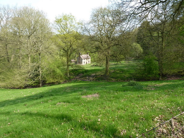
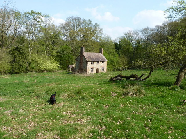
Noblers Coppice is a picturesque wood located in the county of Shropshire, in the West Midlands region of England. Covering an area of approximately 50 acres, this woodland is situated near the village of Clun, within the Clun Valley.

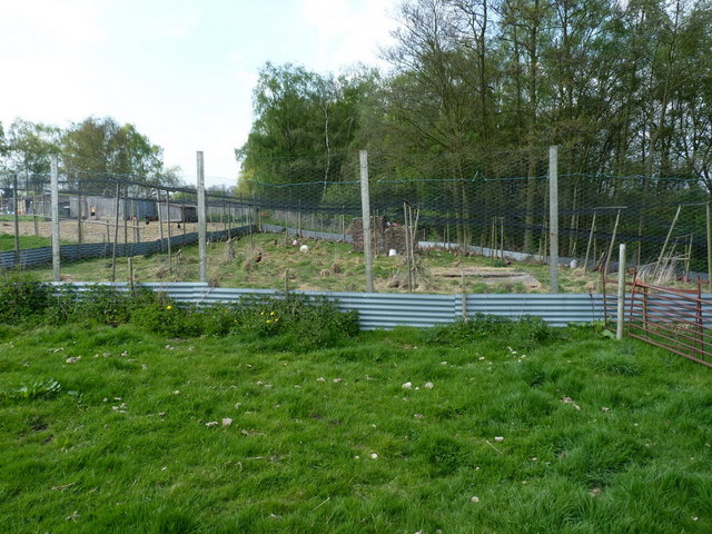
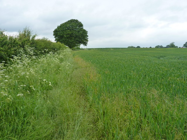
The coppice is predominantly made up of deciduous trees, including oak, ash, birch, and beech, which create a diverse and vibrant ecosystem. The dense canopy of the trees provides shade and shelter, making it an ideal habitat for a variety of wildlife, such as birds, small mammals, and insects.

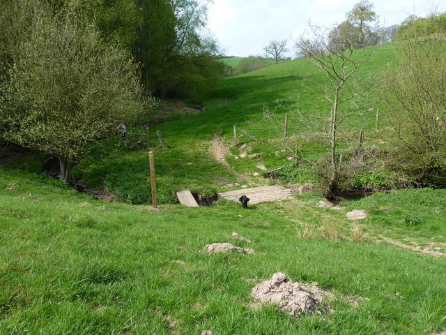
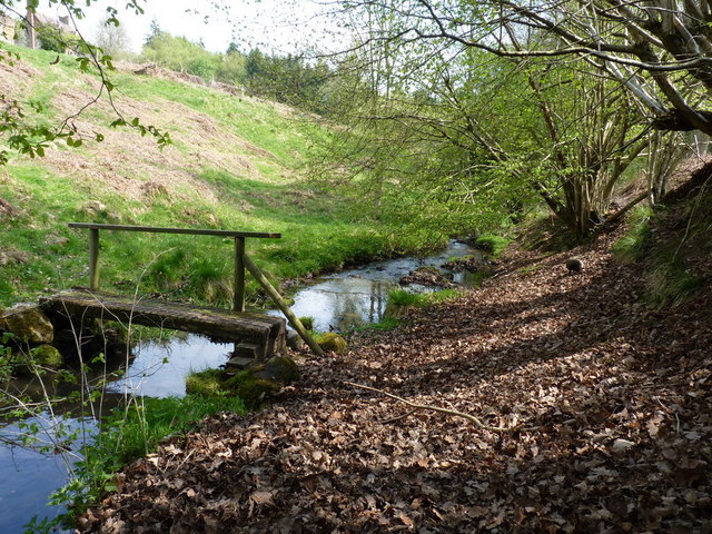
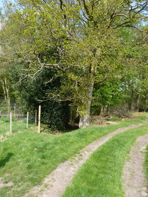
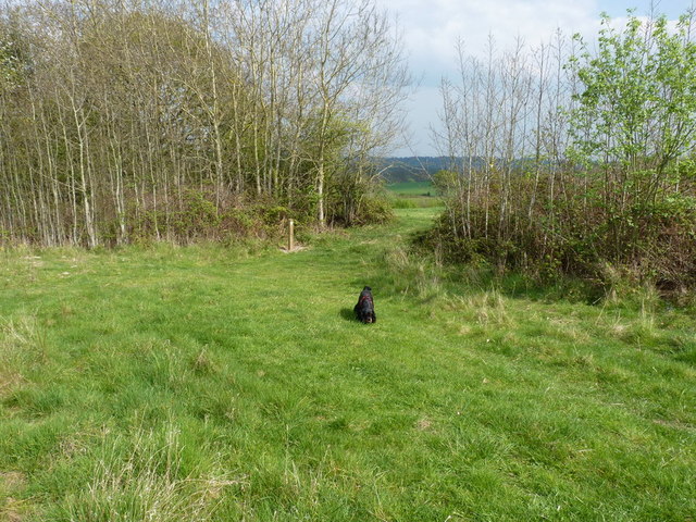
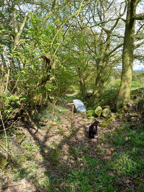
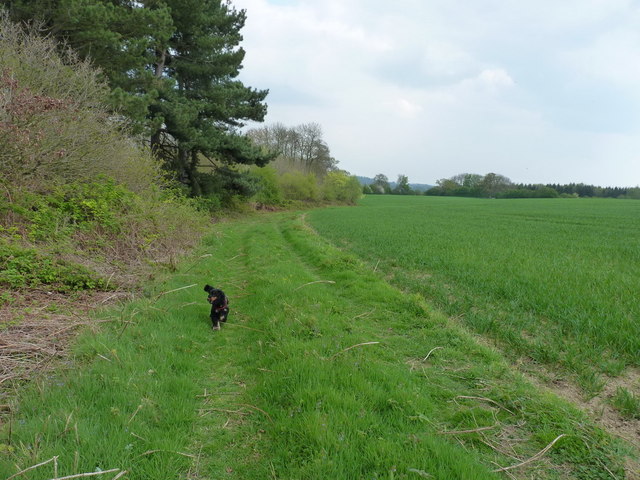
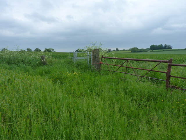
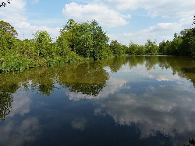
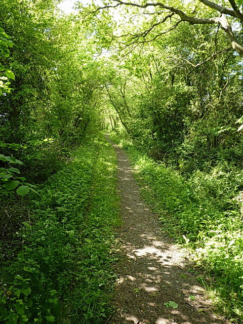
The wood features a network of well-maintained footpaths, allowing visitors to explore and appreciate its natural beauty. These paths wind through the trees, passing by meandering streams and serene ponds, creating a tranquil and peaceful environment. In the spring, the forest floor comes alive with a carpet of bluebells, creating a stunning display of vibrant colors.

Noblers Coppice is a popular destination for nature lovers, hikers, and photographers. Its secluded location and serene atmosphere make it an ideal spot for those seeking solitude and a connection with nature. The wood is also known for its rich biodiversity, with several rare and protected species of plants and animals calling it their home.

Overall, Noblers Coppice in Shropshire offers a serene escape from the bustle of everyday life. Its natural beauty, diverse flora and fauna, and well-maintained trails make it a must-visit destination for anyone seeking to immerse themselves in the tranquility of a British woodland.

If you have any feedback on the listing, please let us know in the comments section below.

Noblers Coppice Images

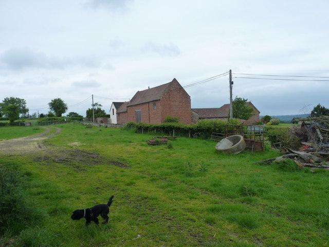
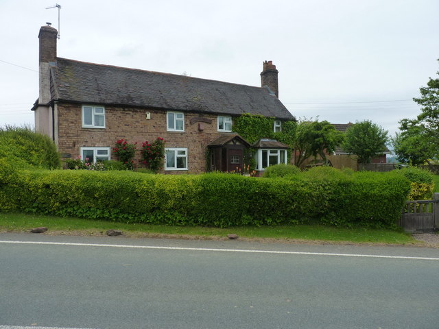
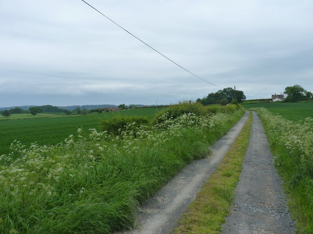
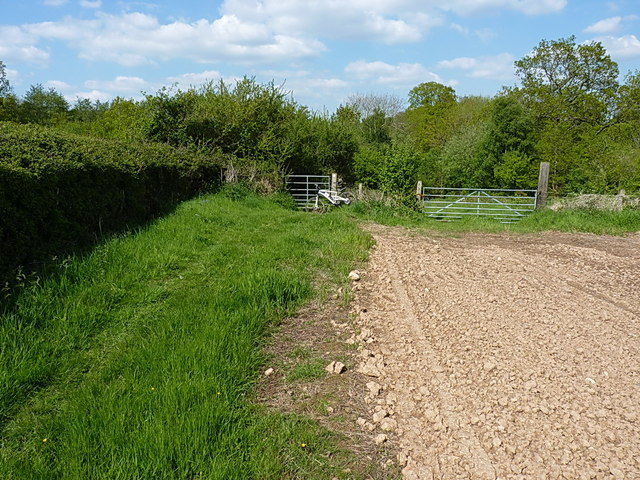
Images are sourced within 2km of 52.579151/-2.4414223 or Grid Reference SO7098. Thanks to Geograph Open Source API. All images are credited.

Footbridge across the Dean Brook
Footbridge below the old cottage The original line of the footpath previously used this bridge, but since the path's been diverted a little to the west due to expansion of the clay workings above, this is now visited less often.
Footbridge below the old cottage
The original line of the footpath previously used this bridge, but since the path's been diverted a little to the west due to expansion of the clay workings above, this is now visited less often.
Abandoned farm at Darley This substantial farmhouse, with a scattering of outhouses nearby, lies abandoned in the woods near Darley. It looks in reasonable condition from a  distance, but once close up, the cracks appear, and some of them are big enough to let daylight right through walls.
Abandoned farm at Darley
This substantial farmhouse, with a scattering of outhouses nearby, lies abandoned in the woods near Darley. It looks in reasonable condition from a distance, but once close up, the cracks appear, and some of them are big enough to let daylight right through walls.
The abandoned farmhouse at Darley
Pheasant pens at Honeypot houses A large pen for pheasant-rearing, apparently attached to Rudgewood Farm or a nearby smallholding. The dog was VERY interested in the inhabitants of this...
Pheasant pens at Honeypot houses
A large pen for pheasant-rearing, apparently attached to Rudgewood Farm or a nearby smallholding. The dog was VERY interested in the inhabitants of this...
Footpath into the woods - Honeypot Coppice This has the look and feel of quite an old right of way; it leads down towards the Dean Brook valley, and a couple of abandoned farm buildings.
Footpath into the woods - Honeypot Coppice
This has the look and feel of quite an old right of way; it leads down towards the Dean Brook valley, and a couple of abandoned farm buildings.
Footpath in the corner of a field, Linleygreen The path west of here runs across open fields, before diving into a 'green lane' complete with bluebells, just where the new waymarker sits at the top of the copse.
Footpath in the corner of a field, Linleygreen
The path west of here runs across open fields, before diving into a 'green lane' complete with bluebells, just where the new waymarker sits at the top of the copse.
An old green lane near Linleygreen Part of the footpath network, this old lane with a stone retaining wall on the right, is now so little used that the bluebells are coming up along its whole length and width.
An old green lane near Linleygreen
Part of the footpath network, this old lane with a stone retaining wall on the right, is now so little used that the bluebells are coming up along its whole length and width.
Footpath at the edge of Thrift Coppice Thrift Coppice runs into Birch Wood as you walk east; both lie on the steep southern bank of the Dean Brook valley.
Footpath at the edge of Thrift Coppice
Thrift Coppice runs into Birch Wood as you walk east; both lie on the steep southern bank of the Dean Brook valley.
Footpath to Nordley A rather overgrown (overplanted) path on the edge of a field near Nordley.
Footpath to Nordley
A rather overgrown (overplanted) path on the edge of a field near Nordley.
Best of luck with THIS stile... The stile's there, and quite new. What isn't so obvious in the photo is the 3-strand barbed wire fence that completely blocks it. Daft Dog went under the rickety gate, and I climbed it, as I didn't much fancy lacerating my legs.
Best of luck with THIS stile...
The stile's there, and quite new. What isn't so obvious in the photo is the 3-strand barbed wire fence that completely blocks it. Daft Dog went under the rickety gate, and I climbed it, as I didn't much fancy lacerating my legs.
Approaching Nordley On the footpath from the direction of Kingsley Farm, this is the view you get of the barns at Dairy Farm in Nordley.
Approaching Nordley
On the footpath from the direction of Kingsley Farm, this is the view you get of the barns at Dairy Farm in Nordley.
Farmyard clutter at Dairy Farm, Nordley Although the buildings visible on the other side of the road now appear to be residential-only, some signs of recent activity remain around the yard on this side of the road.
Farmyard clutter at Dairy Farm, Nordley
Although the buildings visible on the other side of the road now appear to be residential-only, some signs of recent activity remain around the yard on this side of the road.
Rosemary Cottage, Nordley
Bridleway down to the two Binnals The white-ish building on the right is Little Binnal, with the farm of Great Binnal just off to the left .
Bridleway down to the two Binnals
The white-ish building on the right is Little Binnal, with the farm of Great Binnal just off to the left .
Bridleway gate at the end of Stocking Lane
Fishing pool at Toys Rough Run by one of the Midland's largest clubs - the Birmingham Anglers' Association BAA.
Fishing pool at Toys Rough
Run by one of the Midland's largest clubs - the Birmingham Anglers' Association BAA.
Up the bridleway towards Linley Brook
Show me another place!

Noblers Coppice is located at Grid Ref: SO7098 (Lat: 52.579151, Lng: -2.4414223)

Unitary Authority: Shropshire

Police Authority: West Mercia

What 3 Words

///whirlwind.freezers.clusters. Near Broseley, Shropshire

Related Wikis

Linley Halt railway station

Linley, later Linley Halt, was a small railway station on the Severn Valley line in Shropshire, England. The station was built as a condition of constructing...

Apley Forge

Apley Forge is a village in Shropshire, England, north of the town of Bridgnorth. == External links == Media related to Apley Forge at Wikimedia Commons

Severn Way

The Severn Way is a waymarked long-distance footpath in the United Kingdom, which follows the course of the River Severn through Mid Wales and western...

Apley Hall

Apley Hall is an English Gothic Revival house located in the parish of Stockton near Bridgnorth, Shropshire. The building was completed in 1811 with adjoining...

Nearby Amenities

Located within 500m of 52.579151,-2.4414223
Power: pole
Lat/Long: 52.5800727/-2.4485618
Power: pole
Lat/Long: 52.579204/-2.4477384
Power: pole
Lat/Long: 52.5766988/-2.4453753
Addr Housename: Station House
Lat/Long: 52.5823087/-2.4370304
The data included in this document is from www.openstreetmap.org. The data is made available under ODbL.

Have you been to Noblers Coppice?

Leave your review of Noblers Coppice below (or comments, questions and feedback).