Peak Coppice

Wood, Forest in Dorset

England

Peak Coppice

Earthworks at Little Puddle Farm A boundary between Piddlehinton and Little Puddle once ran right through these earthworks which cover 32 acres of ground and which represented the settlements of Little Puddle and Combe Deverel. Traces of a chapel at Little Puddle have been detected, dating to the 14th Century, but there is no visible evidence to the untrained eye.
Earthworks at Little Puddle Farm Credit: Becky Williamson

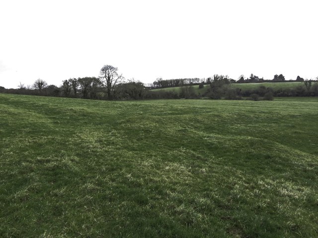
Peak Coppice is a picturesque woodland located in the county of Dorset, England. Covering an area of approximately 100 acres, it is nestled in the heart of the Dorset AONB (Area of Outstanding Natural Beauty), providing visitors with a peaceful and idyllic escape from the hustle and bustle of everyday life.

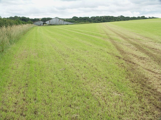
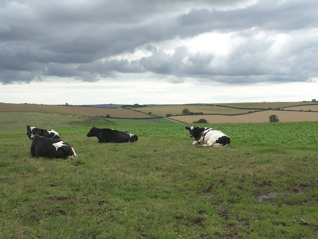
The coppice is primarily composed of broadleaf trees such as oak, beech, and ash, creating a diverse and vibrant ecosystem. These trees, along with the dense undergrowth of ferns, wildflowers, and mosses, provide a rich habitat for a variety of wildlife including deer, foxes, and a plethora of bird species.

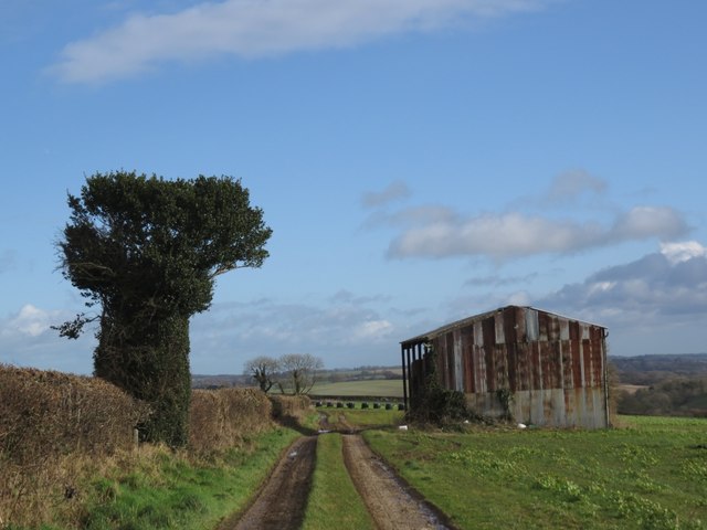
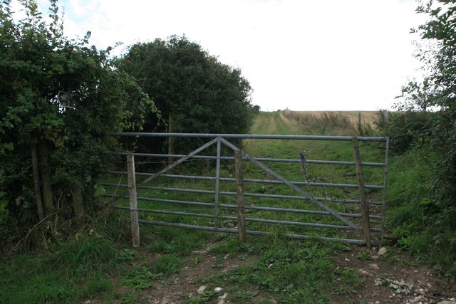
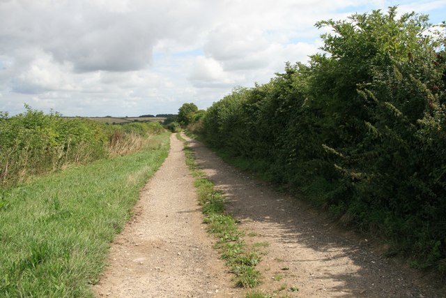
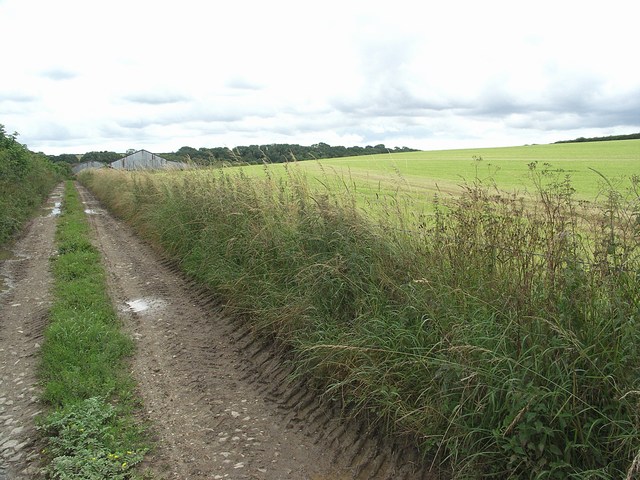
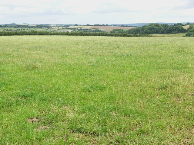
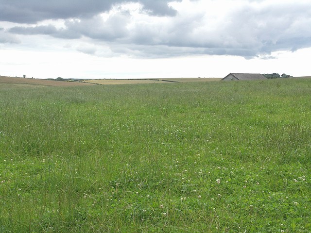
The woodland features a network of well-maintained footpaths and trails, allowing visitors to explore its natural beauty at their own pace. The paths wind through the verdant forest, passing by tranquil streams and small ponds, offering numerous opportunities for peaceful contemplation and wildlife observation.

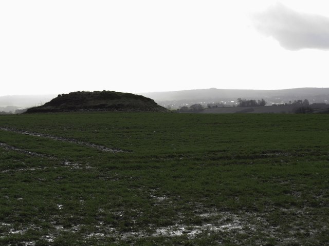
Peak Coppice is also home to a number of ancient features, including remnants of charcoal platforms and old boundary banks, which provide a glimpse into the area's history and past land use.

The woodland is a popular destination for nature enthusiasts, hikers, and photographers, who are drawn to its stunning scenery and serene atmosphere. It also serves as a valuable educational resource, with guided walks and workshops organized by local conservation groups and schools.

Overall, Peak Coppice in Dorset is a hidden gem, offering visitors a chance to immerse themselves in the beauty of nature while discovering the rich biodiversity and history of the area.

If you have any feedback on the listing, please let us know in the comments section below.

Peak Coppice Images

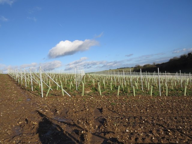
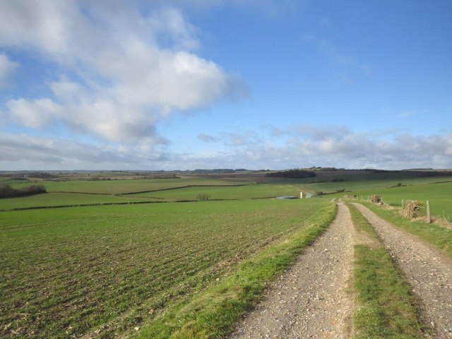
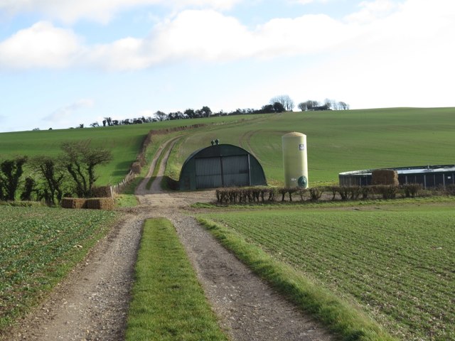
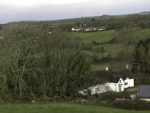
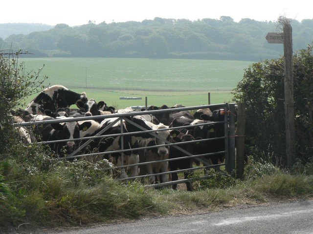
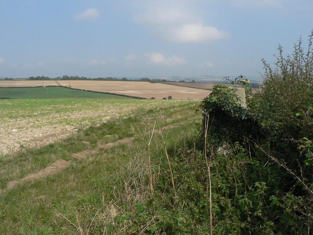
Images are sourced within 2km of 50.757117/-2.4240644 or Grid Reference SY7095. Thanks to Geograph Open Source API. All images are credited.

Earthworks at Little Puddle Farm A boundary between Piddlehinton and Little Puddle once ran right through these earthworks which cover 32 acres of ground and which represented the settlements of Little Puddle and Combe Deverel. Traces of a chapel at Little Puddle have been detected, dating to the 14th Century, but there is no visible evidence to the untrained eye.
Earthworks at Little Puddle Farm
A boundary between Piddlehinton and Little Puddle once ran right through these earthworks which cover 32 acres of ground and which represented the settlements of Little Puddle and Combe Deverel. Traces of a chapel at Little Puddle have been detected, dating to the 14th Century, but there is no visible evidence to the untrained eye.
Barn on Little Puddle Hill
Tumulus on Little Puddle Hill
Trigpoint on Waterston Ridge
Vineyard near Muston Farm We weren't sure what these plastic tubes were protecting, in some instances it appeared there was nothing in them, in others perhaps the early shoots of a grapevine. At the moment they are a bit of an eyesore on the land.
Vineyard near Muston Farm
We weren't sure what these plastic tubes were protecting, in some instances it appeared there was nothing in them, in others perhaps the early shoots of a grapevine. At the moment they are a bit of an eyesore on the land.
Bridleway on Ridgeway
Barn on the Ridgeway
Little Puddle Farm
Little Puddle Farm
An old footpath at New Buildings No sign of a footpath by this barbed wire protected gate.
An old footpath at New Buildings
No sign of a footpath by this barbed wire protected gate.
Bridleway at New Buildings The footpath being closed (see <a href="https://www.geograph.org.uk/photo/5880698">SY7096 : An old footpath at New Buildings</a>) I had to take the long way round along the bridleway instead of cutting across the field.
Bridleway at New Buildings
The footpath being closed (see SY7096 : An old footpath at New Buildings) I had to take the long way round along the bridleway instead of cutting across the field.
The Northern Flank of Little Puddle Farm
North Eastern Access Road to Little Puddle Farm Although the picture is taken in mid-July, the constant summer showers give the dirt road a winter look.
North Eastern Access Road to Little Puddle Farm
Although the picture is taken in mid-July, the constant summer showers give the dirt road a winter look.
Cows Under The Brooding Sky This picture typifies the continuous wet weather experienced in June/July 2007.
Cows Under The Brooding Sky
This picture typifies the continuous wet weather experienced in June/July 2007.
Dorset Farmland
Dorset Farmland
Dorset Farmland
Dorset Farmland
Access Road for Little Puddle Farm This is one of several access road to the expansive Little Puddle Farm.
Access Road for Little Puddle Farm
This is one of several access road to the expansive Little Puddle Farm.
Stinsford: cows in bridleway gate These cows would have made it difficult for a cycle or horse rider to take the opportunity to venture down this bridleway to Stinsford.
Stinsford: cows in bridleway gate
These cows would have made it difficult for a cycle or horse rider to take the opportunity to venture down this bridleway to Stinsford.
Piddlehinton: overgrown trig point in hedge This trig point, at 128m above sea-level, is on the B3143 between Dorchester and Piddlehinton – at the southern extremity of the latter parish – at the brow of a hill and rather camouflaged.
Piddlehinton: overgrown trig point in hedge
This trig point, at 128m above sea-level, is on the B3143 between Dorchester and Piddlehinton – at the southern extremity of the latter parish – at the brow of a hill and rather camouflaged.
Show me another place!

Peak Coppice is located at Grid Ref: SY7095 (Lat: 50.757117, Lng: -2.4240644)

Unitary Authority: Dorset

Police Authority: Dorset

What 3 Words

///comforted.breed.perused. Near Charminster, Dorset

Related Wikis

Piddlehinton

Piddlehinton is a village and civil parish in west Dorset, England, situated in the Piddle valley 5 miles (8.0 km) north of Dorchester. In the 2011 census...

Charlton Down

Charlton Down is a new village in Dorset, England, situated approximately 4 miles (6.4 km) north of the county town Dorchester. It lies within the civil...

Herrison Hospital

Herrison Hospital was a mental health facility in Charminster, Dorset. == History == The hospital, which was designed by Henry Edward Kendall Jr. using...

Waterston Manor

Waterston Manor, Puddletown, Dorset is a manor house with 17th century origins, that was extensively rebuilt after a fire in 1863 and remodelled in 1911...

Have you been to Peak Coppice?

Leave your review of Peak Coppice below (or comments, questions and feedback).