Maxfields Coppice

Wood, Forest in Shropshire

England

Maxfields Coppice

Welcome to England A new metaled road in Birchen Park. It links up with a pair of genuine legal bridle paths in the wood.

Normally I photograph nasty little signs like this from behind not wishing to spread their message, but on this trip I am intended to shame.
Welcome to England Credit: Richard Webb

The requested URL returned error: 429 Too Many Requests

If you have any feedback on the listing, please let us know in the comments section below.

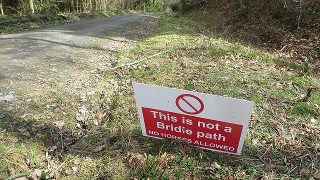
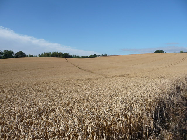
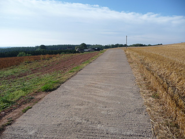
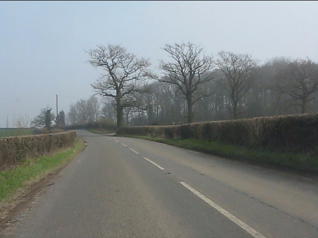
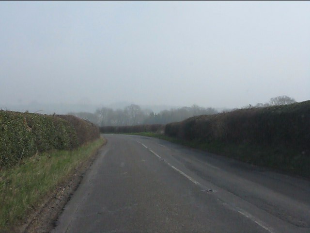
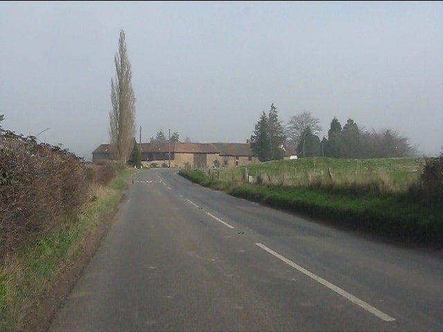
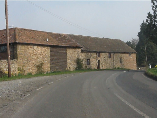
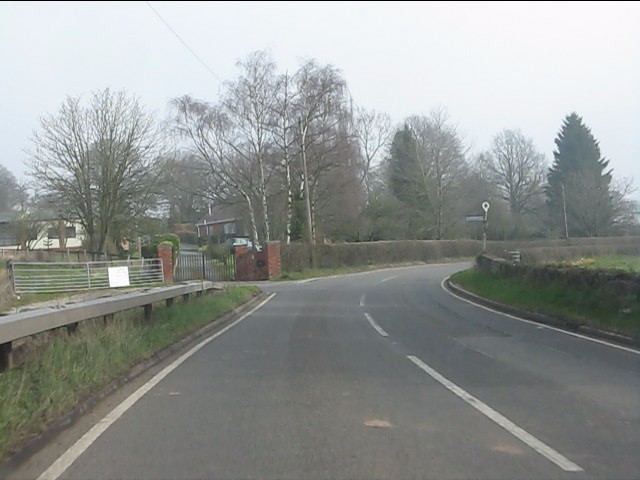
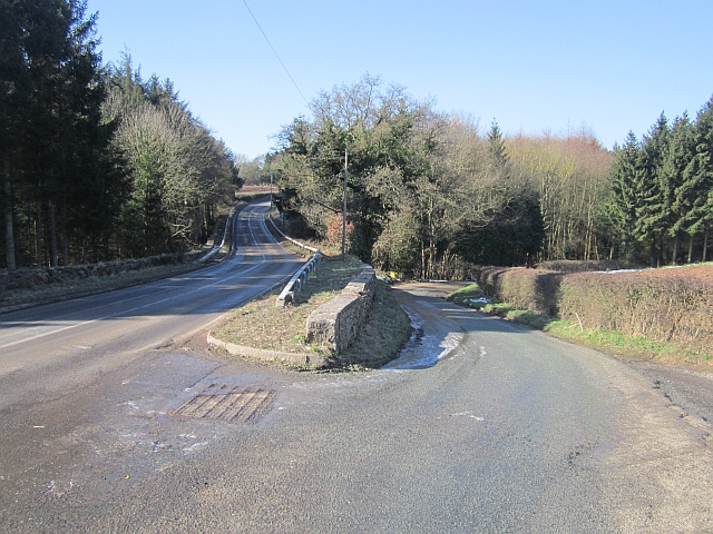
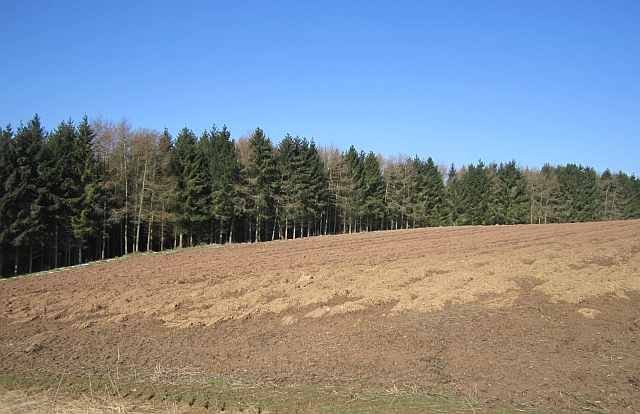
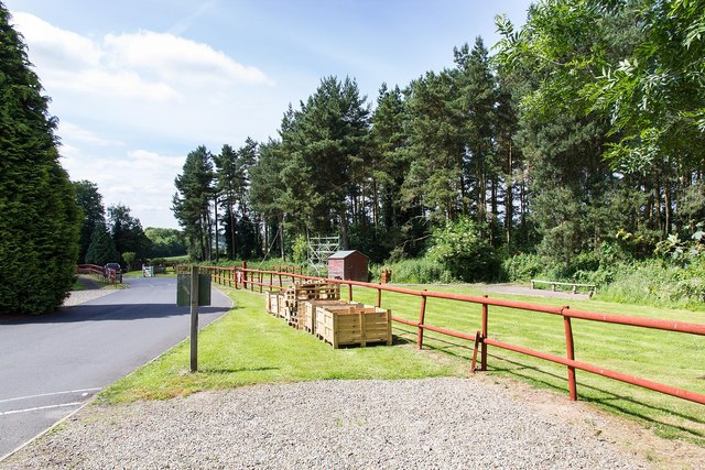
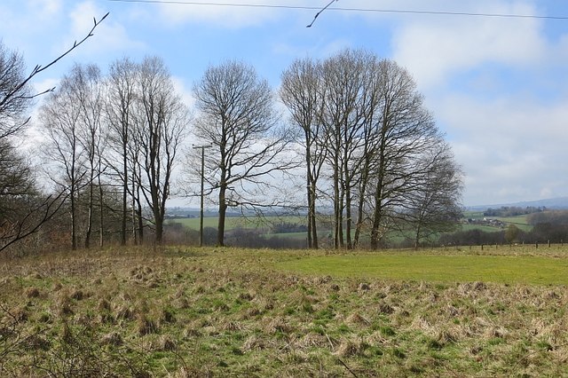
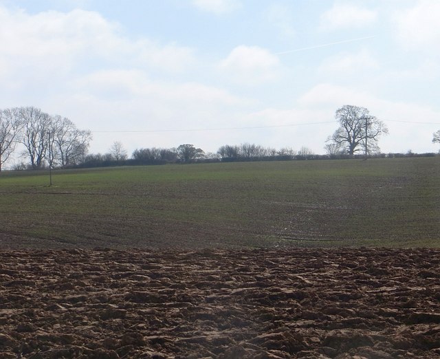
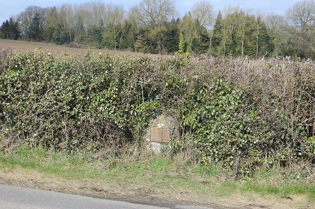
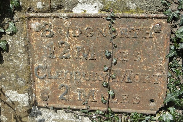
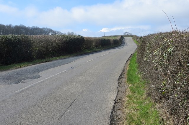
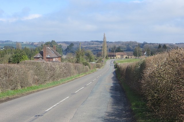
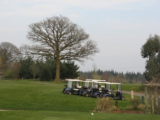
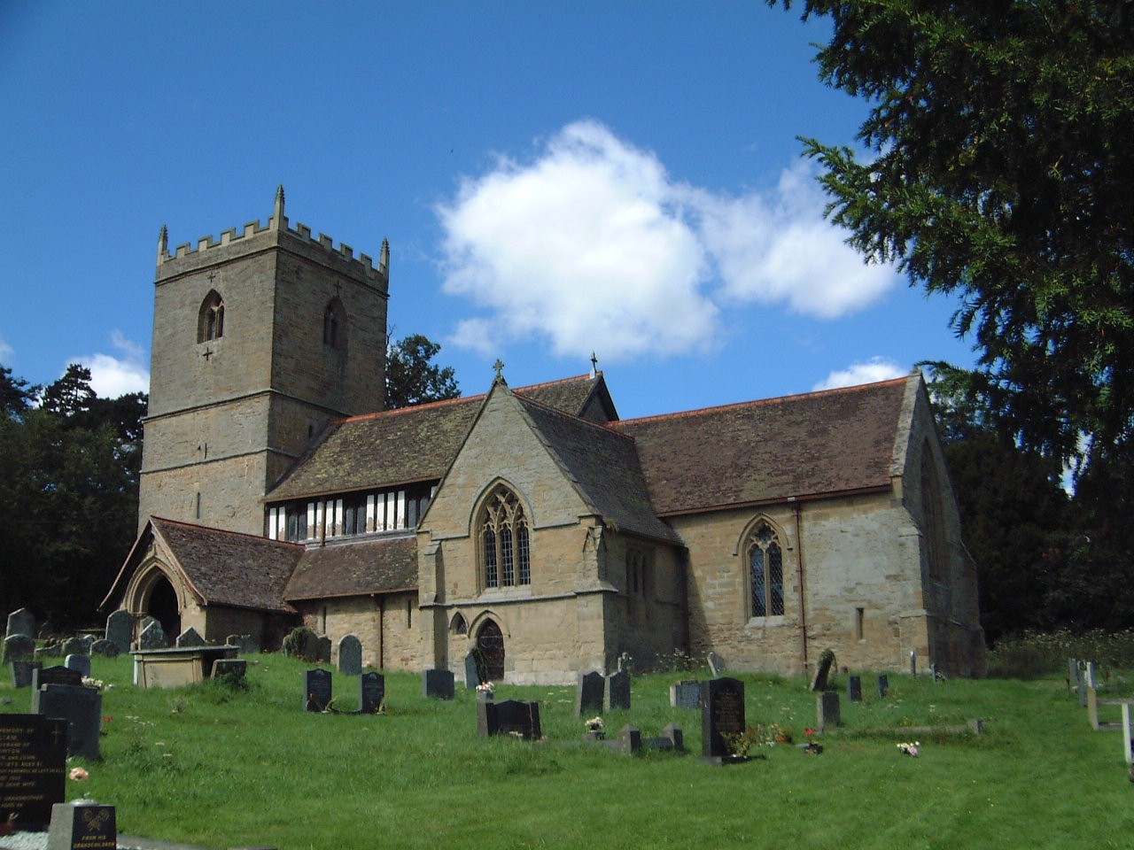
Maxfields Coppice Images

Images are sourced within 2km of 52.399726/-2.4395845 or Grid Reference SO7078. Thanks to Geograph Open Source API. All images are credited.

Welcome to England A new metaled road in Birchen Park. It links up with a pair of genuine legal bridle paths in the wood.

Normally I photograph nasty little signs like this from behind not wishing to spread their message, but on this trip I am intended to shame.
Welcome to England
A new metaled road in Birchen Park. It links up with a pair of genuine legal bridle paths in the wood. Normally I photograph nasty little signs like this from behind not wishing to spread their message, but on this trip I am intended to shame.
Footpath across a corn field in August In the winter months I bring to mind walks across summer fields like this.
Footpath across a corn field in August
In the winter months I bring to mind walks across summer fields like this.
Part of the concrete driveway to Cleobury Lodge Farm A typical farm access drive, to a handsome farm house in a great setting.
Part of the concrete driveway to Cleobury Lodge Farm
A typical farm access drive, to a handsome farm house in a great setting.
B4363 at Wetreins Coppice
Bend on the B4363
Bend on the B4363
B4363 approaching Wall Town Farm
Wall Town Farm
Wall Town Farm
B4363 at Baveney Lane junction
Road junction, Baveney A tight junction with a planning notice suggesting that it will be reengineered soon.  The B4363 will satisfy the climbing needs of the road cyclist, it is a very tortuous road in all dimensions.
Road junction, Baveney
A tight junction with a planning notice suggesting that it will be reengineered soon. The B4363 will satisfy the climbing needs of the road cyclist, it is a very tortuous road in all dimensions.
Ploughed field, Baveney
Pioneer Centre The Pioneer Centre <span class="nowrap"><a title="http://www.acuk.net/pioneer-centre" rel="nofollow ugc noopener" href="http://www.acuk.net/pioneer-centre">Link</a><img style="margin-left:2px;" alt="External link" title="External link - shift click to open in new window" src="https://s1.geograph.org.uk/img/external.png" width="10" height="10"/></span> is a residential outdoor activity centre for schools and other groups.
This is a view down the entrance driveway, past the zip wire run.
Pioneer Centre
The Pioneer Centre LinkExternal link is a residential outdoor activity centre for schools and other groups. This is a view down the entrance driveway, past the zip wire run.
Baveney A field which is no longer grazed.
Baveney
A field which is no longer grazed.
Ploughed field Spring arable field beside the Wyre Forest. A nearby sign (across the grid line) states that a footpath here is closed "By Order".  No information though, but a discrepancy between 1:25,000 and 1:50,000 mapping (no green pecked lines on the 1:25,000 map).
Ploughed field
Spring arable field beside the Wyre Forest. A nearby sign (across the grid line) states that a footpath here is closed "By Order". No information though, but a discrepancy between 1:25,000 and 1:50,000 mapping (no green pecked lines on the 1:25,000 map).
What the windscreens (and OS ) miss An unmapped milestone near Wall Town on the B4363.
What the windscreens (and OS ) miss
An unmapped milestone near Wall Town on the B4363.
Milestone, Wall Town Iron plaque on a stone in the hedge.

Bridgnorth 12m  
Cleobury Mort. 2m

And a very hilly 12 miles it is.
Milestone, Wall Town
Iron plaque on a stone in the hedge. Bridgnorth 12m Cleobury Mort. 2m And a very hilly 12 miles it is.
B4363 and bend A very twisty and hilly road between Cleobury and Bridgnorth.
B4363 and bend
A very twisty and hilly road between Cleobury and Bridgnorth.
Wall Town At the end of a rare straight bit of the B4363. The farm is built on a Roman site.
Wall Town
At the end of a rare straight bit of the B4363. The farm is built on a Roman site.
Buggies on Wyre Common Golf carts lined up at Cleobury Mortimer Golf Club, Wyre Common. Malpas Wood (Breakneck Bank), Wyre  Forest in the background.
Buggies on Wyre Common
Golf carts lined up at Cleobury Mortimer Golf Club, Wyre Common. Malpas Wood (Breakneck Bank), Wyre Forest in the background.
Show me another place!

Maxfields Coppice is located at Grid Ref: SO7078 (Lat: 52.399726, Lng: -2.4395845)

Unitary Authority: Shropshire

Police Authority: West Mercia

What 3 Words

///racked.drives.invoices. Near Cleobury Mortimer, Shropshire

Nearby Locations

Maxfields Coppice

Related Wikis

Kinlet

Kinlet is a small village and civil parish in the south-east of the county of Shropshire, England. The parish is on the northern edge of the Wyre Forest...

Cleobury Town Halt railway station

Cleobury Town Halt railway station was a station in Cleobury Mortimer, Shropshire, England. The station was opened in 1908 and closed in 1938. == References... ==

Cleobury Mortimer railway station

Cleobury Mortimer railway station was a station in Cleobury Mortimer, Shropshire, England. The station was opened in 1864 and closed in 1962. Station buildings...

Neen Savage

Neen Savage is a civil parish and a hamlet in south east Shropshire, England. It is situated north of the small market town of Cleobury Mortimer. The River...

Nearby Amenities

Located within 500m of 52.399726,-2.4395845
Generator Method: photovoltaic
Generator Output Electricity: yes
Generator Source: solar
Generator Type: solar_photovoltaic_panel
Location: roof
Power: generator
Lat/Long: 52.3974307/-2.4452707
The data included in this document is from www.openstreetmap.org. The data is made available under ODbL.

Have you been to Maxfields Coppice?

Leave your review of Maxfields Coppice below (or comments, questions and feedback).