Weston Plantation
Wood, Forest in Shropshire
England
Weston Plantation
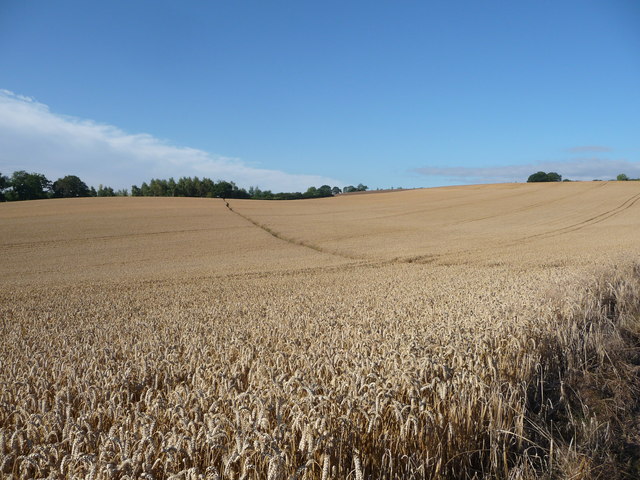
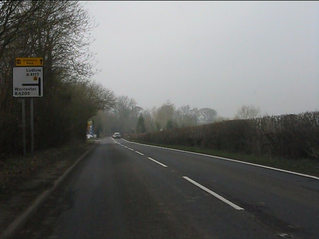
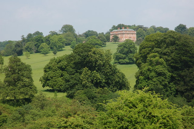
Weston Plantation is a historic estate located in the county of Shropshire, England. Situated in the heart of the picturesque Wood Forest, the plantation covers an expansive area of lush greenery and woodland, offering visitors a tranquil and serene atmosphere.
The estate dates back to the 18th century and has been meticulously preserved, showcasing the grandeur and elegance of the Georgian era. The main house, a prime example of Georgian architecture, stands proudly at the center of the estate. Its symmetrical design, adorned with ornate details and a charming entrance portico, reflects the style and opulence of the period.
Surrounding the house, the meticulously manicured gardens provide a visual feast for visitors. Vibrant flower beds, neatly trimmed hedges, and a variety of rare and exotic plants create a stunning display of colors and scents. A picturesque lake adds to the charm, offering a peaceful spot for contemplation and leisurely strolls.
The estate also boasts a quaint tea room that serves delicious refreshments and homemade treats. Visitors can indulge in traditional English afternoon tea, complete with scones, finger sandwiches, and a selection of teas. The tea room provides a cozy and inviting space to relax and take in the scenic views of the estate.
In addition to its natural beauty, Weston Plantation offers various activities for visitors of all ages. Guided tours of the main house provide a fascinating insight into the history and heritage of the estate. Educational workshops and events are also organized throughout the year, allowing visitors to immerse themselves in the rich cultural tapestry of the region.
Overall, Weston Plantation is a hidden gem in the heart of Shropshire, offering a delightful blend of natural beauty and historical significance. Whether exploring the gardens, enjoying a cup of tea, or learning about its past, the plantation provides a memorable experience for all.
If you have any feedback on the listing, please let us know in the comments section below.
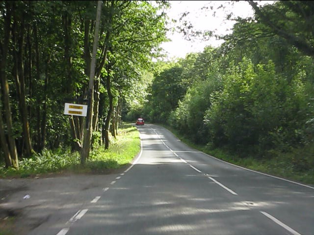
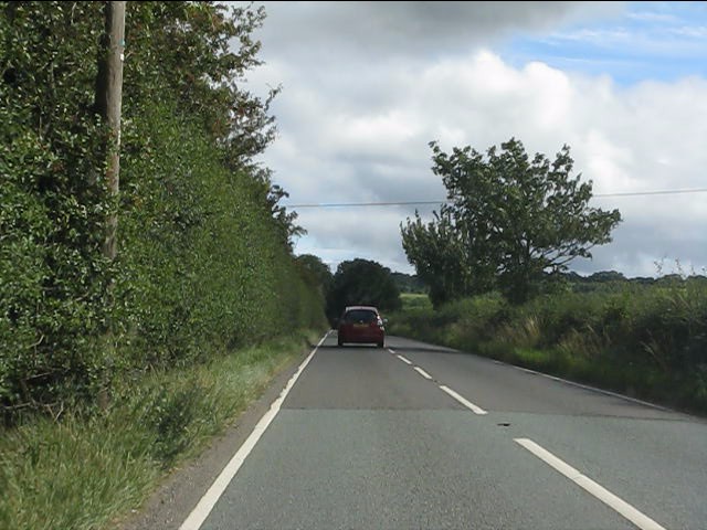
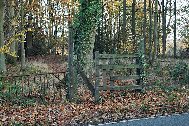
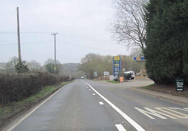
Weston Plantation Images
Images are sourced within 2km of 52.38172/-2.4393761 or Grid Reference SO7076. Thanks to Geograph Open Source API. All images are credited.


Weston Plantation is located at Grid Ref: SO7076 (Lat: 52.38172, Lng: -2.4393761)
Unitary Authority: Shropshire
Police Authority: West Mercia
What 3 Words
///compliant.dumpy.degrading. Near Cleobury Mortimer, Shropshire
Nearby Locations
Related Wikis

Cleobury Mortimer railway station
Cleobury Mortimer railway station was a station in Cleobury Mortimer, Shropshire, England. The station was opened in 1864 and closed in 1962. Station buildings...
Mawley Hall
Mawley Hall is a privately owned 18th-century country mansion near Cleobury Mortimer, Shropshire, England. It is a Grade I listed building.The Blount family...

Castle Toot
Castle Toot, or Cleobury Castle, was a motte castle by the River Rea in the town of Cleobury Mortimer, Shropshire. It is a scheduled monument, first listed...

River Rea, Shropshire
The River Rea is a small river that flows through south east Shropshire, England. == Course == It passes just to the east of the small market town of Cleobury...
Cleobury Town Halt railway station
Cleobury Town Halt railway station was a station in Cleobury Mortimer, Shropshire, England. The station was opened in 1908 and closed in 1938. == References... ==
Wyre Forest railway station
Wyre Forest railway station was a station to the north of Far Forest, Worcestershire, England. The station which served the Wyre Forest was opened in 1869...

St Mary's Church, Cleobury Mortimer
St Mary's Church is on Church Street, Cleobury Mortimer, Shropshire, England. It is an active Anglican parish church in the deanery of Ludlow, the archdeaconry...
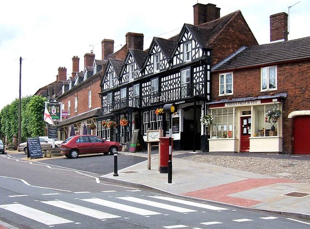
Cleobury Mortimer
Cleobury Mortimer (, KLIH-bree) is a market town and civil parish in south-east Shropshire, England, which had a population of 3,036 at the 2011 census...
Nearby Amenities
Located within 500m of 52.38172,-2.4393761Have you been to Weston Plantation?
Leave your review of Weston Plantation below (or comments, questions and feedback).