Neenshill Coppice
Wood, Forest in Shropshire
England
Neenshill Coppice
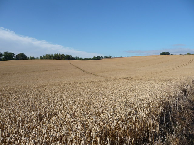
Neenshill Coppice is a picturesque woodland located in the county of Shropshire, England. Spread over an area of approximately 100 acres, it is a popular destination for nature enthusiasts and those seeking tranquility in the heart of the countryside.
The coppice is predominantly made up of oak and beech trees, which create a dense canopy that provides shade and shelter for a diverse range of wildlife. The forest floor is adorned with a carpet of bluebells during the spring, adding a splash of color to the already stunning scenery.
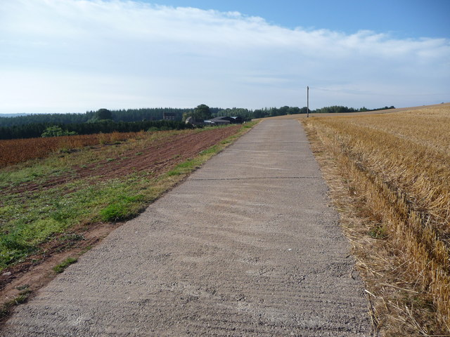
The woodland is crisscrossed with a network of well-maintained walking trails, allowing visitors to explore the area at their own pace. These trails offer opportunities to spot various bird species, including woodpeckers and thrushes, as well as small mammals such as squirrels and rabbits.
Neenshill Coppice is also home to a number of historic features, including remnants of an ancient ironworks that once thrived in the area. These remnants serve as a reminder of the region's industrial past, adding an interesting element to the woodland's charm.
For those looking to immerse themselves in the beauty of the natural world, Neenshill Coppice is a must-visit destination in Shropshire. Whether it's a leisurely stroll through the forest or a more adventurous hike, this woodland offers a tranquil retreat for all nature lovers.
If you have any feedback on the listing, please let us know in the comments section below.
Neenshill Coppice Images
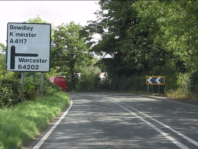
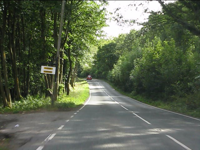
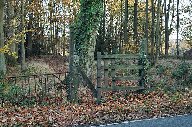
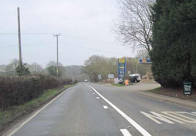
Images are sourced within 2km of 52.388997/-2.4407415 or Grid Reference SO7076. Thanks to Geograph Open Source API. All images are credited.


Neenshill Coppice is located at Grid Ref: SO7076 (Lat: 52.388997, Lng: -2.4407415)
Unitary Authority: Shropshire
Police Authority: West Mercia
What 3 Words
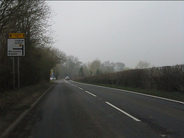
///jolly.prefect.waking. Near Cleobury Mortimer, Shropshire
Nearby Locations
Related Wikis

Cleobury Mortimer railway station
Cleobury Mortimer railway station was a station in Cleobury Mortimer, Shropshire, England. The station was opened in 1864 and closed in 1962. Station buildings...
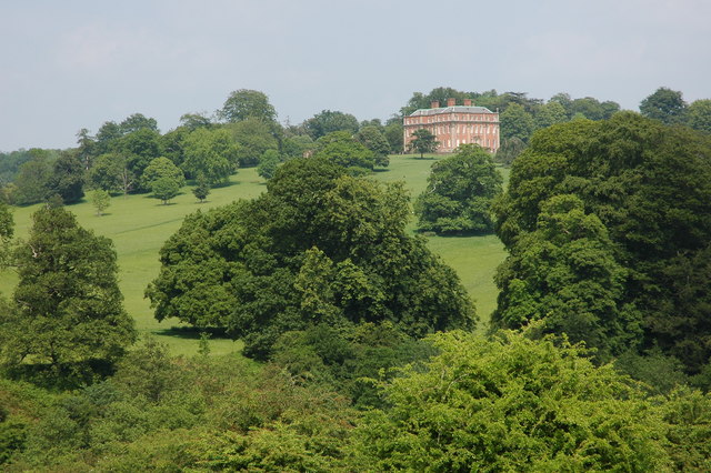
Mawley Hall
Mawley Hall is a privately owned 18th-century country mansion near Cleobury Mortimer, Shropshire, England. It is a Grade I listed building.The Blount family...

Cleobury Town Halt railway station
Cleobury Town Halt railway station was a station in Cleobury Mortimer, Shropshire, England. The station was opened in 1908 and closed in 1938. == References... ==
Castle Toot
Castle Toot, or Cleobury Castle, was a motte castle by the River Rea in the town of Cleobury Mortimer, Shropshire. It is a scheduled monument, first listed...
Related Videos

Wellfield Pools Fishery Holiday Cottages
A look around the holiday cottages at Wellfield Pools Fishery and Holidays, which is situated in Kinlet, near both Kidderminster ...

#pioneer #outdooractivity #centre #england #excellent
Pioneer Activity Center #kidderminster #uk #unitedkingdom #organizer #outdooractivity #mustsee #stay #prayer #retreat ...

Clay Farm Clows Top Caravan touring park.
Hi Guys welcome back to the channel. In this video I give you a quick run down on the facilities and things to do in and around the ...
Layla! Our Lunar Clubman SE
Hi Guys welcome back to the channel. In this video I give you a quick run down on our new to us caravan Layla! You see an ...
Nearby Amenities
Located within 500m of 52.388997,-2.4407415Have you been to Neenshill Coppice?
Leave your review of Neenshill Coppice below (or comments, questions and feedback).