Baucombe Coppice
Wood, Forest in Somerset Mendip
England
Baucombe Coppice
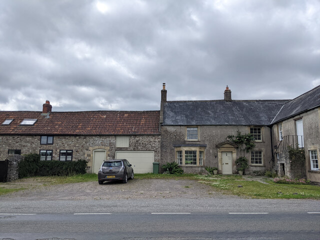
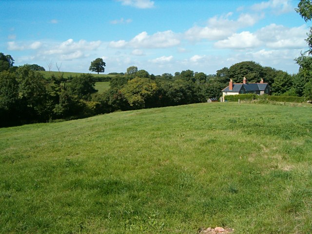
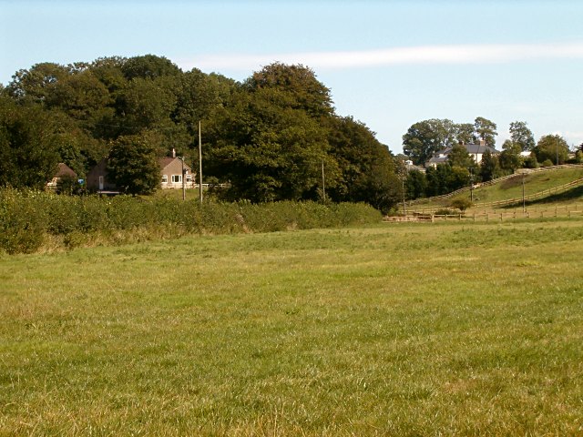
Baucombe Coppice is a serene woodland located in Somerset, England. Spread across approximately 50 acres, this picturesque forest is a haven for nature lovers and outdoor enthusiasts. The coppice is situated near the village of Baucombe, surrounded by rolling countryside and offering a tranquil escape from the bustling city life.
The woodland features a diverse range of trees, including oak, beech, and ash, creating a rich tapestry of colors throughout the seasons. The dense canopy and well-established undergrowth provide a perfect habitat for various wildlife species, making it an ideal spot for birdwatching and wildlife spotting. Visitors may have the chance to spot species such as deer, foxes, badgers, and a variety of bird species, including woodpeckers and owls.
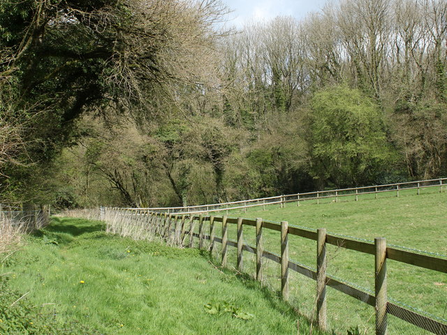
The forest is crisscrossed by a network of winding footpaths, allowing visitors to explore its hidden corners and discover its natural beauty. These paths are well-maintained and offer a gentle and accessible walk for all ages and abilities. The tranquil atmosphere and the soothing sounds of the woodland provide a calming and immersive experience for visitors seeking a break from the noise and stress of everyday life.
Baucombe Coppice also offers opportunities for recreational activities such as picnicking, nature photography, and nature study. The forest is a popular destination for school trips and educational programs, providing an interactive environment for learning about the natural world.
Overall, Baucombe Coppice is a stunning woodland retreat that offers a peaceful and immersive experience in the heart of Somerset's countryside. Whether you are a nature enthusiast, a photography lover, or simply seeking a place to unwind, this woodland sanctuary is a must-visit destination.
If you have any feedback on the listing, please let us know in the comments section below.
Baucombe Coppice Images
Images are sourced within 2km of 51.212864/-2.4294136 or Grid Reference ST7046. Thanks to Geograph Open Source API. All images are credited.
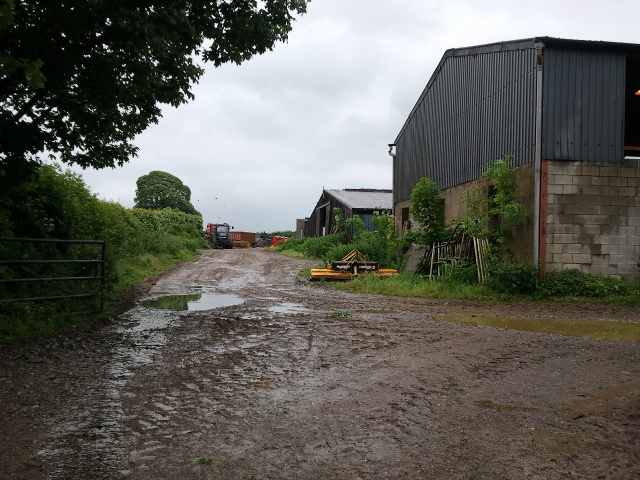
![2011 : Track through Asham Wood Wikipedia has this to say:
&quot;Asham Wood is the largest and most diverse of the ancient semi-natural woods in the Mendips. It has been the subject of controversy and attempts to protect the environment from increased quarrying activity in the area.
The wood occupies 2 deep valleys and the intervening plateau. Most of the underlying rocks are calcareous Carboniferous Limestone and Shales, but Devonian Portishead Beds outcrop along the northern valley. There [is] a range of unusual flora and fauna.
At Asham Wood near Frome coppicing and 50 dormouse boxes have been introduced in order to encourage nesting. The boxes are monitored and dormice numbers are recorded.&quot; <span class="nowrap"><a title="http://en.wikipedia.org/wiki/Asham_Wood" rel="nofollow ugc noopener" href="http://en.wikipedia.org/wiki/Asham_Wood">Link</a><img style="margin-left:2px;" alt="External link" title="External link - shift click to open in new window" src="https://s1.geograph.org.uk/img/external.png" width="10" height="10"/></span>
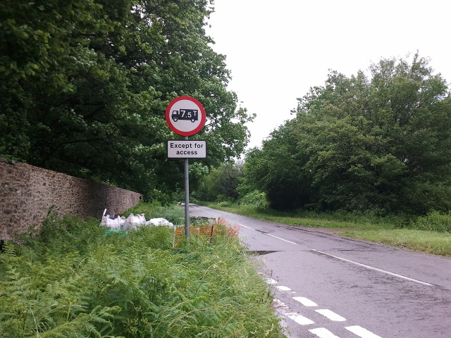
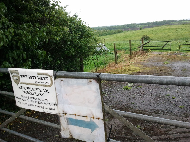
The only access to Asham Wood from the road is on the north east edge near Dead Womans Bottom, otherwise it is by footpath.](https://s0.geograph.org.uk/geophotos/02/35/76/2357688_98ea92cb.jpg)
![2011 : Track through Asham Wood Wikipedia has this to say:
&quot;Asham Wood is the largest and most diverse of the ancient semi-natural woods in the Mendips. It has been the subject of controversy and attempts to protect the environment from increased quarrying activity in the area.
The wood occupies 2 deep valleys and the intervening plateau. Most of the underlying rocks are calcareous Carboniferous Limestone and Shales, but Devonian Portishead Beds outcrop along the northern valley. There [is] a range of unusual flora and fauna.
At Asham Wood near Frome coppicing and 50 dormouse boxes have been introduced in order to encourage nesting. The boxes are monitored and dormice numbers are recorded.&quot; <span class="nowrap"><a title="http://en.wikipedia.org/wiki/Asham_Wood" rel="nofollow ugc noopener" href="http://en.wikipedia.org/wiki/Asham_Wood">Link</a><img style="margin-left:2px;" alt="External link" title="External link - shift click to open in new window" src="https://s1.geograph.org.uk/img/external.png" width="10" height="10"/></span>
The only access to Asham Wood from the road is on the north east edge near Dead Womans Bottom, otherwise it is by footpath.](https://s0.geograph.org.uk/geophotos/02/35/77/2357700_9db66174.jpg)
Baucombe Coppice is located at Grid Ref: ST7046 (Lat: 51.212864, Lng: -2.4294136)
Administrative County: Somerset
District: Mendip
Police Authority: Avon and Somerset
What 3 Words
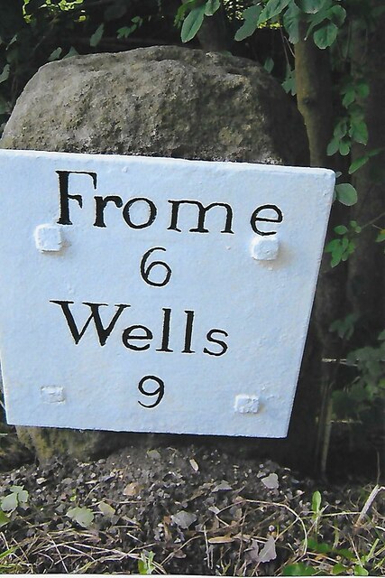
///example.treatment.flinch. Near Frome, Somerset
Nearby Locations
Related Wikis

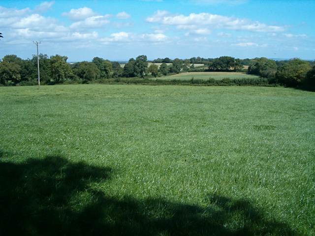
Asham Wood
Asham Wood (grid reference ST705460) is a 140.6-hectare (347-acre) biological Site of Special Scientific Interest east of Downhead and south of Leigh-on...

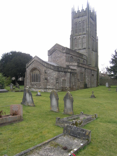
Church of All Saints, Downhead
The Anglican Church Of All Saints in Downhead, within the English county of Somerset, dates from the 14th century. It is a Grade II* listed building.The...
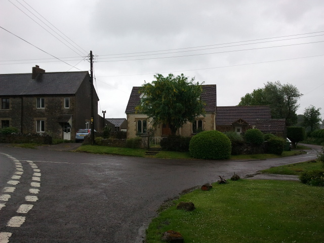
Downhead
Downhead is a village and civil parish close to Leigh-on-Mendip and 5 miles (8 km) north east of Shepton Mallet, in the Mendip district of Somerset, England...

Halecombe
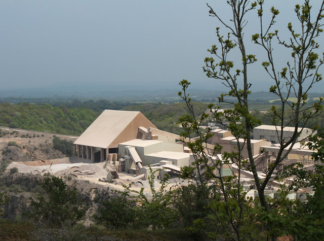
Halecombe is a limestone quarry near Leigh-on-Mendip on the Mendip Hills, Somerset, England. The quarry exhibits pale to dark grey well-bedded Carboniferous...
Torr Works
Torr Works quarry, grid reference ST695446 is a limestone quarry at East Cranmore, near Shepton Mallet on the Mendip Hills, Somerset, England. The quarry...

Leigh-on-Mendip
Leigh-on-Mendip or Leigh upon Mendip (on Ordnance Survey maps) is a small village on the Mendip Hills in Somerset, England. It lies roughly equidistant...
Leighton Road Cutting
Leighton Road Cutting (grid reference ST702437) is a 0.6 hectare geological Site of Special Scientific Interest between East Cranmore and Cloford in Somerset...

Cloford Quarry
Cloford Quarry (grid reference ST718444) is a 39.92-hectare (98.6-acre) geological Site of Special Scientific Interest to the south of the A361 approximately...
Nearby Amenities
Located within 500m of 51.212864,-2.4294136Have you been to Baucombe Coppice?
Leave your review of Baucombe Coppice below (or comments, questions and feedback).