Addyfield Wood
Wood, Forest in Lancashire South Lakeland
England
Addyfield Wood
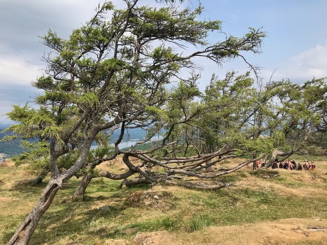
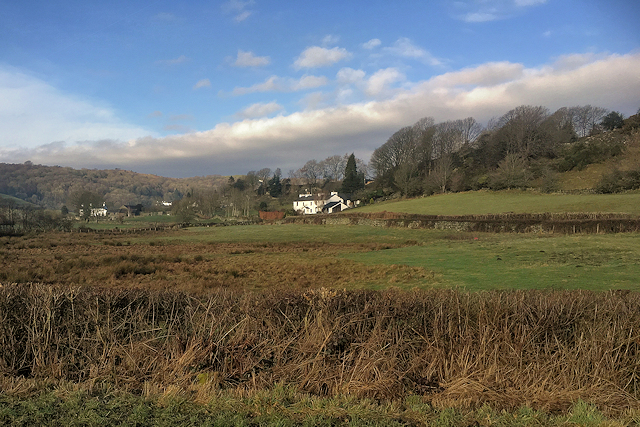
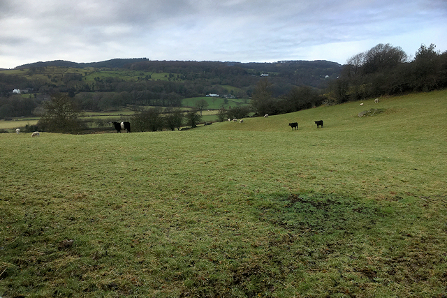
Addyfield Wood is a picturesque woodland located in Lancashire, England. Covering an area of approximately 20 acres, it is known for its natural beauty and tranquil atmosphere. The wood is situated near the village of Addyfield and is easily accessible by foot or car.
The wood is primarily composed of native broadleaf trees, including oak, beech, and birch. These trees create a dense canopy that provides shade and habitat for a variety of wildlife. Addyfield Wood is home to numerous bird species, including woodpeckers, owls, and thrushes, making it a popular destination for birdwatching enthusiasts.
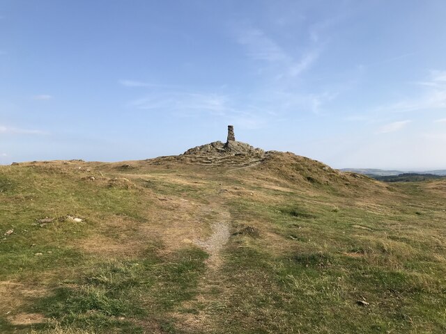
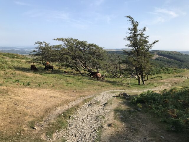
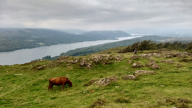
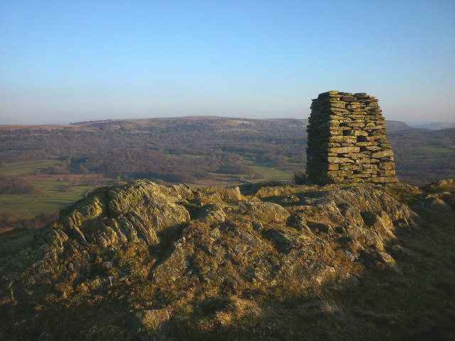
The woodland floor is covered in a rich carpet of wildflowers, including bluebells, primroses, and wood anemones, which bloom in the spring and add a burst of color to the landscape. There are also several clearings within the wood that offer panoramic views of the surrounding countryside.
The wood is well-maintained and features a network of footpaths, allowing visitors to explore its diverse ecosystem. It is a popular destination for walkers, joggers, and nature lovers looking to immerse themselves in the great outdoors.
Addyfield Wood is managed by the local council, who have implemented conservation measures to protect its unique flora and fauna. Visitors are encouraged to respect the environment and adhere to any signage or guidelines provided.
Overall, Addyfield Wood is a hidden gem in Lancashire, offering a peaceful retreat from the hustle and bustle of everyday life. Its natural beauty and abundance of wildlife make it a must-visit destination for nature enthusiasts in the region.
If you have any feedback on the listing, please let us know in the comments section below.
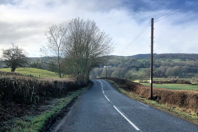
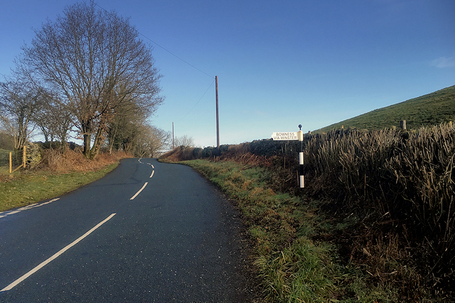
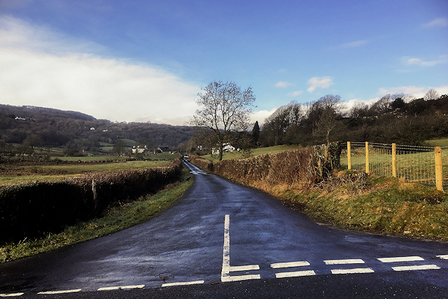
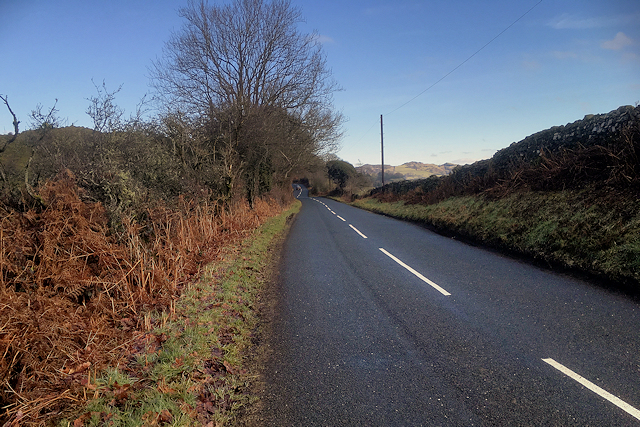
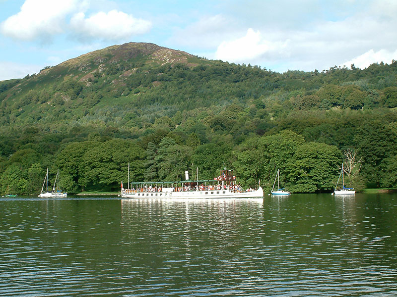
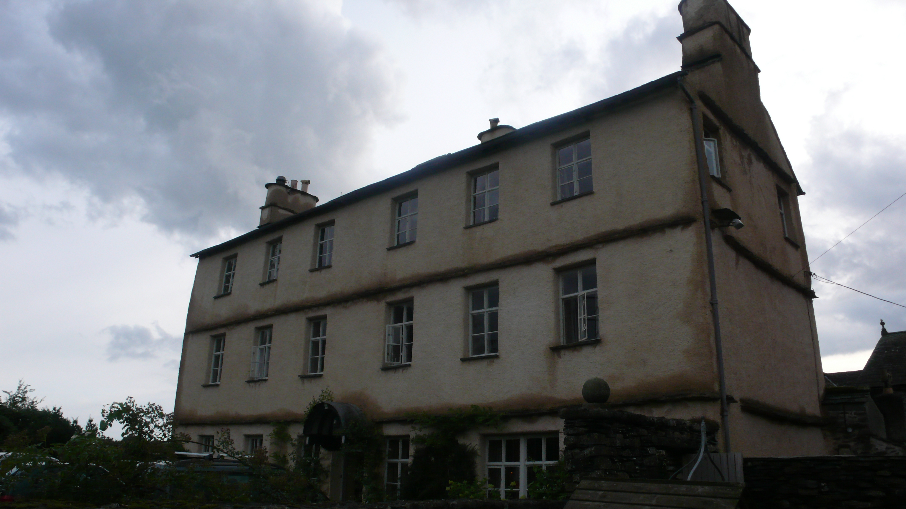
Addyfield Wood Images
Images are sourced within 2km of 54.2984/-2.9151957 or Grid Reference SD4089. Thanks to Geograph Open Source API. All images are credited.


Addyfield Wood is located at Grid Ref: SD4089 (Lat: 54.2984, Lng: -2.9151957)
Administrative County: Cumbria
District: South Lakeland
Police Authority: Cumbria
What 3 Words
///nuzzling.balloons.removes. Near Windermere, Cumbria
Nearby Locations
Related Wikis

Heights Tarn
Heights Tarn is a small lake to the east of Windermere and north of Simpson Ground Reservoir, near Cartmel Fell, in the Lake District of Cumbria, England...
Bowland Bridge
Bowland Bridge is a village in Cumbria, England. == See also == == External links == Media related to Bowland Bridge at Wikimedia Commons
Gummer's How
Gummer's How is a hill in the southern part of the Lake District, on the eastern shore of Windermere, near its southern end. How, derived from the Old...

St Anthony's Church, Cartmel Fell
St Anthony's Church, is in the village of Cartmel Fell, Cumbria, England. It is an active Anglican parish church in the deanery of Kendal, the archdeaconry...
Cartmel Fell
Cartmel Fell is a hamlet and a civil parish in the South Lakeland district of Cumbria, England. In the 2001 census the parish had a population of 309,...
Cowmire Hall
Cowmire Hall is a country house near Crosthwaite in Cumbria, England. The hall, the garden wall and gate piers are recorded in the National Heritage List...

South Lakeland
South Lakeland was a local government district in Cumbria, England, from 1974 to 2023. Its council was based in Kendal. The district covered the southern...

Westmorland and Lonsdale (UK Parliament constituency)
Westmorland and Lonsdale is a constituency in the south of Cumbria, represented in the House of Commons of the UK Parliament since 2005 by Tim Farron,...
Nearby Amenities
Located within 500m of 54.2984,-2.9151957Have you been to Addyfield Wood?
Leave your review of Addyfield Wood below (or comments, questions and feedback).