Ludderburn Park Wood
Wood, Forest in Lancashire South Lakeland
England
Ludderburn Park Wood
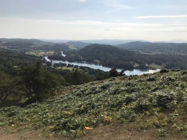
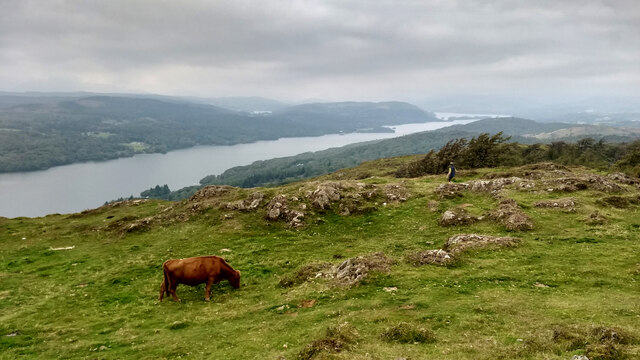
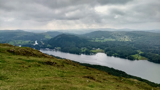
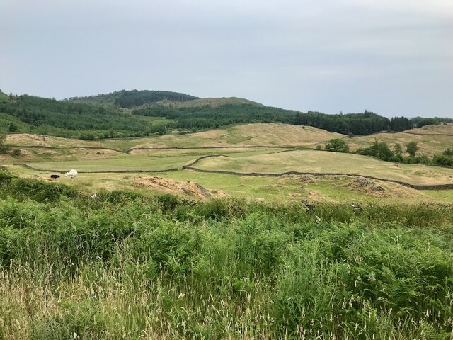
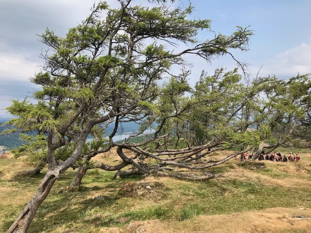
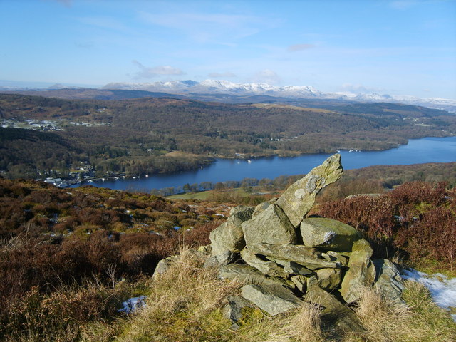
Ludderburn Park Wood, located in Lancashire, is a picturesque and tranquil forested area that spans approximately 50 acres. This woodland is situated near the small village of Ludderburn, surrounded by rolling hills and stunning countryside. The wood is predominantly composed of mixed broadleaf trees, including oak, beech, birch, and ash, creating a diverse and vibrant ecosystem.
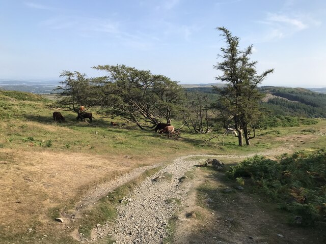
The woodland is popular among nature enthusiasts, offering a range of habitats for various wildlife species. It is home to a variety of bird species, including woodpeckers, owls, and songbirds, making it an ideal location for birdwatching. Small mammals such as squirrels, rabbits, and hedgehogs can also be spotted among the dense undergrowth.
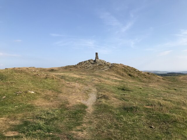
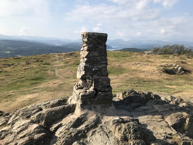
There are several well-maintained walking trails that wind through the woodland, allowing visitors to explore and appreciate the natural beauty of the area. These paths are suitable for all levels of walkers, providing a peaceful and serene atmosphere for leisurely strolls or more vigorous hikes.
Ludderburn Park Wood is also rich in historical significance. The wood was once part of an ancient hunting ground and has remnants of old deer parks and boundaries, adding an intriguing element to its allure.
The woodland is open to the public year-round, offering a peaceful retreat for nature lovers, families, and individuals seeking solace in the great outdoors. With its diverse flora and fauna, rich history, and scenic landscapes, Ludderburn Park Wood is a true gem within Lancashire's natural landscape.
If you have any feedback on the listing, please let us know in the comments section below.
Ludderburn Park Wood Images
Images are sourced within 2km of 54.299725/-2.9230312 or Grid Reference SD4089. Thanks to Geograph Open Source API. All images are credited.


Ludderburn Park Wood is located at Grid Ref: SD4089 (Lat: 54.299725, Lng: -2.9230312)
Administrative County: Cumbria
District: South Lakeland
Police Authority: Cumbria
What 3 Words
///steadily.slave.aunts. Near Windermere, Cumbria
Nearby Locations
Related Wikis

Heights Tarn
Heights Tarn is a small lake to the east of Windermere and north of Simpson Ground Reservoir, near Cartmel Fell, in the Lake District of Cumbria, England...
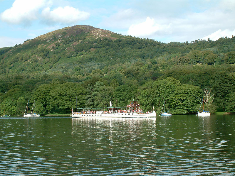
Gummer's How
Gummer's How is a hill in the southern part of the Lake District, on the eastern shore of Windermere, near its southern end. How, derived from the Old...
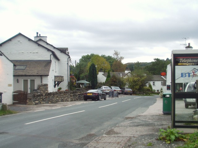
Bowland Bridge
Bowland Bridge is a village in Cumbria, England. == See also == == External links == Media related to Bowland Bridge at Wikimedia Commons

St Anthony's Church, Cartmel Fell
St Anthony's Church, is in the village of Cartmel Fell, Cumbria, England. It is an active Anglican parish church in the deanery of Kendal, the archdeaconry...
Cartmel Fell
Cartmel Fell is a hamlet and a civil parish in the South Lakeland district of Cumbria, England. In the 2001 census the parish had a population of 309,...

Moor Crag
Moor Crag (sometimes Moorcrag) is a Grade I listed house near Bowness-on-Windermere in South Lakeland, Cumbria, England, overlooking Windermere. It lies...
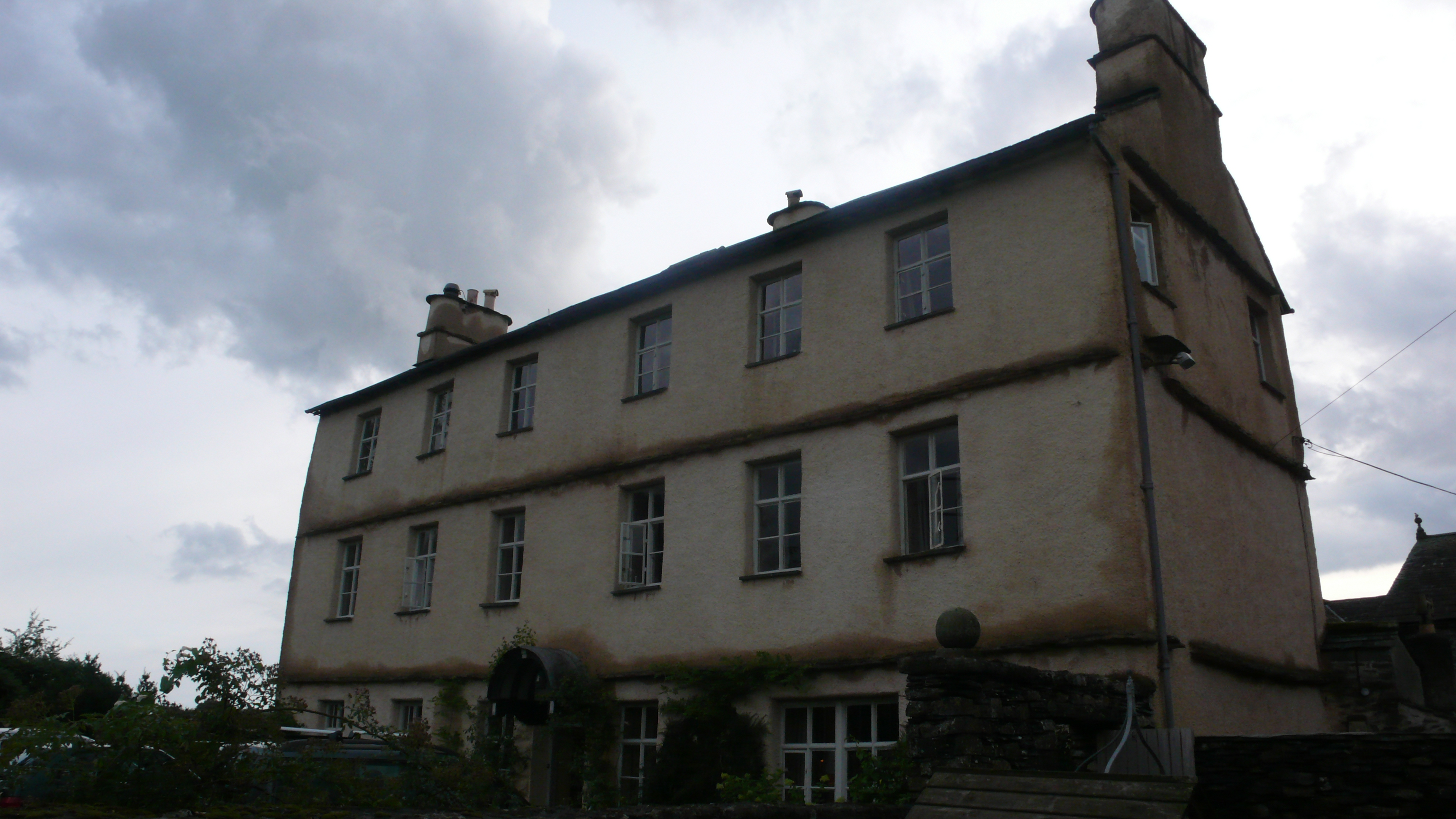
Cowmire Hall
Cowmire Hall is a country house near Crosthwaite in Cumbria, England. The hall, the garden wall and gate piers are recorded in the National Heritage List...
Staveley Fell
Staveley Fell is an upland area in the English Lake District, near (and named for) Staveley-in-Cartmel (not to be confused with Staveley-in-Westmorland...
Nearby Amenities
Located within 500m of 54.299725,-2.9230312Have you been to Ludderburn Park Wood?
Leave your review of Ludderburn Park Wood below (or comments, questions and feedback).