Great Wood
Wood, Forest in Lancashire South Lakeland
England
Great Wood

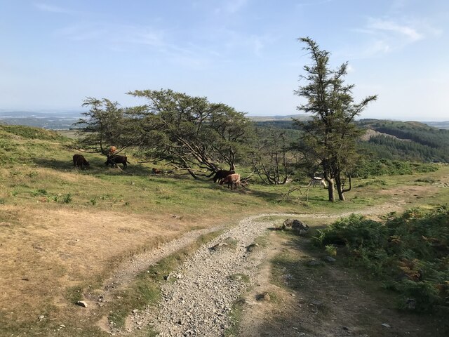
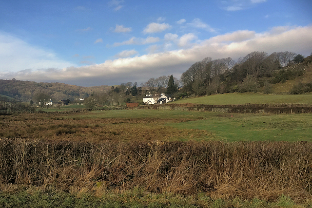
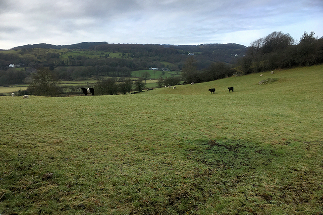
Great Wood, Lancashire, also known as Wood or Forest, is a majestic woodland located in the county of Lancashire, England. Spanning an area of approximately 500 acres, Great Wood is a haven of natural beauty and tranquility.
The woodland is predominantly composed of native broadleaf trees, including oak, beech, and birch, which create a dense canopy, providing shade and shelter for a diverse range of flora and fauna. The forest floor is adorned with a carpet of vibrant wildflowers, ferns, and mosses, adding to the enchanting atmosphere.
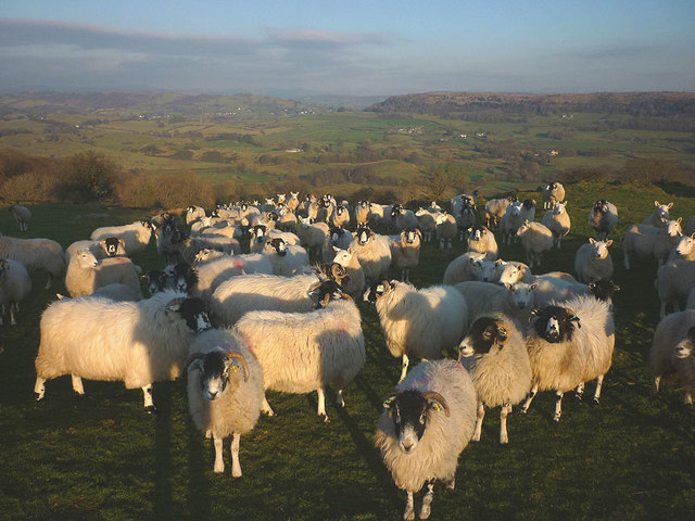
Great Wood is home to a plethora of wildlife, making it a haven for nature enthusiasts and wildlife photographers. Visitors can spot a wide range of species, including red deer, foxes, badgers, and various bird species such as woodpeckers and owls. The woodland also supports a rich variety of insect life, including butterflies and beetles.
The forest offers numerous walking trails and paths, allowing visitors to explore and immerse themselves in the natural surroundings. These trails vary in difficulty, catering to both leisurely strolls and more challenging hikes. Along the way, visitors can enjoy breathtaking views of the woodland, meandering streams, and occasional glimpses of wildlife.
Great Wood is not only a haven for nature lovers but also a valuable ecological asset. It plays a crucial role in carbon sequestration, improving air quality, and providing a habitat for numerous species. The woodland also offers educational opportunities, with guided tours and workshops on conservation and wildlife management.
Overall, Great Wood, Lancashire, is a captivating woodland that offers a unique opportunity to connect with nature and appreciate the beauty of Lancashire's natural heritage.
If you have any feedback on the listing, please let us know in the comments section below.
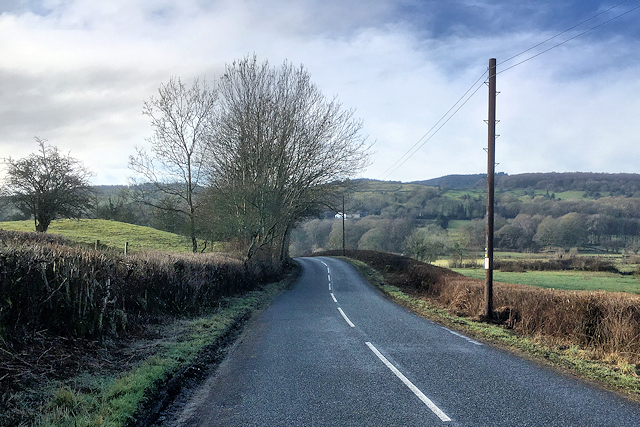
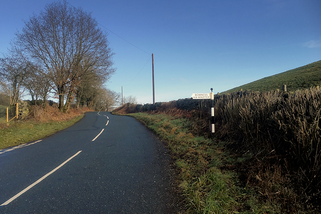
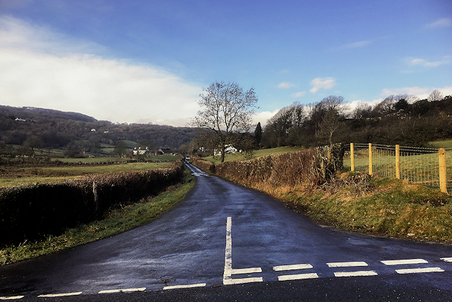
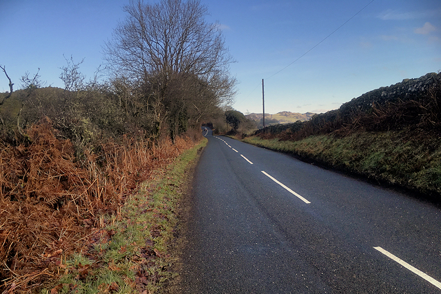
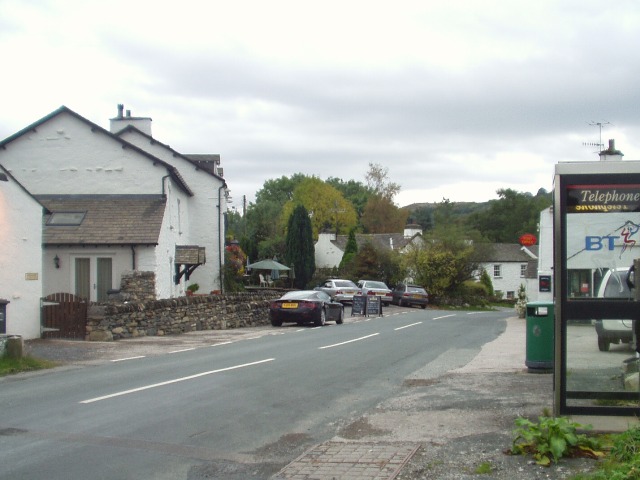
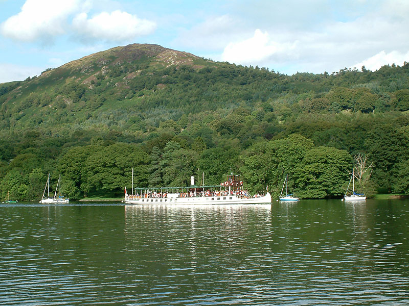
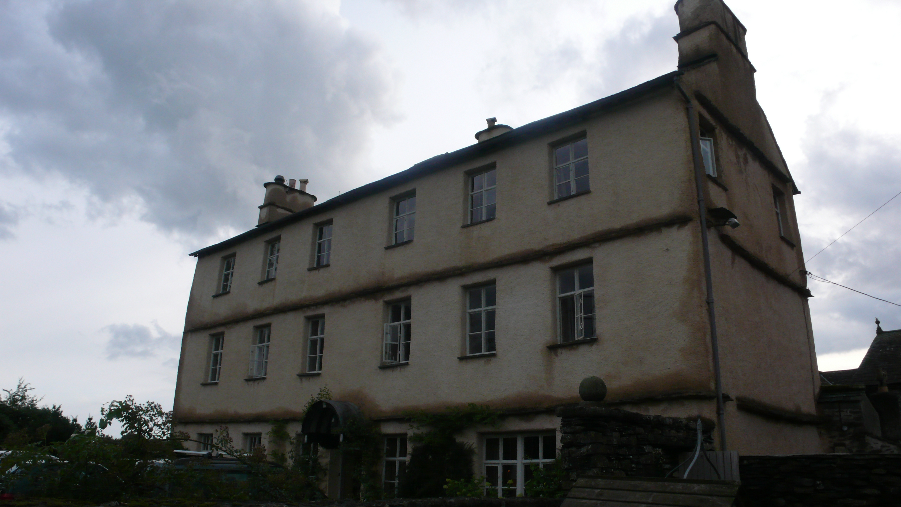
Great Wood Images
Images are sourced within 2km of 54.300042/-2.9167074 or Grid Reference SD4089. Thanks to Geograph Open Source API. All images are credited.


Great Wood is located at Grid Ref: SD4089 (Lat: 54.300042, Lng: -2.9167074)
Administrative County: Cumbria
District: South Lakeland
Police Authority: Cumbria
What 3 Words
///nightlife.blocks.arrives. Near Windermere, Cumbria
Nearby Locations
Related Wikis

Heights Tarn
Heights Tarn is a small lake to the east of Windermere and north of Simpson Ground Reservoir, near Cartmel Fell, in the Lake District of Cumbria, England...
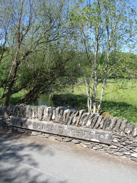
Bowland Bridge
Bowland Bridge is a village in Cumbria, England. == See also == == External links == Media related to Bowland Bridge at Wikimedia Commons
Gummer's How
Gummer's How is a hill in the southern part of the Lake District, on the eastern shore of Windermere, near its southern end. How, derived from the Old...

St Anthony's Church, Cartmel Fell
St Anthony's Church, is in the village of Cartmel Fell, Cumbria, England. It is an active Anglican parish church in the deanery of Kendal, the archdeaconry...
Cartmel Fell
Cartmel Fell is a hamlet and a civil parish in the South Lakeland district of Cumbria, England. In the 2001 census the parish had a population of 309,...
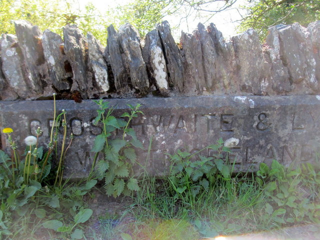
Cowmire Hall
Cowmire Hall is a country house near Crosthwaite in Cumbria, England. The hall, the garden wall and gate piers are recorded in the National Heritage List...

South Lakeland
South Lakeland was a local government district in Cumbria, England, from 1974 to 2023. Its council was based in Kendal. The district covered the southern...

Westmorland and Lonsdale (UK Parliament constituency)
Westmorland and Lonsdale is a constituency in the south of Cumbria, represented in the House of Commons of the UK Parliament since 2005 by Tim Farron,...
Nearby Amenities
Located within 500m of 54.300042,-2.9167074Have you been to Great Wood?
Leave your review of Great Wood below (or comments, questions and feedback).