Dunning Wood

Wood, Forest in Shropshire

England

Dunning Wood

Approaching Platt Bridge Road works in operation on B4397 for bridge repairs
Approaching Platt Bridge Credit: John Firth

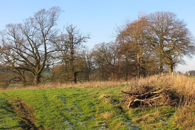
Dunning Wood is a picturesque forest located in the county of Shropshire, England. Covering an area of approximately 100 acres, it is renowned for its natural beauty and tranquil atmosphere. The wood is situated near the village of Dunnington, and its lush green landscape is home to a diverse range of flora and fauna.

The woodland consists predominantly of deciduous trees, including oak, beech, and birch. These tall, majestic trees provide a dense canopy that casts dappled sunlight on the forest floor, creating a magical ambiance. Throughout the seasons, the wood displays an array of colors, from vibrant greens in the spring and summer, to rich reds, oranges, and yellows in the autumn months.

Dunning Wood offers a haven for wildlife enthusiasts and nature lovers alike. The forest is a habitat for various species, including deer, foxes, badgers, and an abundance of birdlife. Birdwatchers can often spot woodpeckers, tawny owls, and various songbirds within the wood.

Visitors can explore the woodland through a network of well-maintained footpaths and trails, which wind their way through the trees, offering stunning vistas and peaceful spots for picnics. The wood also features a small stream that meanders through its heart, adding to its charm.

Dunning Wood is a popular destination for outdoor activities such as walking, jogging, and photography. Its serene and unspoiled environment provides a welcome retreat from the hustle and bustle of everyday life, making it a cherished location for locals and tourists alike.

If you have any feedback on the listing, please let us know in the comments section below.
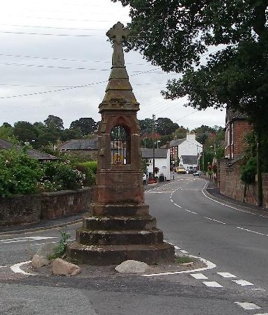
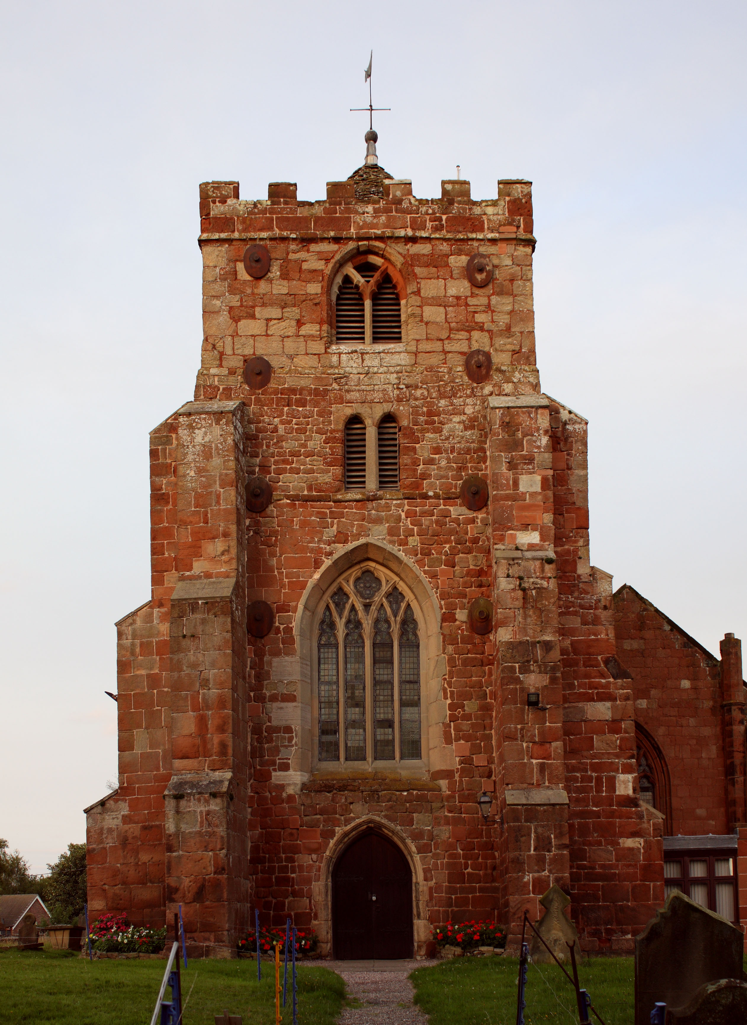
Dunning Wood Images

Images are sourced within 2km of 52.796838/-2.8910058 or Grid Reference SJ4022. Thanks to Geograph Open Source API. All images are credited.

Approaching Platt Bridge Road works in operation on B4397 for bridge repairs
Approaching Platt Bridge
Road works in operation on B4397 for bridge repairs
The Old Toll House at Platt Bridge
B4397 at Baschurch Cemetery entrance
B4397 at The Broadlands entrance
The Forest Delusions of grandeur near Ryton XI Towns. It is just a small covert.
The Forest
Delusions of grandeur near Ryton XI Towns. It is just a small covert.
Woodland, Boreatton Park A small oak wood.
Woodland, Boreatton Park
A small oak wood.
Grassland, Stanwardine The feeder suggests grazing for sheep.
Grassland, Stanwardine
The feeder suggests grazing for sheep.
Boreatton Park Farming activity near Boreatton Park.
Boreatton Park
Farming activity near Boreatton Park.
Rural road Near Boreatton Park.
Rural road
Near Boreatton Park.
Field of wheat
Field of wheat
Farm road to Birch Park
Industrial units at Platt Mill Currently occupied by Dairi-Pak corrugated packaging.
Industrial units at Platt Mill
Currently occupied by Dairi-Pak corrugated packaging.
Waterlogged track in winter Yes, I bring my wife to all the best places. She has endured many mud filled sunken ways, flooded paths, slippery slopes and be-puddled farm and field tracks at my behest to date, and has never mutinied, so far. She is much the same strolling the shore's edge on the coast of the south of France, or a wooded track in the Pyrenees in summer as she is here I am glad to say. We have the right gear, the right attitude and great heaters in the car, plus a decent packed lunch, a hot flask and the distant allure of a baked potato in the oven at home. Enough to keep anyone on track.
Waterlogged track in winter
Yes, I bring my wife to all the best places. She has endured many mud filled sunken ways, flooded paths, slippery slopes and be-puddled farm and field tracks at my behest to date, and has never mutinied, so far. She is much the same strolling the shore's edge on the coast of the south of France, or a wooded track in the Pyrenees in summer as she is here I am glad to say. We have the right gear, the right attitude and great heaters in the car, plus a decent packed lunch, a hot flask and the distant allure of a baked potato in the oven at home. Enough to keep anyone on track.
Old quarry face or cliff near Ruyton-XI-Towns I would like to investigate closer but it is all fenced off.
Old quarry face or cliff near Ruyton-XI-Towns
I would like to investigate closer but it is all fenced off.
Industrial units at Plattmill near Ruyton-XI-Towns Nice lofty pallet pile.
Industrial units at Plattmill near Ruyton-XI-Towns
Nice lofty pallet pile.
Company car parking at Plattmill For Dairi-Pak, who do corrugated packaging. Fascinating.
Company car parking at Plattmill
For Dairi-Pak, who do corrugated packaging. Fascinating.
Corrugated sheds at Plattmill Nice. There are websites and online pages dedicated to the appreciation of such structures. I commend them to you.
Corrugated sheds at Plattmill
Nice. There are websites and online pages dedicated to the appreciation of such structures. I commend them to you.
Path onto a footpath behind the hedge The path here offers protection from passing vehicles. Great. Much appreciated.
Path onto a footpath behind the hedge
The path here offers protection from passing vehicles. Great. Much appreciated.
Show me another place!

Dunning Wood is located at Grid Ref: SJ4022 (Lat: 52.796838, Lng: -2.8910058)

Unitary Authority: Shropshire

Police Authority: West Mercia

What 3 Words

///truly.iterative.annoys. Near Ruyton-XI-Towns, Shropshire

Related Wikis

Ruyton-XI-Towns

Ruyton-XI-Towns ( "ry-tən eleven towns"), formally Ruyton of the Eleven Towns or simply Ruyton, is a village and civil parish next to the River Perry in...

Packwood Haugh School

Packwood Haugh School is a co-educational private preparatory school for pupils from the ages of 4 to 13, offering places for both day and boarding pupils...

Stanwardine Halt railway station

Stanwardine Halt was a minor station located north of Shrewsbury on the GWR's Paddington to Birkenhead main line. It was opened in the 1930s as part of...

Wykey

Wykey is a hamlet in Shropshire, England. It is approximately 2 miles north of the larger village of Ruyton-XI-Towns, and is recognised as one of the eleven...
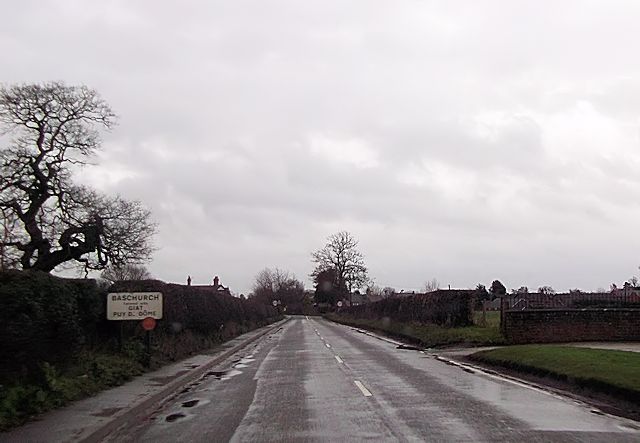
Baschurch

Baschurch is a large village and civil parish in Shropshire, England. It lies in the north of Shropshire. The village had a population of 2,503 as of the...

The Corbet School

The Corbet School is a mixed secondary school located in Baschurch in the English county of Shropshire.Originally known as Baschurch Secondary Modern School...

Baschurch railway station

Baschurch railway station was a minor station located about ten miles north of Shrewsbury on the GWR's Paddington to Birkenhead main line. Today this is...

Shelvock Manor

Shelvock Manor is a house and grounds in a township of the same name near Shrewsbury, Shropshire, England. It was once a place of local importance, and...

Nearby Amenities

Located within 500m of 52.796838,-2.8910058
Mini Roundabout
Direction: clockwise
Lat/Long: 52.794488/-2.8884983
Brownhill
Place: locality
Lat/Long: 52.7950279/-2.8909505
War Memorial
Historic: memorial
Wikidata: Q26670813
Lat/Long: 52.7940179/-2.896573
Historic: memorial
Memorial: war_memorial
Lat/Long: 52.7947923/-2.8924713
Power: pole
Lat/Long: 52.7944534/-2.894707
Power: pole
Lat/Long: 52.7951005/-2.8951469
Power: pole
Lat/Long: 52.7952903/-2.8846756
Power: pole
Lat/Long: 52.7955157/-2.8855607
Power: pole
Lat/Long: 52.7957233/-2.886356
Power: pole
Lat/Long: 52.7961985/-2.8893936
Power: pole
Lat/Long: 52.7962423/-2.8905483
Power: pole
Lat/Long: 52.7962934/-2.8916614
Power: pole
Lat/Long: 52.7963331/-2.8927678
Power: pole
Lat/Long: 52.796046/-2.8942752
Power: pole
Lat/Long: 52.7958028/-2.8956056
Power: pole
Lat/Long: 52.7958125/-2.8973839
Power: pole
Lat/Long: 52.7961709/-2.897467
Power: pole
Lat/Long: 52.7968342/-2.8975073
Power: pole
Lat/Long: 52.7978008/-2.8975529
Power: pole
Lat/Long: 52.7986262/-2.8975931
Power: pole
Lat/Long: 52.79891/-2.8960535
Power: pole
Lat/Long: 52.7990892/-2.8929555
Power: pole
Lat/Long: 52.8001977/-2.8908286
Power: pole
Lat/Long: 52.8000306/-2.8894874
Power: pole
Lat/Long: 52.7999236/-2.8887016
Power: pole
Lat/Long: 52.800522/-2.8875858
Give Way
Direction: backward
Lat/Long: 52.7947548/-2.885839
Barrier: cattle_grid
Lat/Long: 52.7946306/-2.8851292
Bench
Backrest: yes
Material: wood
Seats: 2
Lat/Long: 52.7946612/-2.886998
Give Way
Direction: forward
Lat/Long: 52.7944155/-2.8868099
Passing Place
Lat/Long: 52.7953921/-2.8864524
The data included in this document is from www.openstreetmap.org. The data is made available under ODbL.

Have you been to Dunning Wood?

Leave your review of Dunning Wood below (or comments, questions and feedback).