Barnett Wood
Wood, Forest in Herefordshire
England
Barnett Wood
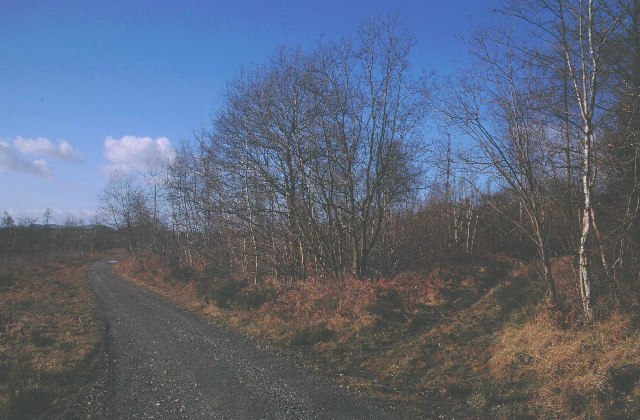
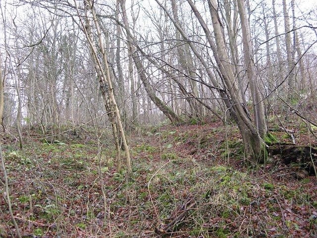
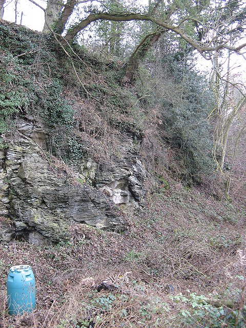
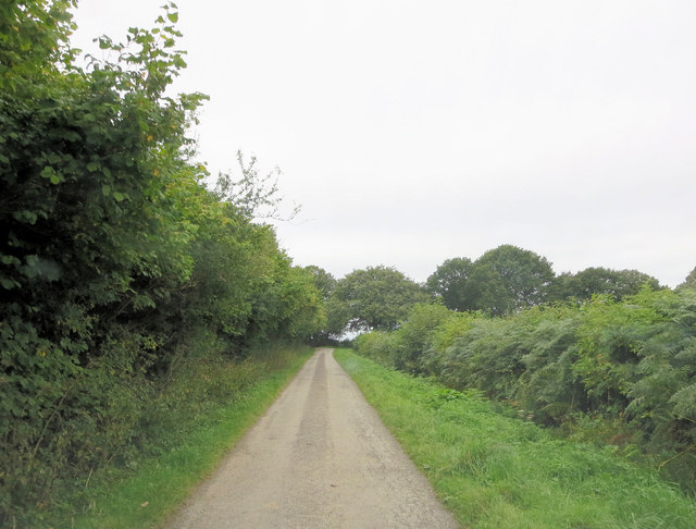
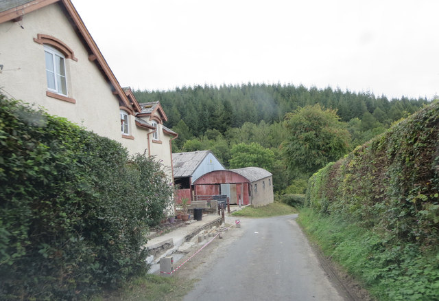
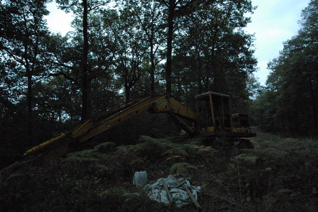
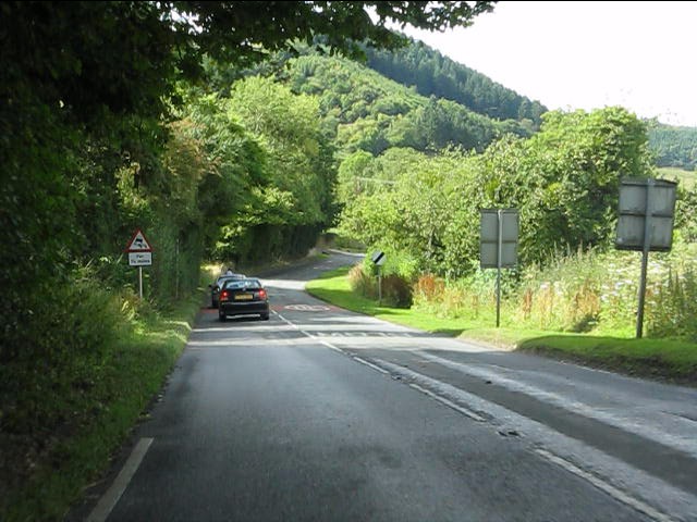
Barnett Wood is a small woodland situated in Herefordshire, England. It covers an area of approximately 30 acres and is located near the village of Barnett. The wood is known for its diverse range of tree species, including oak, ash, beech, and birch. These trees create a lush and vibrant canopy that provides shade and shelter for various wildlife.
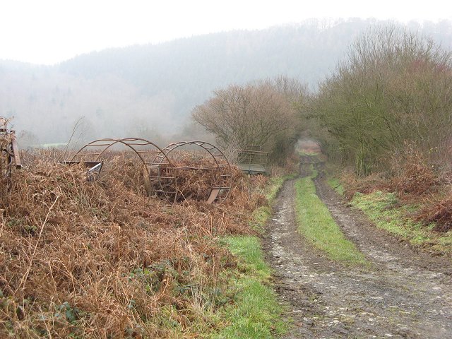
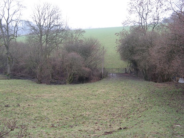
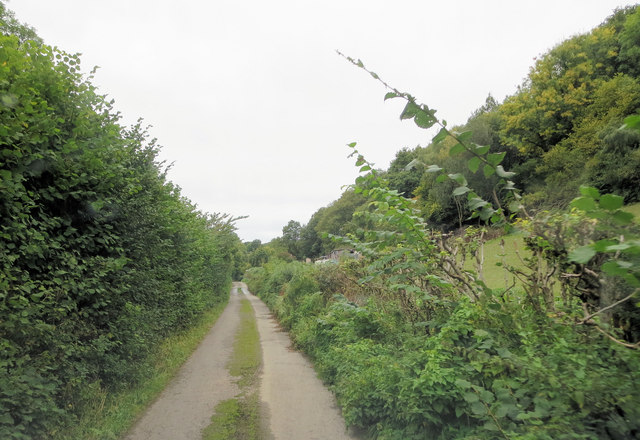
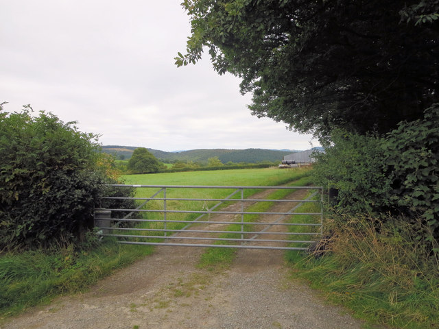
The woodland is accessible via a network of footpaths and trails, allowing visitors to explore its natural beauty. Walking through Barnett Wood, one can experience the tranquility of nature and admire the ancient trees that have stood for generations. The forest floor is carpeted with a variety of wildflowers, adding bursts of color and attracting a myriad of insects and butterflies.
The wood is also home to a wide range of wildlife. It provides a habitat for numerous bird species, including woodpeckers, owls, and songbirds. Squirrels can be spotted darting through the trees, while rabbits and foxes may be seen foraging in the undergrowth.
Barnett Wood has historical significance as well. It is believed to have been part of a much larger forest that once covered the area during medieval times. Today, it serves as a reminder of the region's rich natural heritage and provides a peaceful retreat for nature lovers and outdoor enthusiasts.
Overall, Barnett Wood in Herefordshire offers a peaceful and picturesque environment, where visitors can immerse themselves in the beauty of nature and appreciate the diverse ecosystem it supports.
If you have any feedback on the listing, please let us know in the comments section below.
Barnett Wood Images
Images are sourced within 2km of 52.309584/-2.8812311 or Grid Reference SO4068. Thanks to Geograph Open Source API. All images are credited.

Barnett Wood is located at Grid Ref: SO4068 (Lat: 52.309584, Lng: -2.8812311)
Unitary Authority: County of Herefordshire
Police Authority: West Mercia
What 3 Words
///condition.bunk.fact. Near Wigmore, Herefordshire
Nearby Locations
Related Wikis
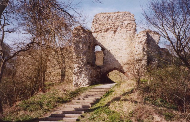
Wigmore Castle
Wigmore Castle is a ruined castle about 1 km (0.62 mi) from the village of Wigmore in the northwest region of Herefordshire, England. == History == Wigmore...

Wigmore, Herefordshire
Wigmore is a village and civil parish in the northwest part of the county of Herefordshire, England. It is located on the A4110 road, about 8 miles (13...

Wigmore High School
Wigmore High School is a mixed secondary school in Wigmore, in the county of Herefordshire, England.Previously a foundation school, in 2007 Wigmore High...

Adforton
Adforton is a small village and a civil parish in north Herefordshire, England. It is on the A4110 main road approximately 22 miles (35 km) north of Hereford...

Wigmore Abbey Grange
Wigmore Abbey Grange is a complex of former monastic buildings just north of the village of Adforton, Herefordshire, England. == History == Wigmore Abbey...
Limebrook Priory
Limebrook Priory was a priory in Lingen, Herefordshire, England at grid reference SO37386604. == History == === Origins === Situated in Lingen, Herefordshire...
Birtley, Herefordshire
Birtley is a hamlet in north Herefordshire, in England. It is situated to the west of Ludlow and Leominster, approximately 16 km (9.9 mi) from both towns...

Aymestrey burial
The Aymestrey burial was a beaker cist at Aymestrey, Herefordshire, England. The remains and objects are now in a recreated cist, at Leominster Museum...
Nearby Amenities
Located within 500m of 52.309584,-2.8812311Have you been to Barnett Wood?
Leave your review of Barnett Wood below (or comments, questions and feedback).