Wigmore
Civil Parish in Herefordshire
England
Wigmore
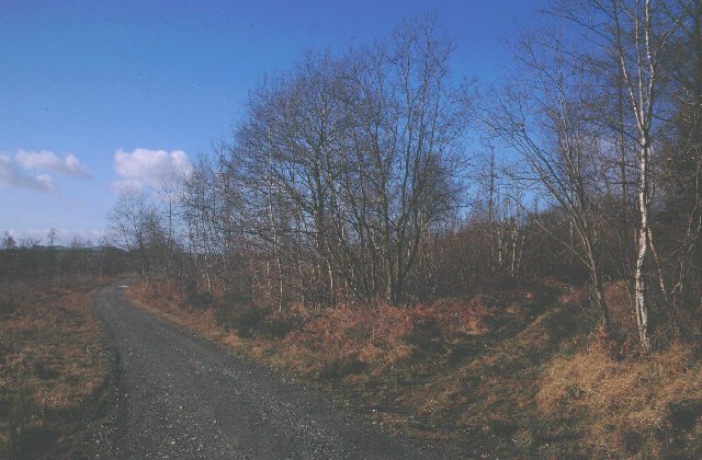
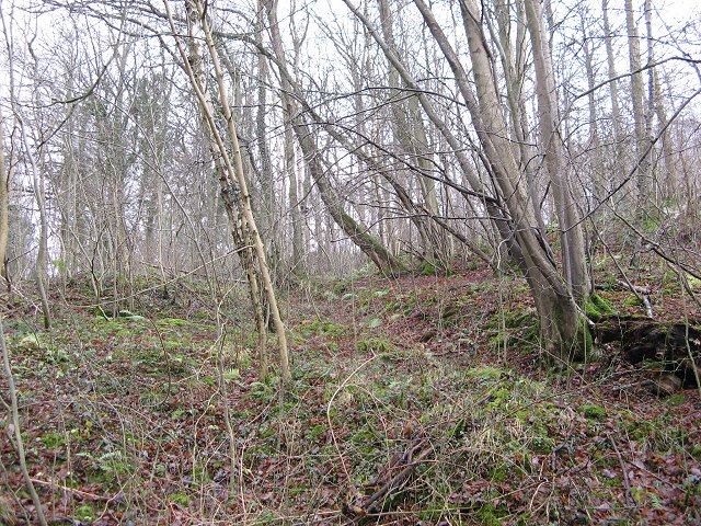
Wigmore is a civil parish located in the county of Herefordshire, England. It is nestled in the picturesque landscape of the Mortimer Forest, approximately 9 miles northwest of the town of Leominster. The parish covers an area of around 25 square kilometers and is home to a population of around 500 residents.
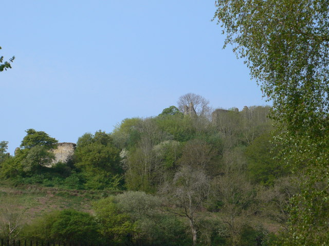
The village of Wigmore itself is steeped in history, with evidence of settlement dating back to prehistoric times. The centerpiece of the village is Wigmore Castle, a medieval fortress that was once a stronghold of the powerful Mortimer family. The castle, now in ruins, attracts visitors from far and wide, offering a glimpse into the area's rich past.
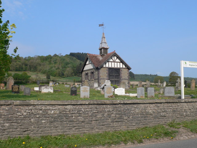
The parish boasts a thriving community, with a range of amenities and services available for residents and visitors alike. It is home to a primary school, a village hall, and a local pub, providing a focal point for social gatherings and events. The surrounding countryside offers ample opportunities for outdoor activities, including walking, cycling, and horse riding, with numerous trails and pathways crisscrossing the area.
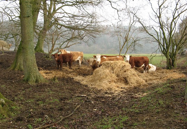
Wigmore is also known for its agricultural heritage, with farming playing a prominent role in the local economy. The fertile land surrounding the village supports a variety of agricultural enterprises, from dairy farming to arable cultivation.
Overall, Wigmore offers a peaceful and idyllic setting, combining natural beauty with a strong sense of community and history. It is a place where residents can enjoy a relaxed rural lifestyle while being within easy reach of larger towns and cities.
If you have any feedback on the listing, please let us know in the comments section below.
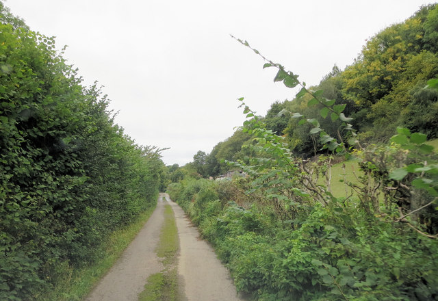
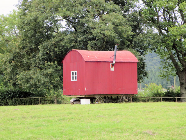
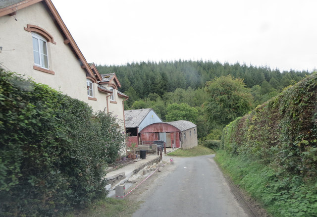
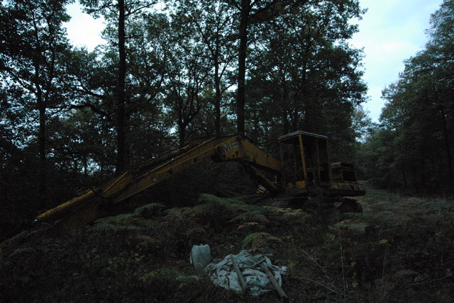
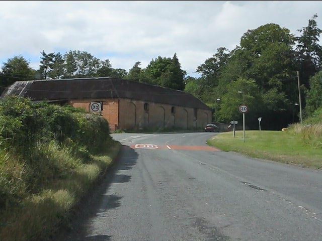
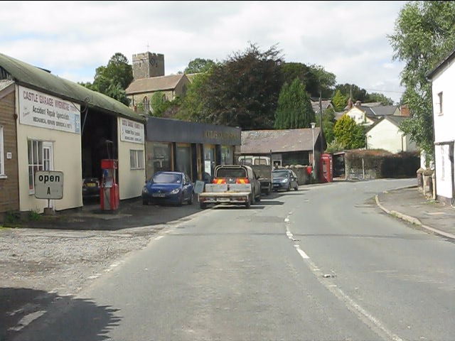
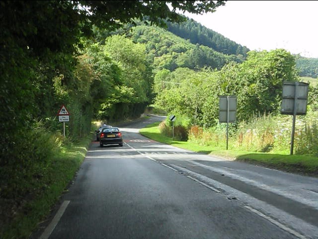
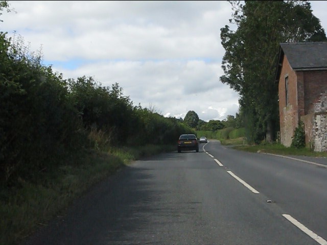
Wigmore Images
Images are sourced within 2km of 52.314832/-2.879826 or Grid Reference SO4068. Thanks to Geograph Open Source API. All images are credited.


Wigmore is located at Grid Ref: SO4068 (Lat: 52.314832, Lng: -2.879826)
Unitary Authority: County of Herefordshire
Police Authority: West Mercia
What 3 Words
///incensed.homeward.firmly. Near Wigmore, Herefordshire
Nearby Locations
Related Wikis
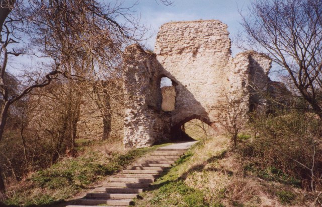
Wigmore Castle
Wigmore Castle is a ruined castle about 1 km (0.62 mi) from the village of Wigmore in the northwest region of Herefordshire, England. == History == Wigmore...

Wigmore, Herefordshire
Wigmore is a village and civil parish in the northwest part of the county of Herefordshire, England. It is located on the A4110 road, about 8 miles (13...

Wigmore Hall, Herefordshire
Wigmore Hall is a Grade II listed building in the village of Wigmore in Herefordshire, England. == History == Wigmore Hall dates from the 16th century...

Wigmore High School
Wigmore High School is a mixed secondary school in Wigmore, in the county of Herefordshire, England.Previously a foundation school, in 2007 Wigmore High...
Nearby Amenities
Located within 500m of 52.314832,-2.879826Have you been to Wigmore?
Leave your review of Wigmore below (or comments, questions and feedback).