Manshay Coppice

Wood, Forest in Dorset

England

Manshay Coppice

The B3165 at Marshalsea Looking south west near Tanyard Farm. Here the B3165 provides the boundary between Thorncombe and Bettiscombe parishes
The B3165 at Marshalsea Credit: Martin Bodman

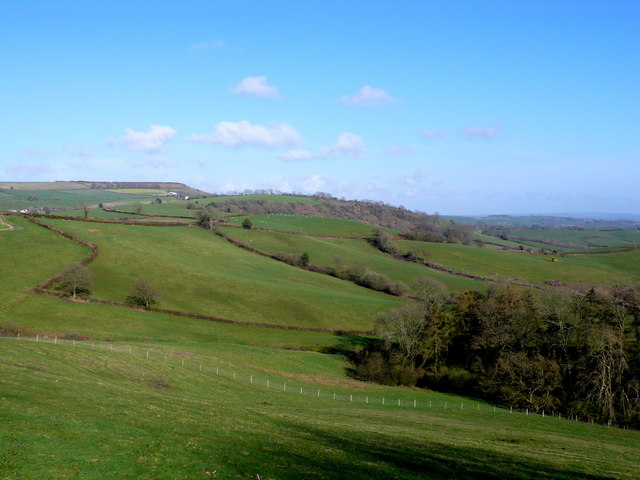
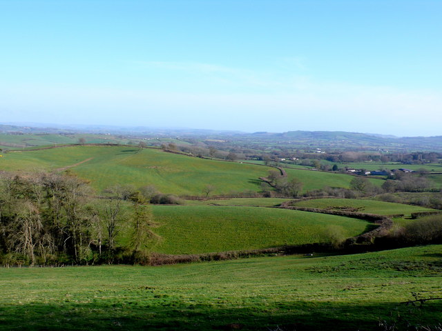
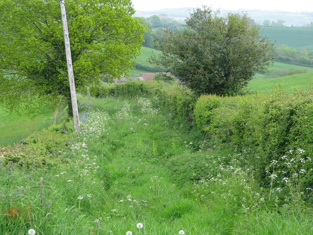
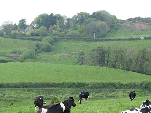
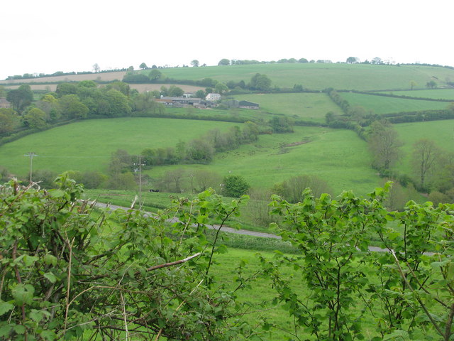
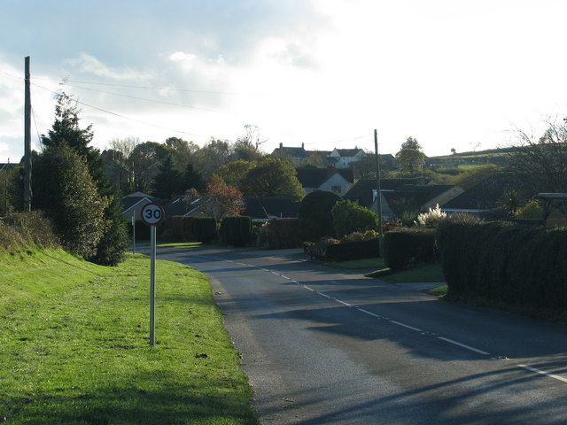
Manshay Coppice is a picturesque woodland located in the county of Dorset, England. Situated near the village of Manshay, the coppice covers an area of approximately 50 hectares. It is characterized by its dense, ancient woodland, which is made up of a variety of tree species such as oak, beech, ash, and birch.

The woodland is known for its remarkable biodiversity, hosting a wide range of flora and fauna. The forest floor is adorned with a colorful carpet of wildflowers, including bluebells, primroses, and wood anemones during the spring season. The towering trees provide a habitat for numerous bird species, such as woodpeckers, owls, and thrushes, making it a popular spot for birdwatching enthusiasts.

Manshay Coppice is also home to a diverse array of mammals. Roe deer, foxes, badgers, and squirrels can often be spotted within the woodland, adding to its natural charm. The tranquil atmosphere of the coppice, coupled with its scenic beauty, makes it a favored destination for nature lovers, hikers, and families seeking a peaceful retreat.

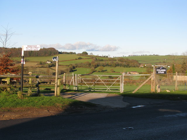
The woodland is crisscrossed with a network of walking trails, allowing visitors to explore its hidden gems. These paths offer opportunities to discover ancient trees, natural springs, and breathtaking viewpoints. Manshay Coppice provides a great escape from the hustle and bustle of daily life, offering visitors a chance to immerse themselves in the beauty of nature.

If you have any feedback on the listing, please let us know in the comments section below.

Manshay Coppice Images

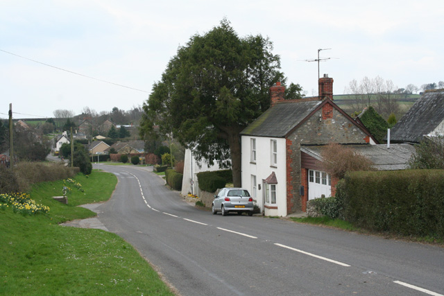
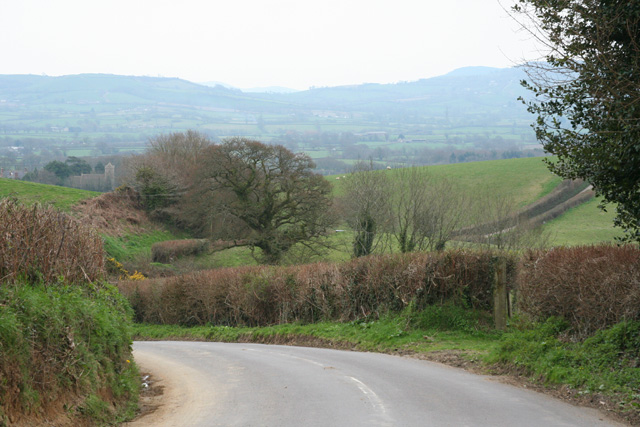
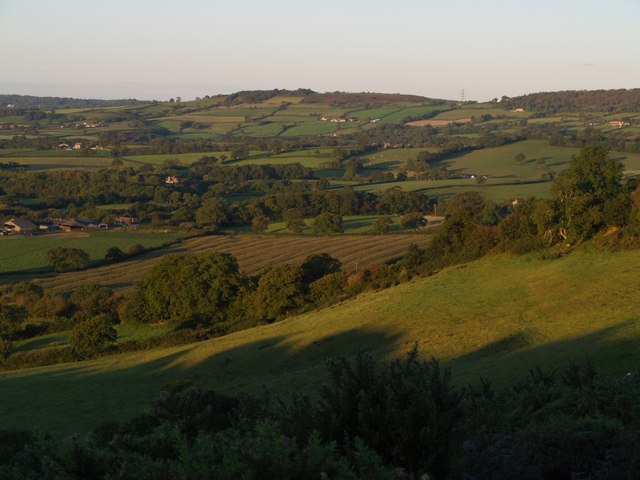
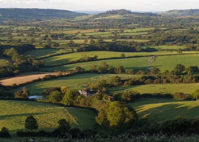
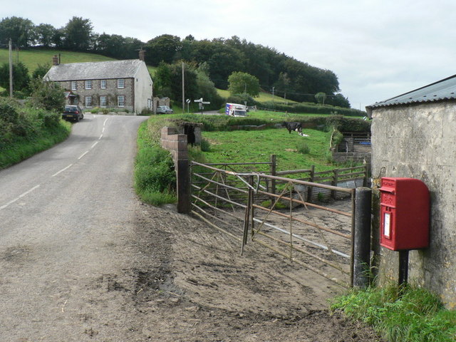
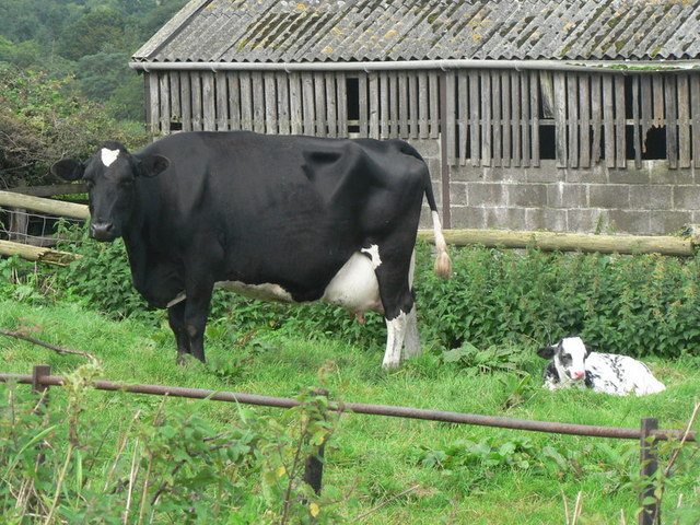
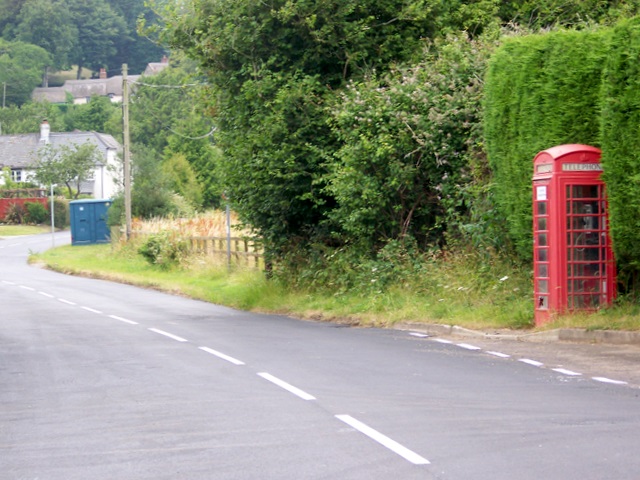
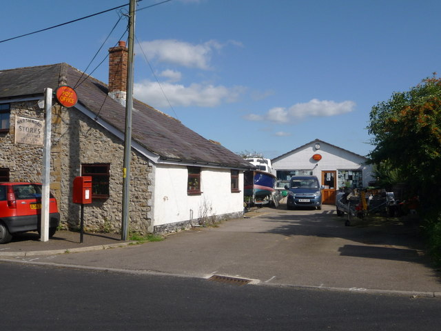
Images are sourced within 2km of 50.789849/-2.8615319 or Grid Reference SY3999. Thanks to Geograph Open Source API. All images are credited.

The B3165 at Marshalsea Looking south west near Tanyard Farm. Here the B3165 provides the boundary between Thorncombe and Bettiscombe parishes
The B3165 at Marshalsea
Looking south west near Tanyard Farm. Here the B3165 provides the boundary between Thorncombe and Bettiscombe parishes
Bettiscombe: by Horse Mill Cross Looking south. Near Birdsmoorgate
Bettiscombe: by Horse Mill Cross
Looking south. Near Birdsmoorgate
Country northeast of Bettiscombe The northern edge of the Marshwood Vale meets the hills - Sliding Hill is to the right. Taken from a similar spot to <a href="https://www.geograph.org.uk/photo/562668">ST4000 : Revelshay Farm</a>, and a few minutes earlier (7:19 am). On the left is Lower House Farm, in <a href="https://www.geograph.org.uk/gridref/SY4099">SY4099</a>. The hill in the distance is Coney's Castle - see <a href="https://www.geograph.org.uk/photo/475785">SY3797 : Northeast from Coney's Castle</a> for a corresponding view in this direction.
Country northeast of Bettiscombe
The northern edge of the Marshwood Vale meets the hills - Sliding Hill is to the right. Taken from a similar spot to ST4000 : Revelshay Farm, and a few minutes earlier (7:19 am). On the left is Lower House Farm, in SY4099. The hill in the distance is Coney's Castle - see SY3797 : Northeast from Coney's Castle for a corresponding view in this direction.
Revelshay Farm Looking down on the farm from a field close to Farthings Brake Coppice. The field forms a conservation walk adjacent to bridleway W32W22W38/7, which carries the Wessex Ridgeway down from Templeman's Ash into the Marshwood Vale. This forms the backdrop to the picture, with Conegar Hill rising beyond, and the sea visible on either side of it.
Revelshay Farm
Looking down on the farm from a field close to Farthings Brake Coppice. The field forms a conservation walk adjacent to bridleway W32W22W38/7, which carries the Wessex Ridgeway down from Templeman's Ash into the Marshwood Vale. This forms the backdrop to the picture, with Conegar Hill rising beyond, and the sea visible on either side of it.
View east from Marshwood This is the view east from the B3165 just south of Birdsmoorgate across the square towards the B3164 and Horse Mill Cross
View east from Marshwood
This is the view east from the B3165 just south of Birdsmoorgate across the square towards the B3164 and Horse Mill Cross
View south east from Marshwood The view south east across the square towards Bettiscombe
View south east from Marshwood
The view south east across the square towards Bettiscombe
B 3165 entering Marshwood Looking S along the B3165 just south of Birdsmoorgate. Marshwood is the northern end of Marshalsea
B 3165 entering Marshwood
Looking S along the B3165 just south of Birdsmoorgate. Marshwood is the northern end of Marshalsea
Birdsmoorgate: former Rose & Crown There is not much evidence to suggest that this used to be a pub, apart from the name Rose Crown House.
Birdsmoorgate: former Rose & Crown
There is not much evidence to suggest that this used to be a pub, apart from the name Rose Crown House.
Birdsmoorgate: postbox № DT6 68 The postbox is on the B3164 towards Broadwindsor (behind camera). In the distance is the <a href="https://www.geograph.org.uk/photo/935806">ST3900 : Birdsmoorgate: former Rose & Crown</a>.
Birdsmoorgate: postbox № DT6 68
The postbox is on the B3164 towards Broadwindsor (behind camera). In the distance is the ST3900 : Birdsmoorgate: former Rose & Crown.
Birdsmoorgate: cow and calf A cow and calf in the farmyard, by the crossroads.
Birdsmoorgate: cow and calf
A cow and calf in the farmyard, by the crossroads.
Telephone box, Marshalsea K6 type telephone box beside the B3165.
Telephone box, Marshalsea
K6 type telephone box beside the B3165.
Marshwood: the post office and postbox № DT6 49 The little postbox outside the village store is emptied finally at 3:30pm on weekdays and at 9:30am on Saturdays.
Marshwood: the post office and postbox № DT6 49
The little postbox outside the village store is emptied finally at 3:30pm on weekdays and at 9:30am on Saturdays.
Overgrown footpath to Bettiscombe House
Fields near Bettiscombe
A handy grit-bin on the hill where a minor road joins the B3164
Valley north of Birdsmoorgate
The B3164 through Birdsmoorgate
Gate by the public footpath
Show me another place!

Manshay Coppice is located at Grid Ref: SY3999 (Lat: 50.789849, Lng: -2.8615319)

Unitary Authority: Dorset

Police Authority: Dorset

What 3 Words

///freezing.vibrating.tailors. Near Charmouth, Dorset

Related Wikis

Bettiscombe

Bettiscombe is a small village and civil parish in west Dorset, England, situated in the Marshwood Vale four miles (6.4 km) west of Beaminster. Dorset...

St Mary's Church, Marshwood

St Mary's Church is a Church of England church in Marshwood, Dorset, England. The earliest part of the church is the tower, which dates to 1840, while...
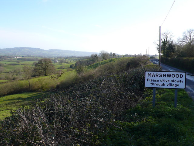
Marshwood

Marshwood is a village and civil parish in west Dorset, England, situated on the northern edge of the Marshwood Vale approximately 5.5 miles (8.9 km) northeast...
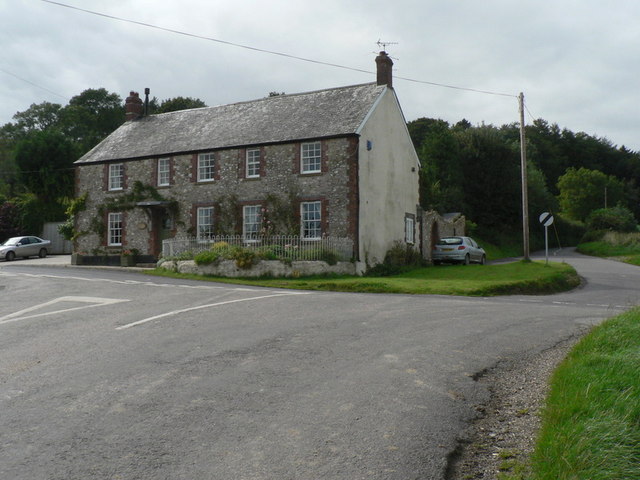
The Bottle Inn

The Bottle Inn is a 16th-century public house at Marshwood in Dorset, England which hosts the World Nettle Eating Championship. It is Grade II listed....

Nearby Amenities

Located within 500m of 50.789849,-2.8615319
Crossing
Lat/Long: 50.7898333/-2.8577608
Crossing
Lat/Long: 50.7898225/-2.857762
The data included in this document is from www.openstreetmap.org. The data is made available under ODbL.

Have you been to Manshay Coppice?

Leave your review of Manshay Coppice below (or comments, questions and feedback).